Tihany is not unknown to tourists as it’s a popular destination famous for the Abbey, the quaint little houses and the lavender fields. However, the peninsula has much more to offer and the weaving net of hiking trails makes it easy to discover every part of it.
We wanted to pack as many sights into one day as possible so we chose the long route that snakes around the peninsula. I had my doubts before we set off as 13 kilometers with hill climbing seemed quite ambitious for a beginner hiker but we completed the route within 4.5 hours and the whole experience was highly rewarding.
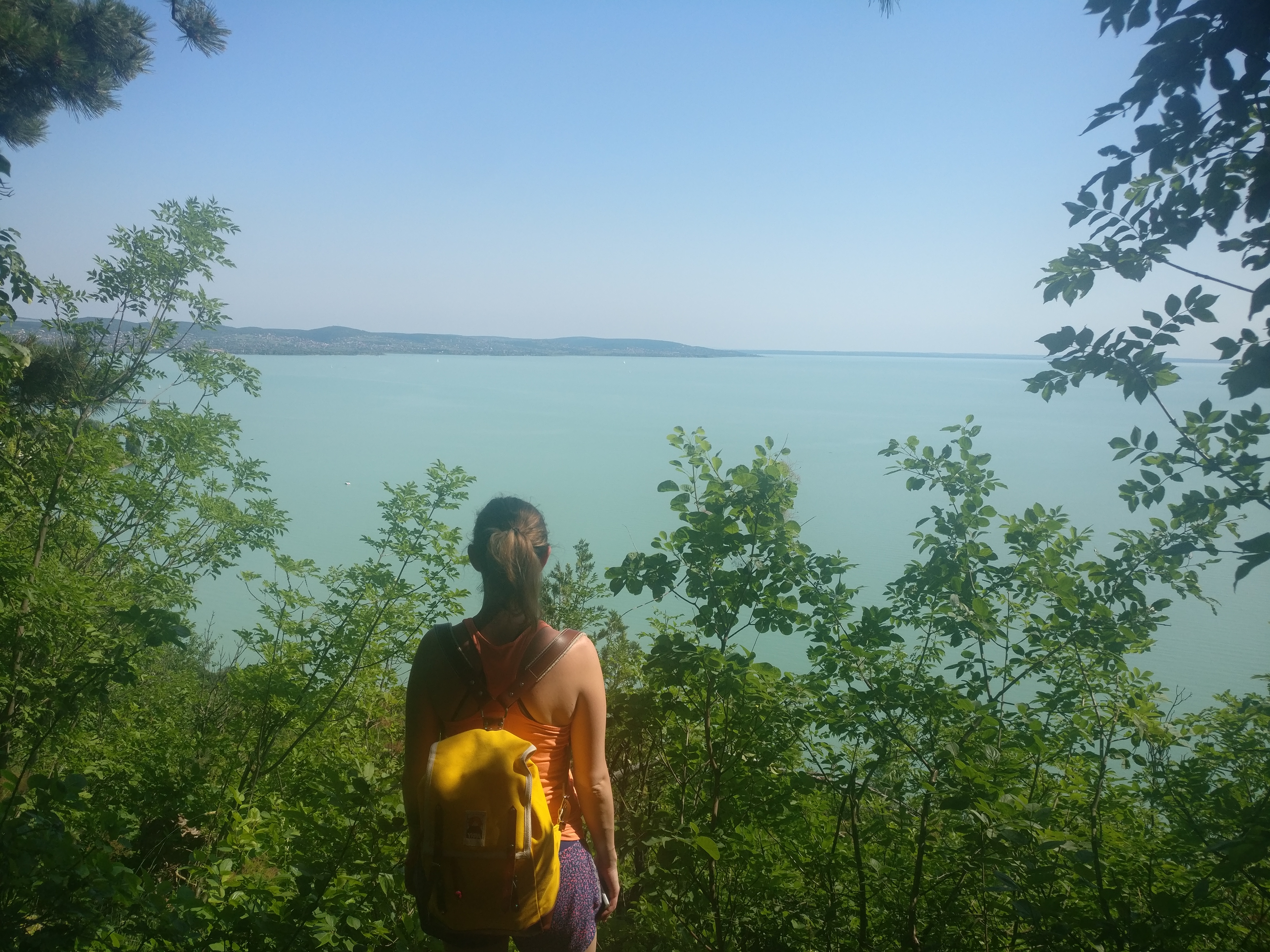
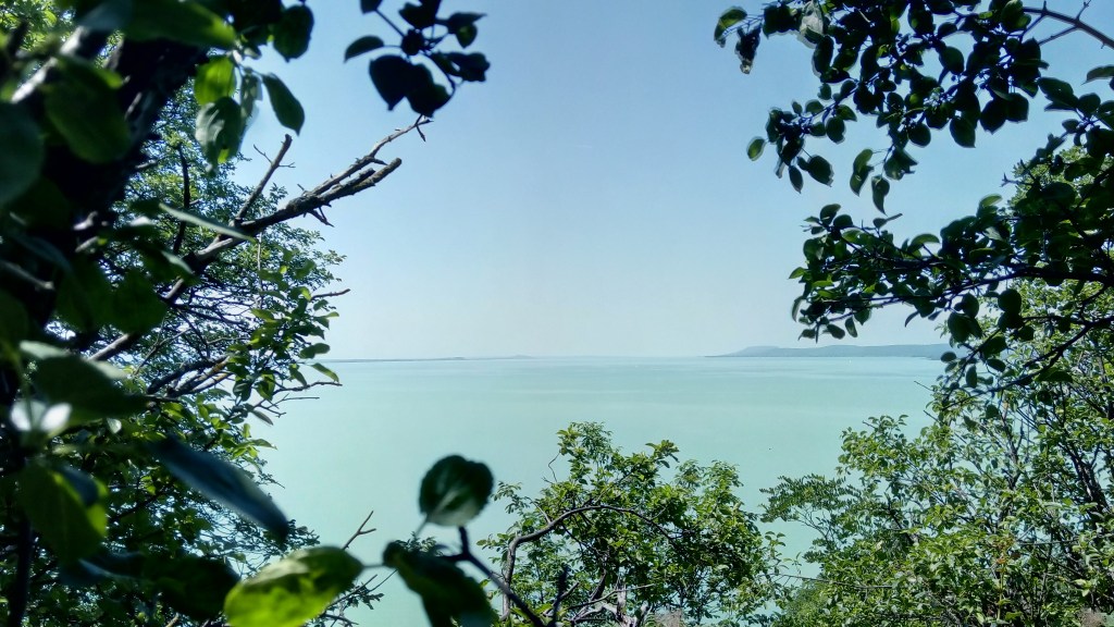
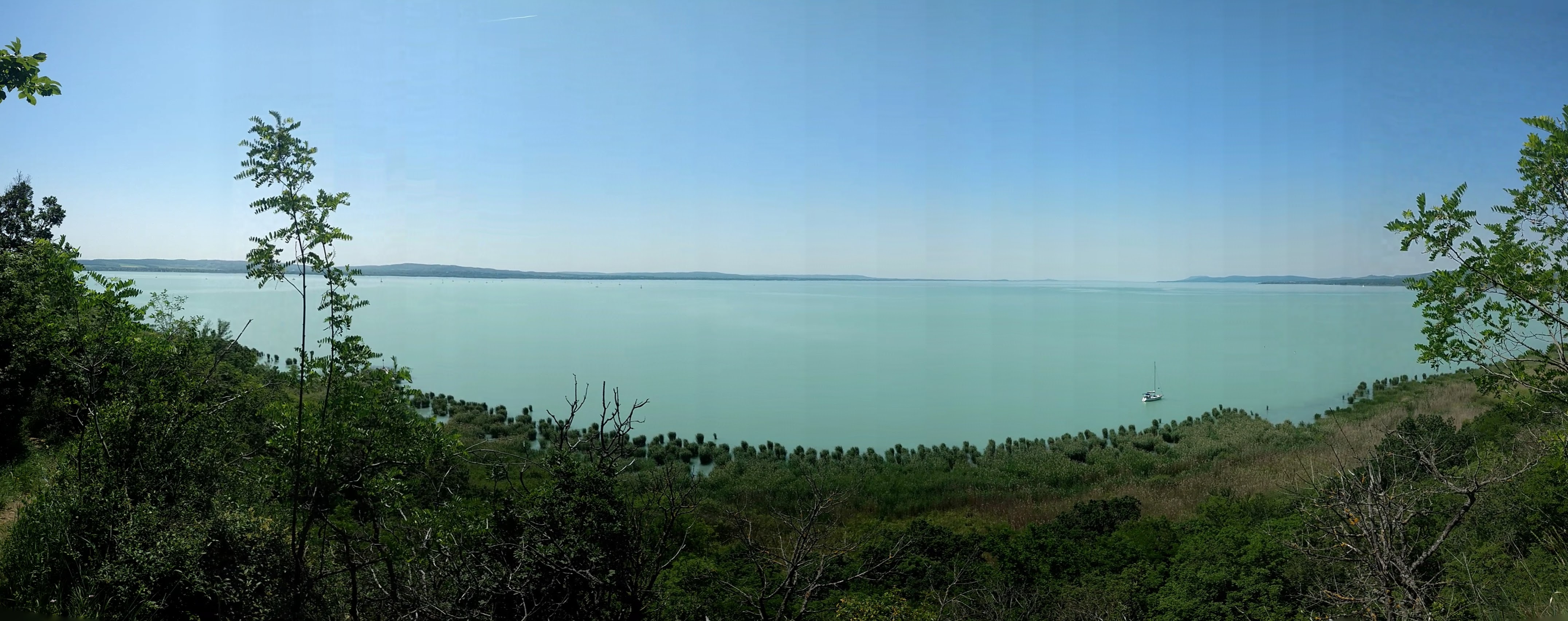
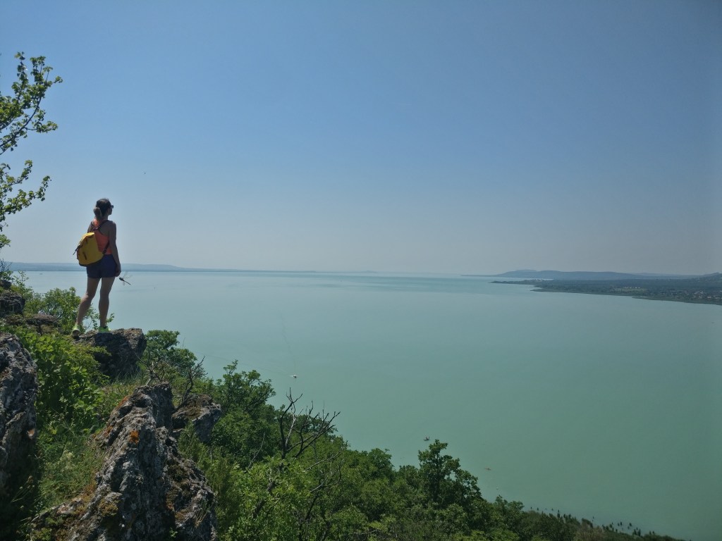
We, Hungarians love to say that the Balaton is the Hungarian Sea, which I thought to be a boring cliché but I stand corrected as throughout the day I had the feeling that we’re walking alongside the sea. The unbelievably blue water sparkling in the sunlight and dotted with white sailboats and the cicada chorus reminded me of Croatia or Greece.
We experienced varied geological scenery, lakes, fascinating rock formations, hills and a landscape that is bursting with life, rare plants, butterflies and dragonflies. What more do you need? Let’s explore the area, this route is only one of the many you can choose from, so ready, steady, go!
Details of the walk
Important: Maybe it goes without saying, but sunscreen and some sort of cap is highly recommended during the summer period as the trail doesn’t always go in the shadow of the trees and the sun does not mess around these days
Distance: approx. 14 km
Route: http://out.ac/dLHOx (GPX file is available)
Duration: 4,5-5 hours in a confortable walking speed
The itinerary:
We set off from the Inner Lake and right away had a slight detour as we spotted a Hungarian Grey Cattle herd (an ancient breed of domestic beef cattle indigenous to Hungary) and of course I had to get a closer a look.
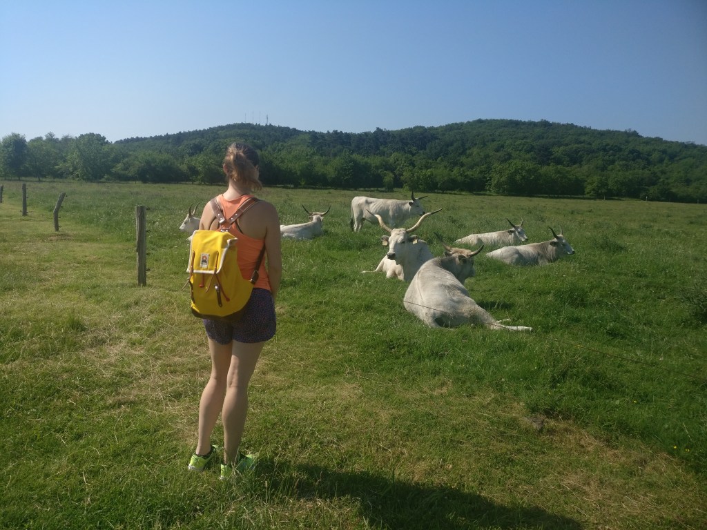
Finding new friends
The first stop of our hike was the Akasztó-domb, (Gallows hill). The name speaks for itself, this was the spot where the gallows pole was erected. Today, the hill gives a nice view of the bay below.
We got to the Akasztó-domb by walking along the Aranyház street, crossed the main road and from the parking place (with a few little wooden cabins as a farmer’ market is located here) we took the green line trail.
View from the Gallows hill
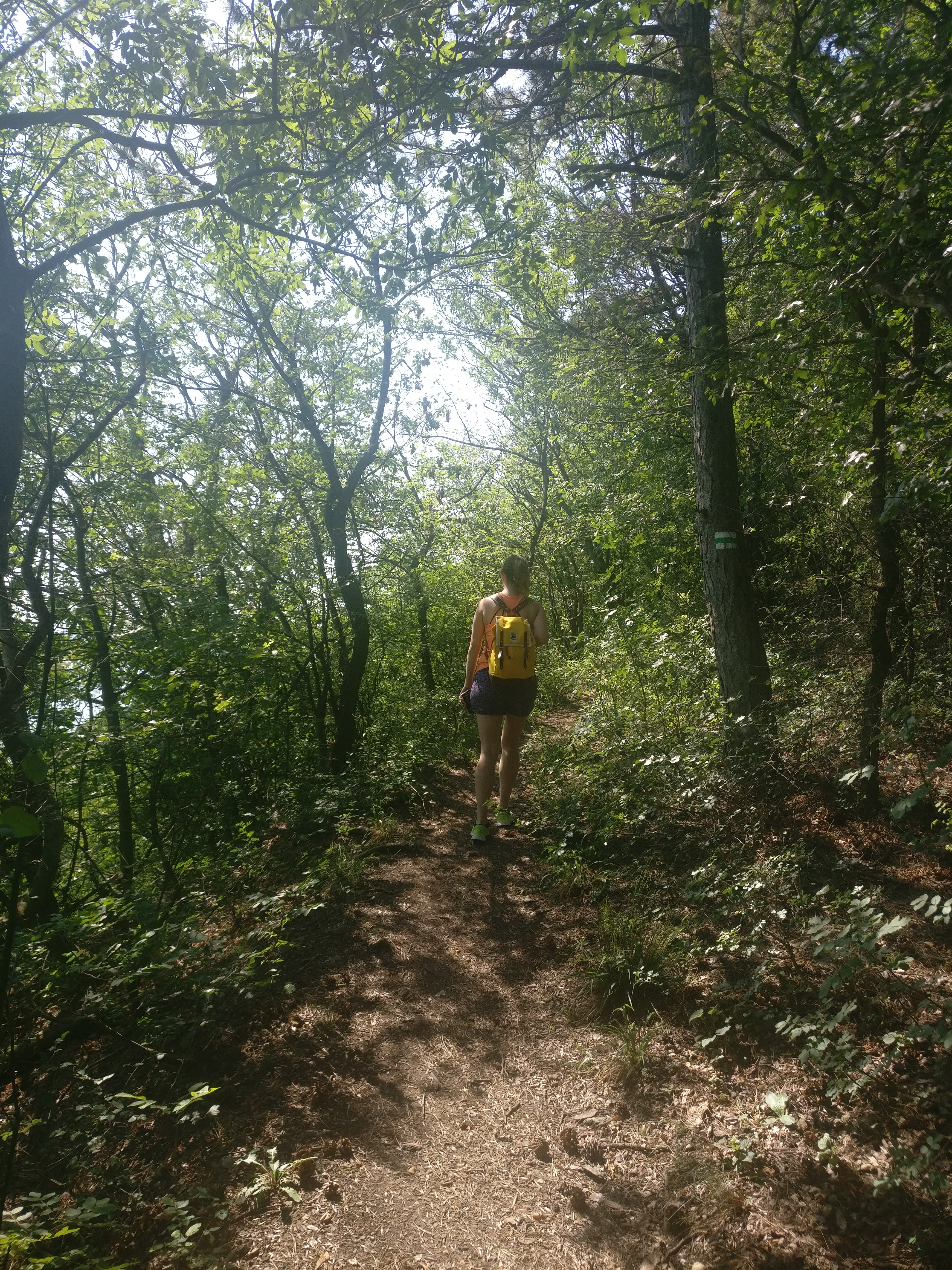
We followed the trodden path that led us back to the main road, which we crossed little further down to the left at the sign Ferenc Pince csárda and we kept following the green line sign straight ahead. There are marked intersections at regular intervals so no matter which hiking trail you decided to take, you won’t get lost.
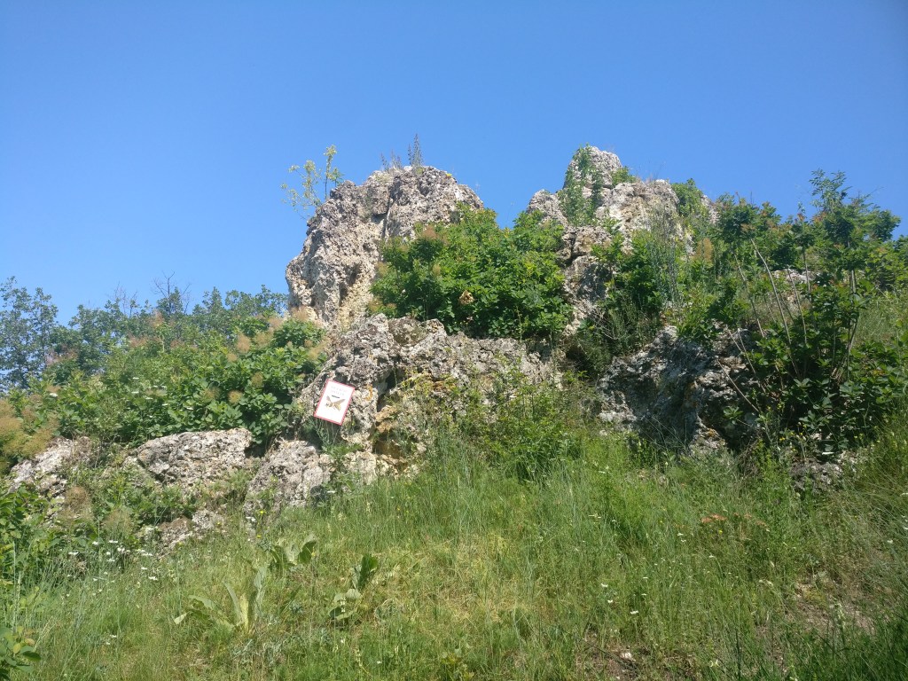
As we didn’t want to miss to geyser formations,we followed the signs leading to the Aranyház (Golden House), which is one of the most well-known of the geyser formations.
After around 20 minutes from crossing the main road, we reached the geyser field area with several geyser cones, created by volcanic activity a million years ago. The cones take all kind of shapes and sizes and I’m fascinated by their cute names: Peastone cone, Hatted Cone, Tunnel Cone,Badger’s Castle (Borsóköves-kúp,Kalapo-kúp,Átjáró-kúp,Borzvár in Hungarian). The highest one, referred to as the Golden House due to the yellow moss that grows on the surface, gives a spectacular view of the peninsula.
Golden House 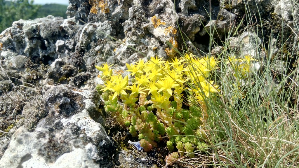
The namesake yellow moss 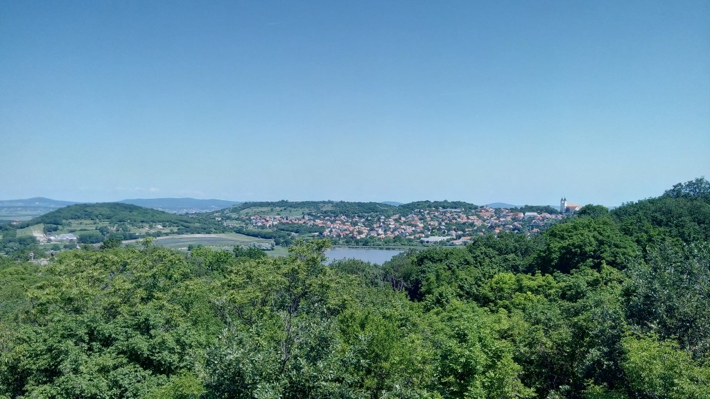
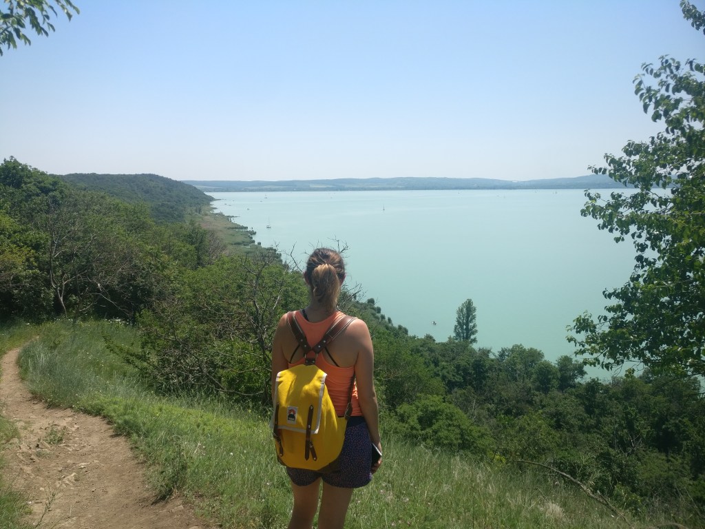
Panorama from the top of the Golden House
Enjoying the view
Peastone Cone 
Hatted Cone 
Tunnel Cone
From here, we followed the yellow cross sign leading to Hálóeresztő(couldn’t find a decent translation of this word, it basically means ‘let the net down’). On our way, we passed another interesting geyser cone, the Borzvár( Badger’s Castle) and after arriving to Hálóeresztő at the Half-Cut Cone, we turned right to the yellow line path, which took us to Csúcs-hegy (Peak Mountain).
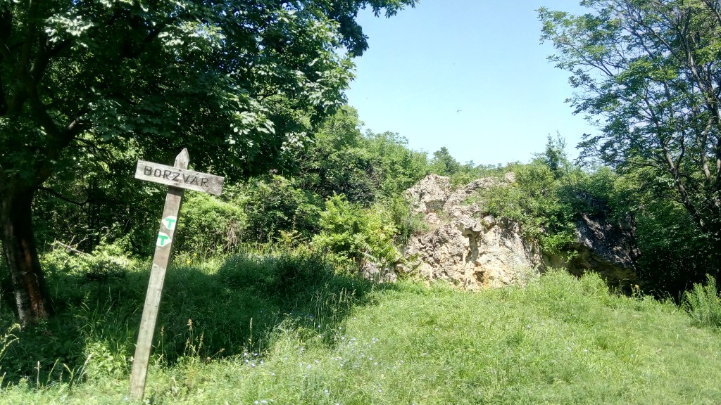
Badger’s Castle 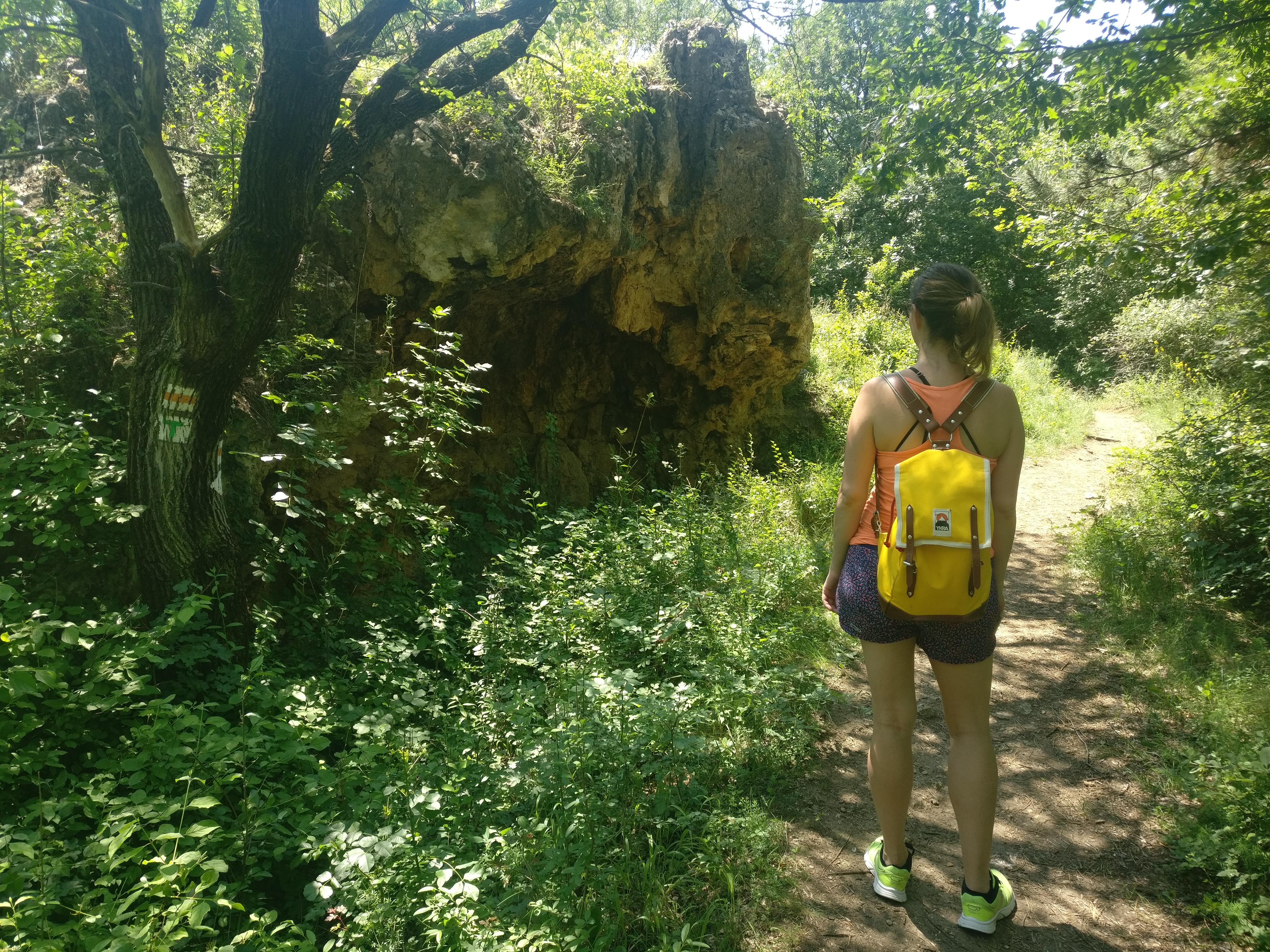
Half-Cut Cone
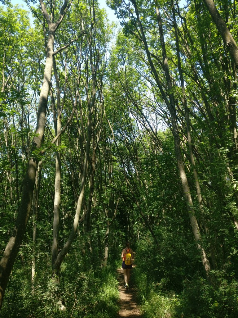
The path led up and down, through the Szarkádi-erdő (Szarkádi forest) with tantalizing glimpses of the cool Balaton water. At one point, we reached a forest school, where we turned left on the stone road and then to the right following the marked path up to Gurbicza peak, which rewarded us with breathtaking views (literally as we had climb to 174 meters).
Just before we reached the peak of Peak Mountain ( please don’t hate me for the bad pun), we stumbled upon a cave, which according to the folklore was used by the famous outlaw, Jóska Sobri. Before you reach the cave, there’s a junction, take the trail to the left.
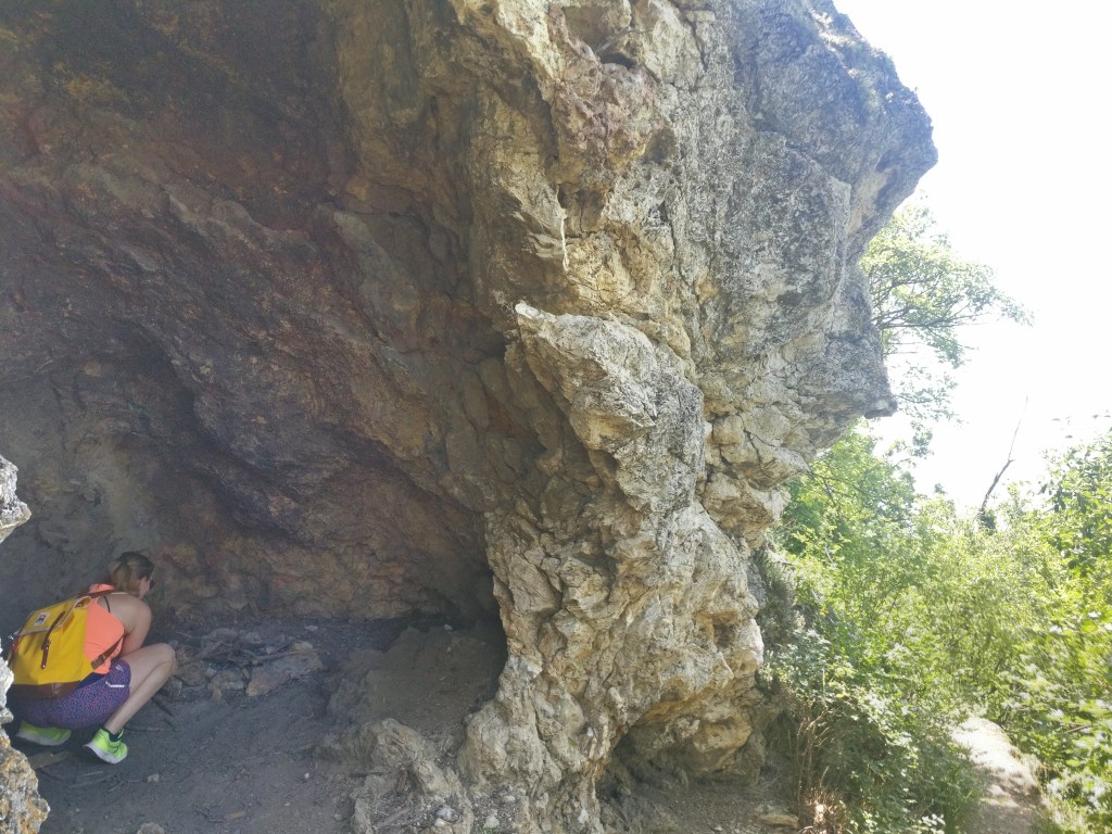
I’m trying to picture myself as Jóska
We continued along Nyereg-hegy (Saddle Mountain), which is a narrow cliff ridge connecting the Peak mountain to the Apáti mountain.
Here, I enjoyed a Lion King moment with my new buddy Mr. Dragonfly, 10 points if you can find him in the picture.
My Lion King moment with my new friend at my right hand
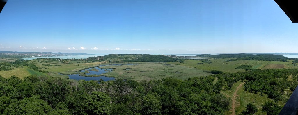
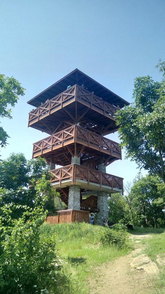
Soon after, we reached Őrtorony Lookout Tower from which we enjoyed a birds eye view of the area and had a much needed rest in the cool breeze.
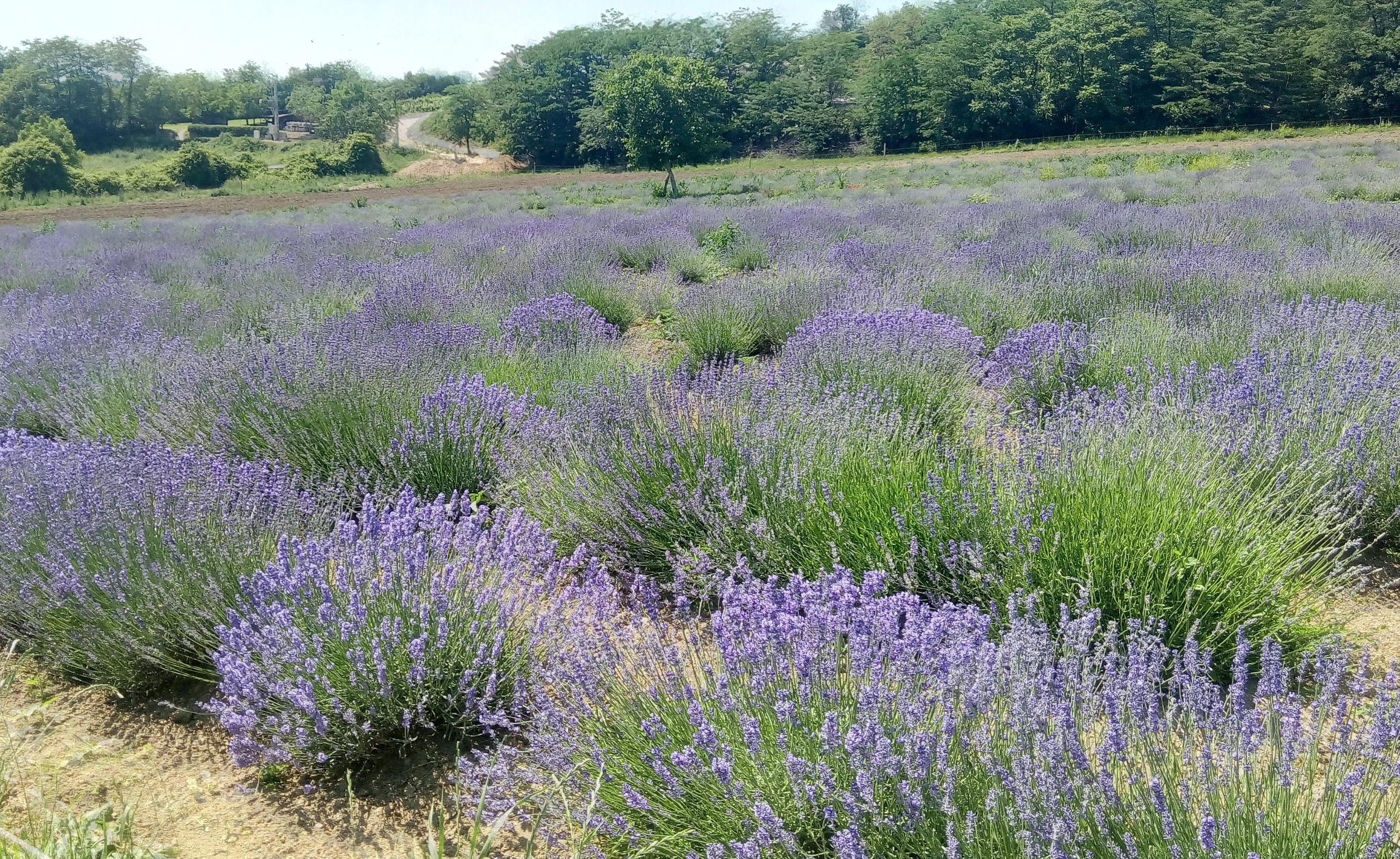
Then we started the final leg of our hike, crossing through the fields between the Outer and Inner Lake, finally reaching a lavender field. I did not particularly enjoy this part as at this point we were craving fresh water not just to drink but also to wash down the dirt of the road. When at last we dragged ourselves up to the village of Tihany, salvation arrived in the form of an ice cream, one of the best I had in my entire life.All in all, we had a wonderful day with scenic views and relaxing bird chirping.