Devil’s Trench – Ördög-árok

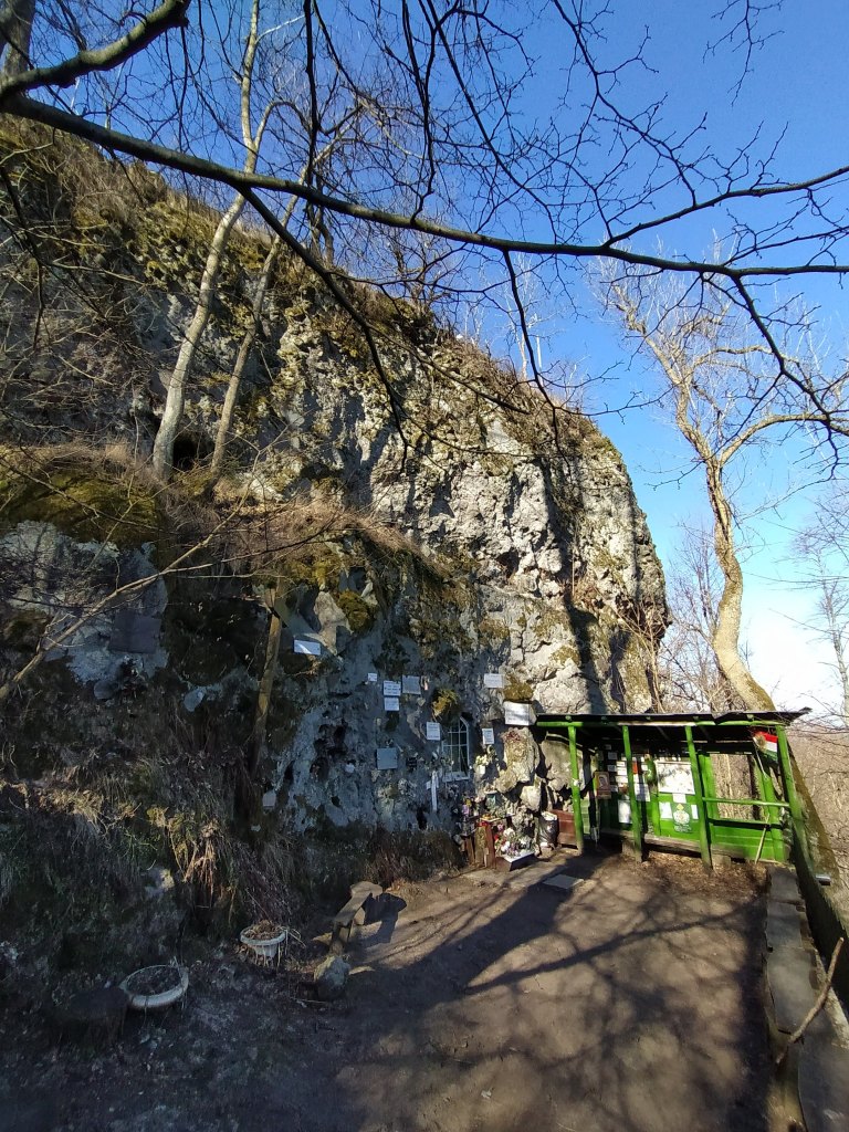
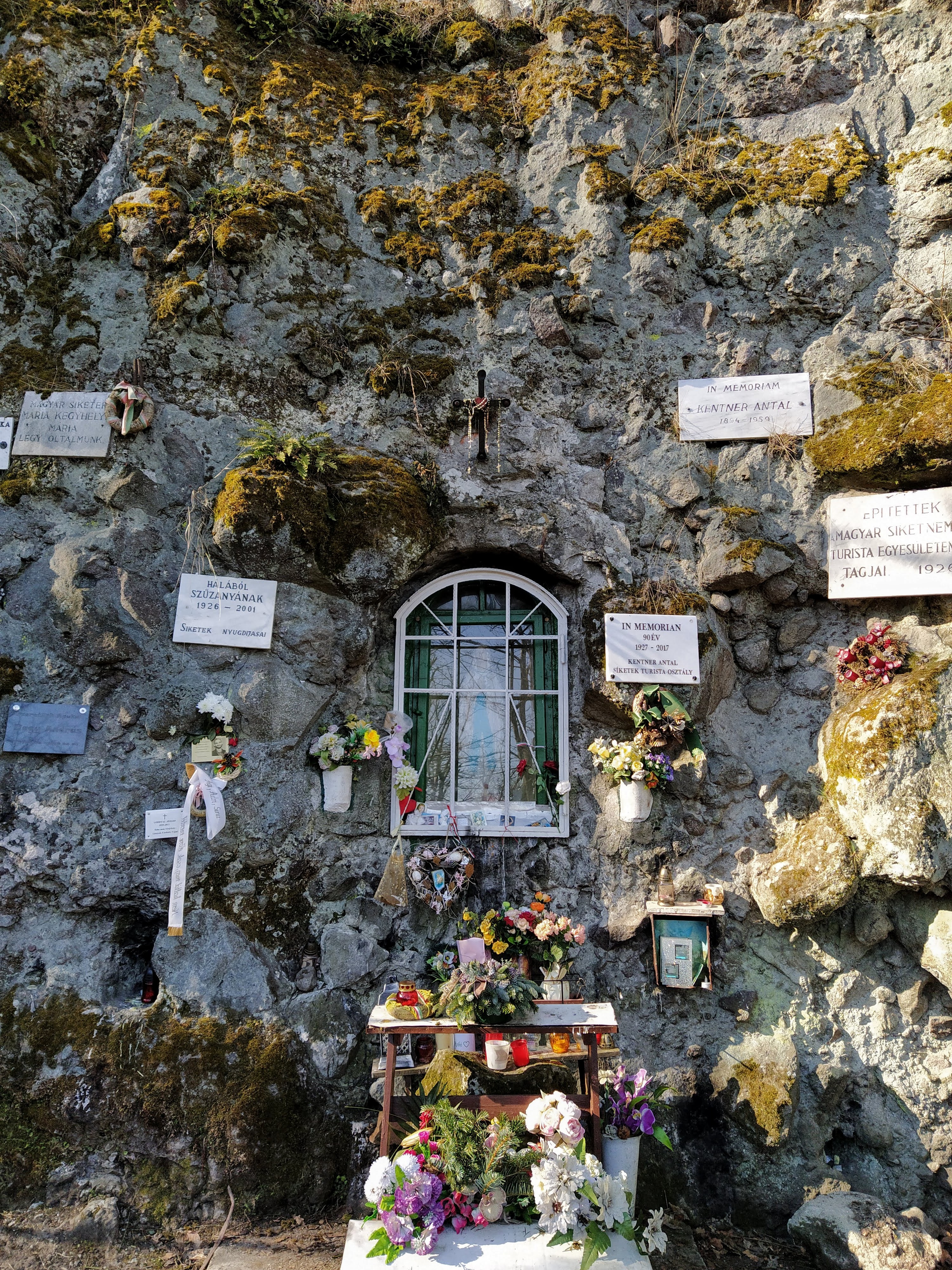
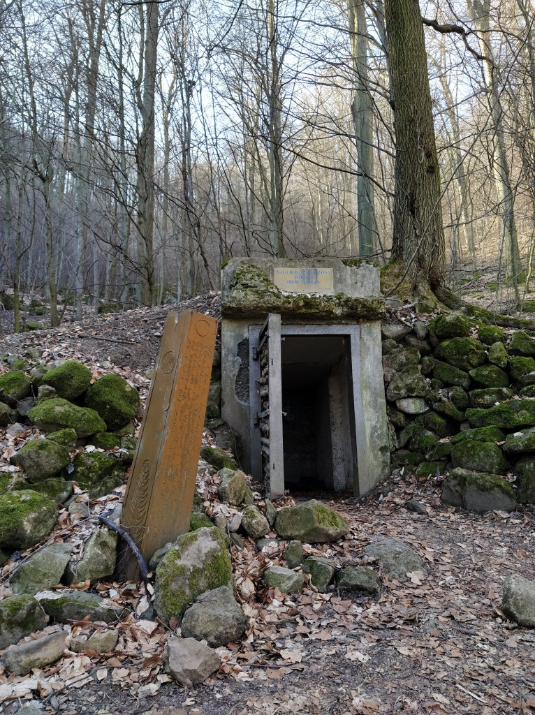
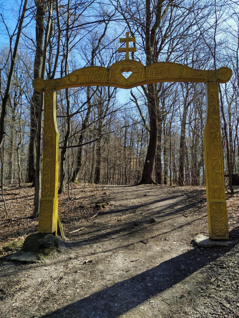
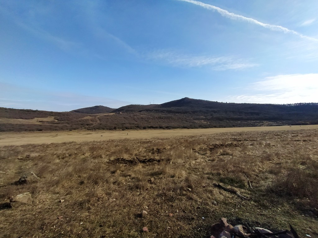
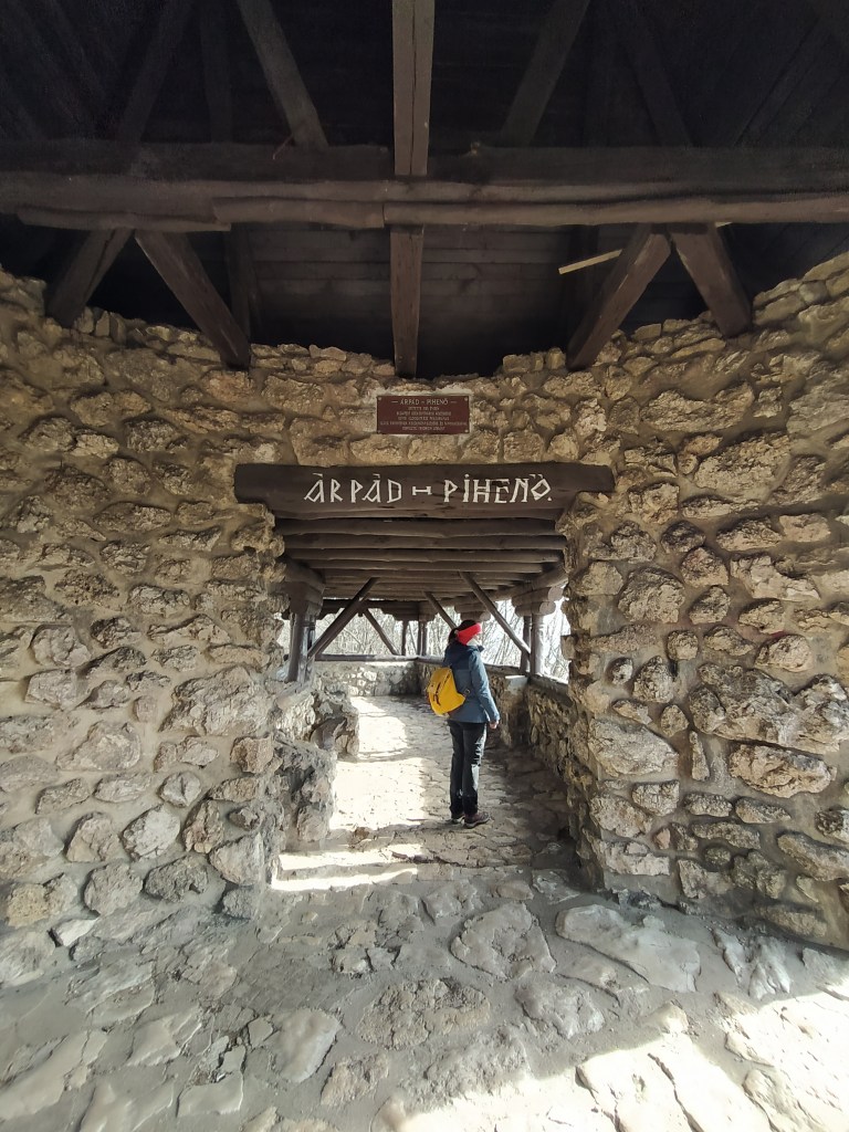
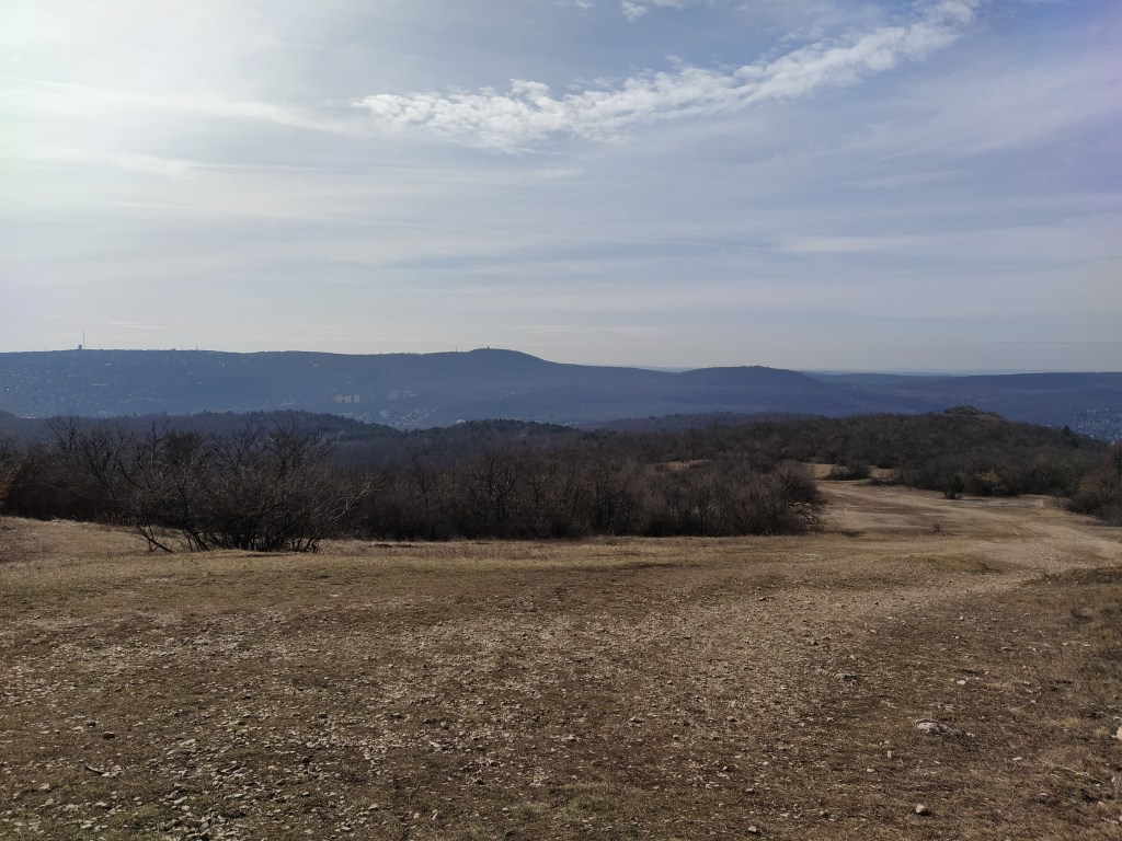
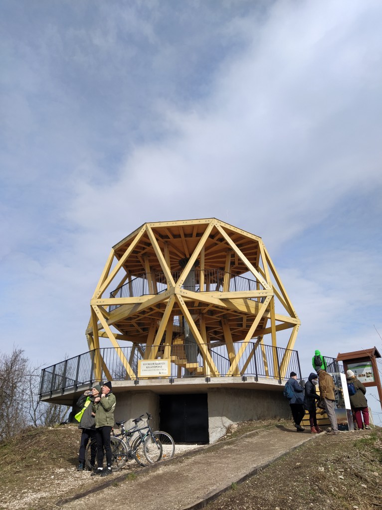
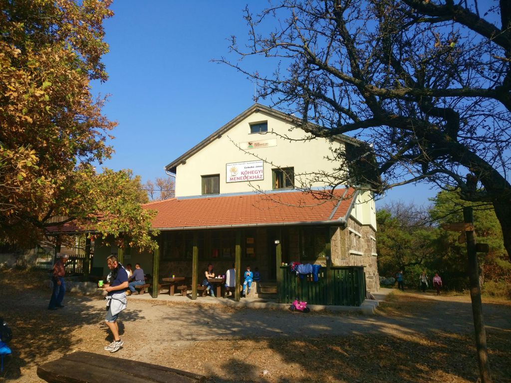
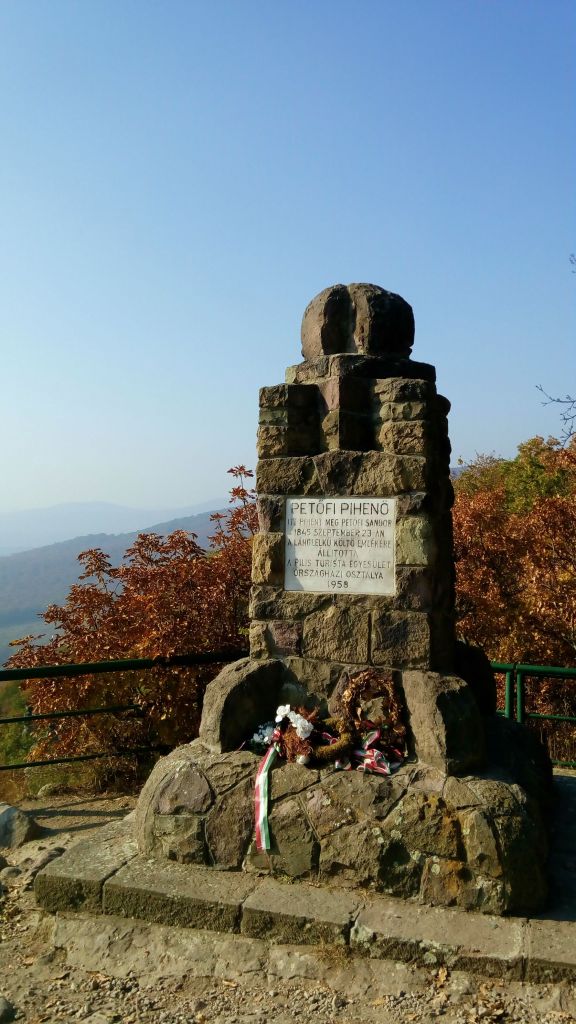
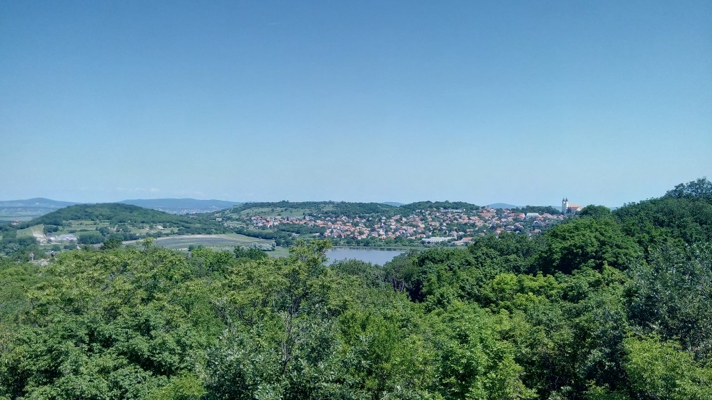
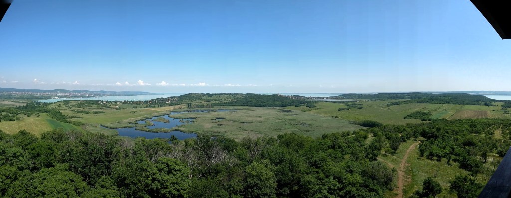
I happened upon this place in the Bakony hills, while searching for a hiking trail where we don’t need to enter a village or a town.
I’m a sucker for gorges ,especially for big ones (yeah I’m sorry, size does matter in this case), so it went straight to my bucket list.Thankfully, it wasn’t there for long.

Details of the walk:

Distance: 9,4 kilometres
Route: http://out.ac/ozjdr (GPX and KML formats are available)
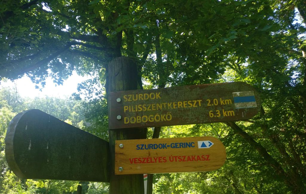
How to get there: By public transport: several buses stop at the Gézaházpuszta, or it can be reached from Bakonyoszlop
By car: Parking az Gézaházpuszta


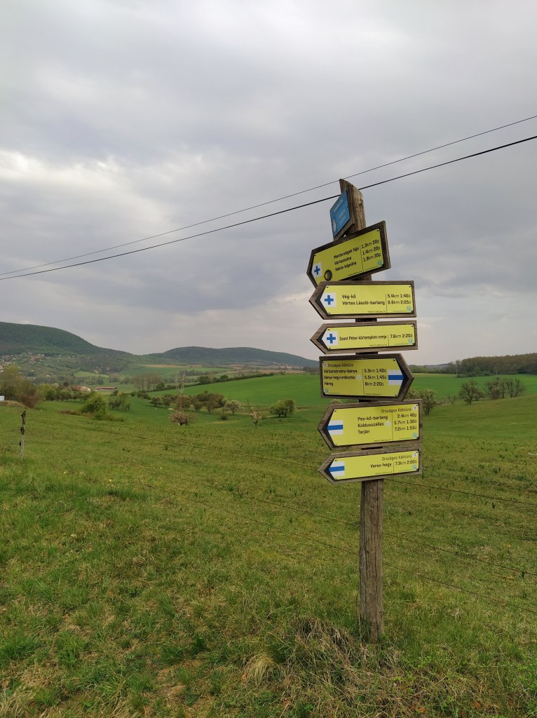
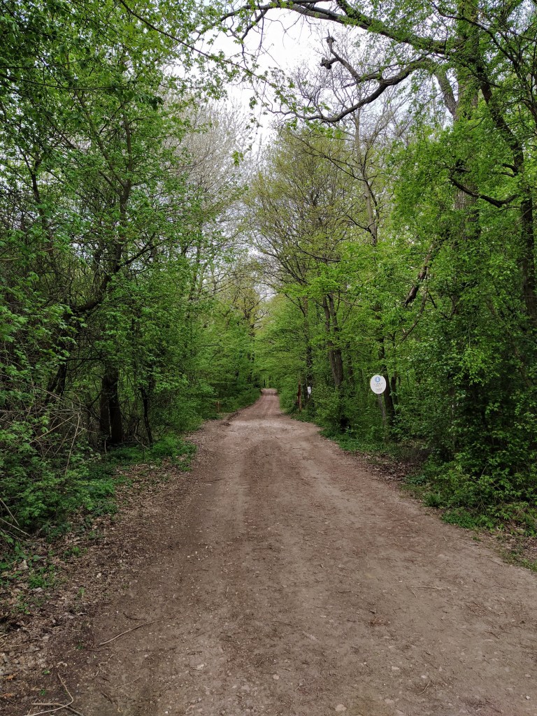
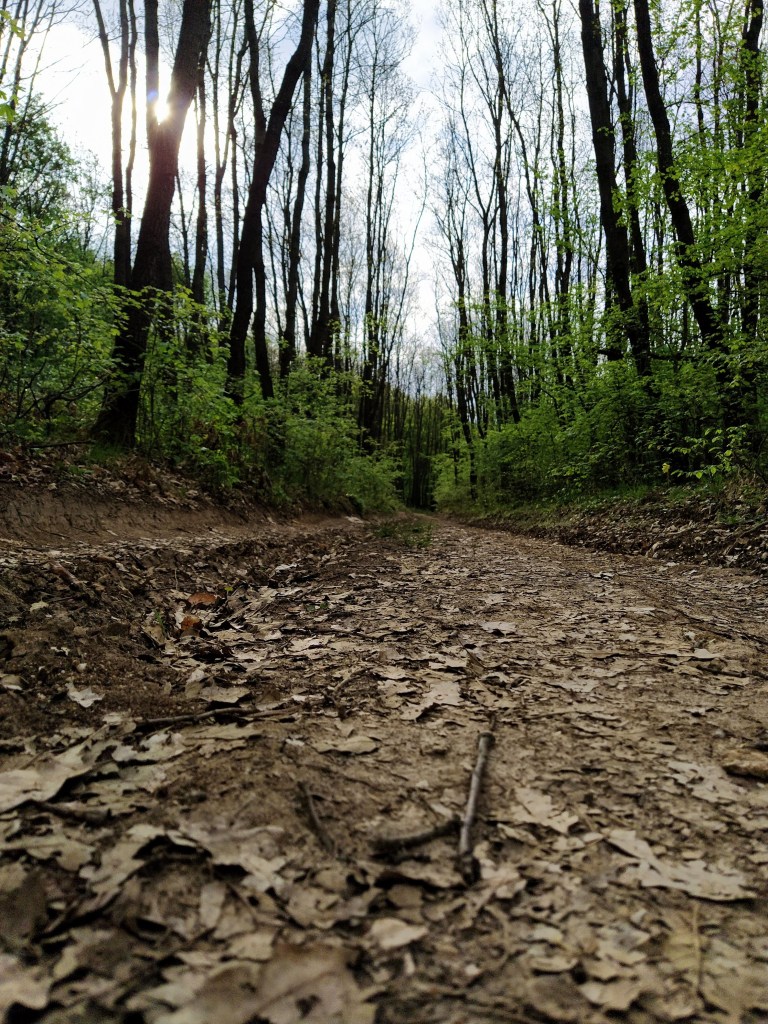
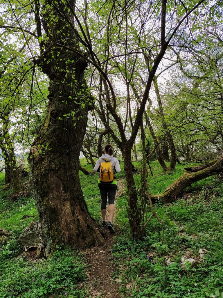
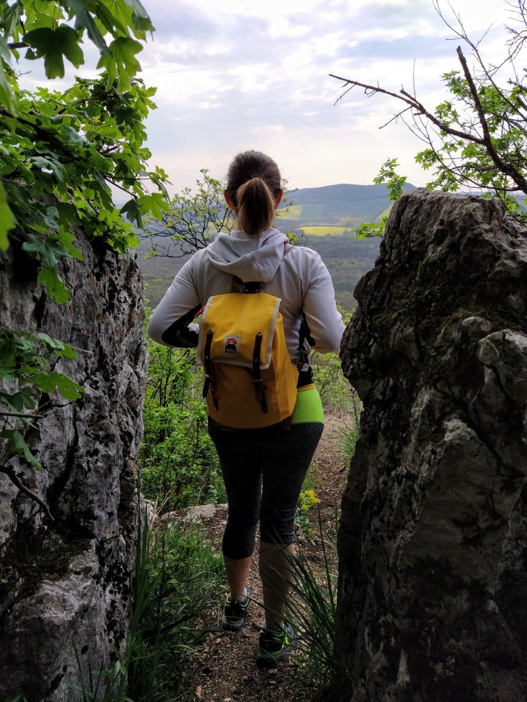
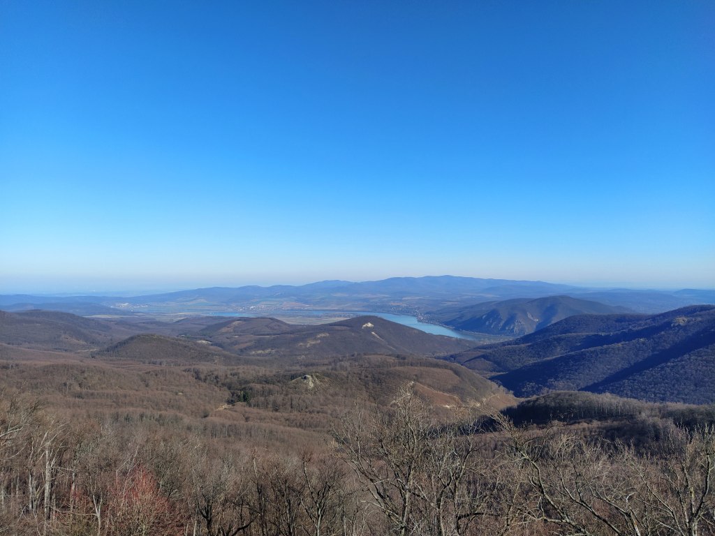
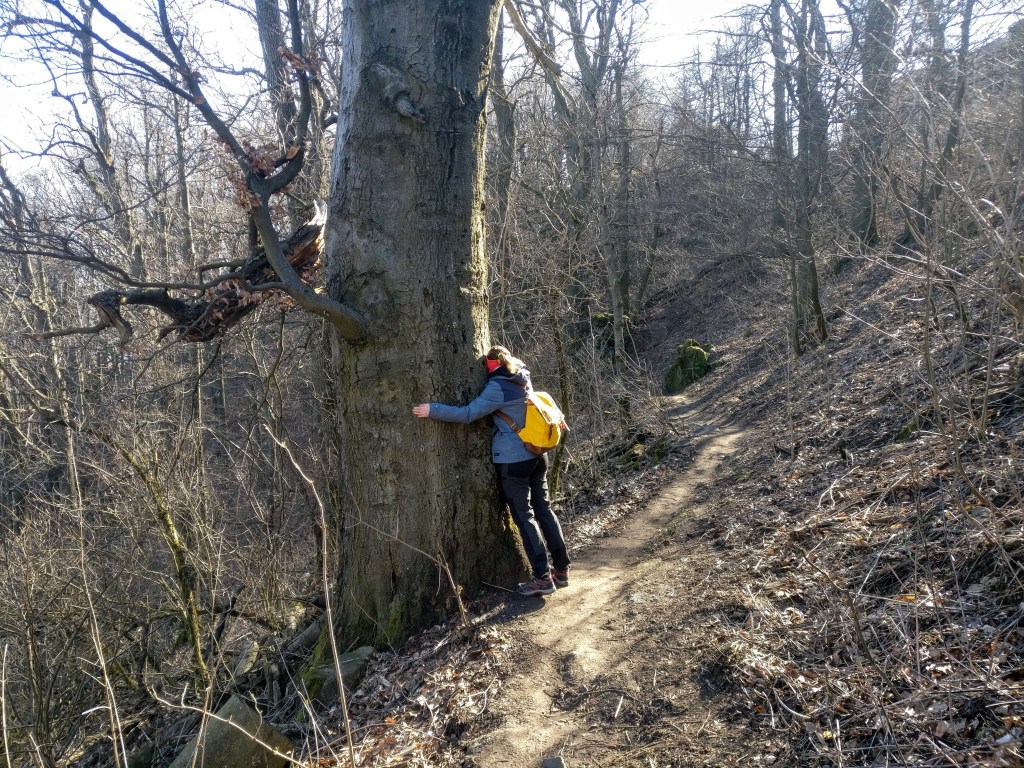
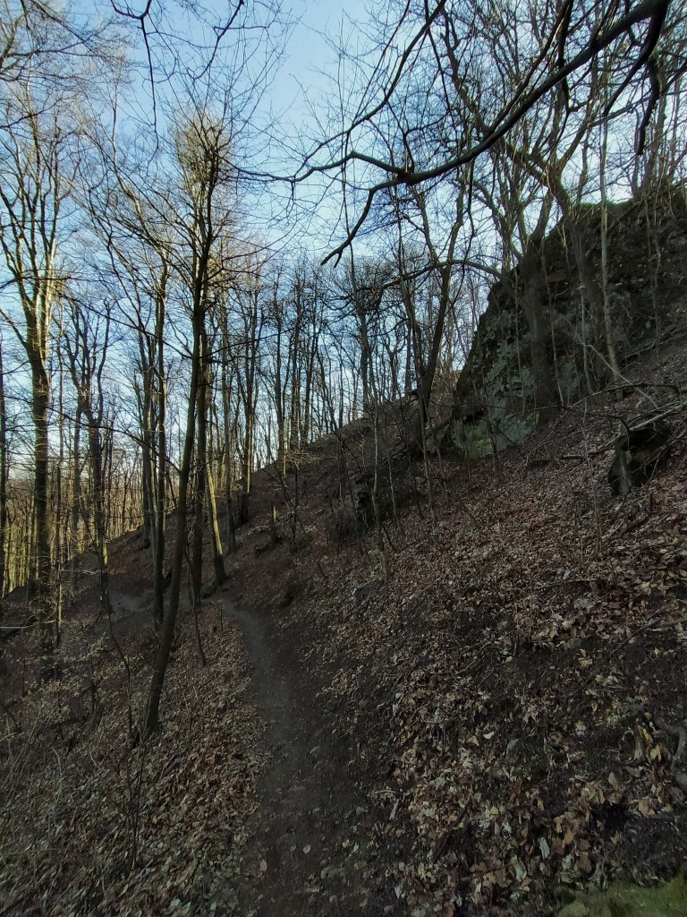
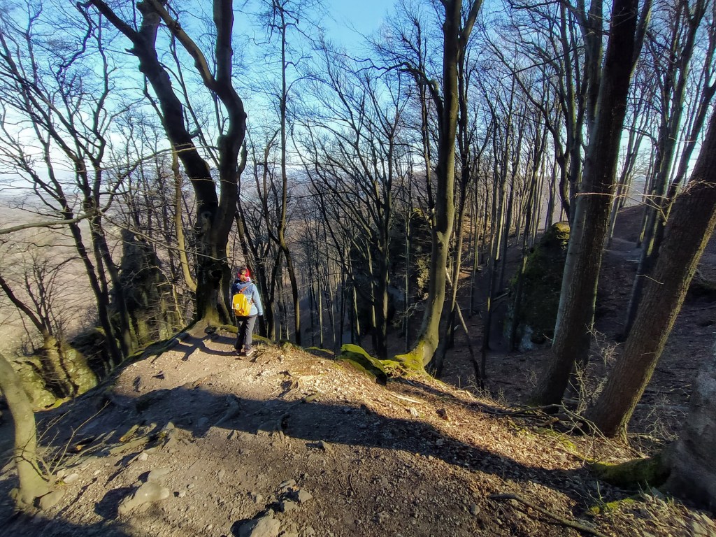
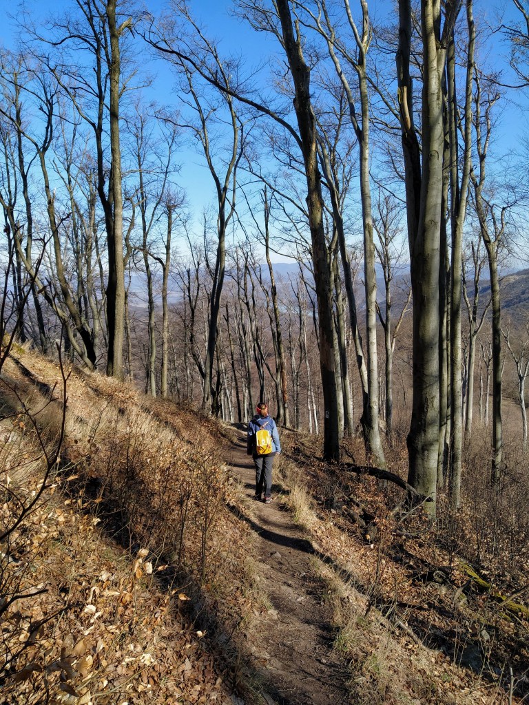
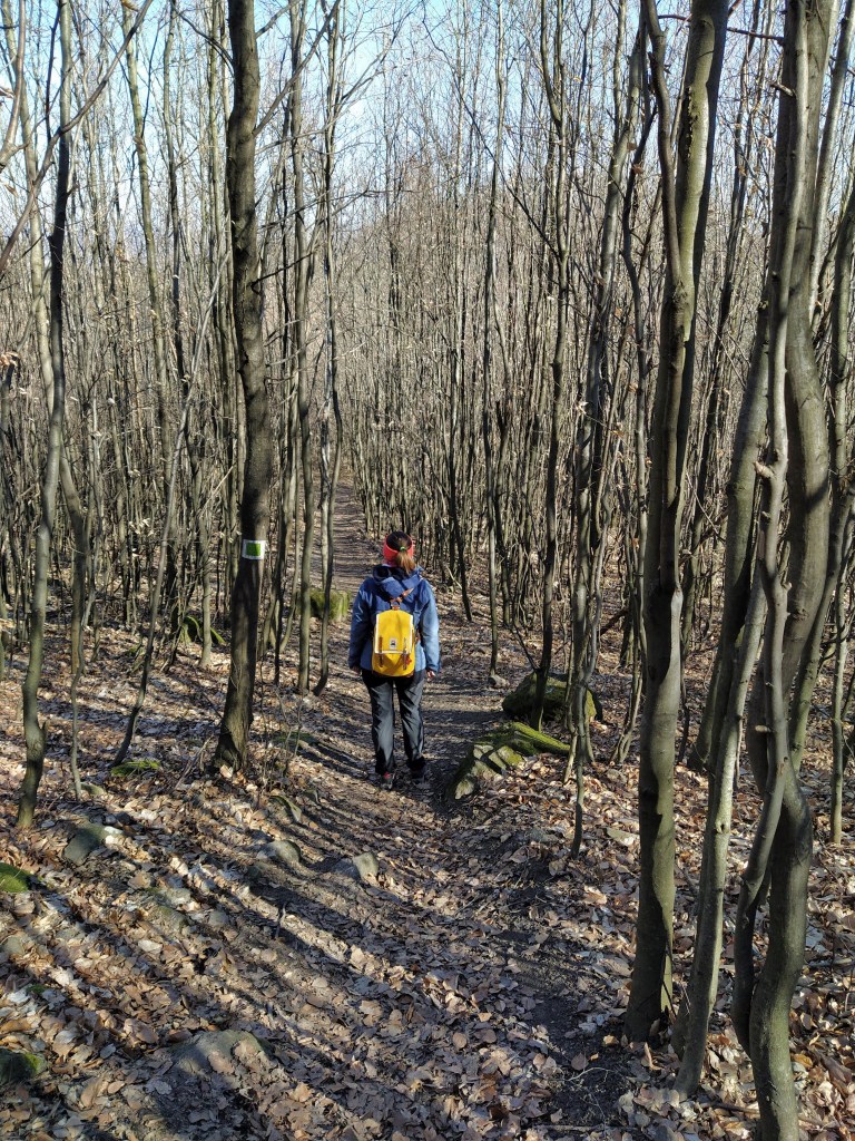
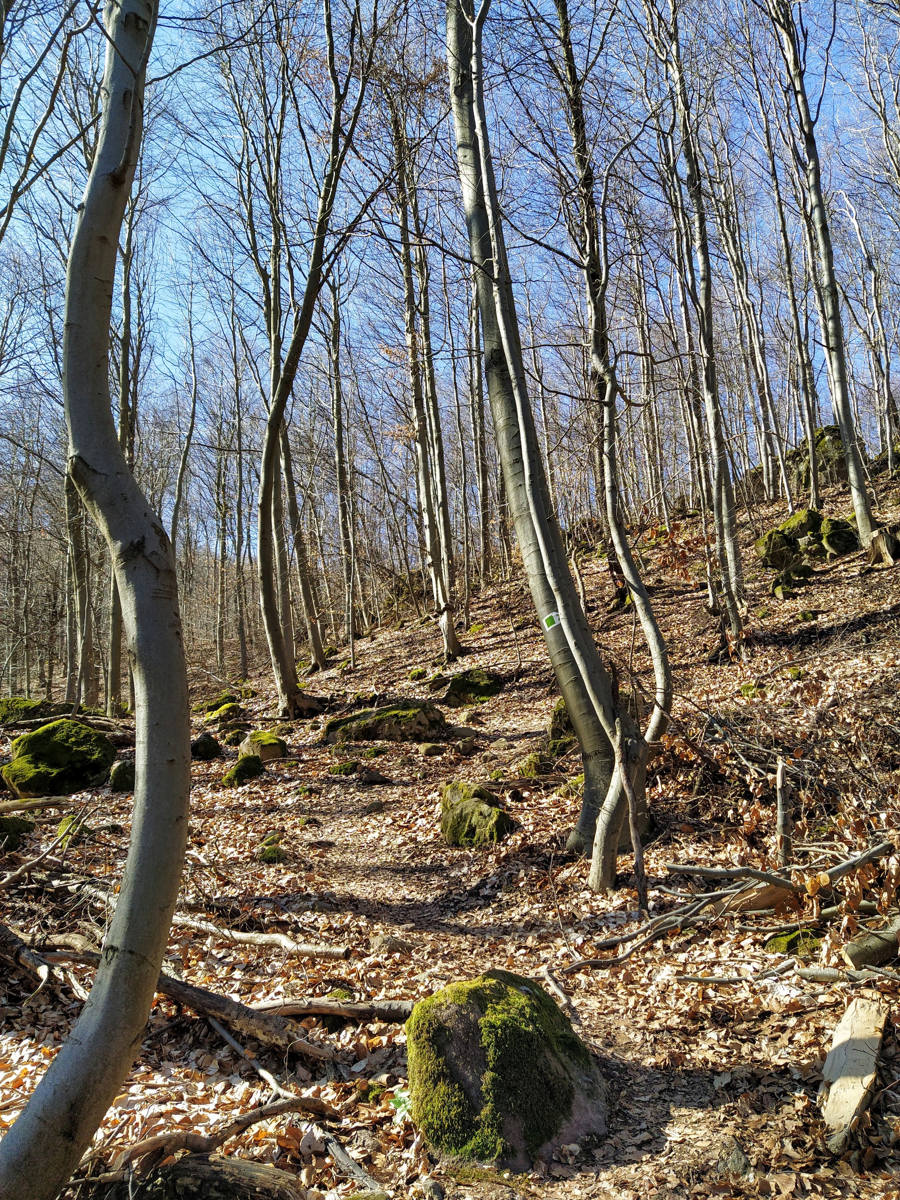
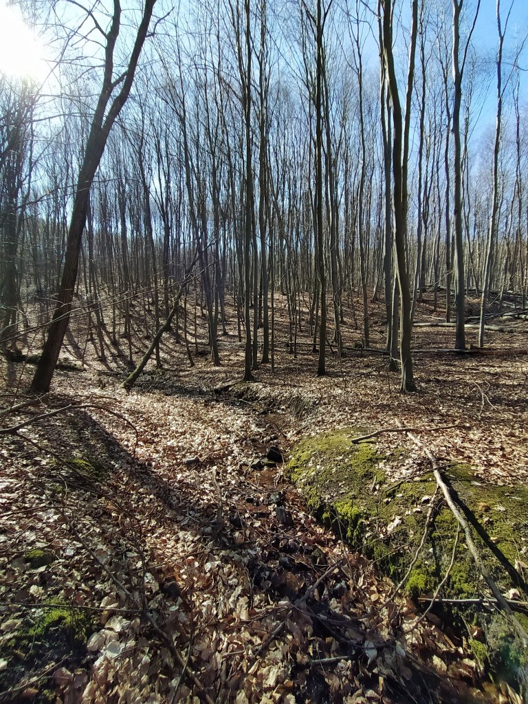
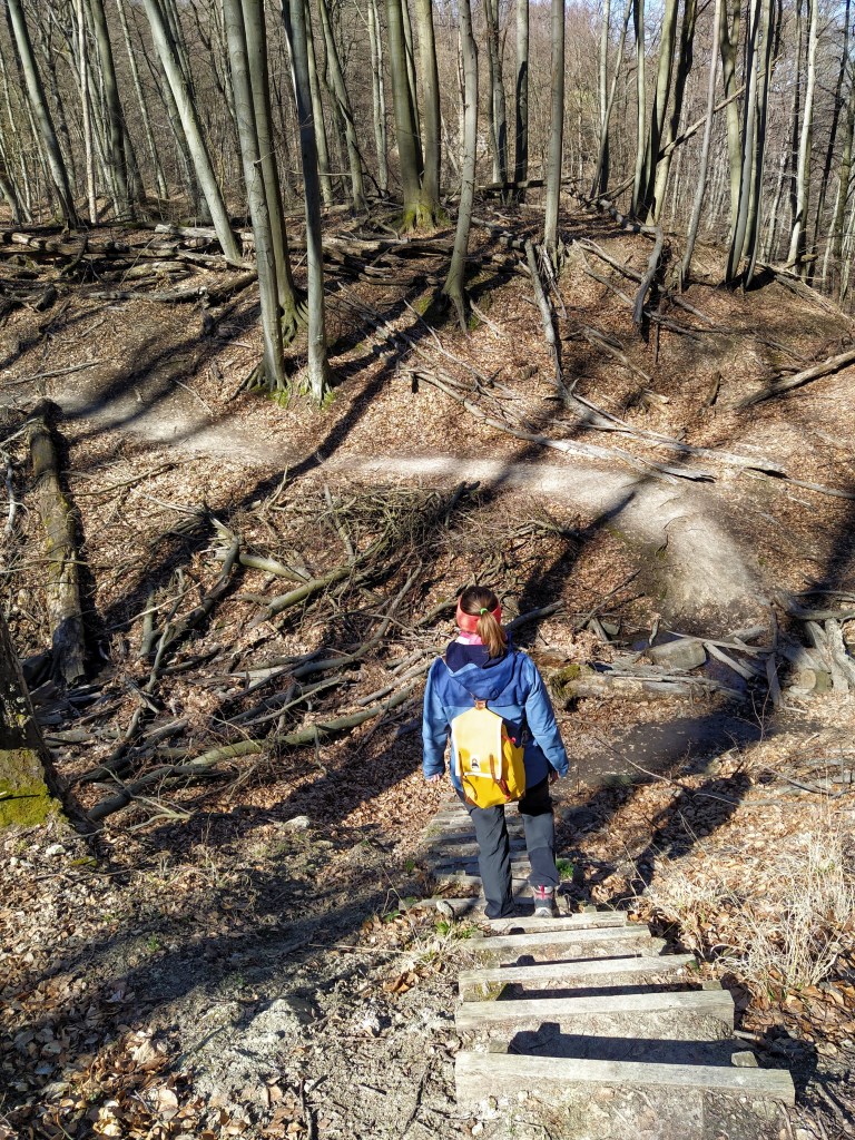
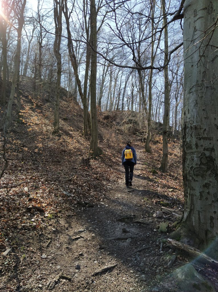
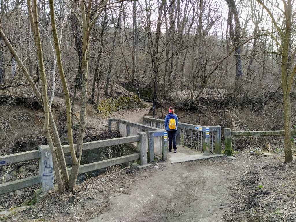
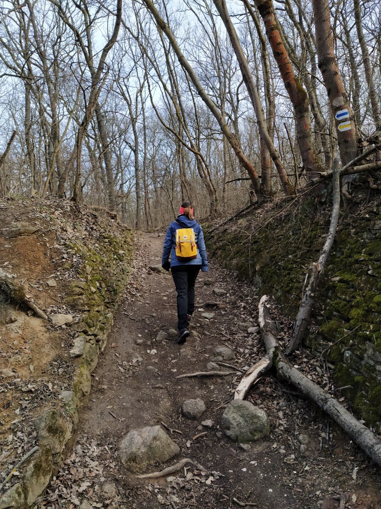
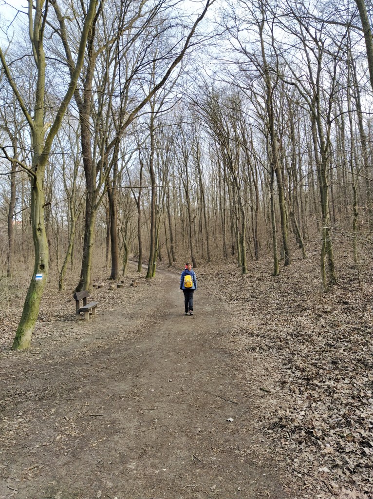
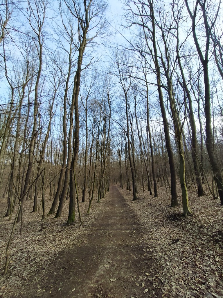
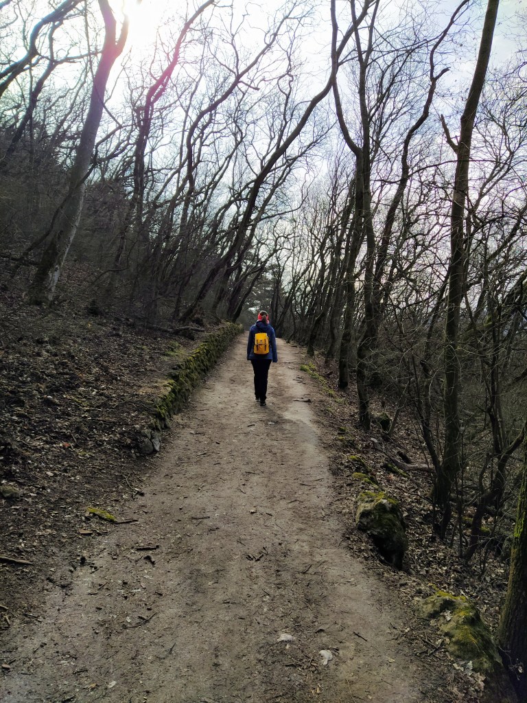
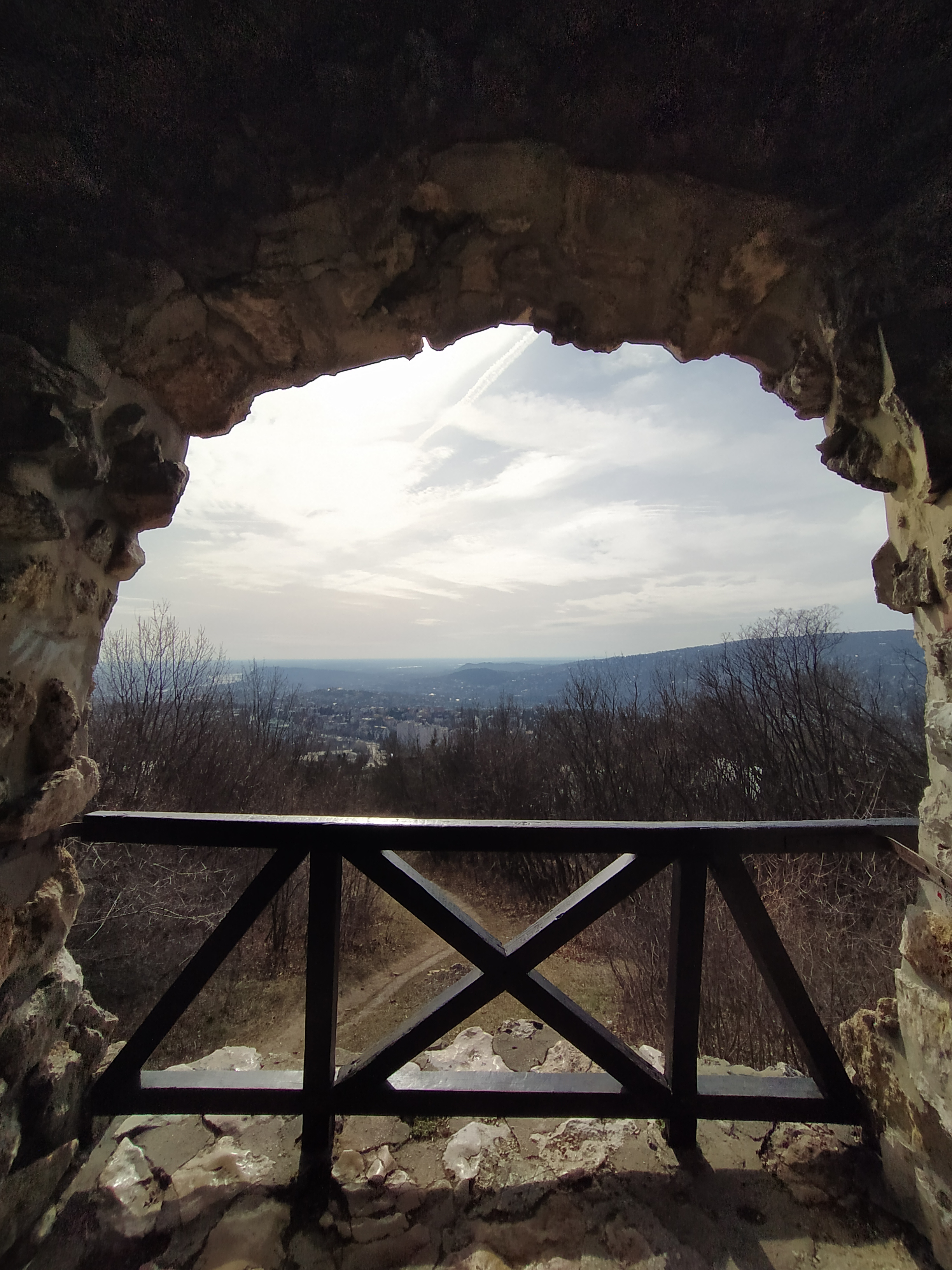
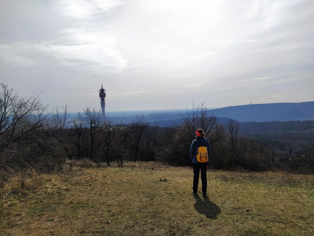
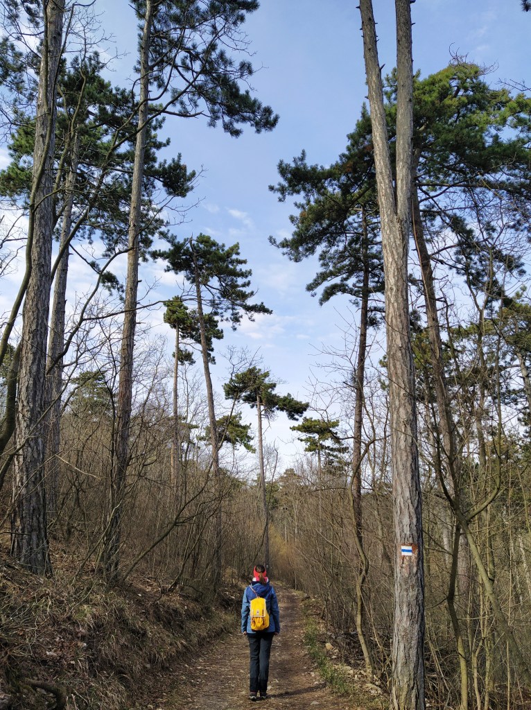
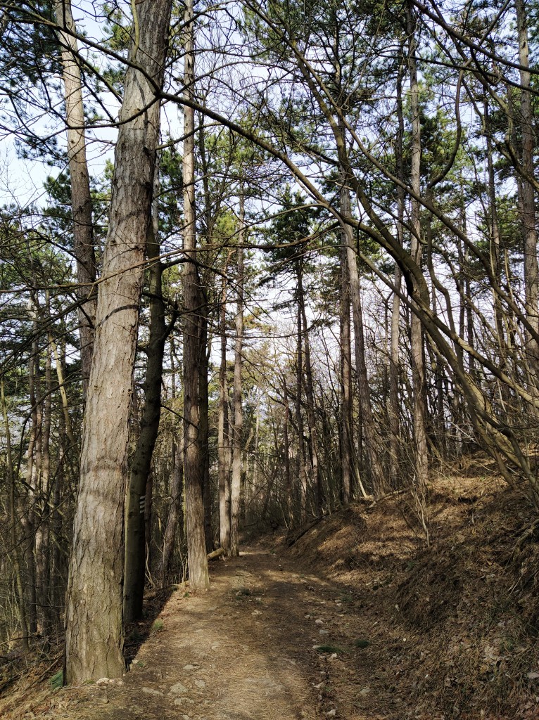
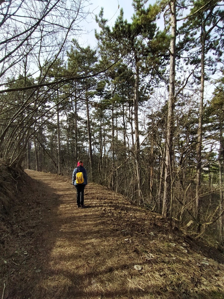
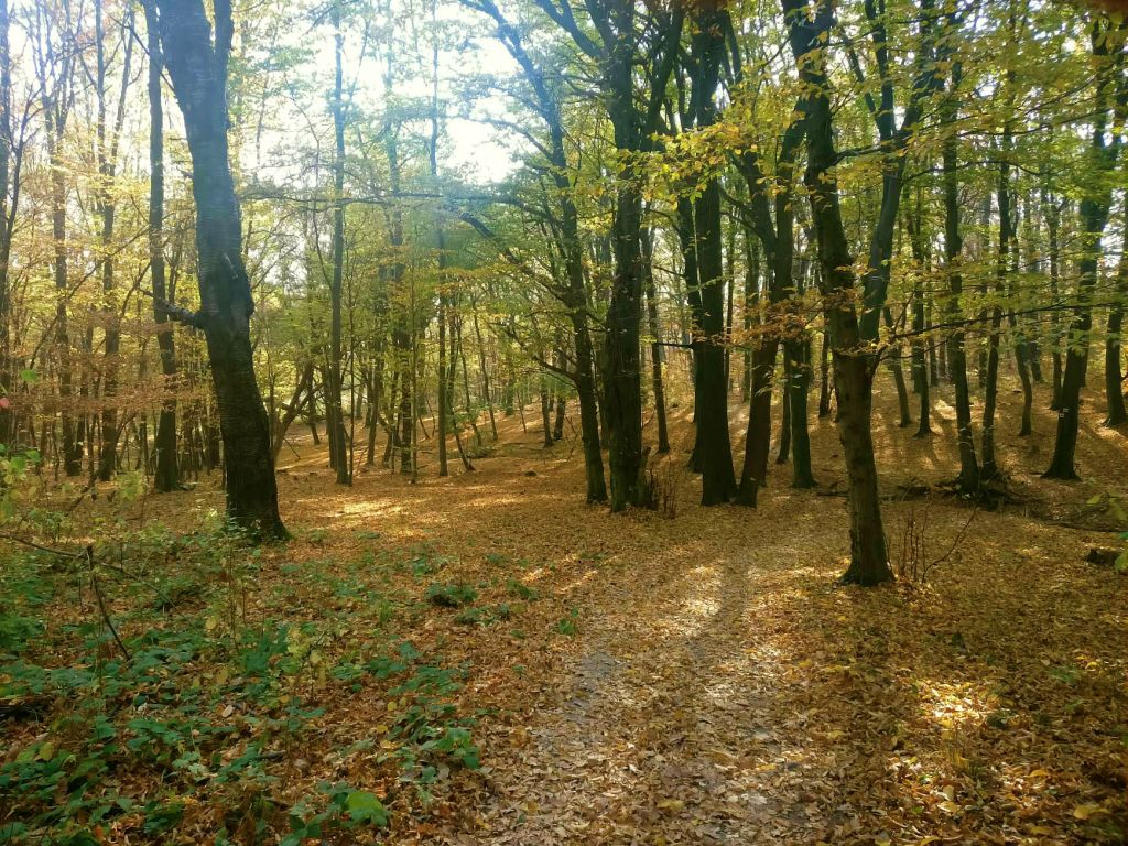
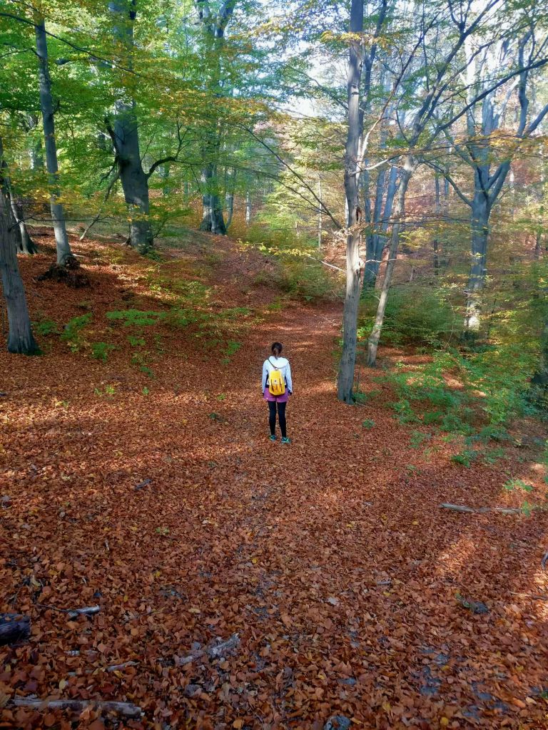
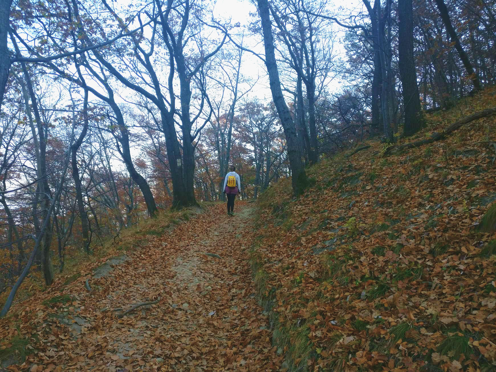
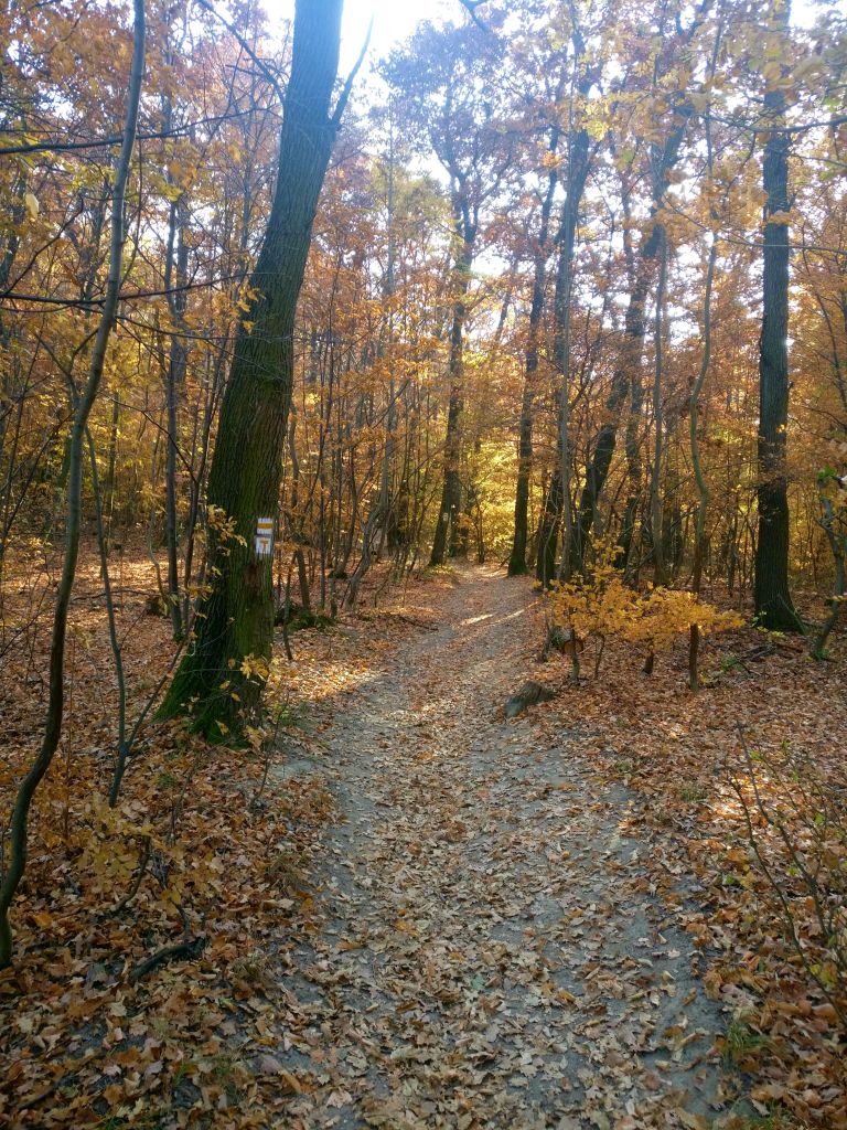
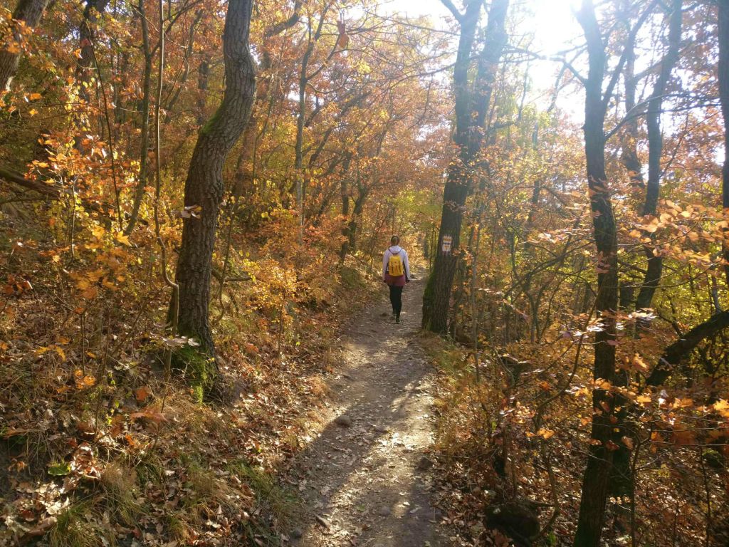
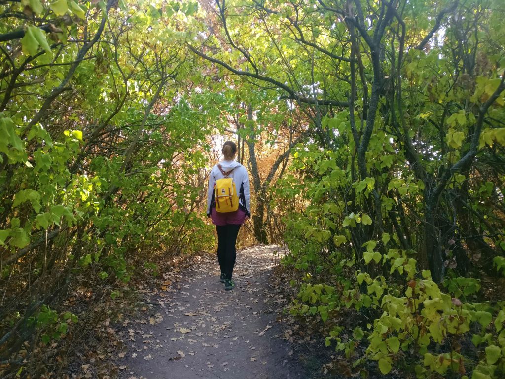
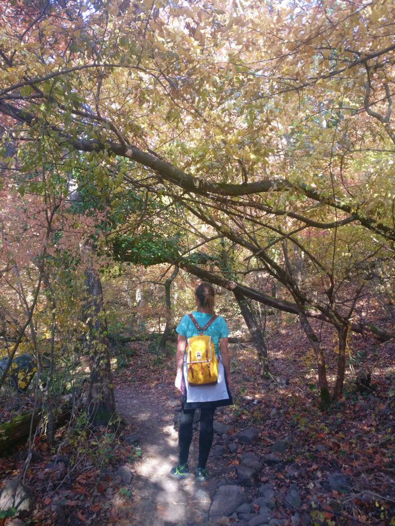
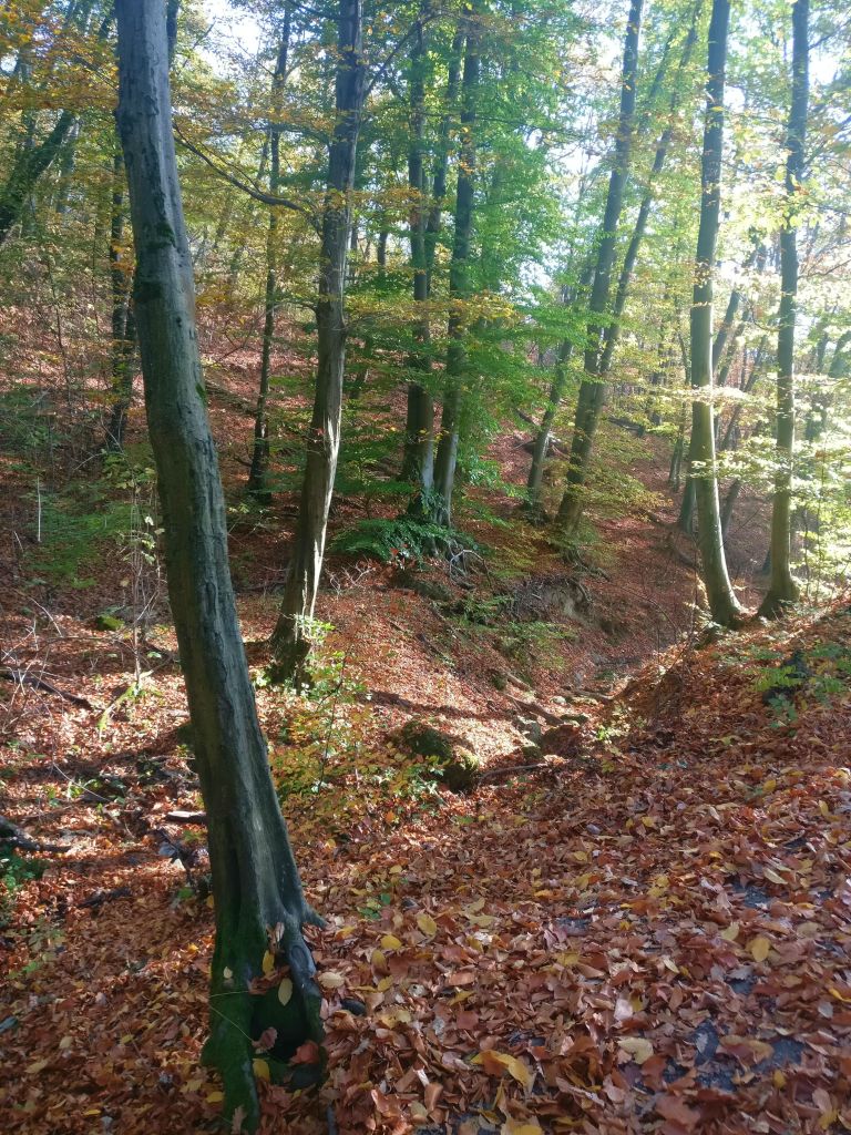
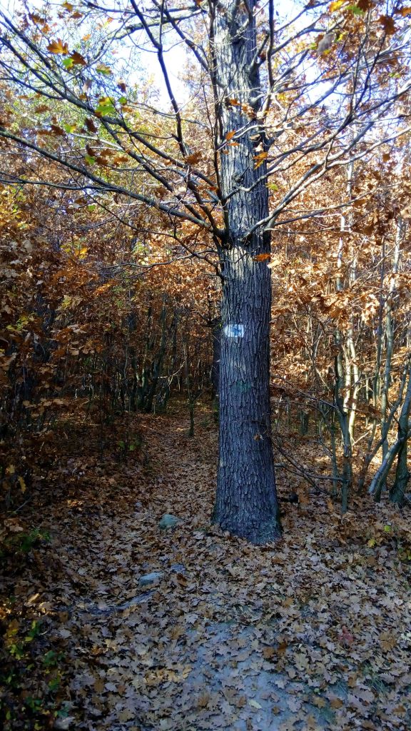
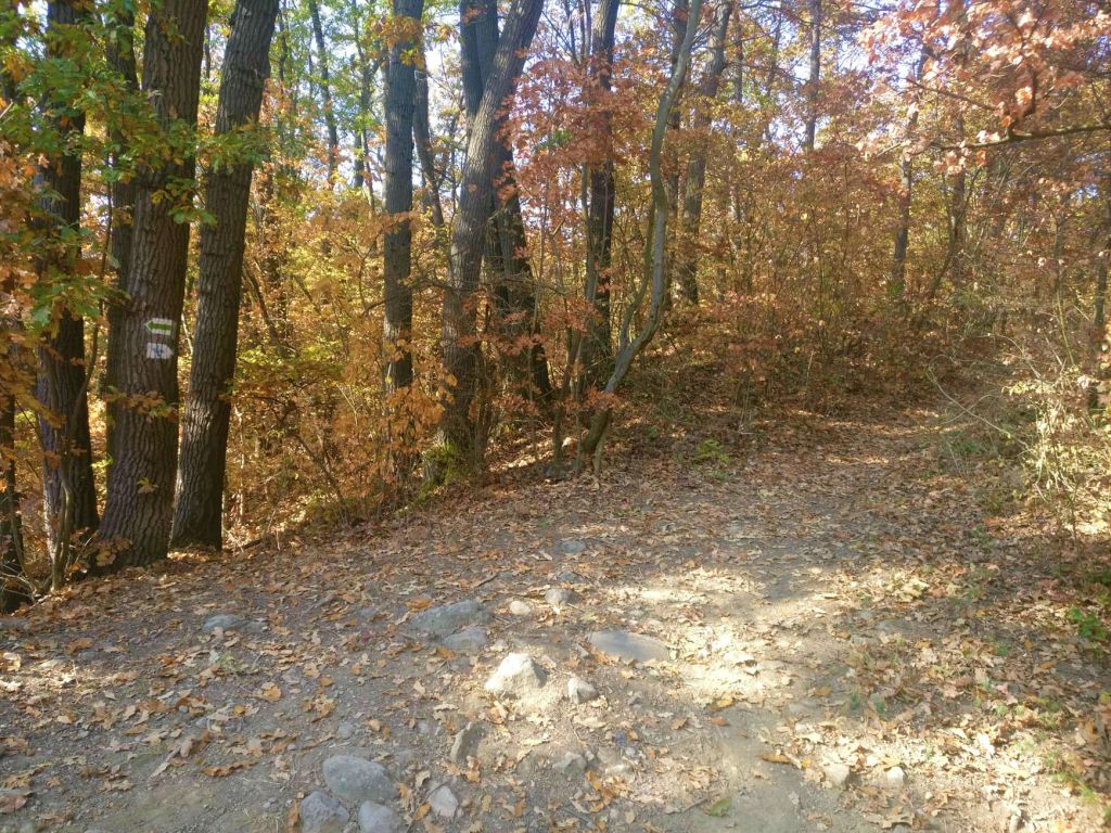
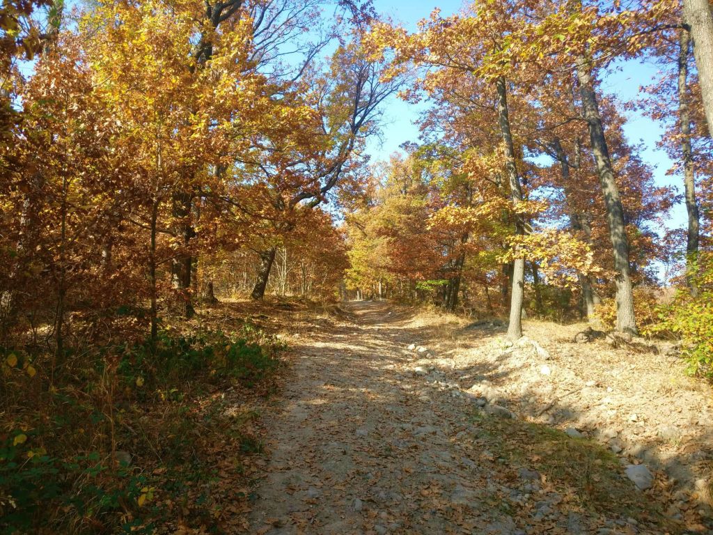
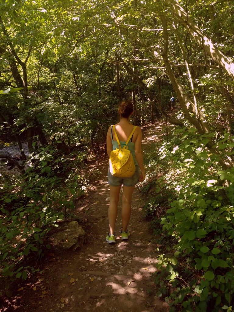
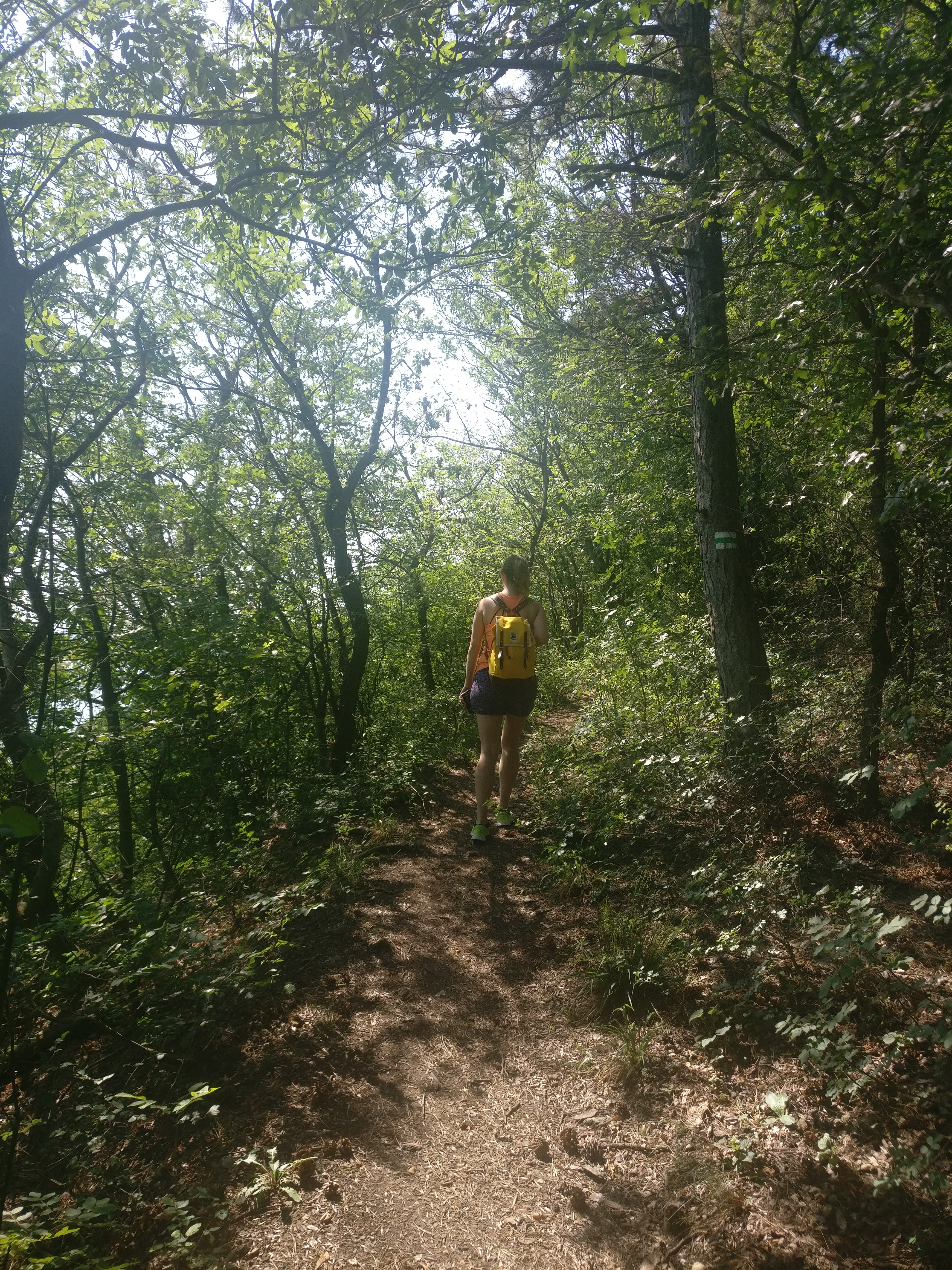
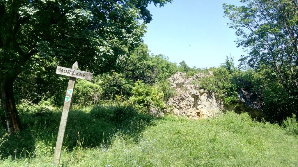
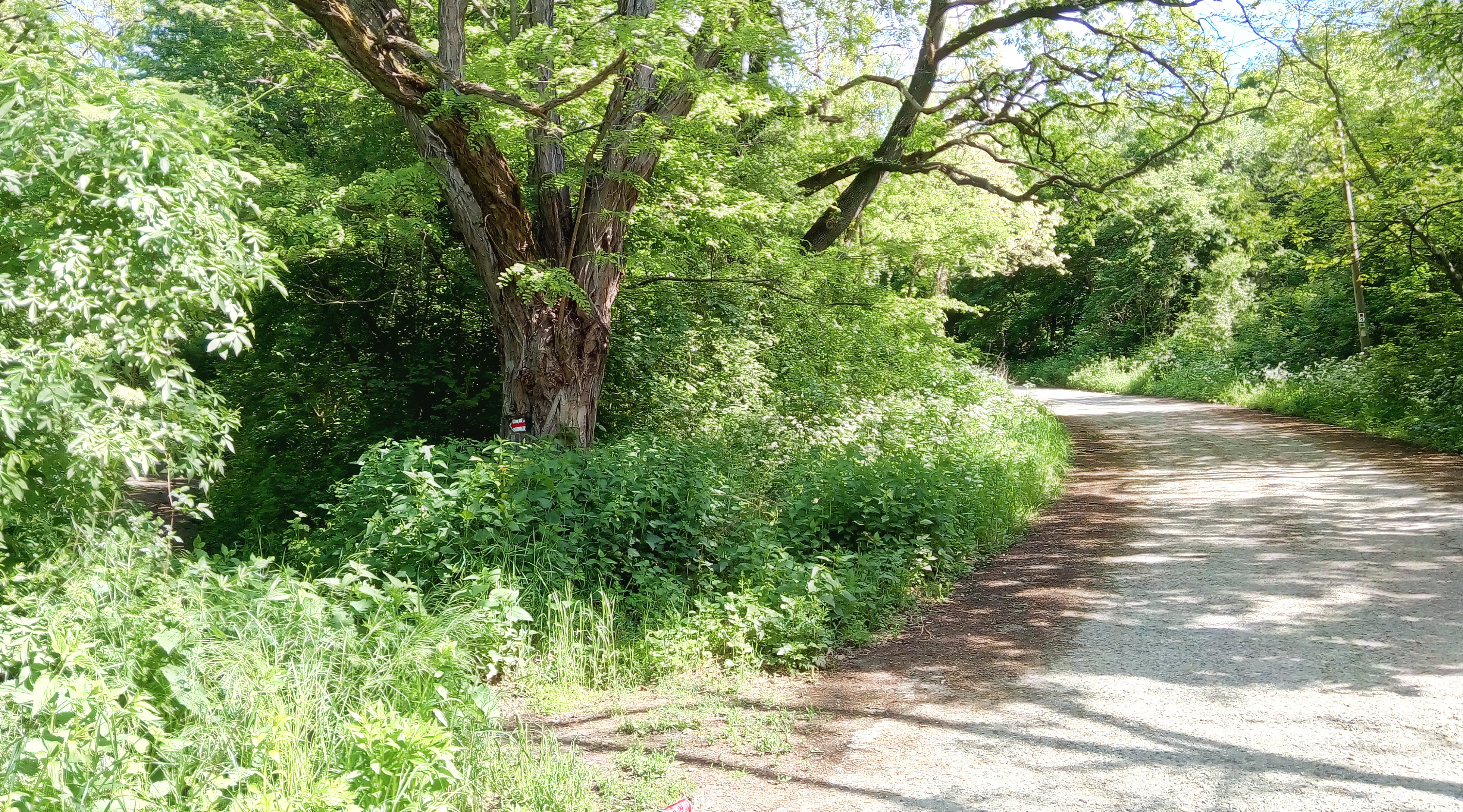
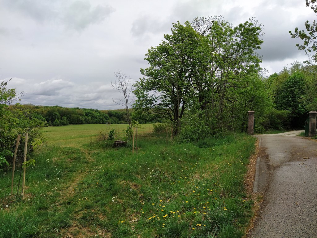
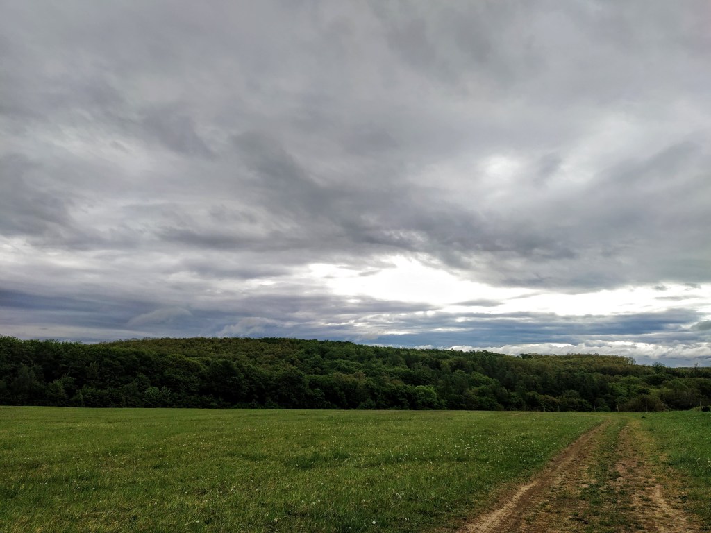
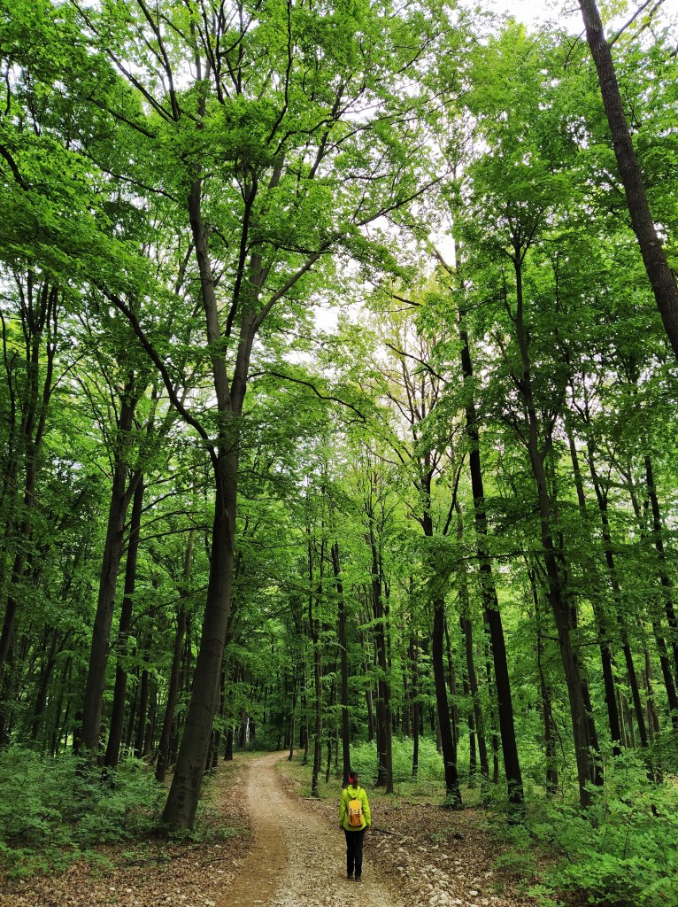
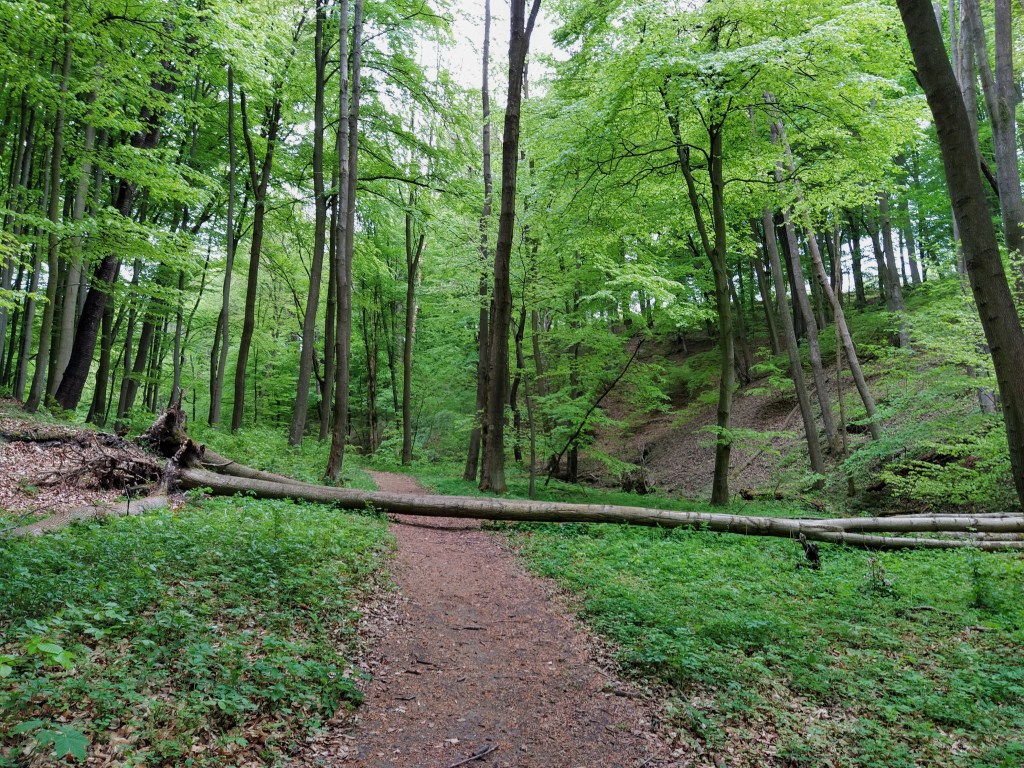
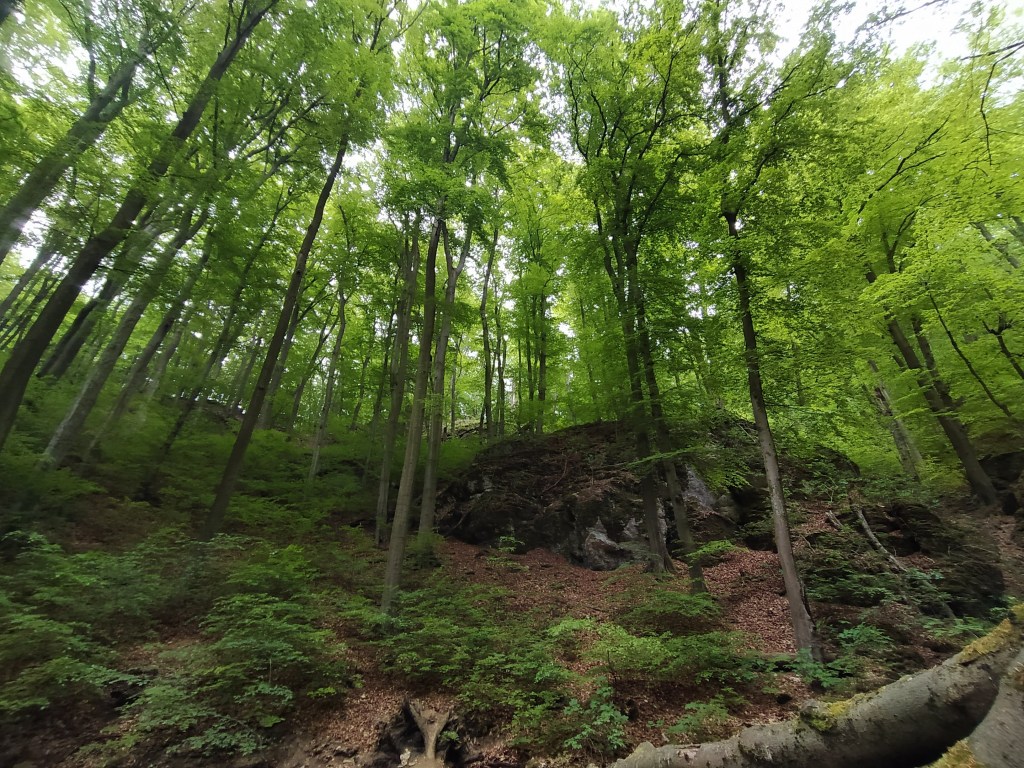
We started out from a small car park just outside of Csesznek (a town known for its castle) by following the red cross sign, and left behind the concrete road just before the gate leading to a manor. We walked through the fields, passed a few happily grazing horses and plunged into the wood on a wider track, obviously used by wood cutters. After having said goodbye to the red cross sign at a little clearing, we continued on the green trail that slowly led us among tall trees.

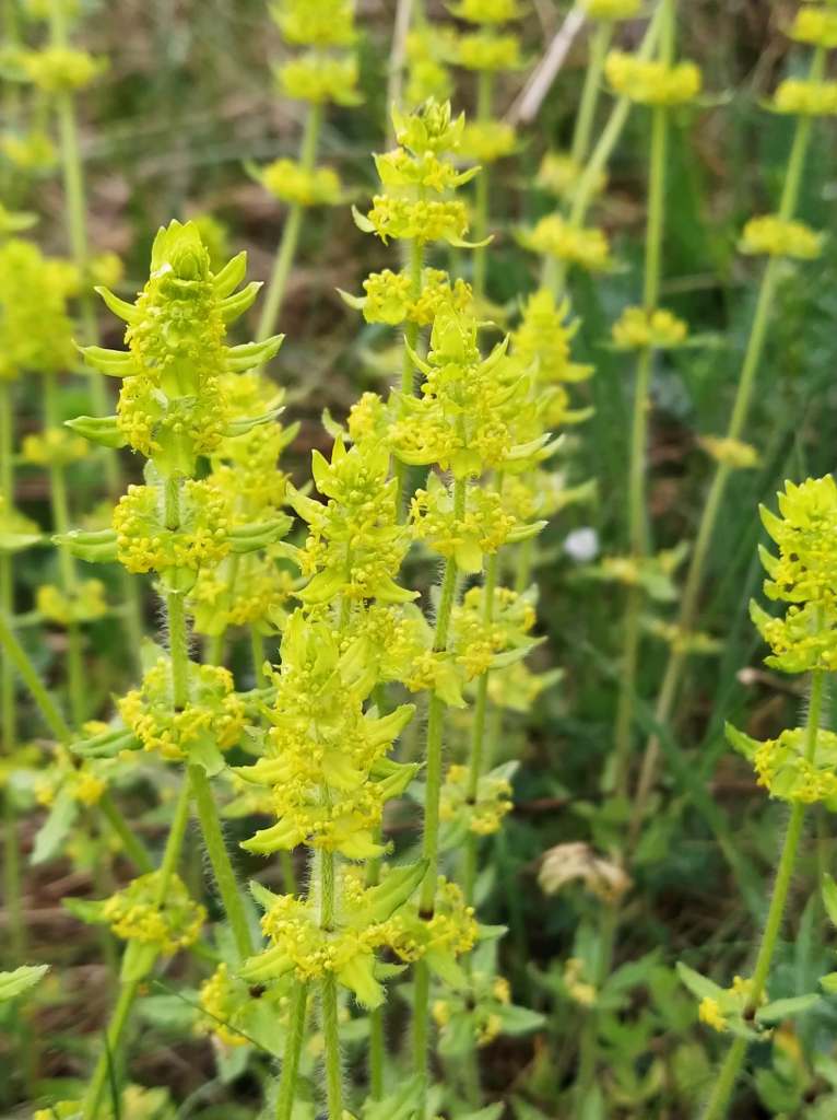
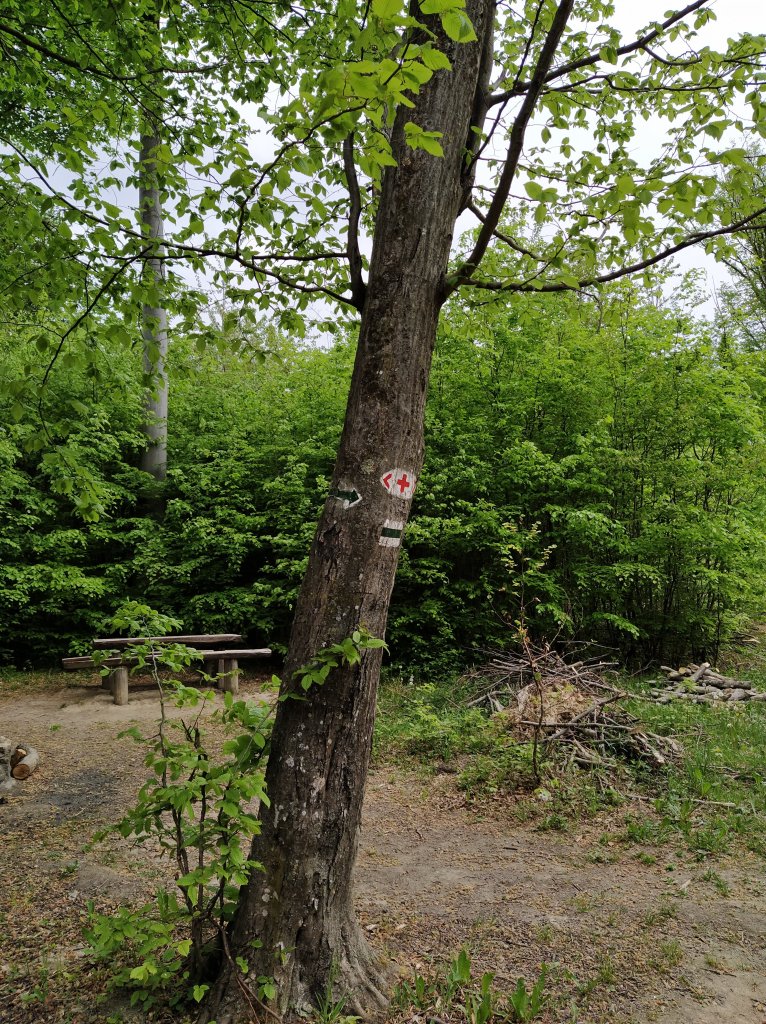
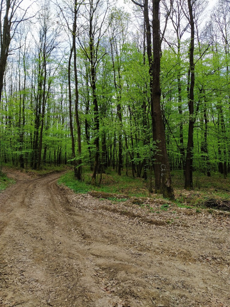
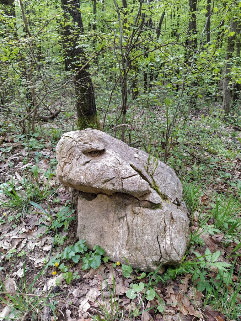
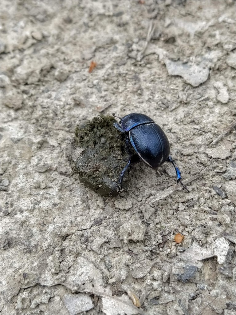
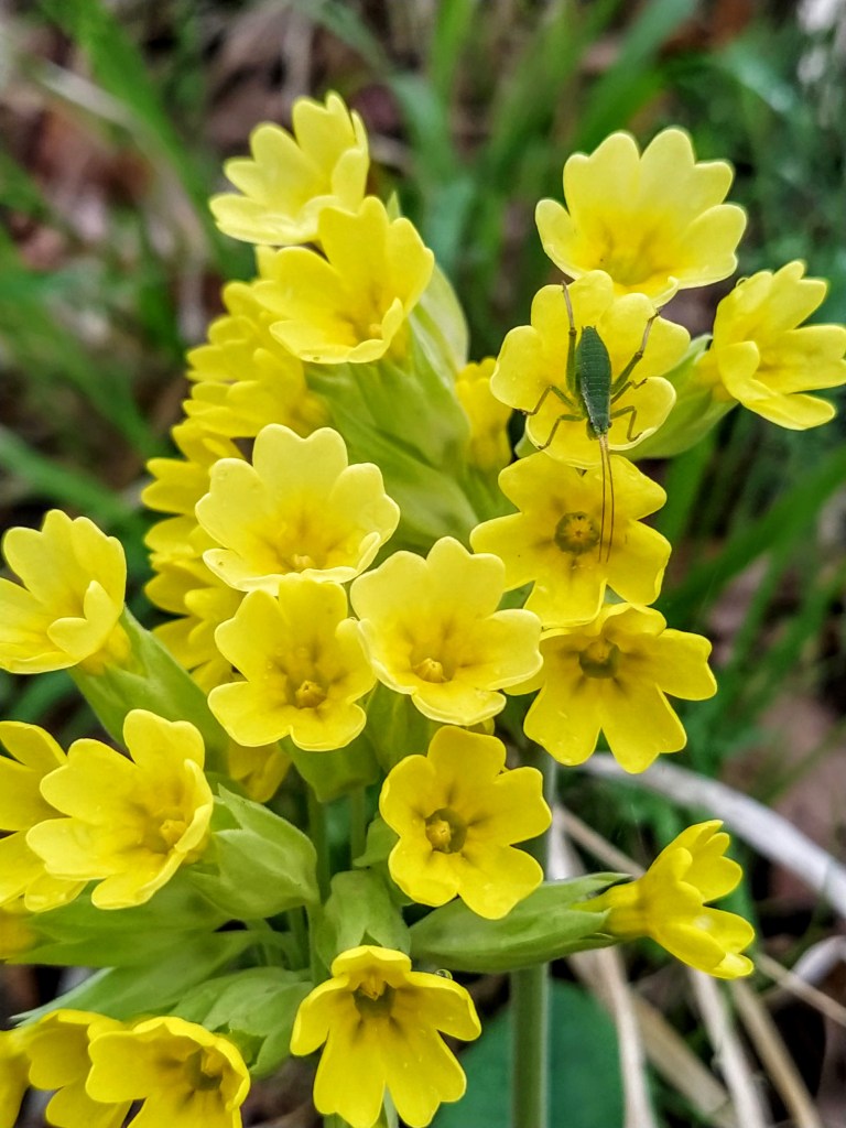
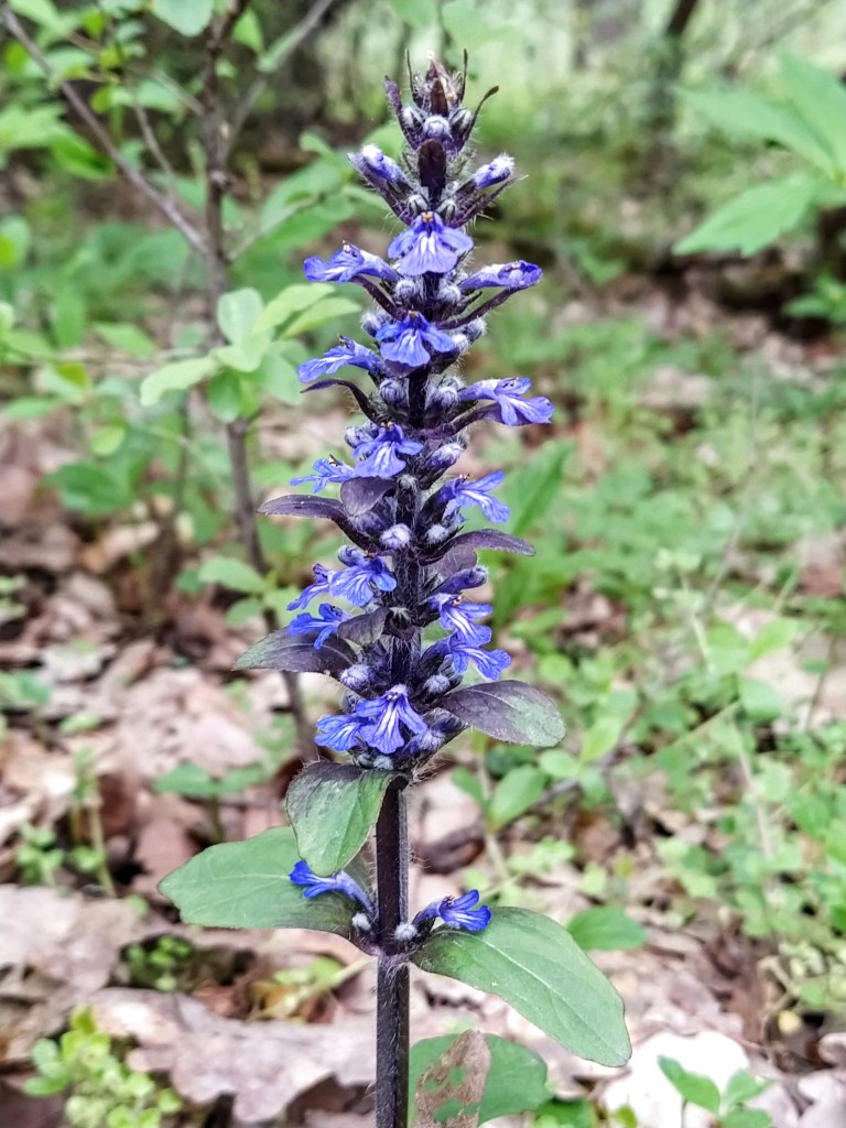
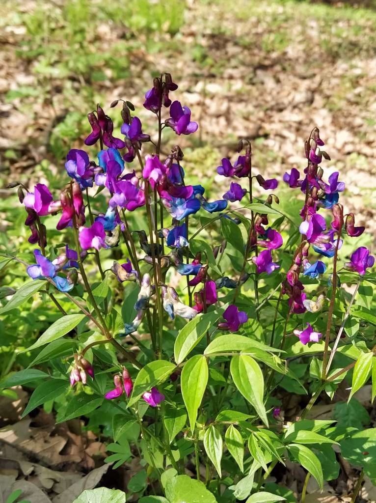
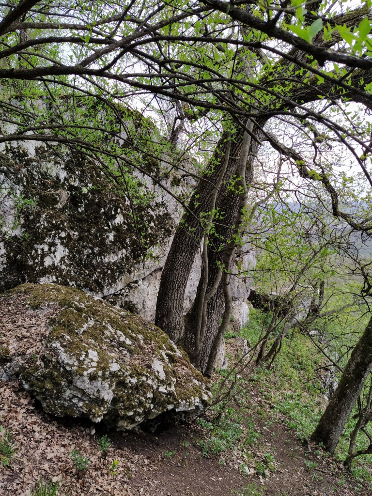
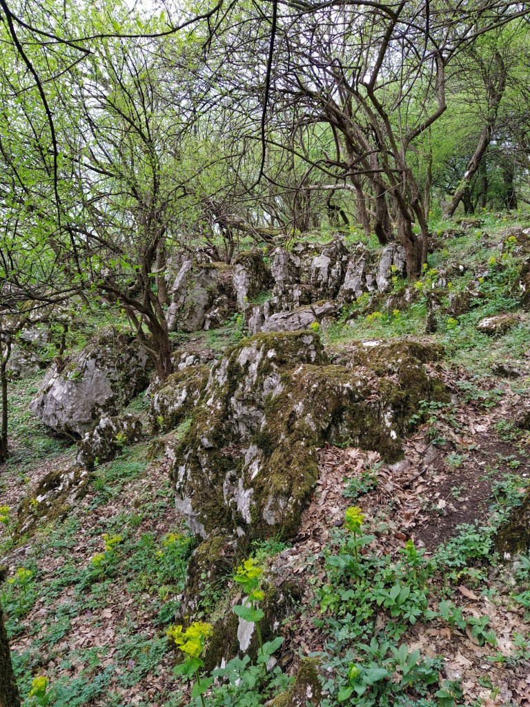
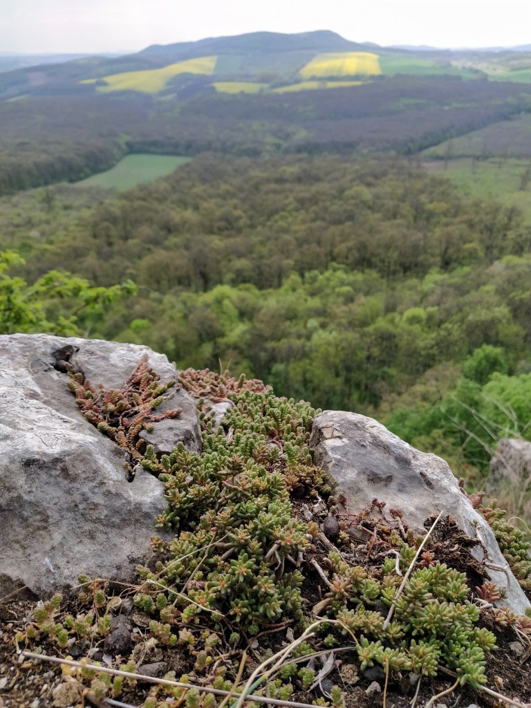
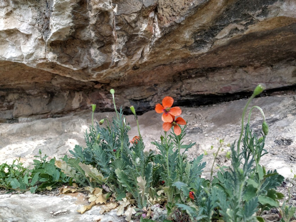
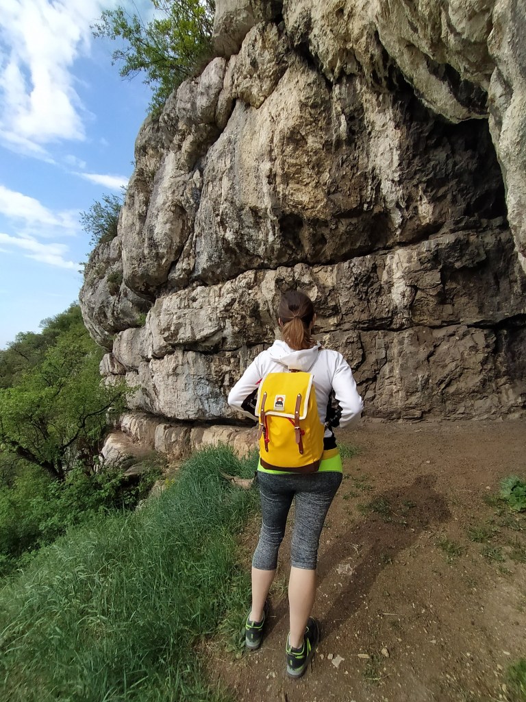
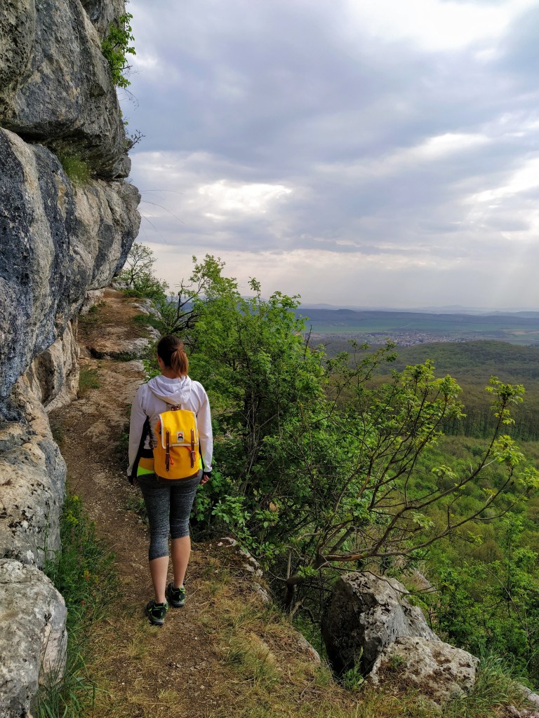
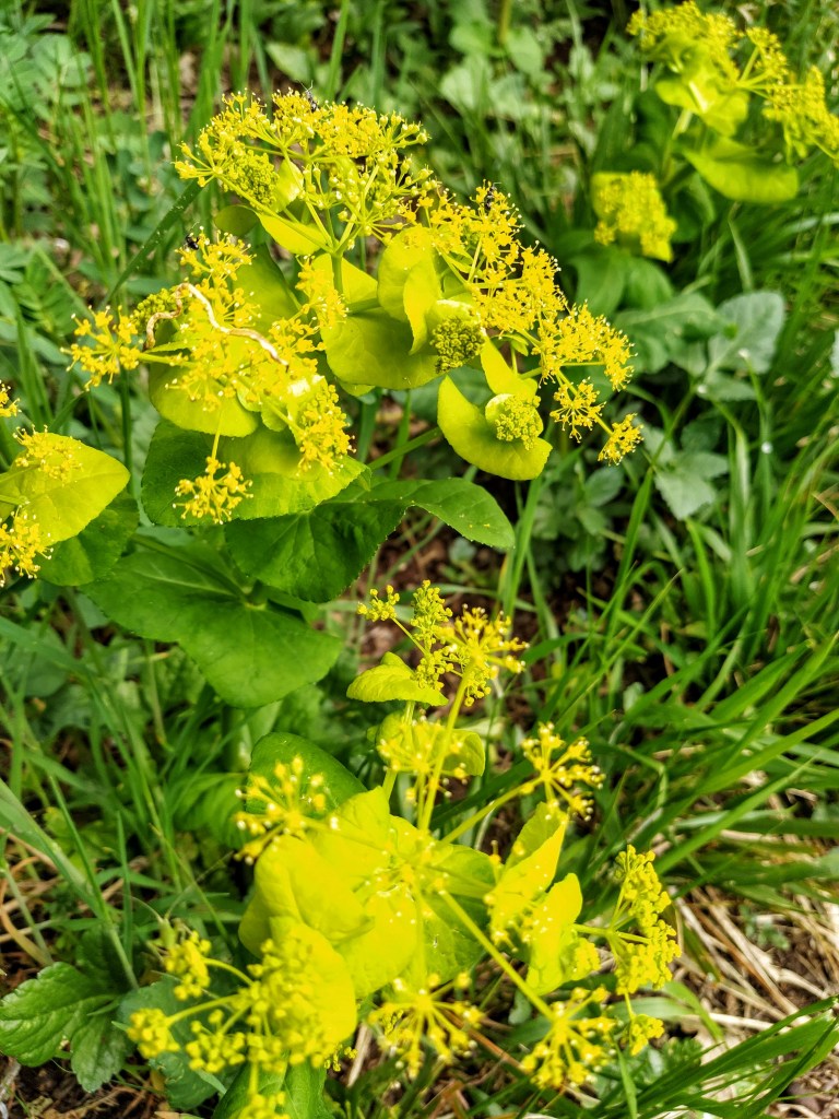
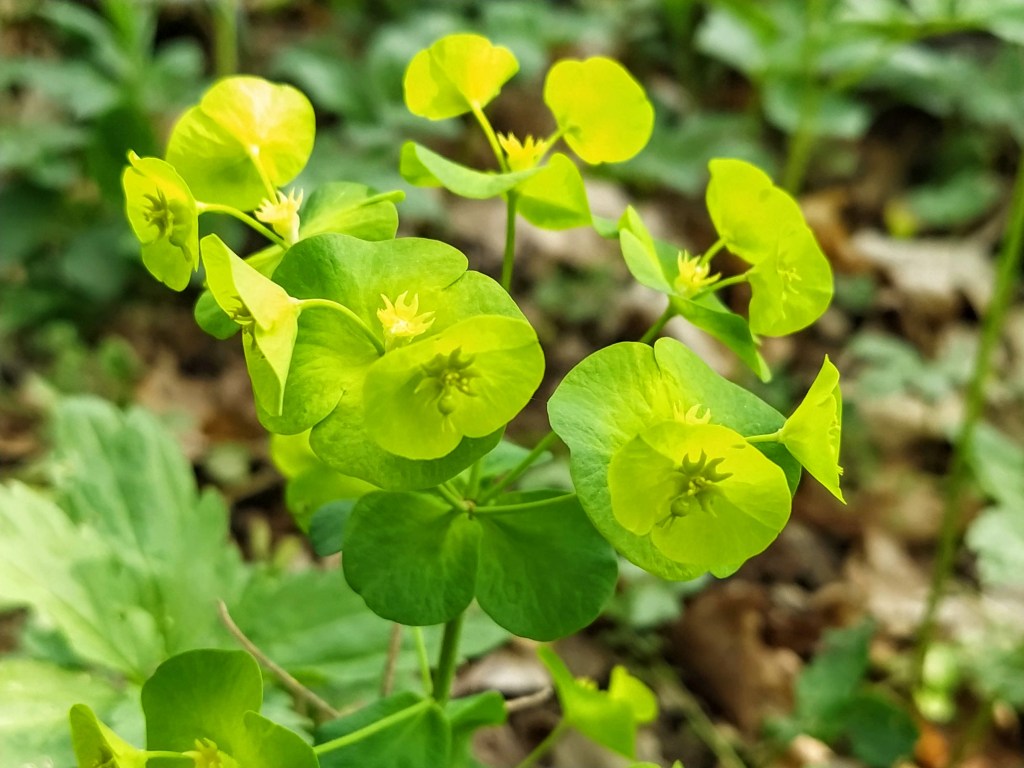
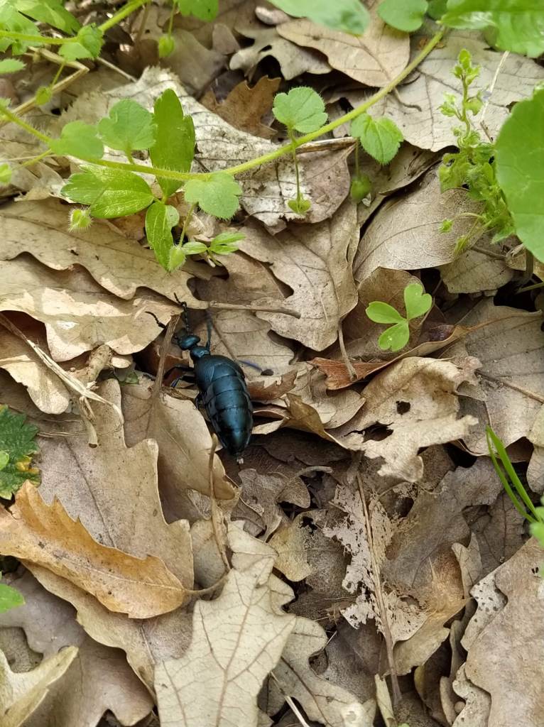
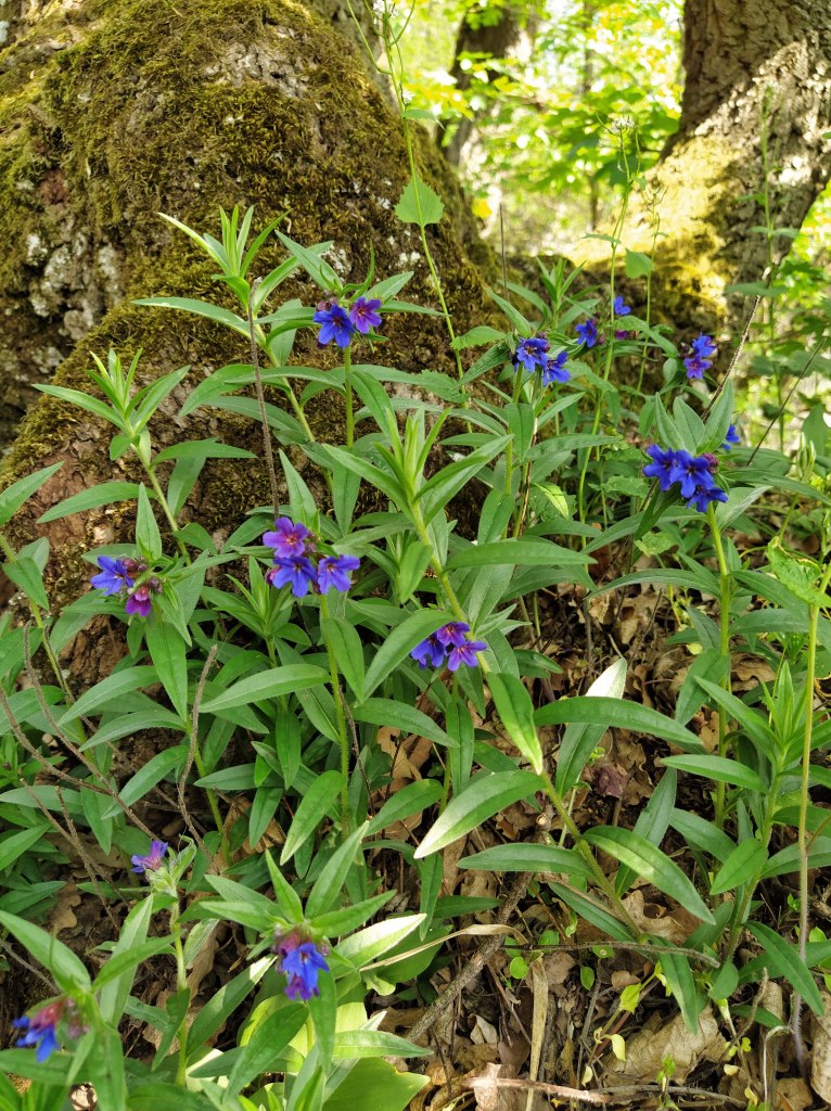
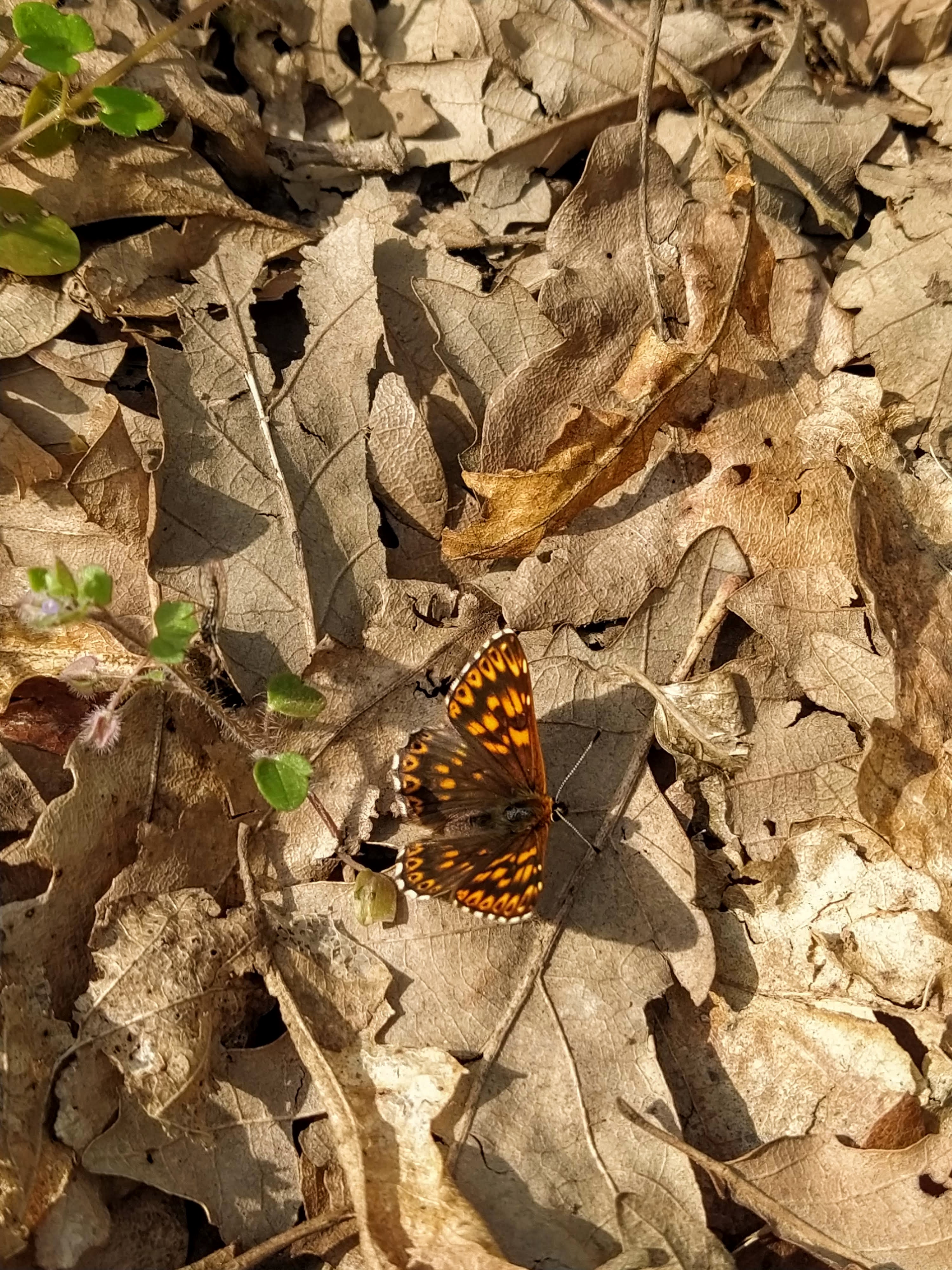
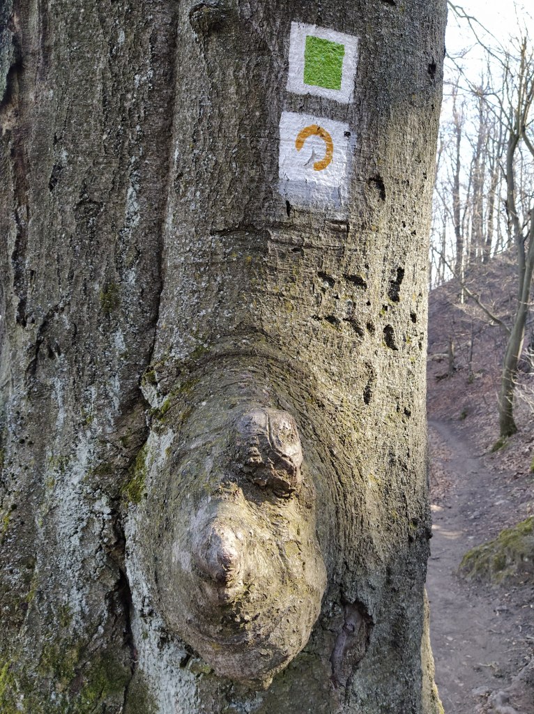
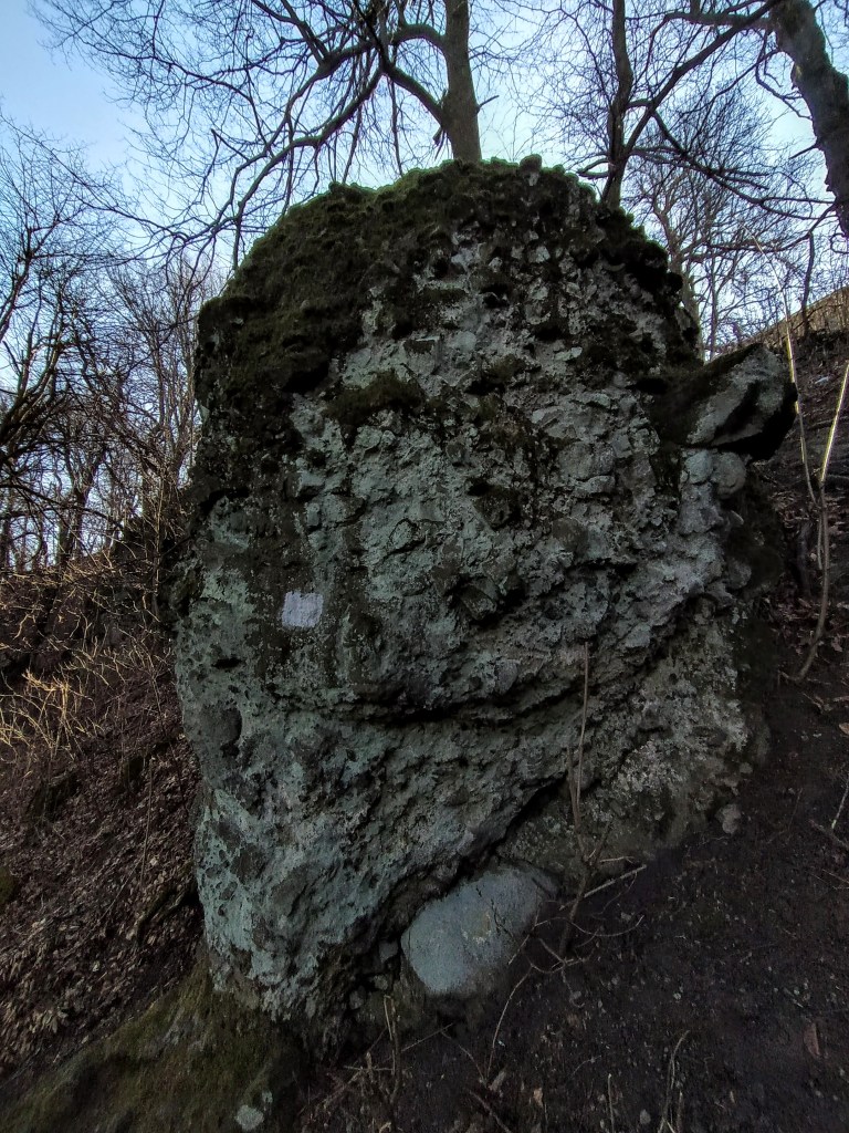
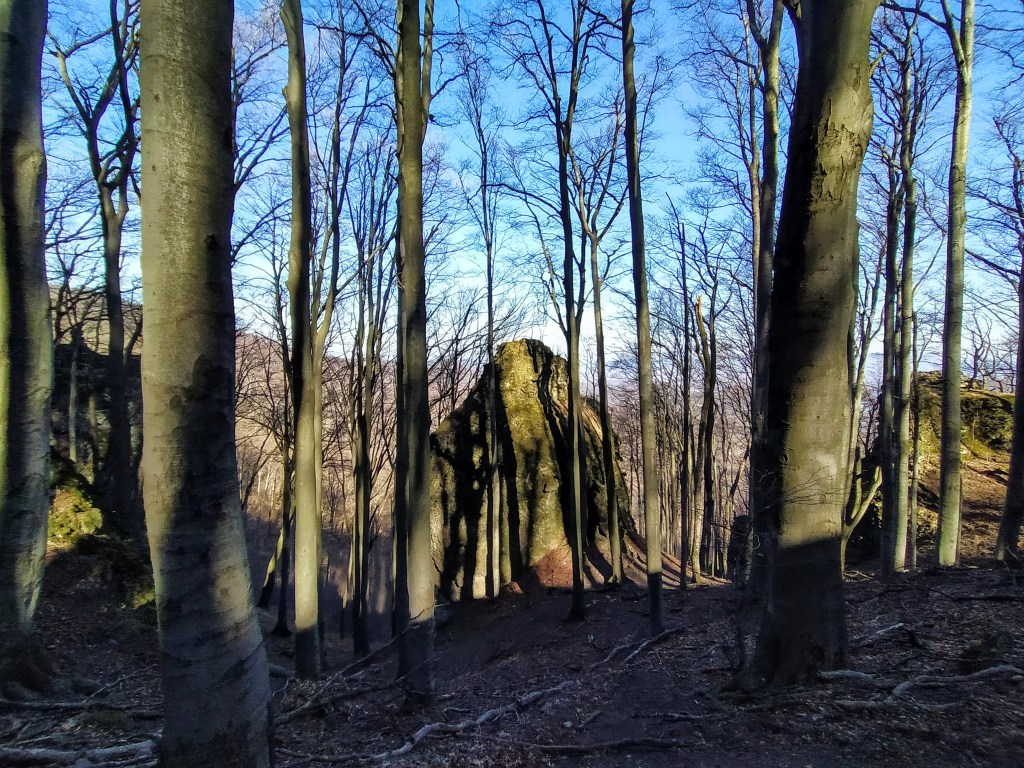
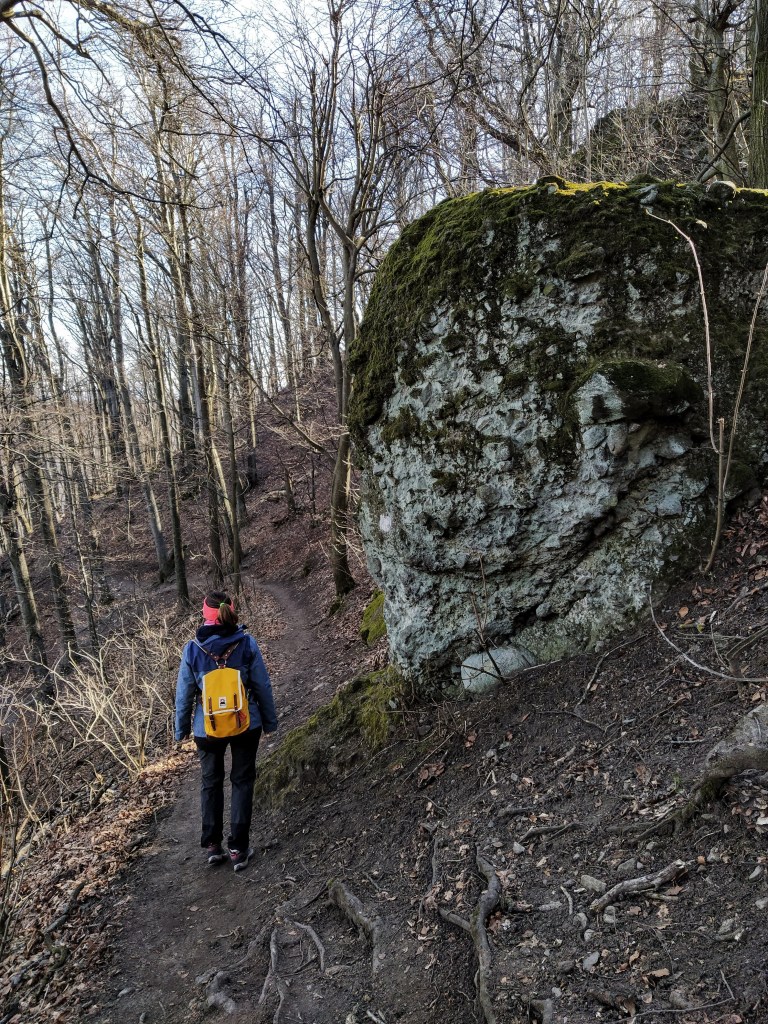
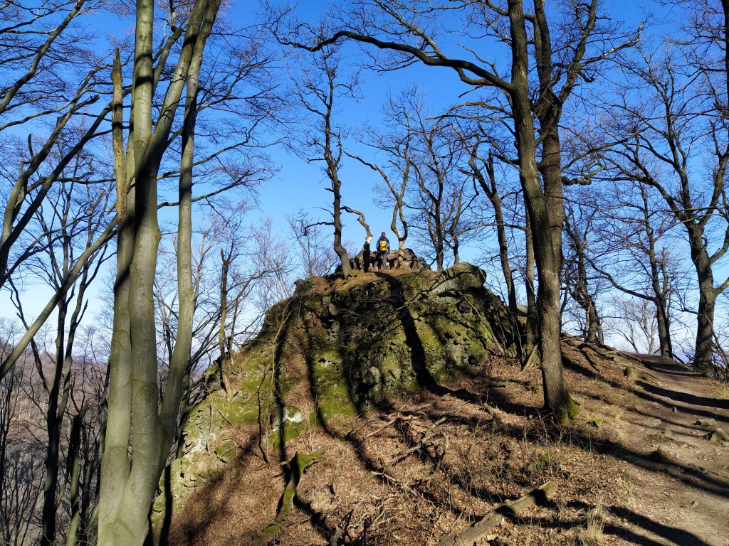
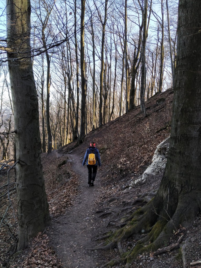
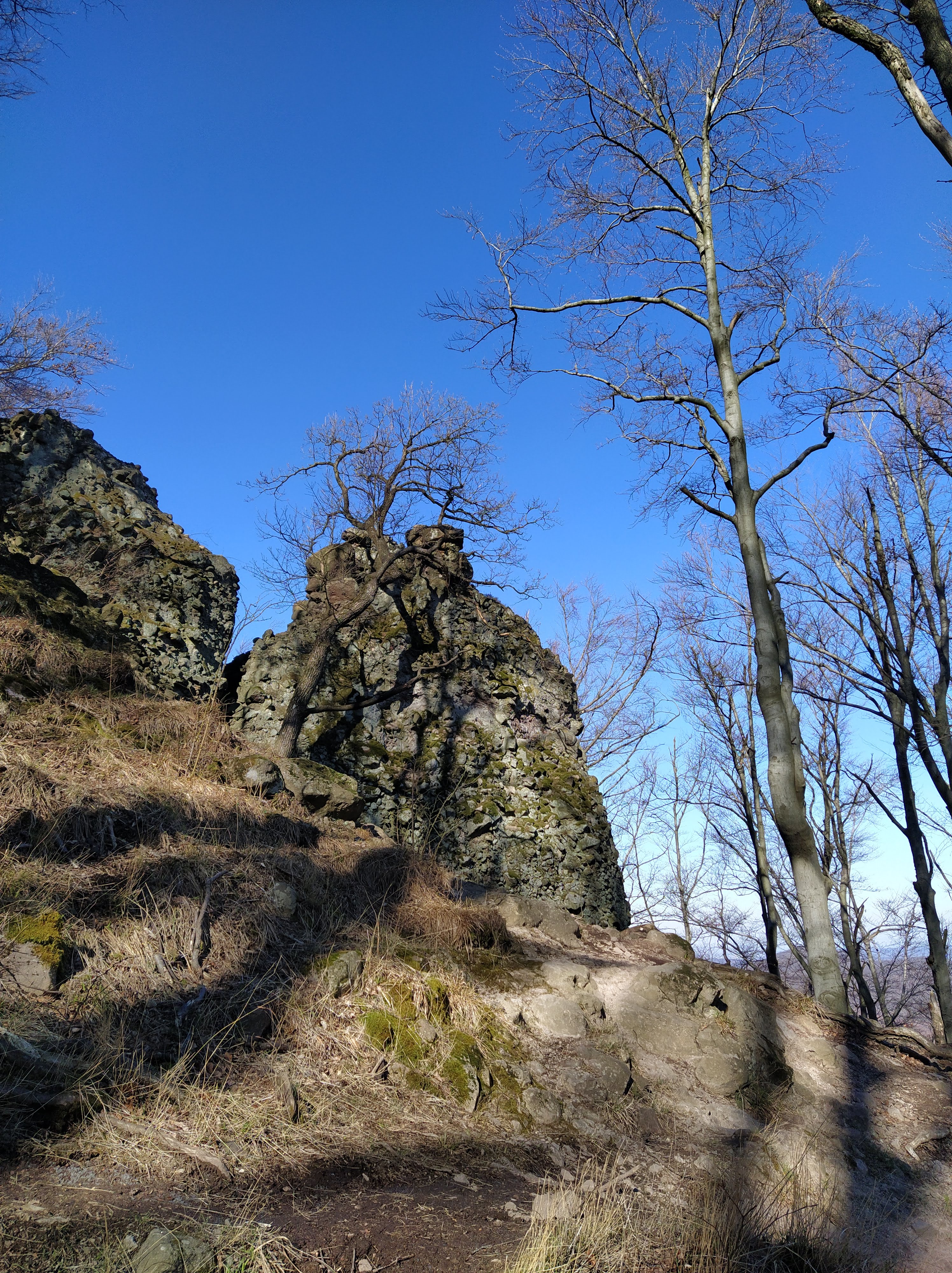
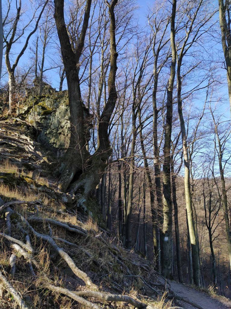
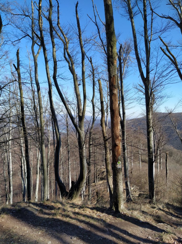
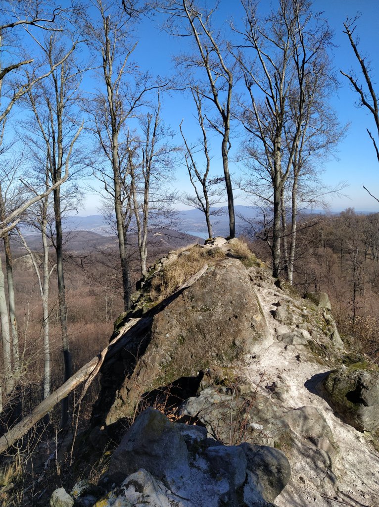
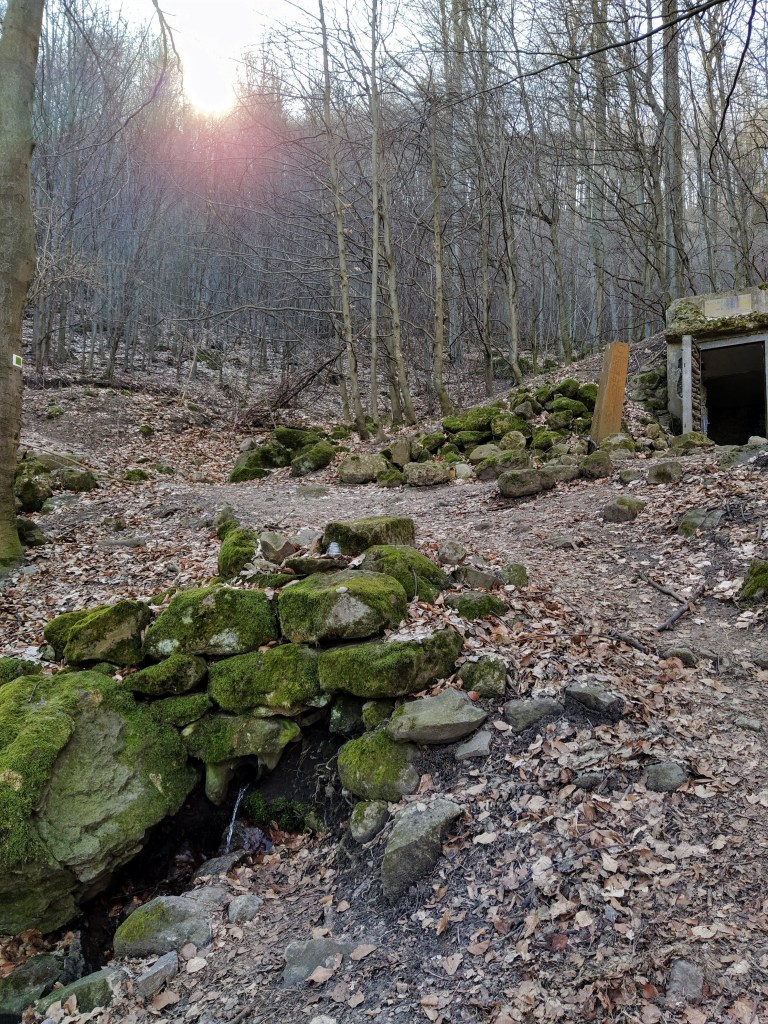
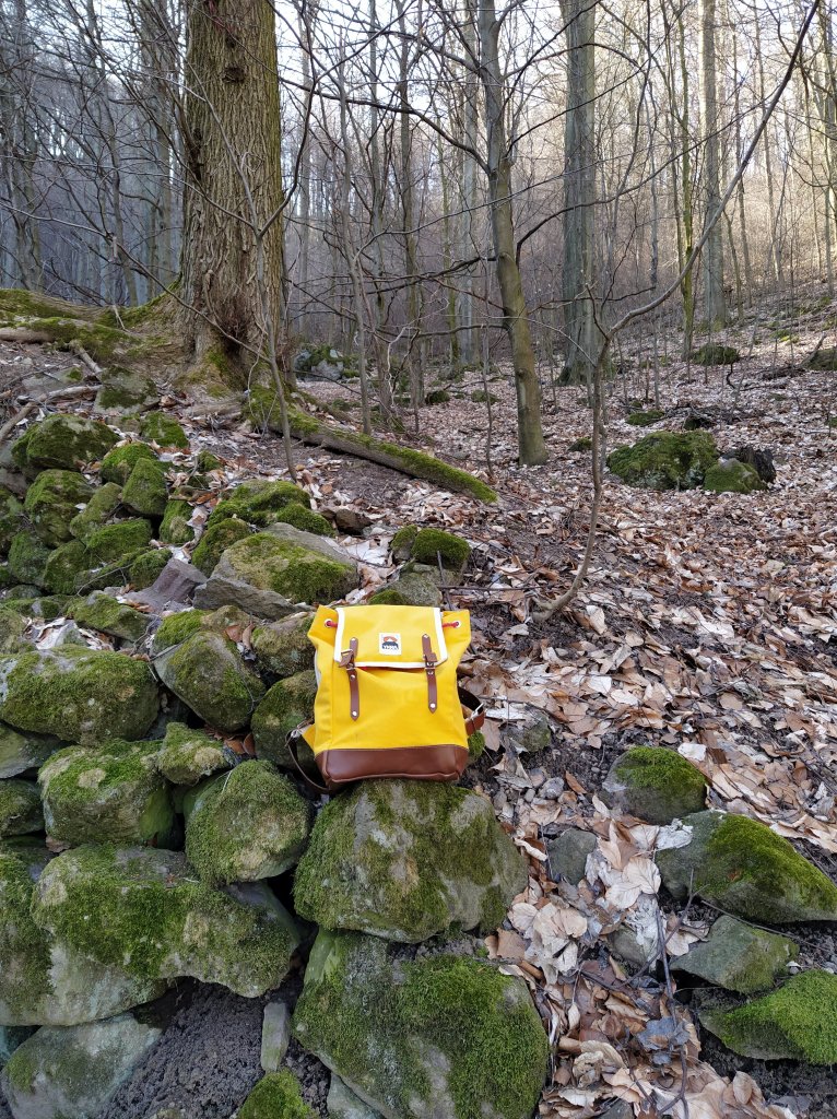
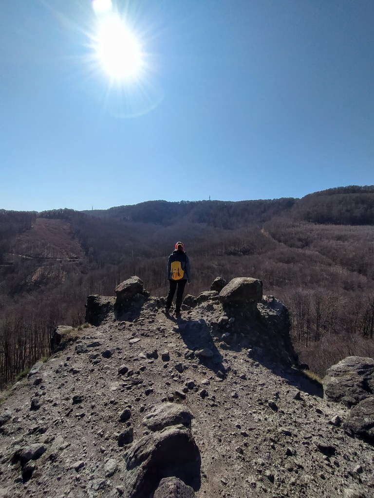
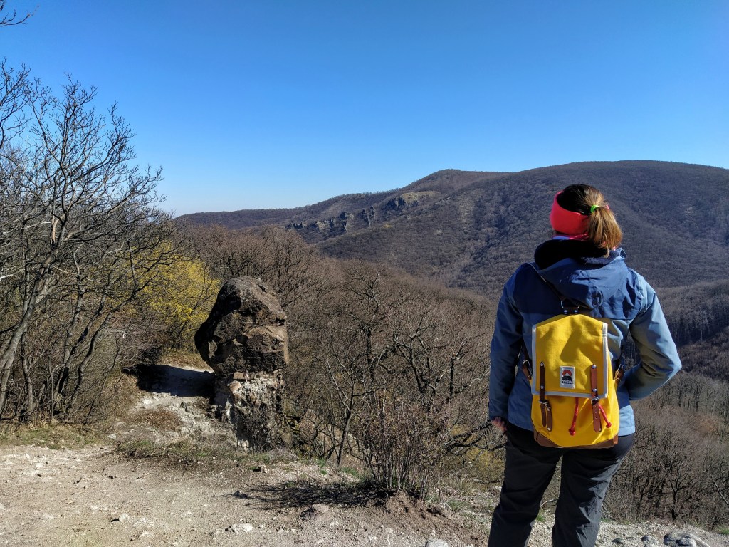
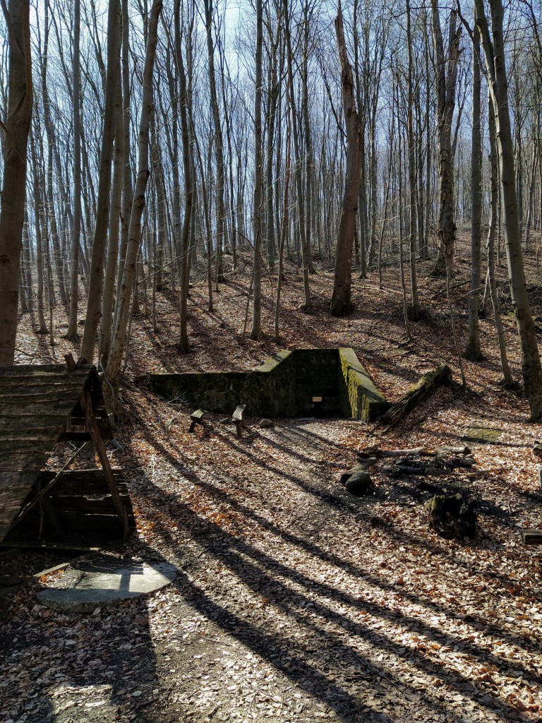
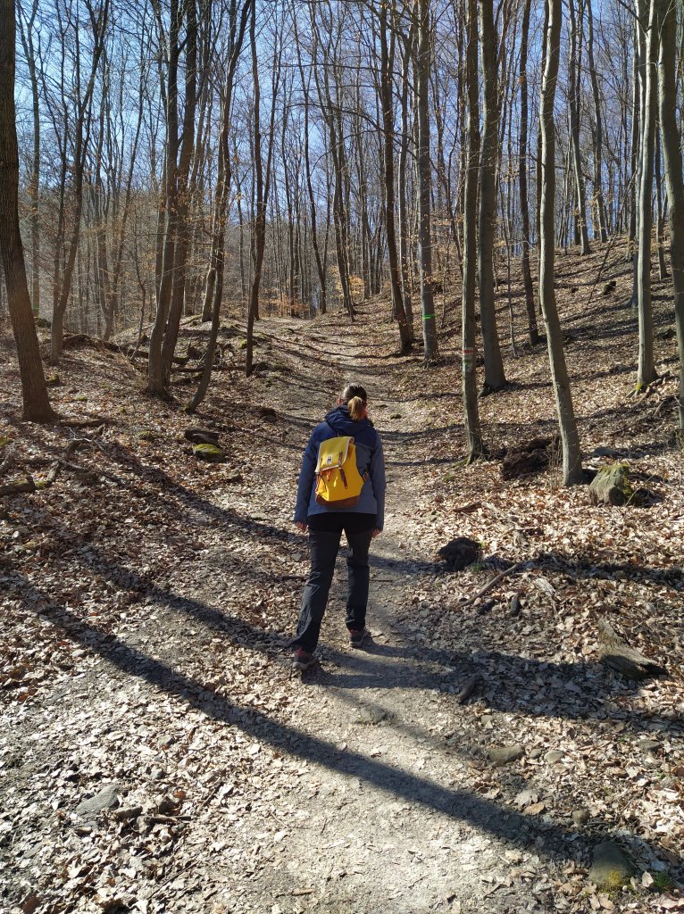
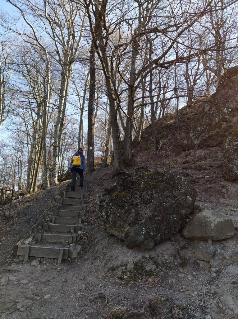
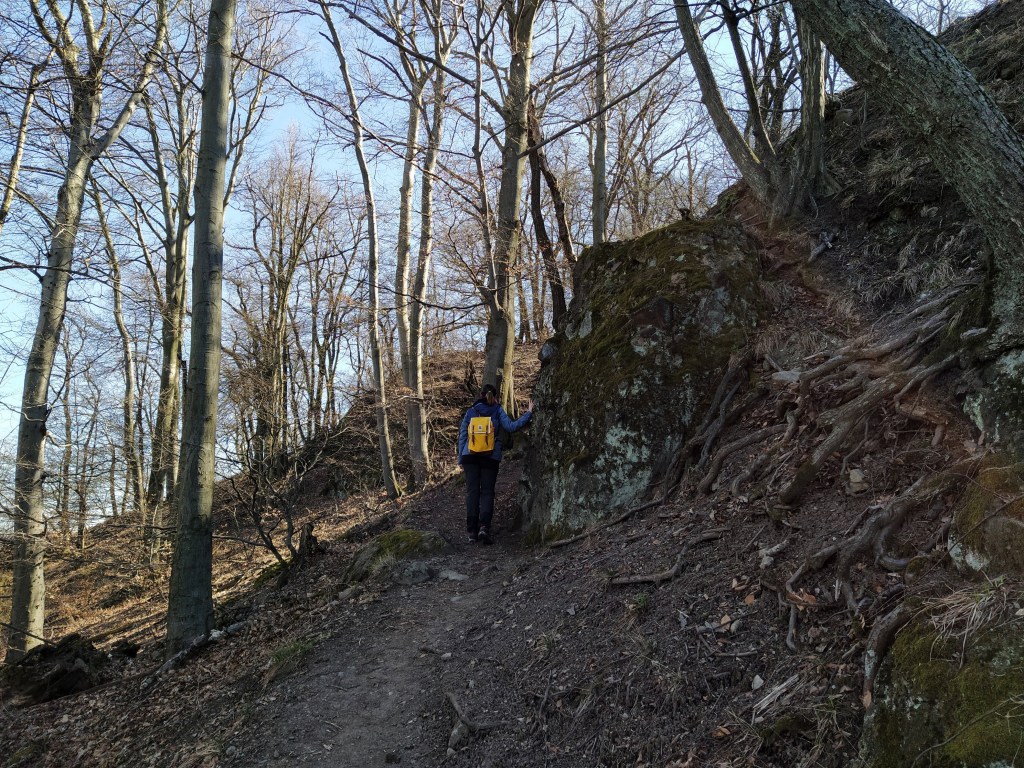
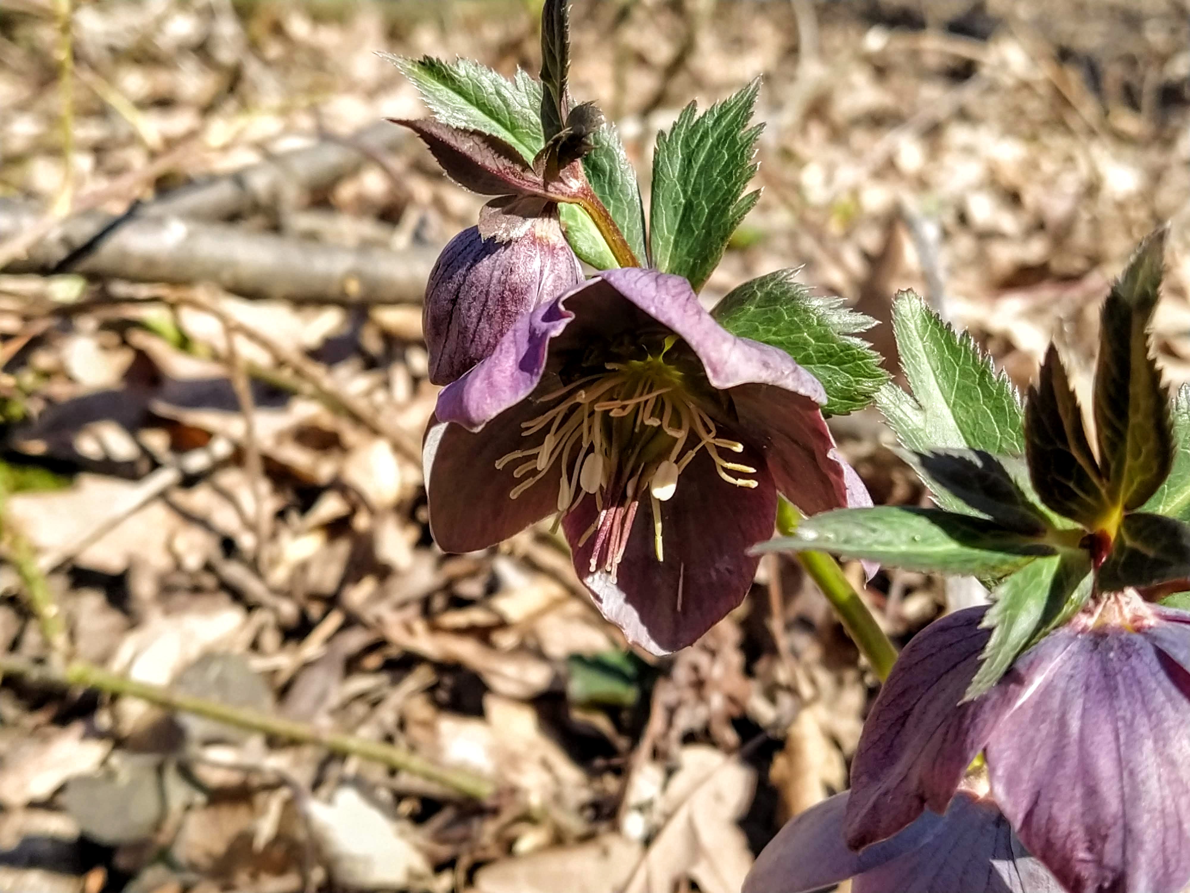
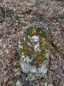
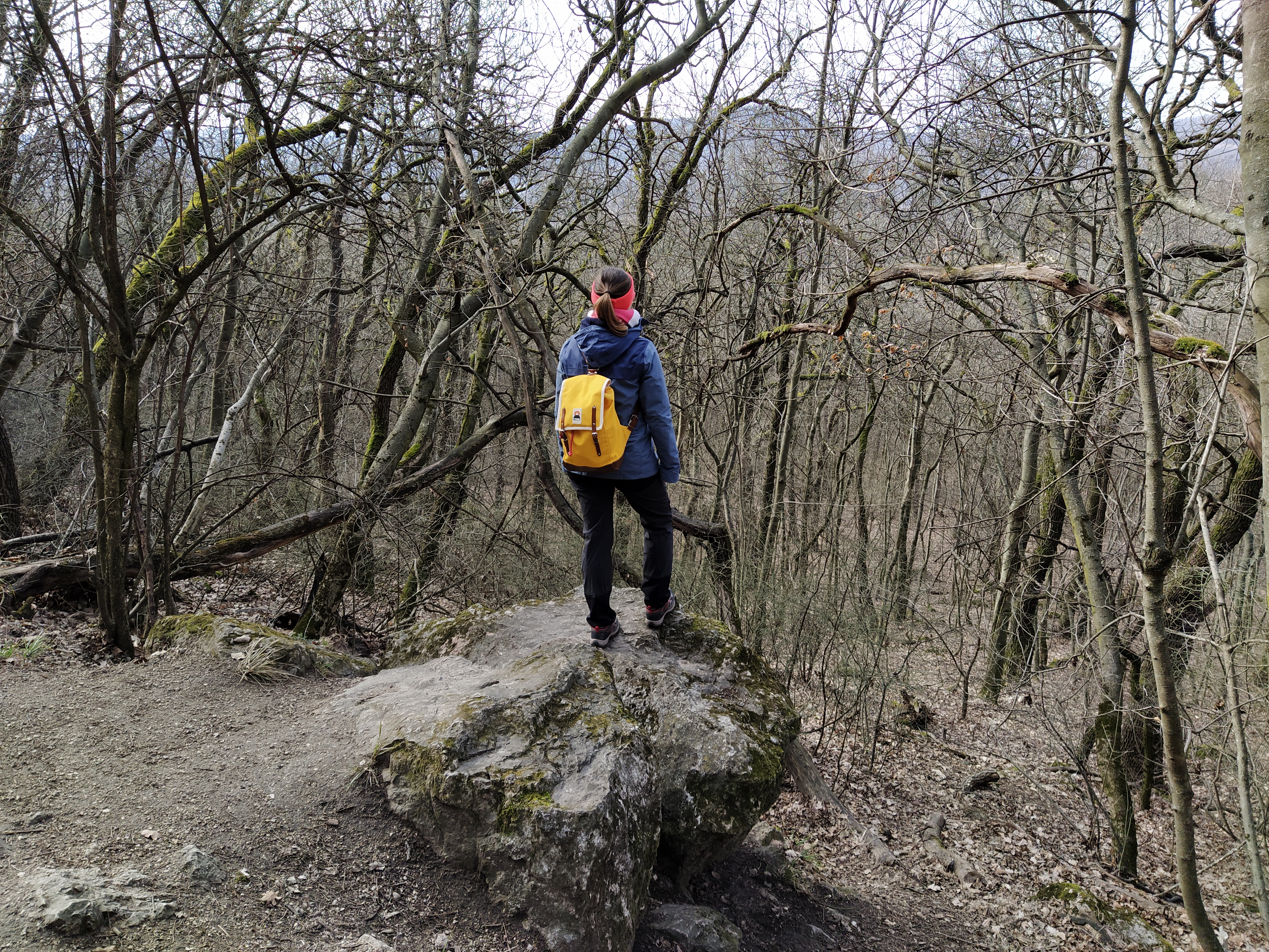
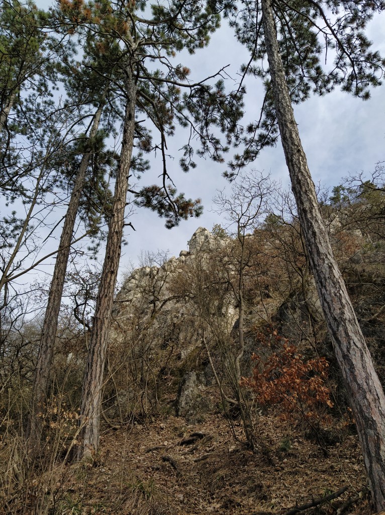
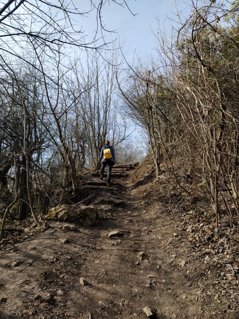
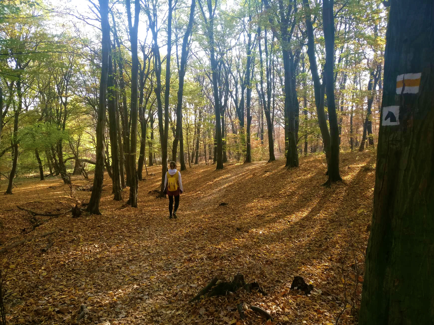
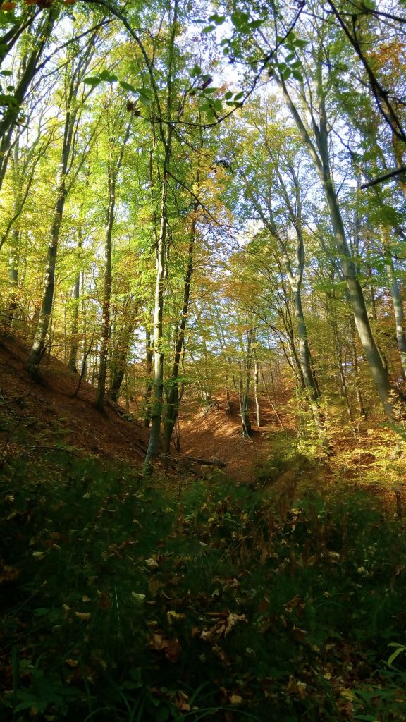
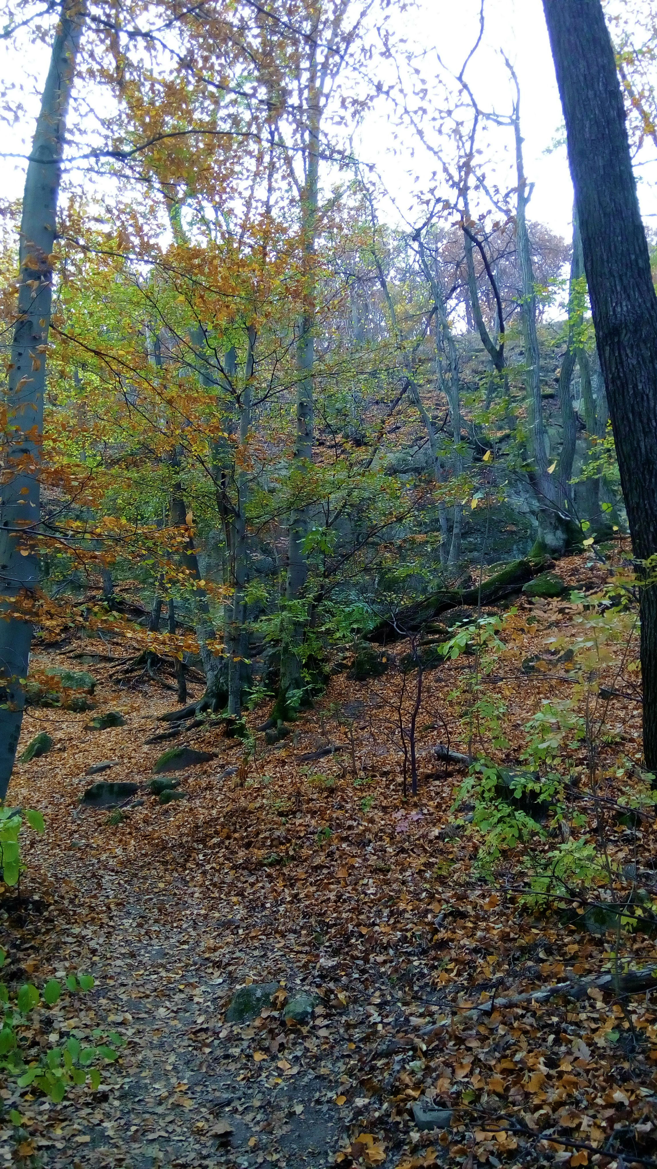
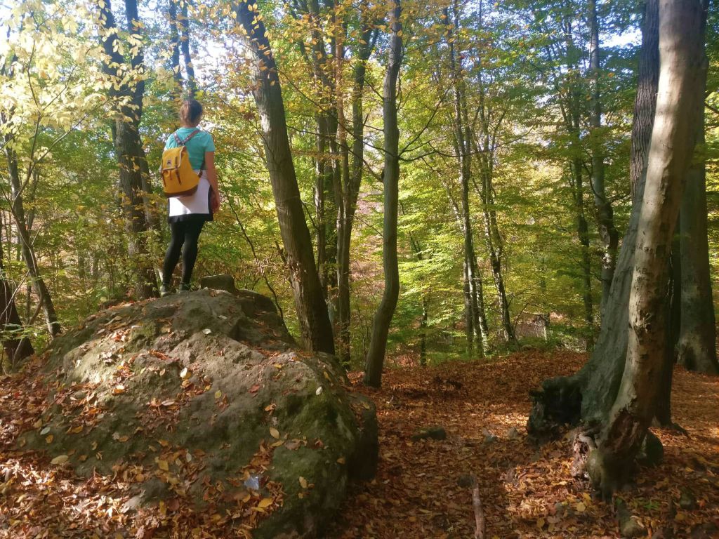
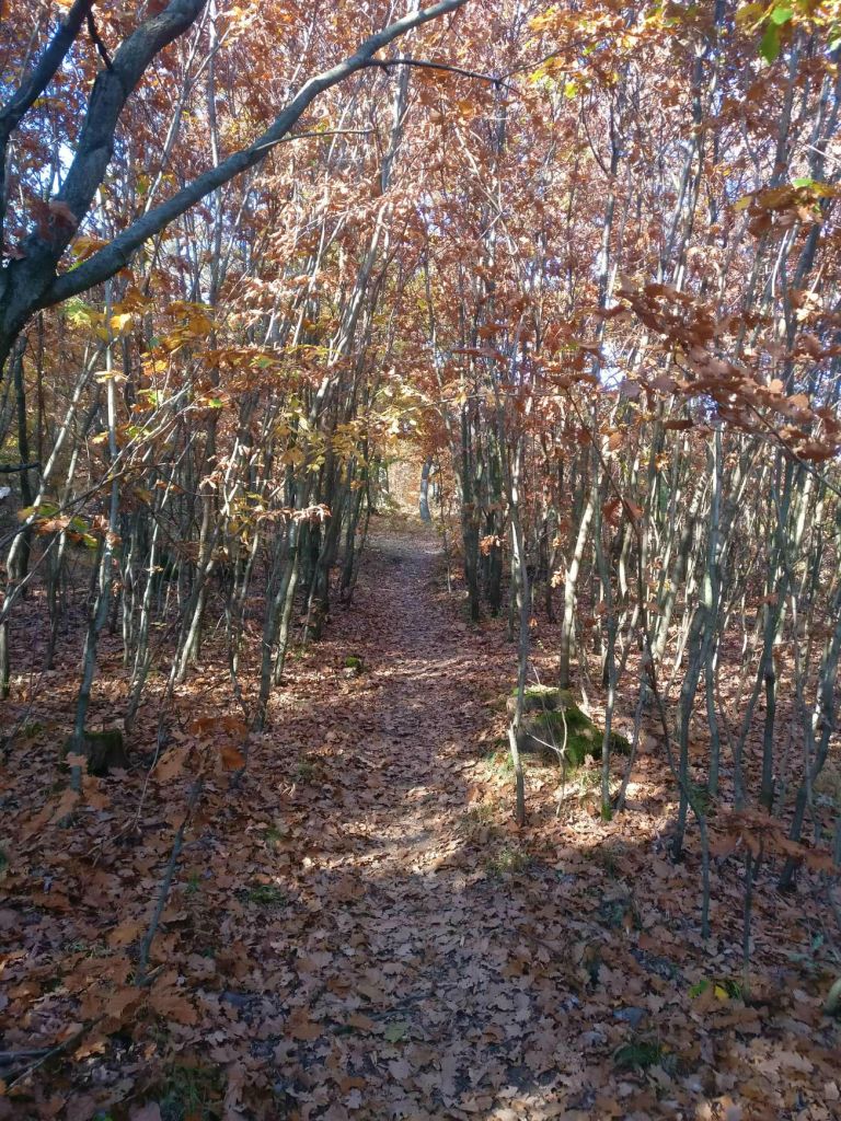
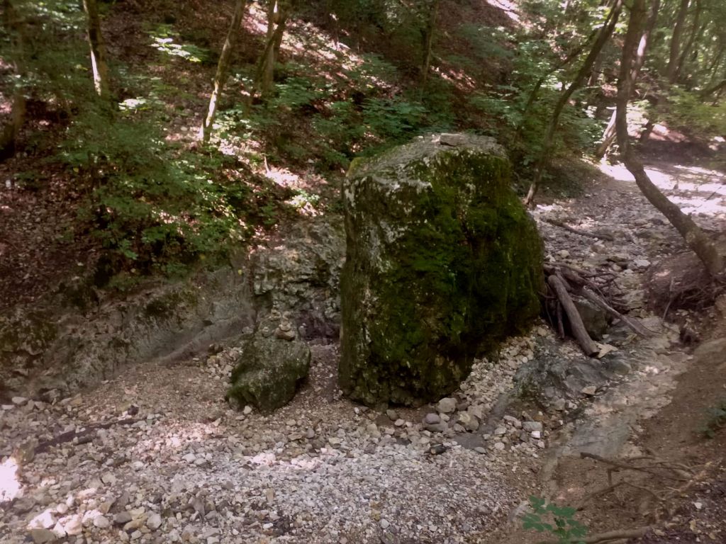
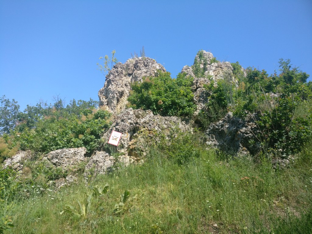
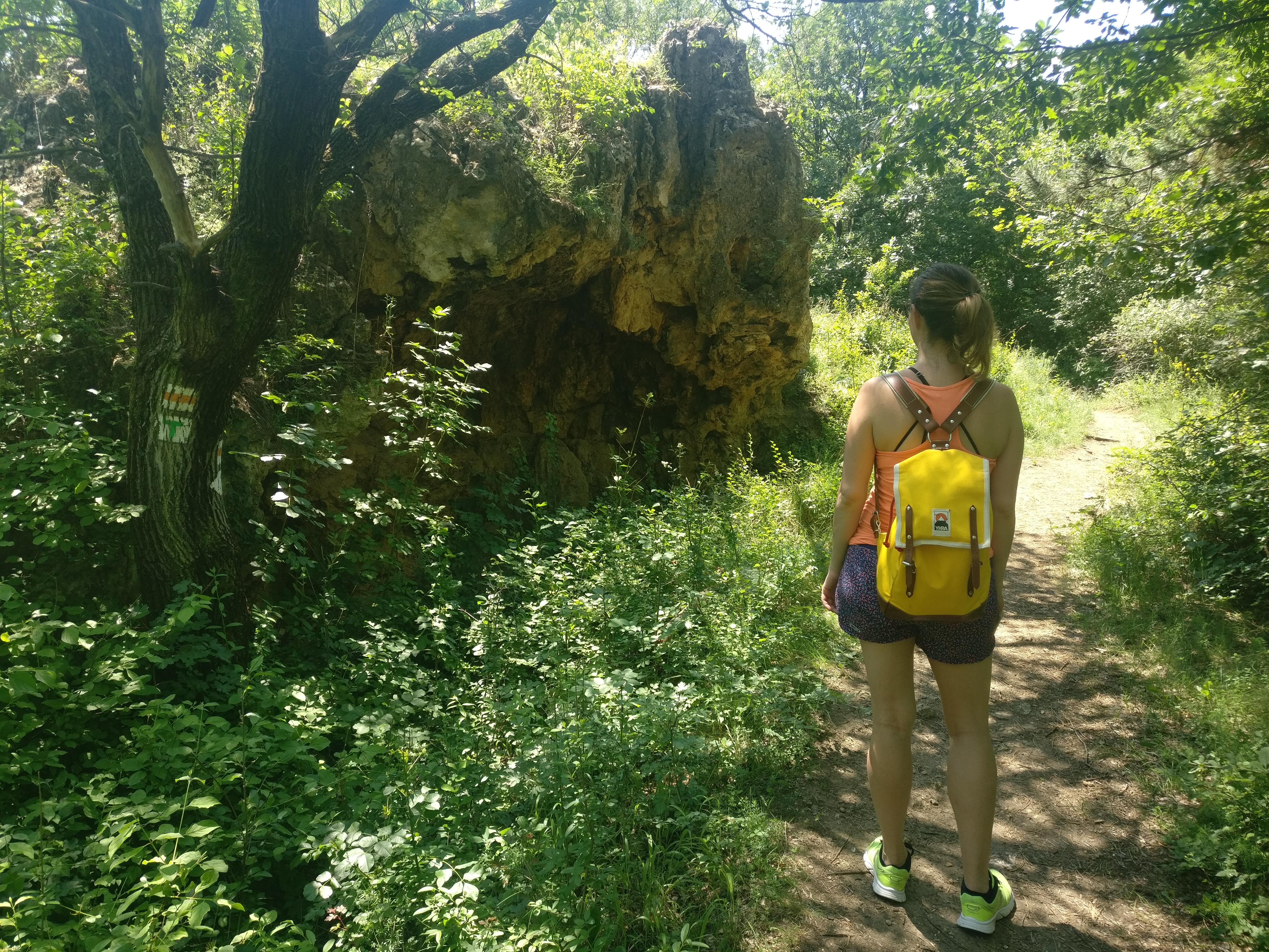
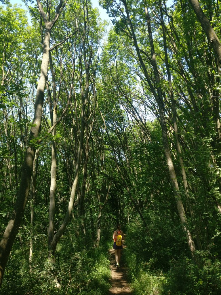
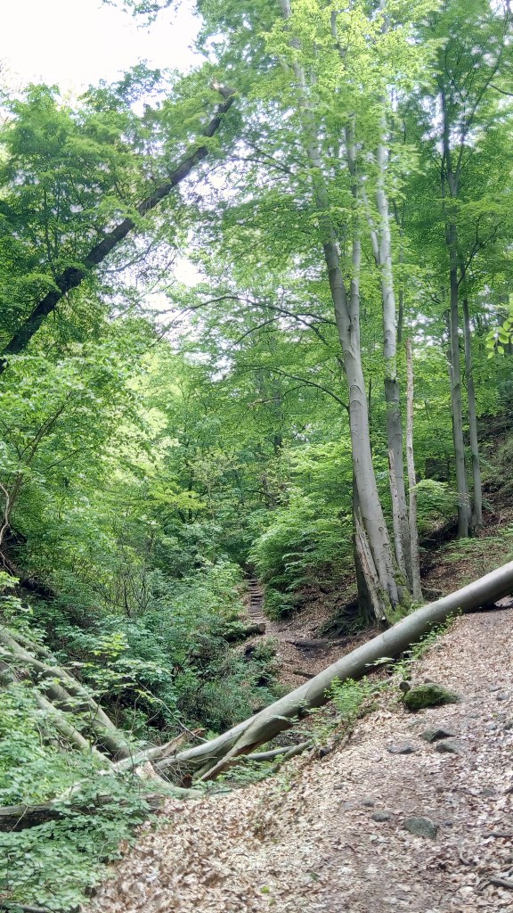
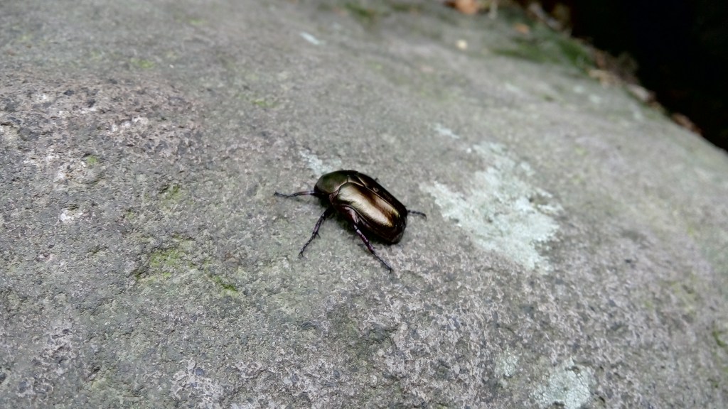
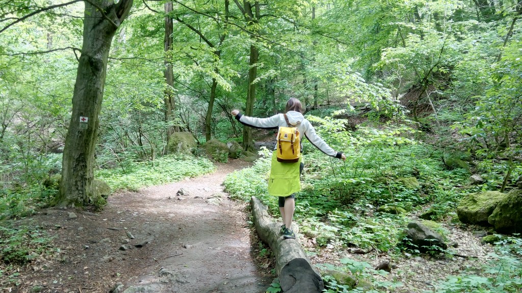
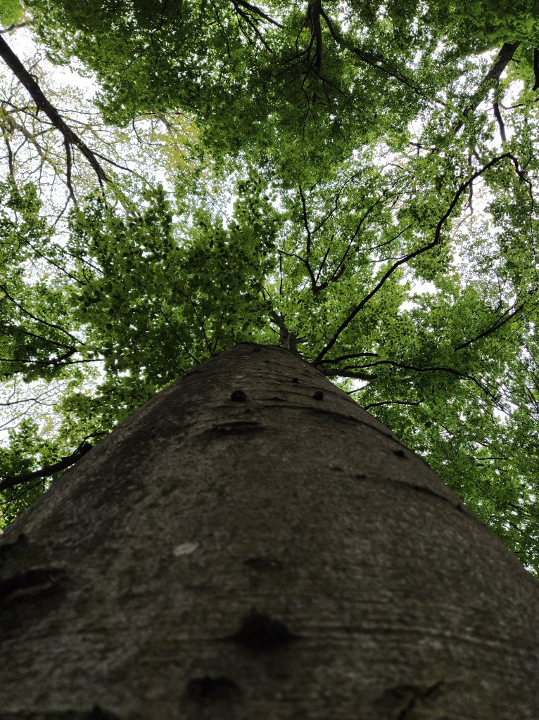
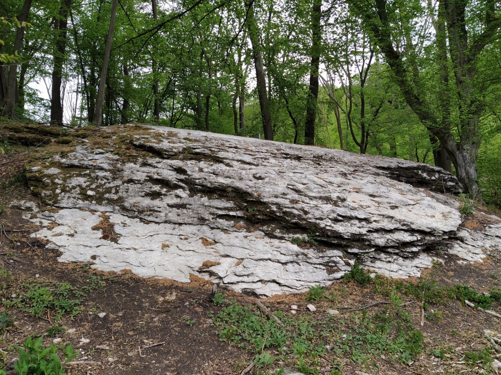
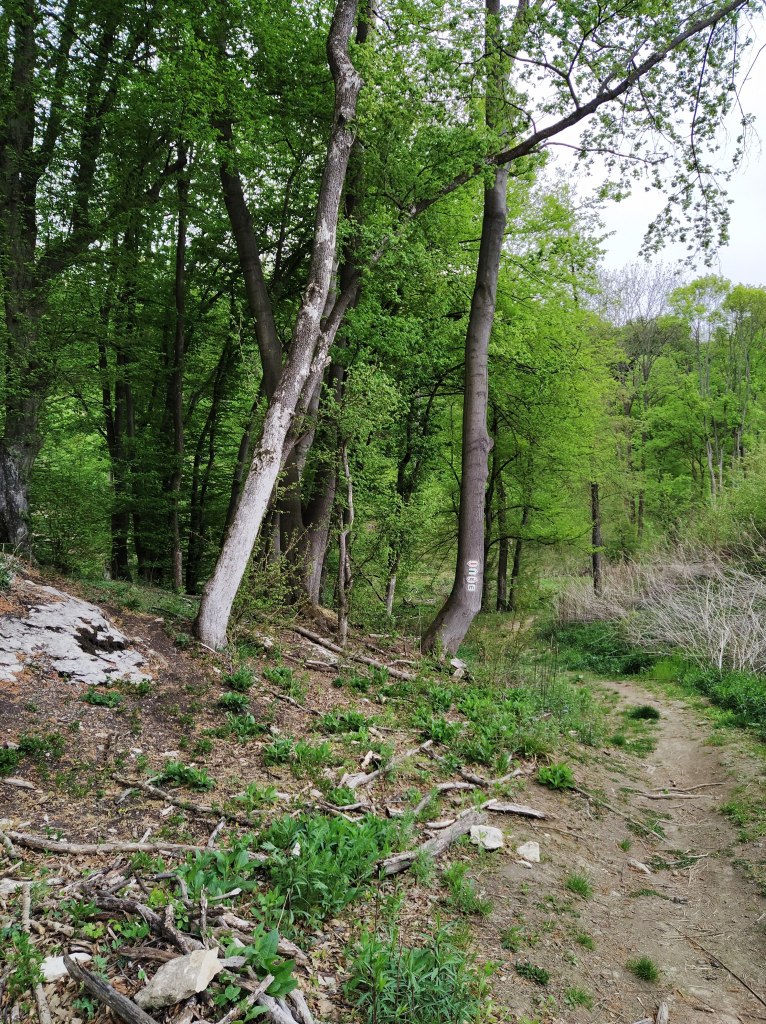
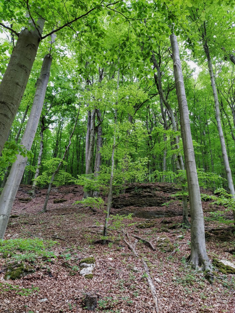
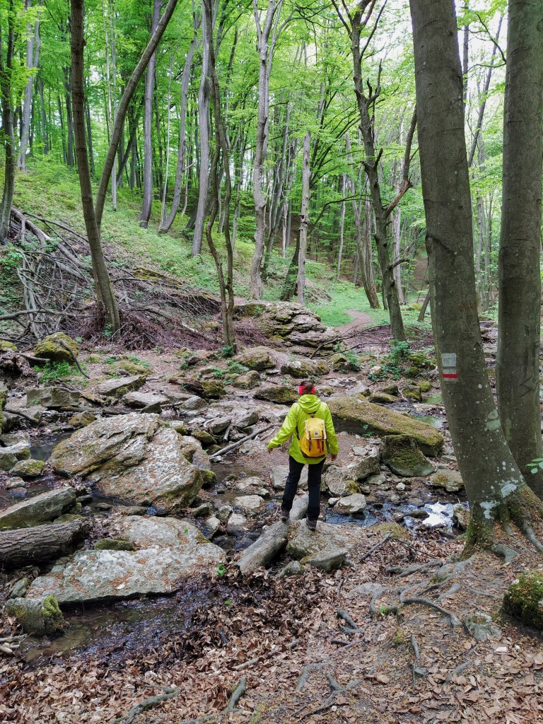
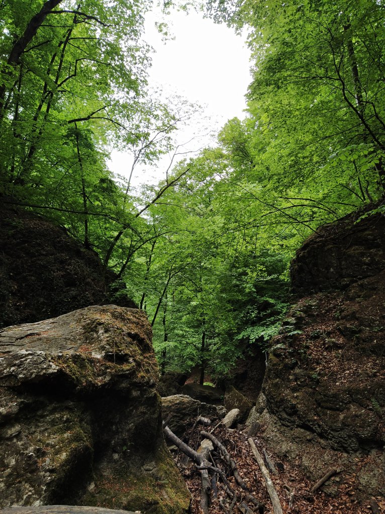
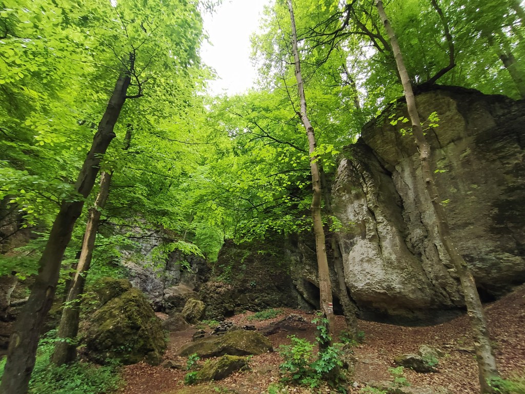
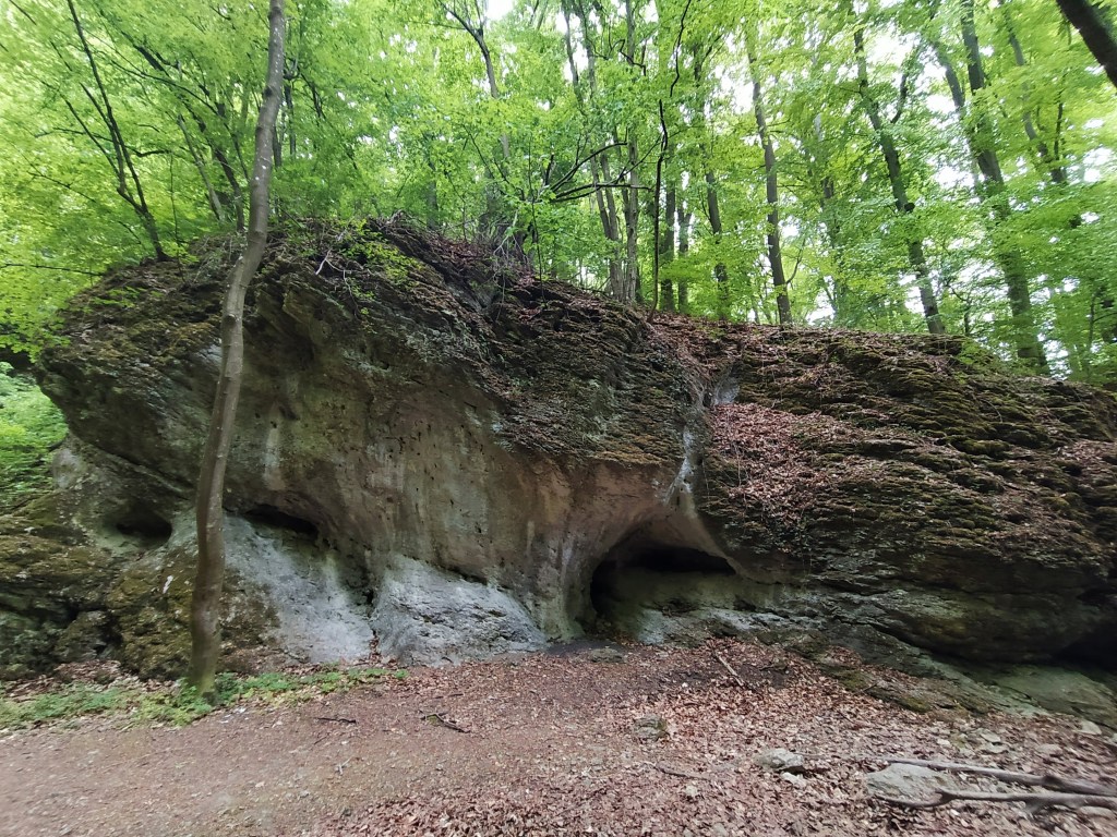
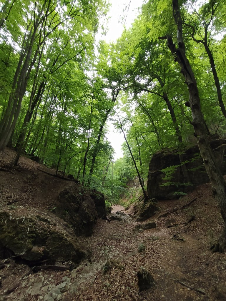
It may sound stupid, but everything was so unbelievably green, even the air had a green hue. After the grey, dreary days of winter, nature has finally awaken. I slowly realised that finally after the constant hustle-bustle of the city, no man-made noise could be heard, just the birds and the soft murmuring of the trees. No relaxation method can beat this if you ask me. The path leading to Devil’s Trench is not always clearly marked but if you follow the map you can’t get lost. Or maybe I just didn’t pay attention to the path markers, I’m easily distracted by a flower, a nice leaf, a bug, so basically by everything.After spotting the first telltale rock, signing that the gorge is getting closer, we turned left on the red line path.


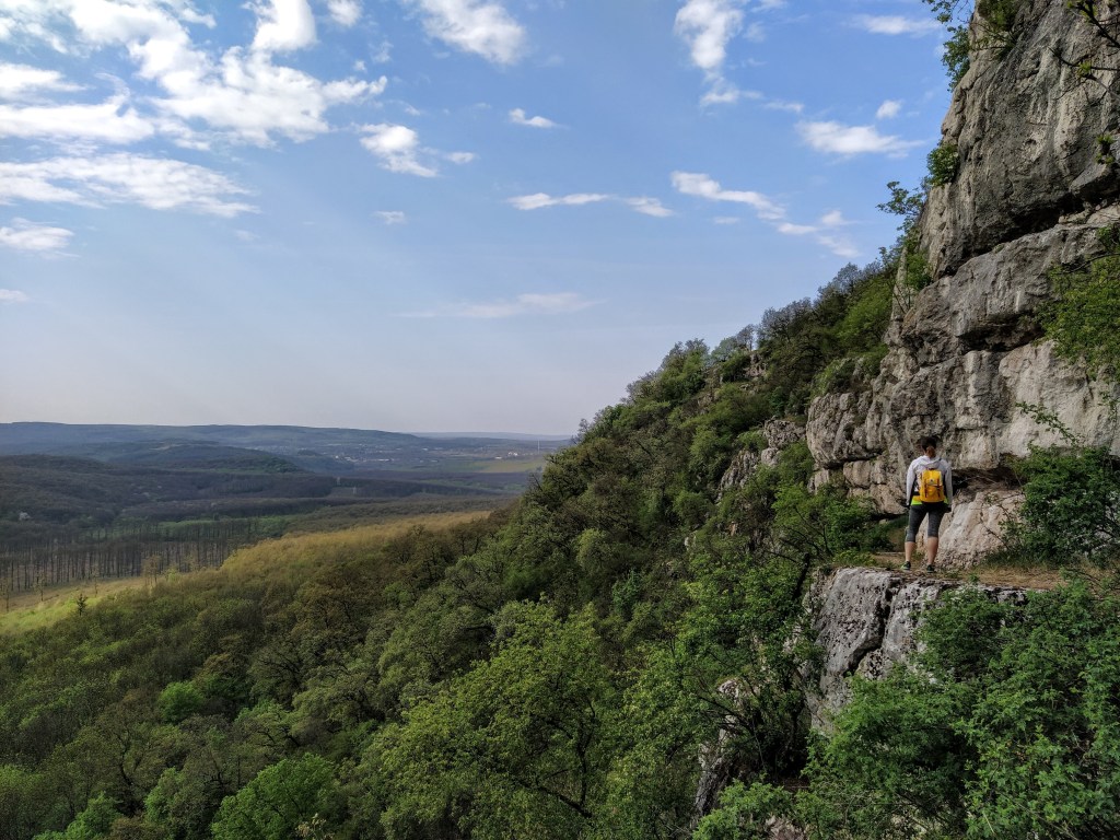
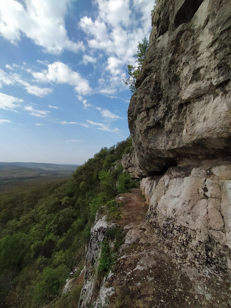
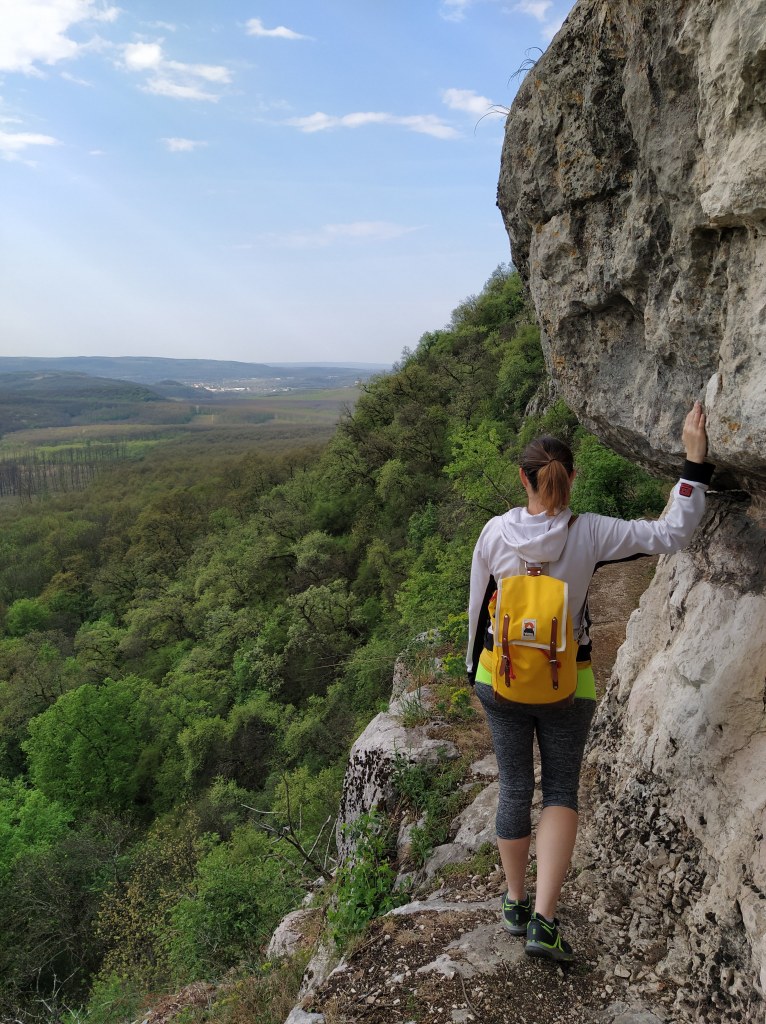
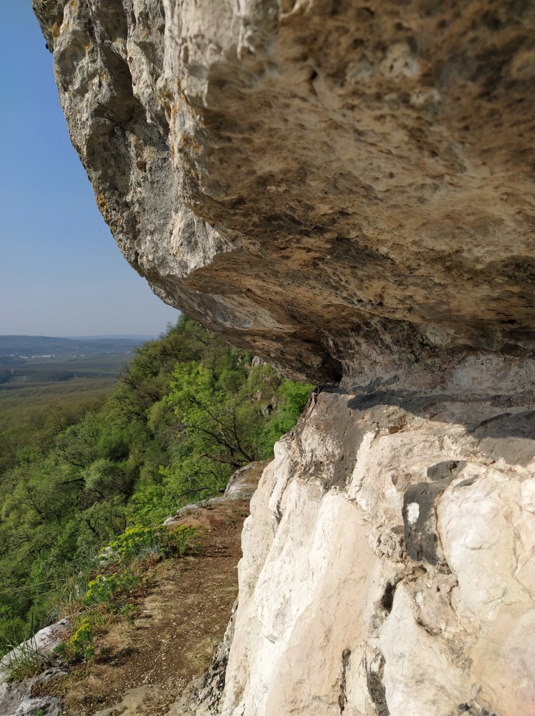
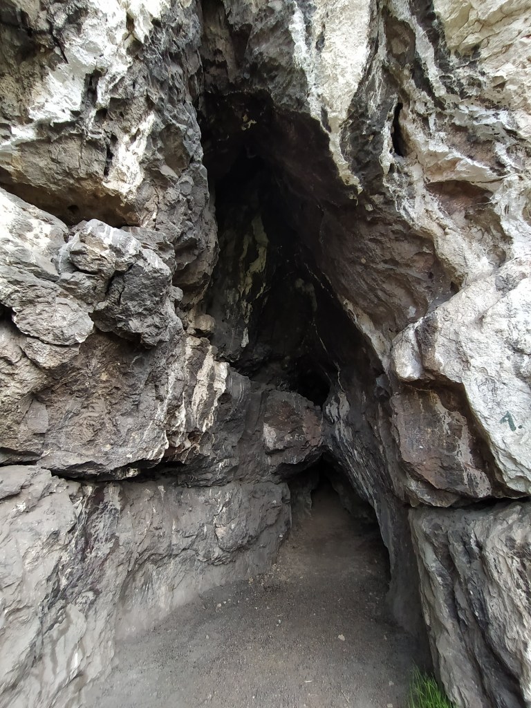
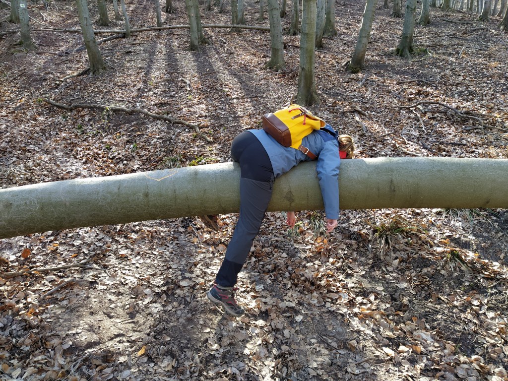
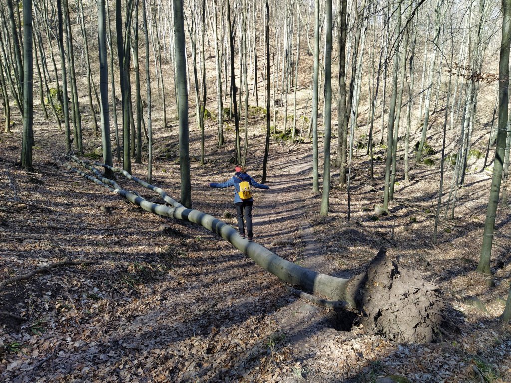
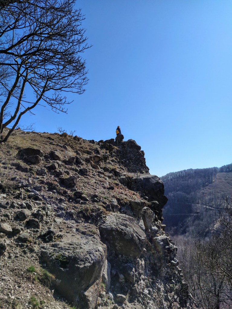
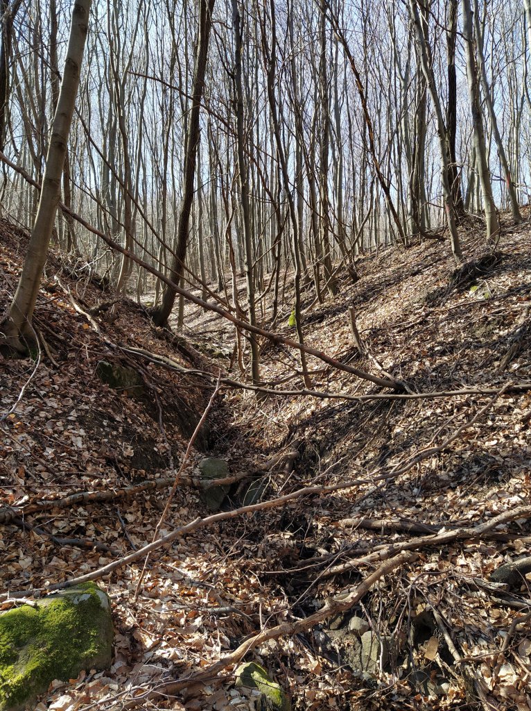
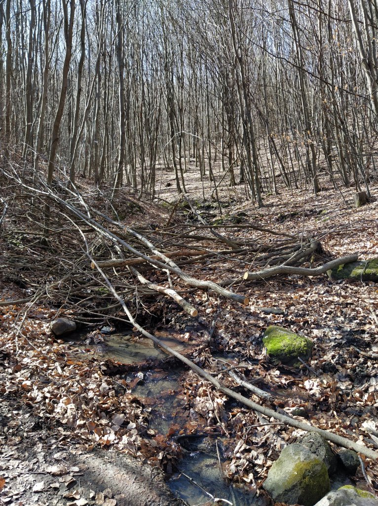
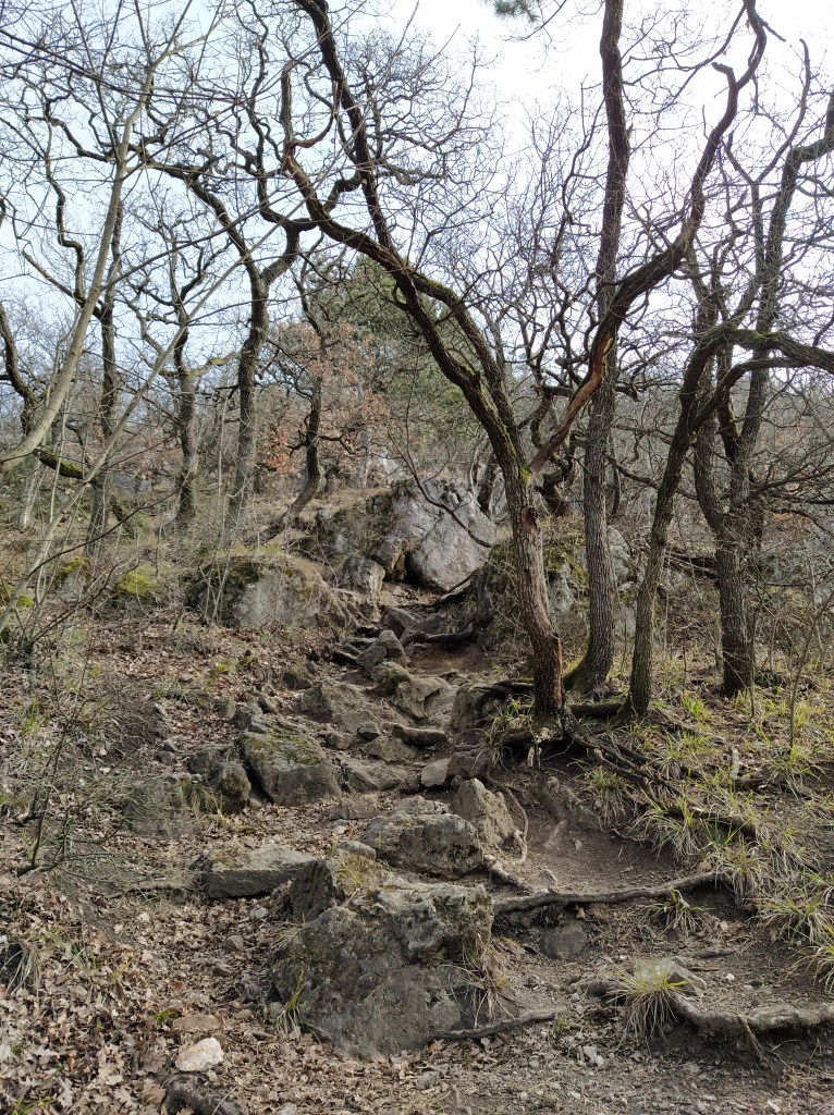
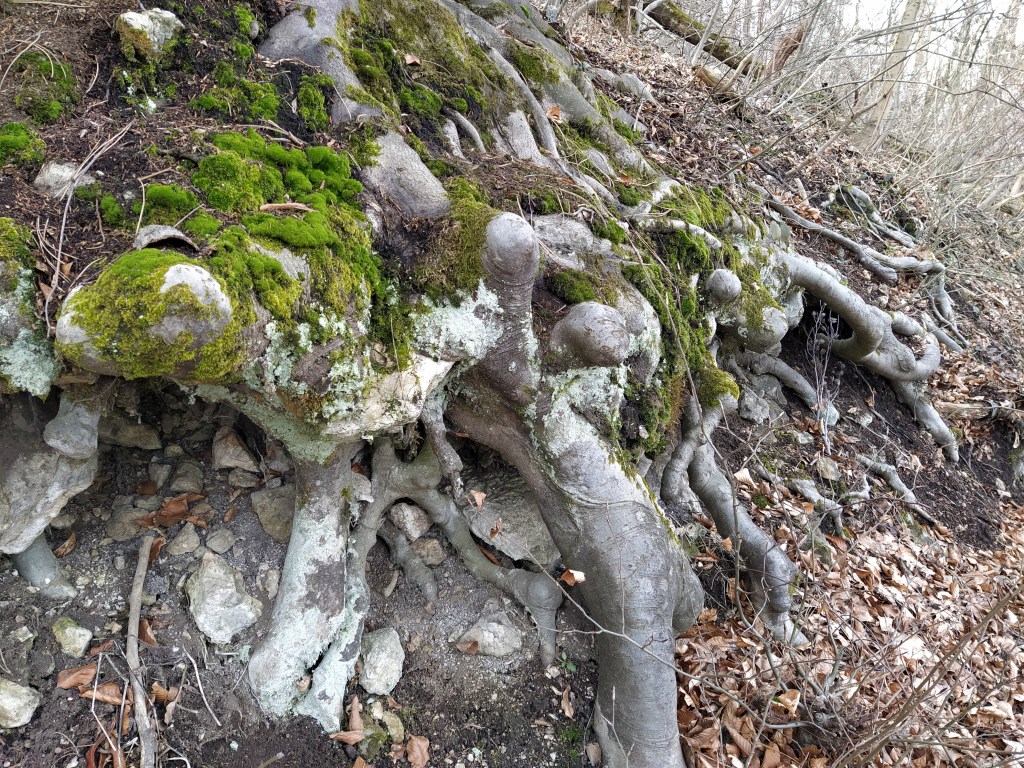
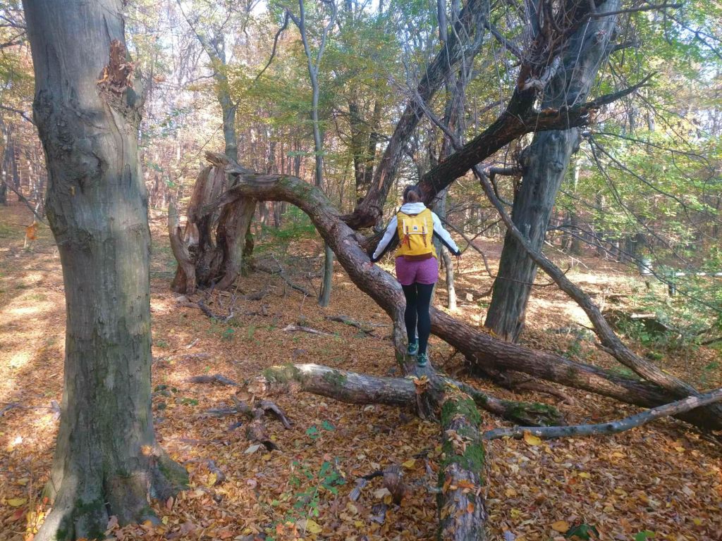
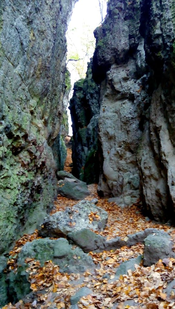
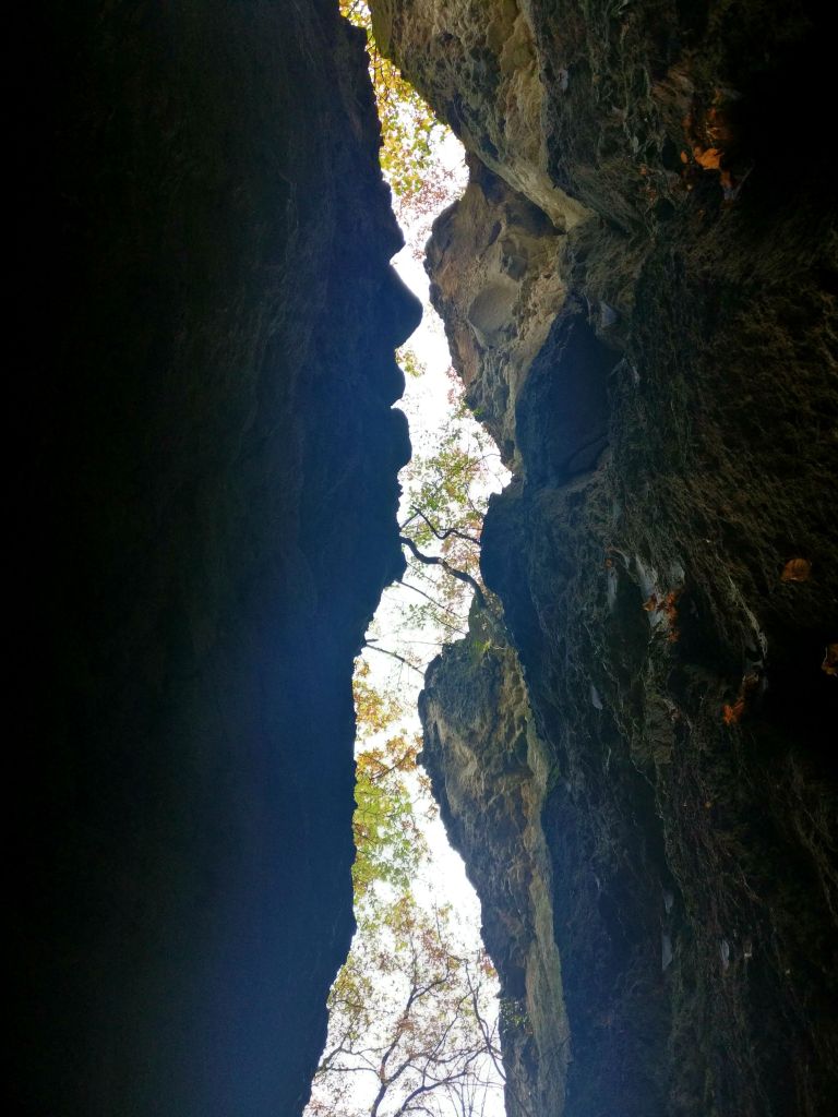
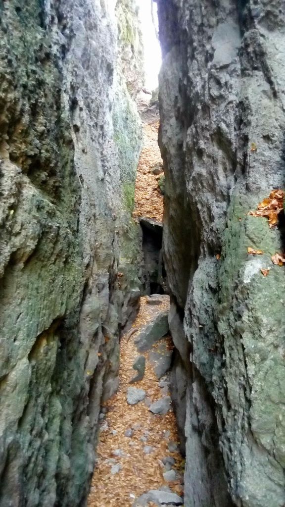
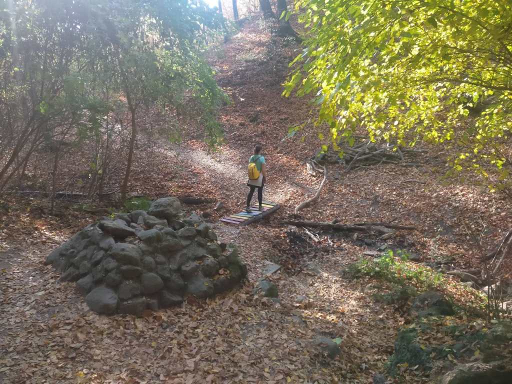
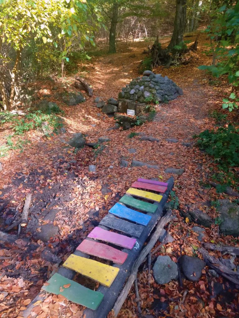
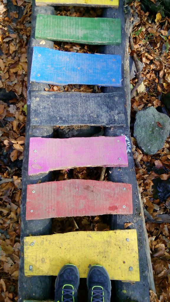
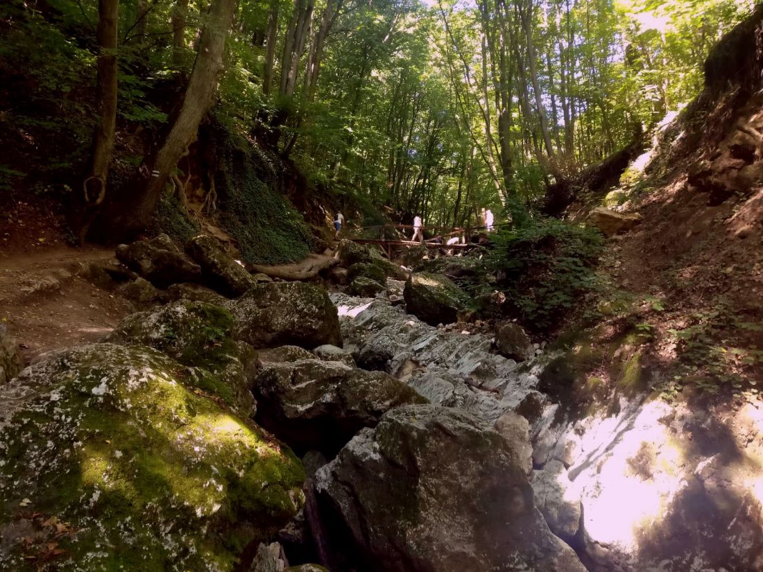
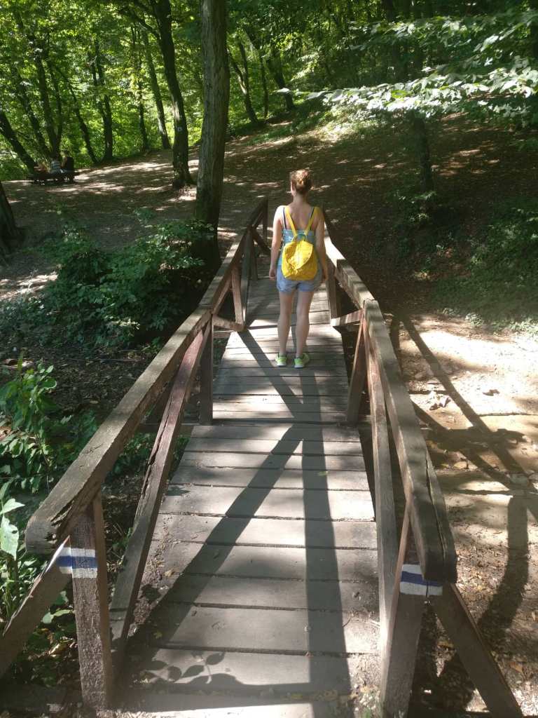
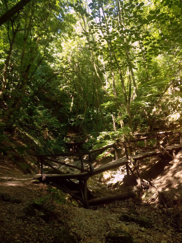
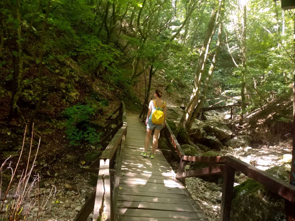
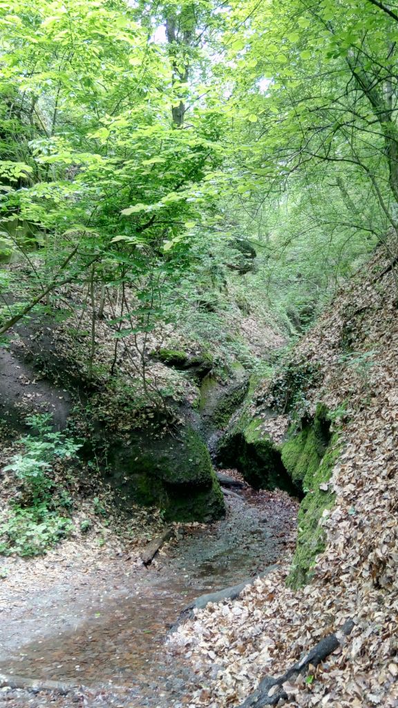
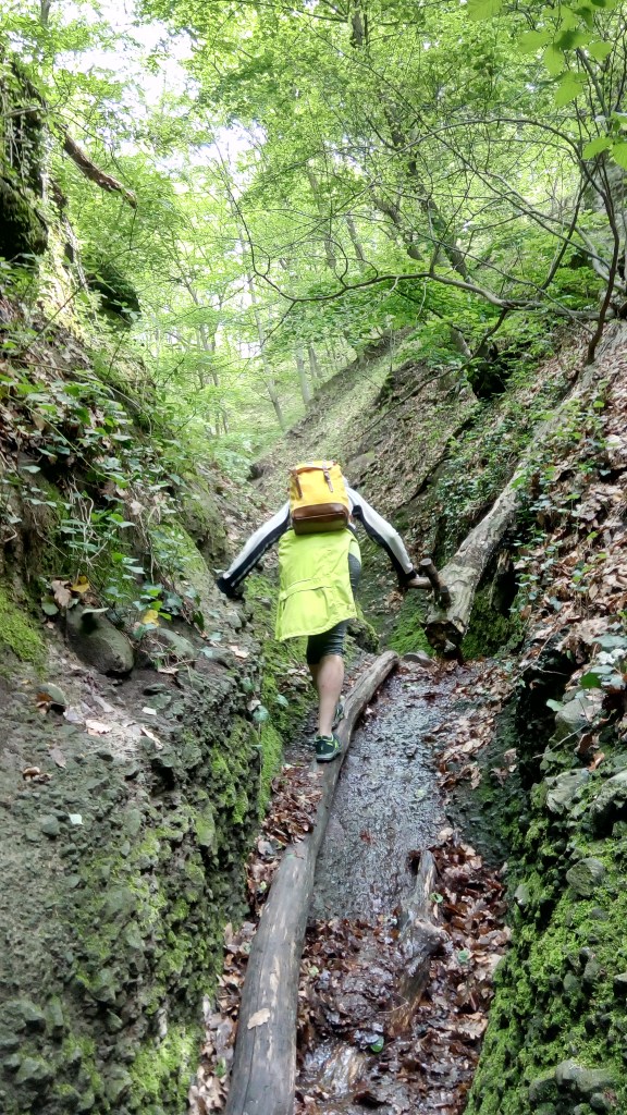
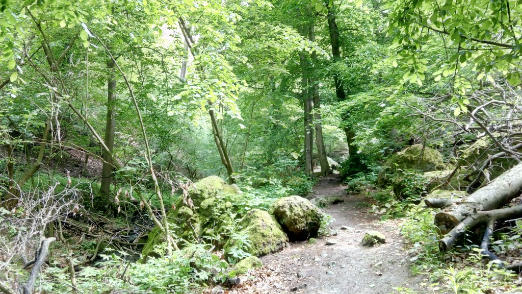
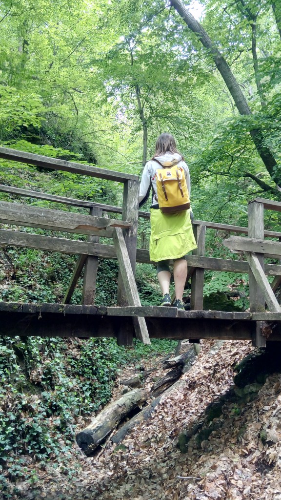
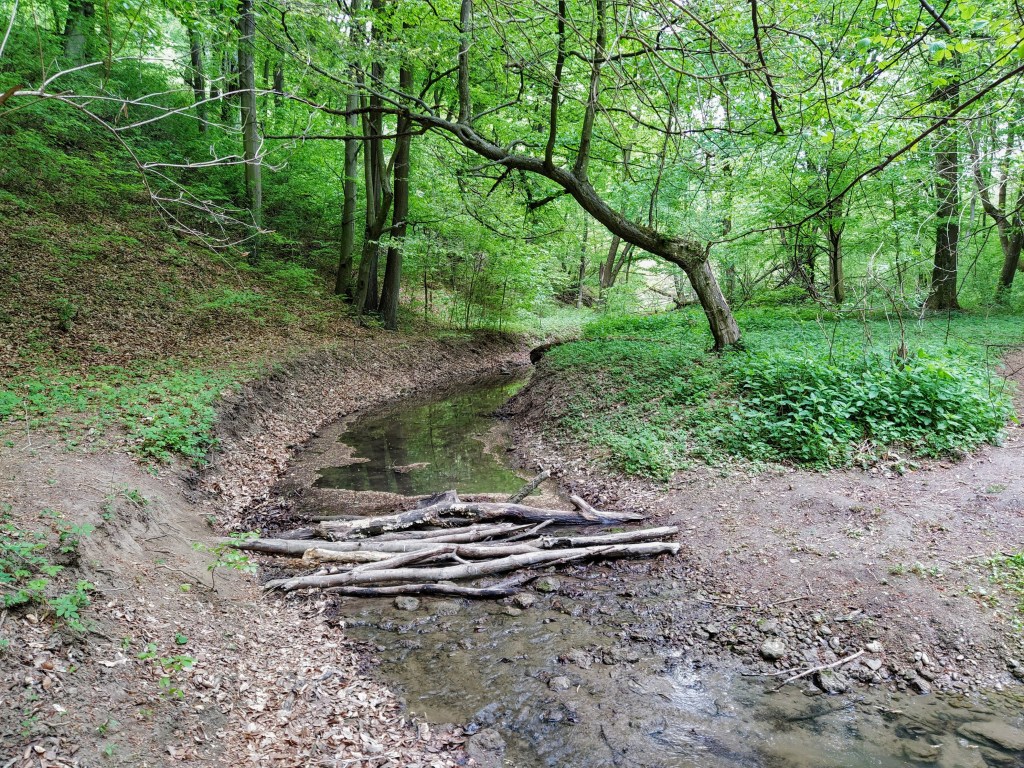
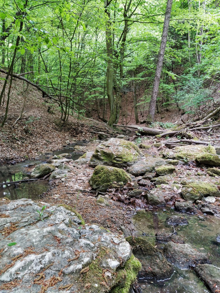
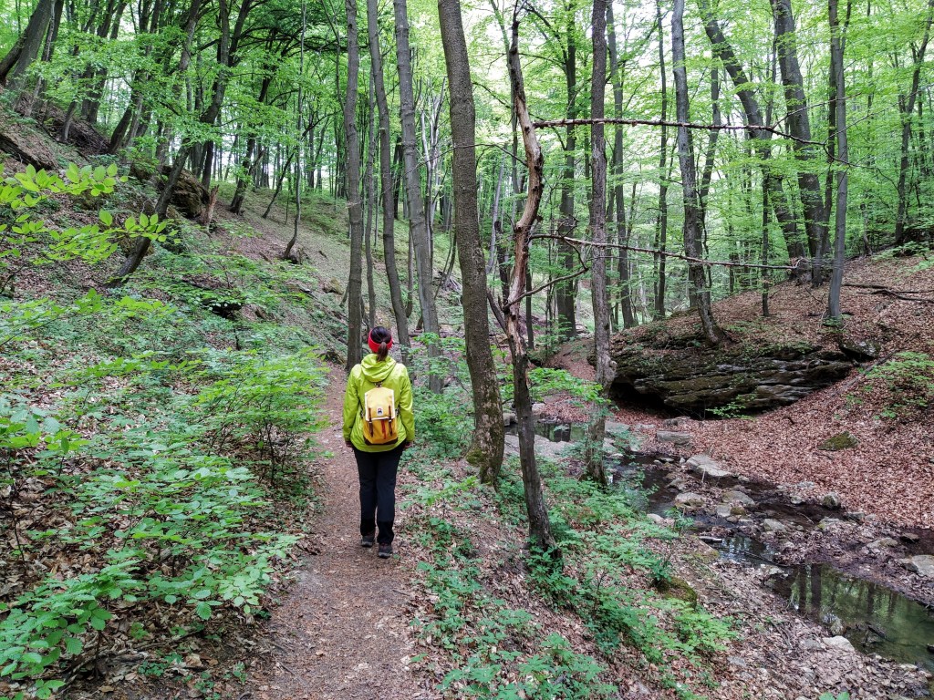
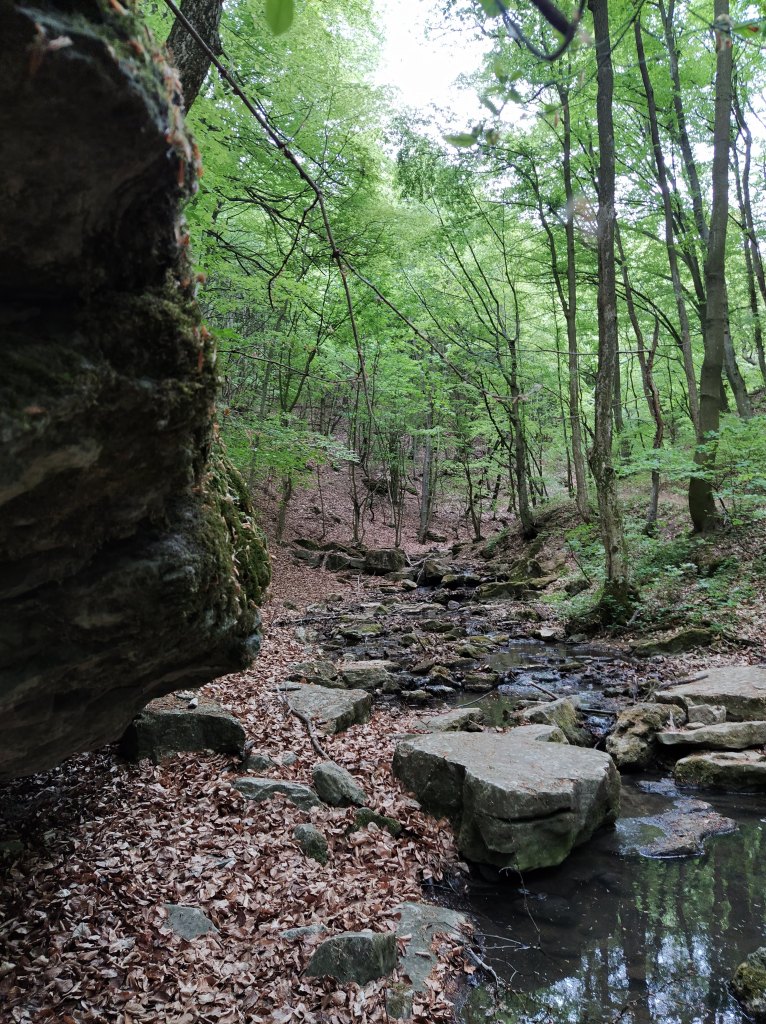
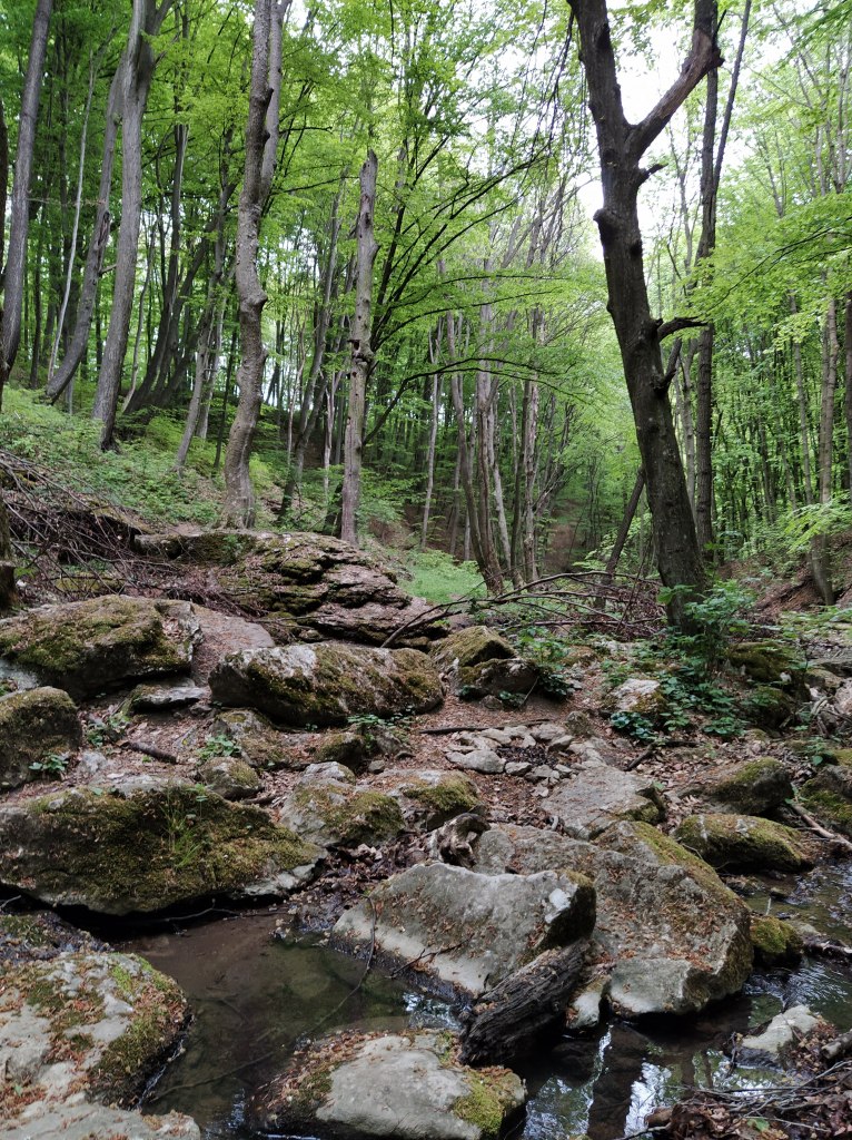
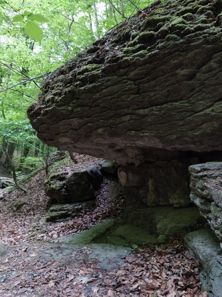
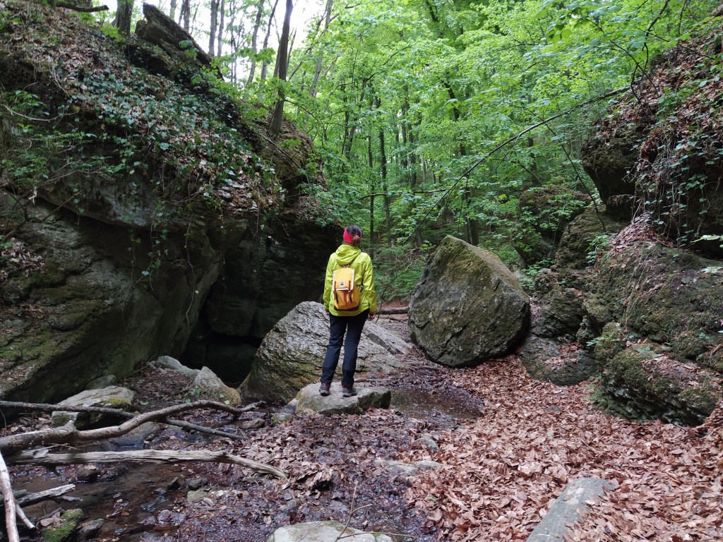
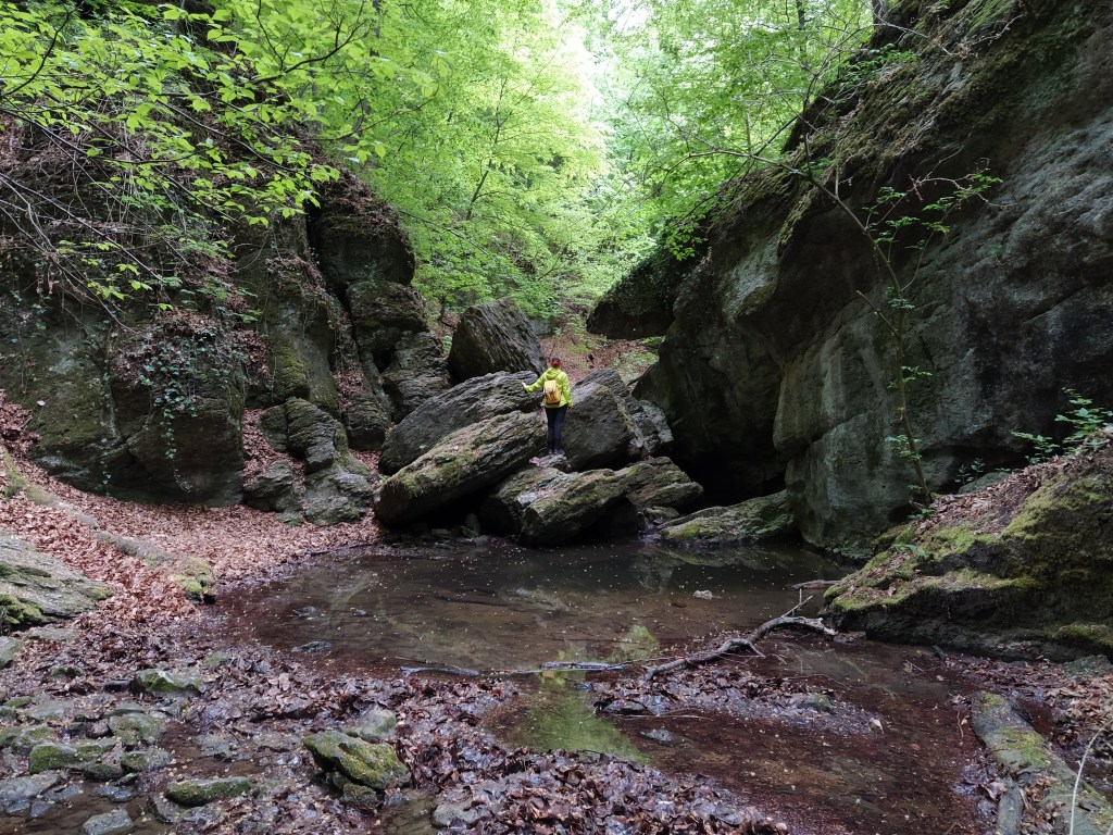
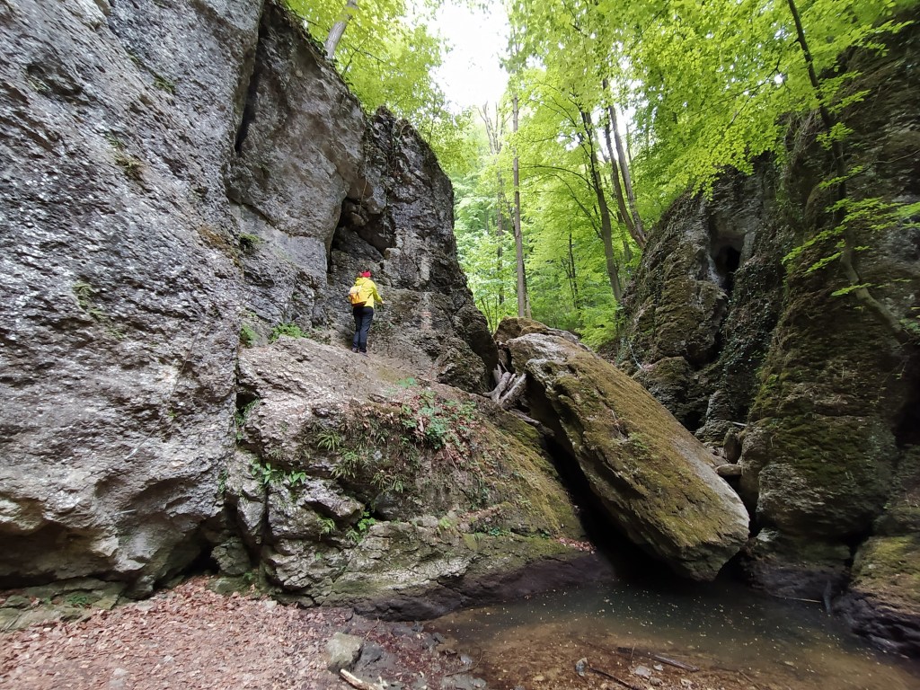
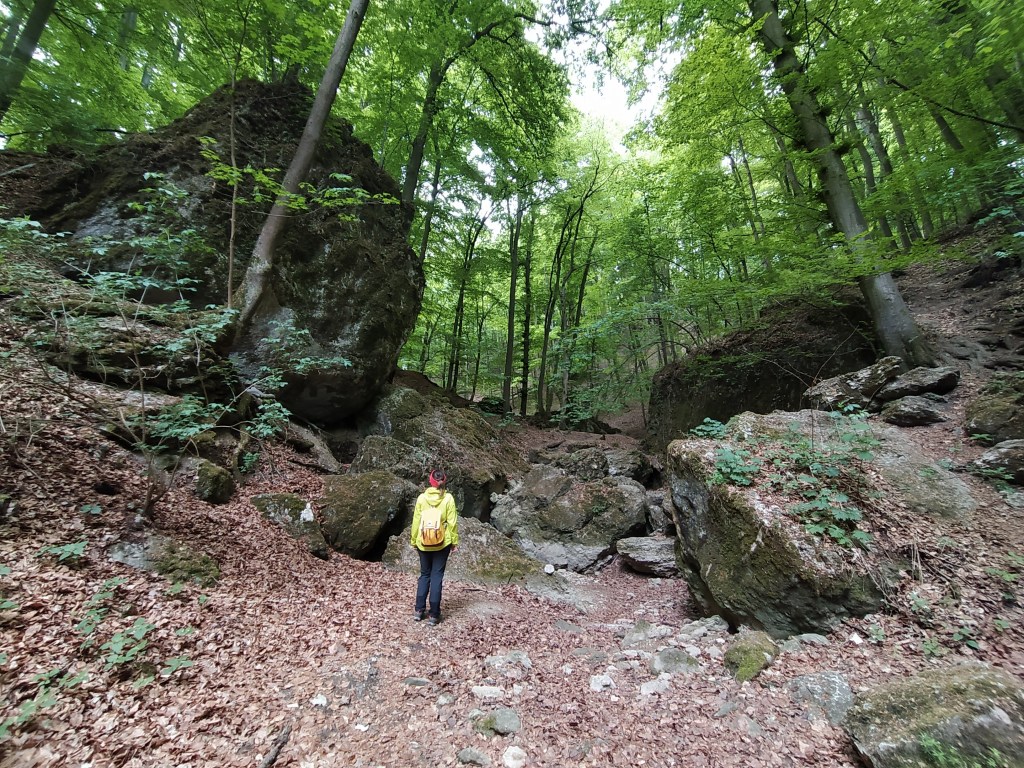
Walking along the ravine is quite an adventure, the path is often blocked by a fallen tree and crosses the riverbed many times, so you have to balance on rocks to avoid getting your feet wet. 


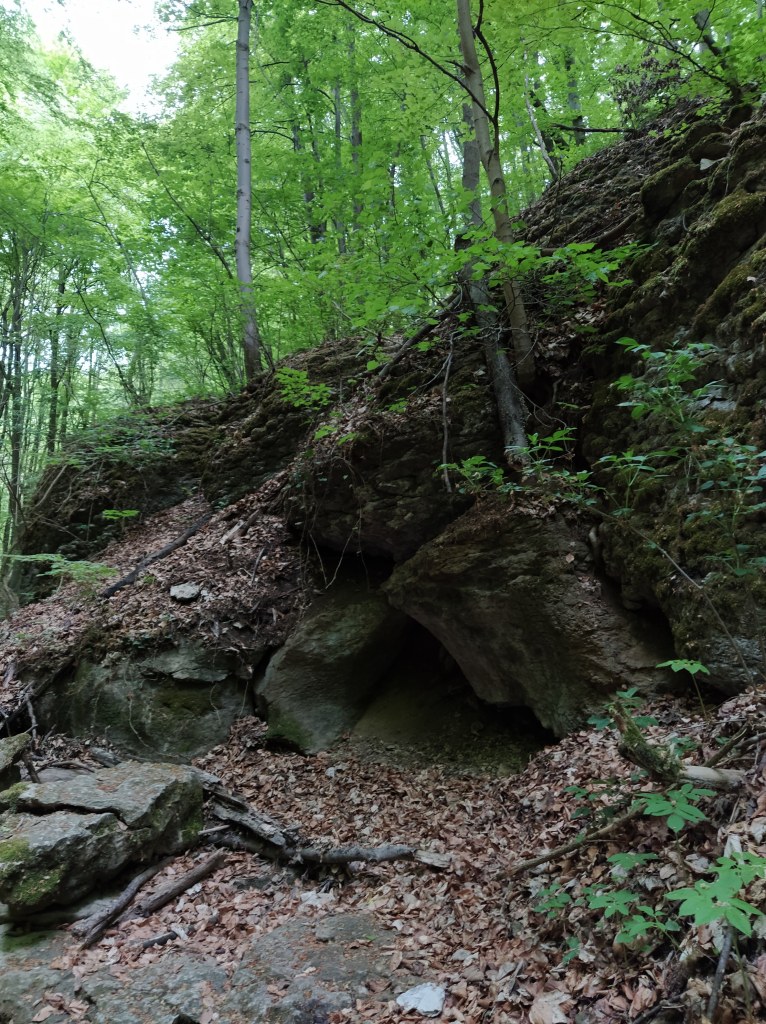
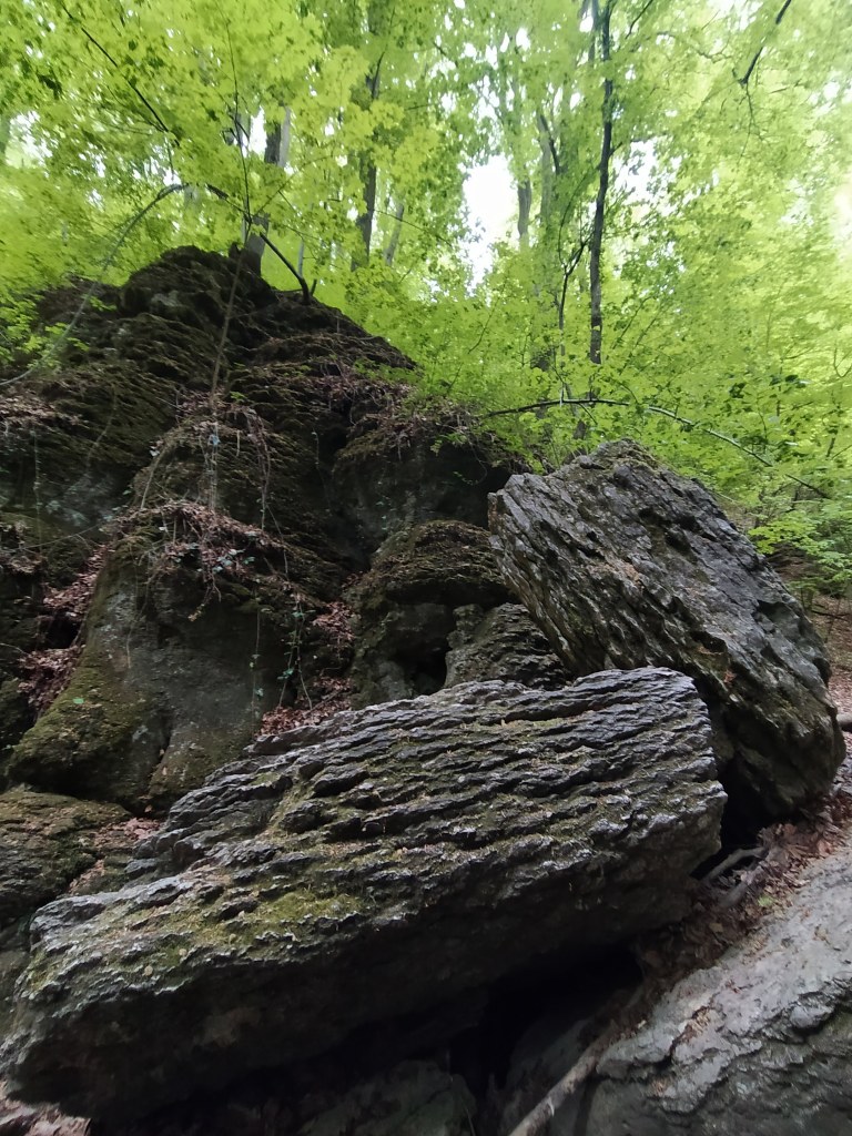
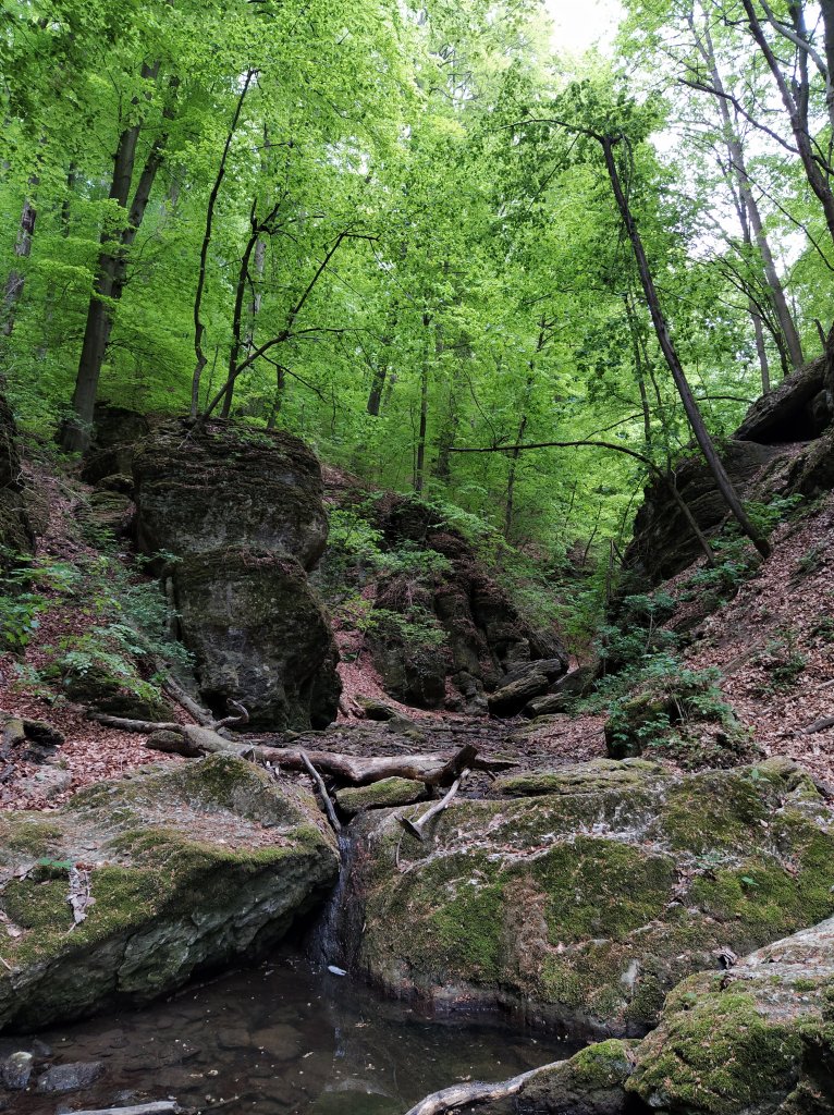
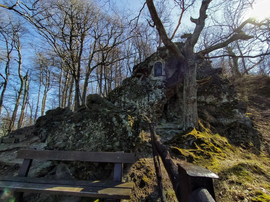
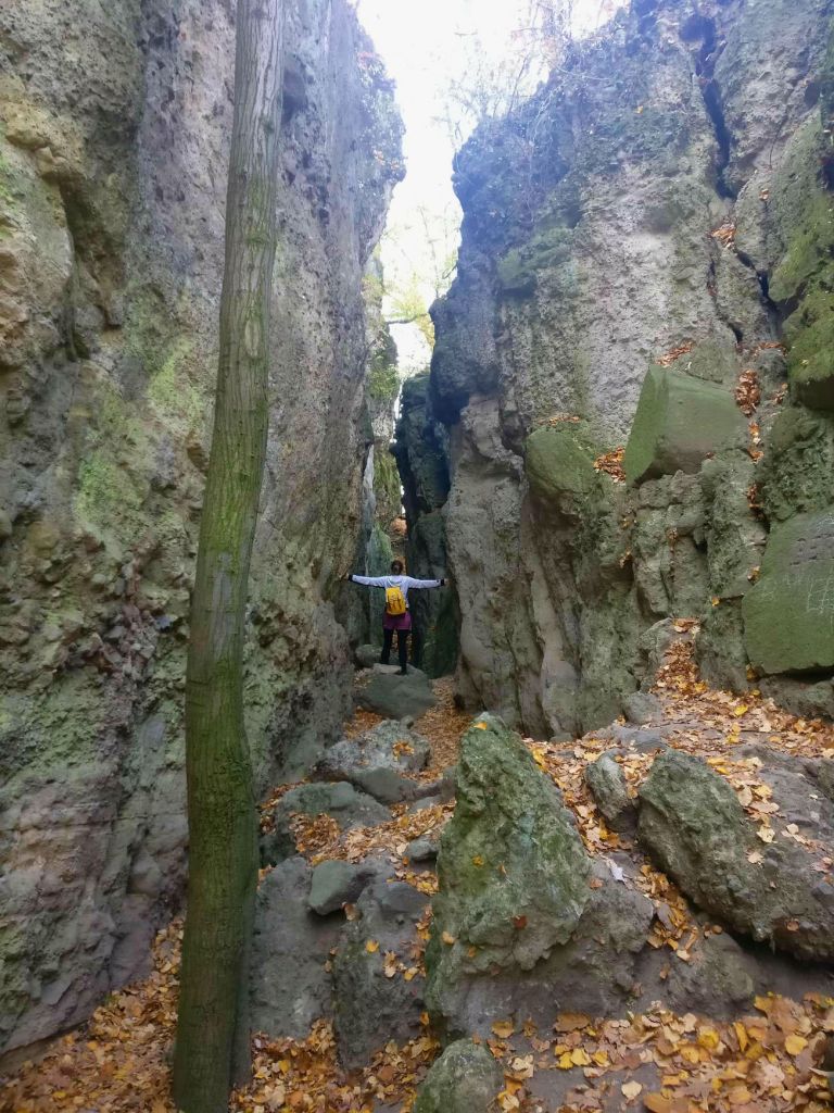
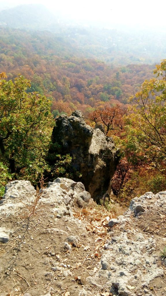
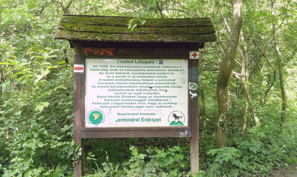
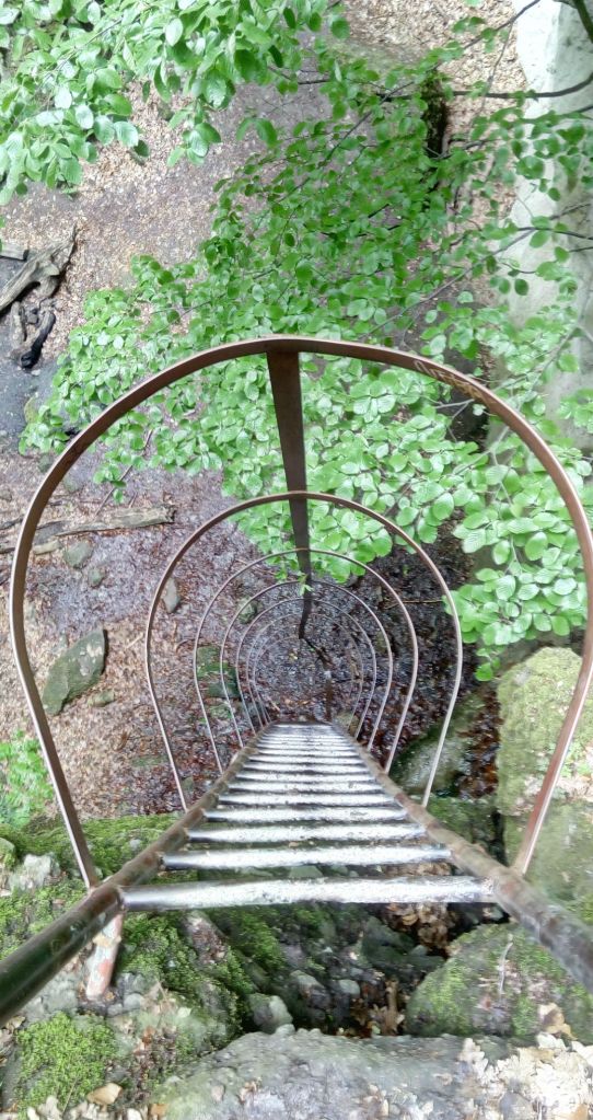
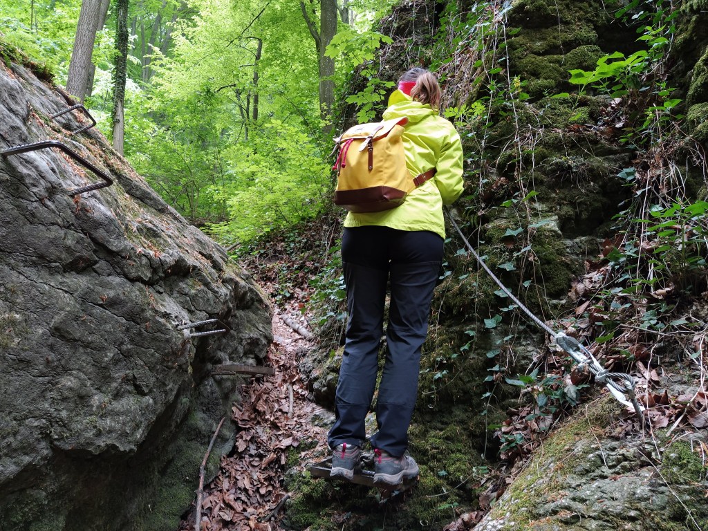
The most challenging part of the creek is the Devil’s Dam. A big chunk of the cliff wall has broken off and formed a natural dam blocking off the path. Iron steps and cables were inserted to facilitate the crossing or there’s a short detour if you don’t want or can’t climb through. Although I’m afraid of heights and not a brave person overall I wanted to cross through the Dam for sake of adventure and to prove to myself that I can.Oh boy, it was not a smooth ride, if not for my boyfriend, I would be still hanging onto the cable (and to my life) on the cliff wall. I was thinking of doing a little via ferrata lately, but it looks like this project will stay on the theoratical plane in the foreseeable future. 
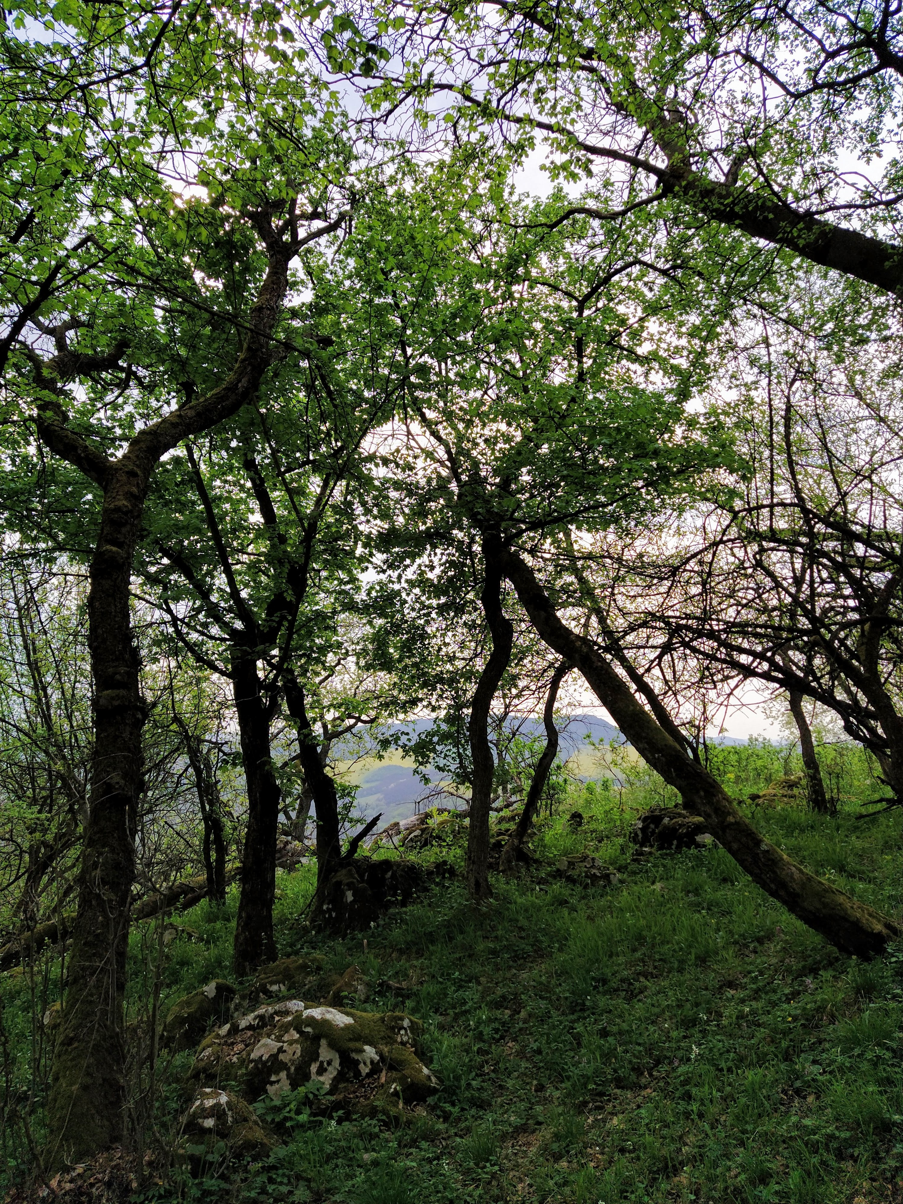
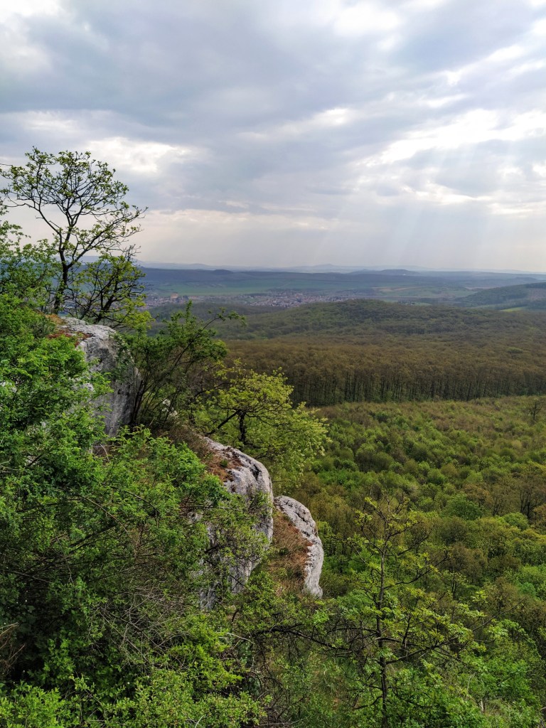
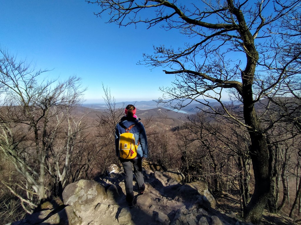
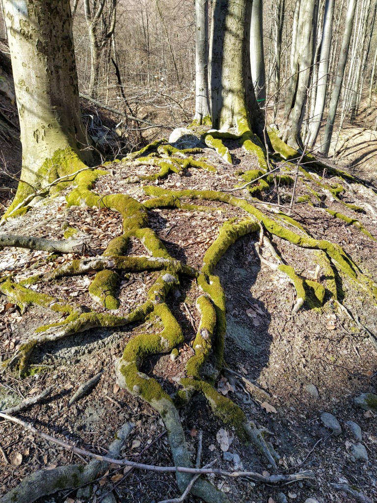
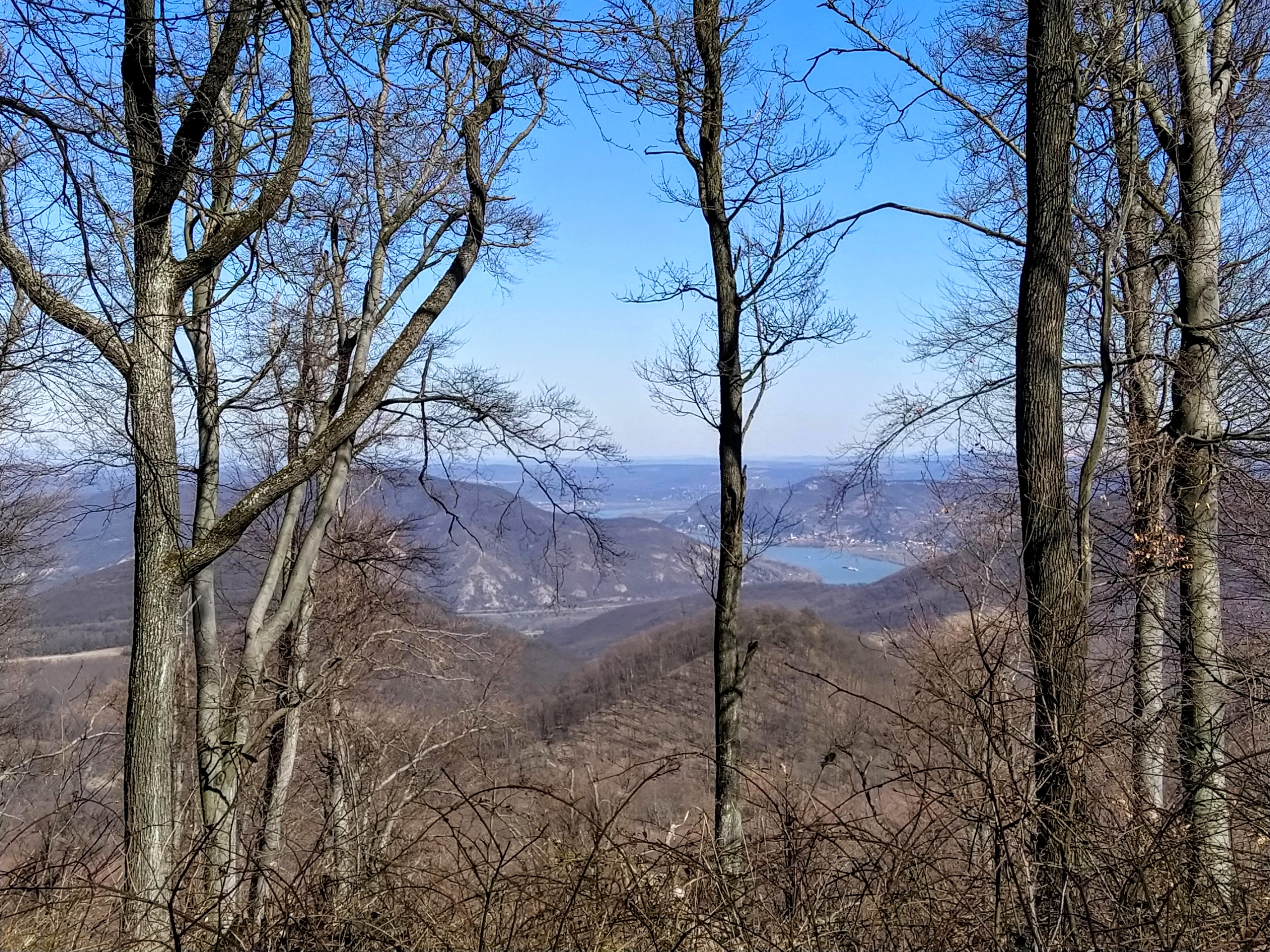
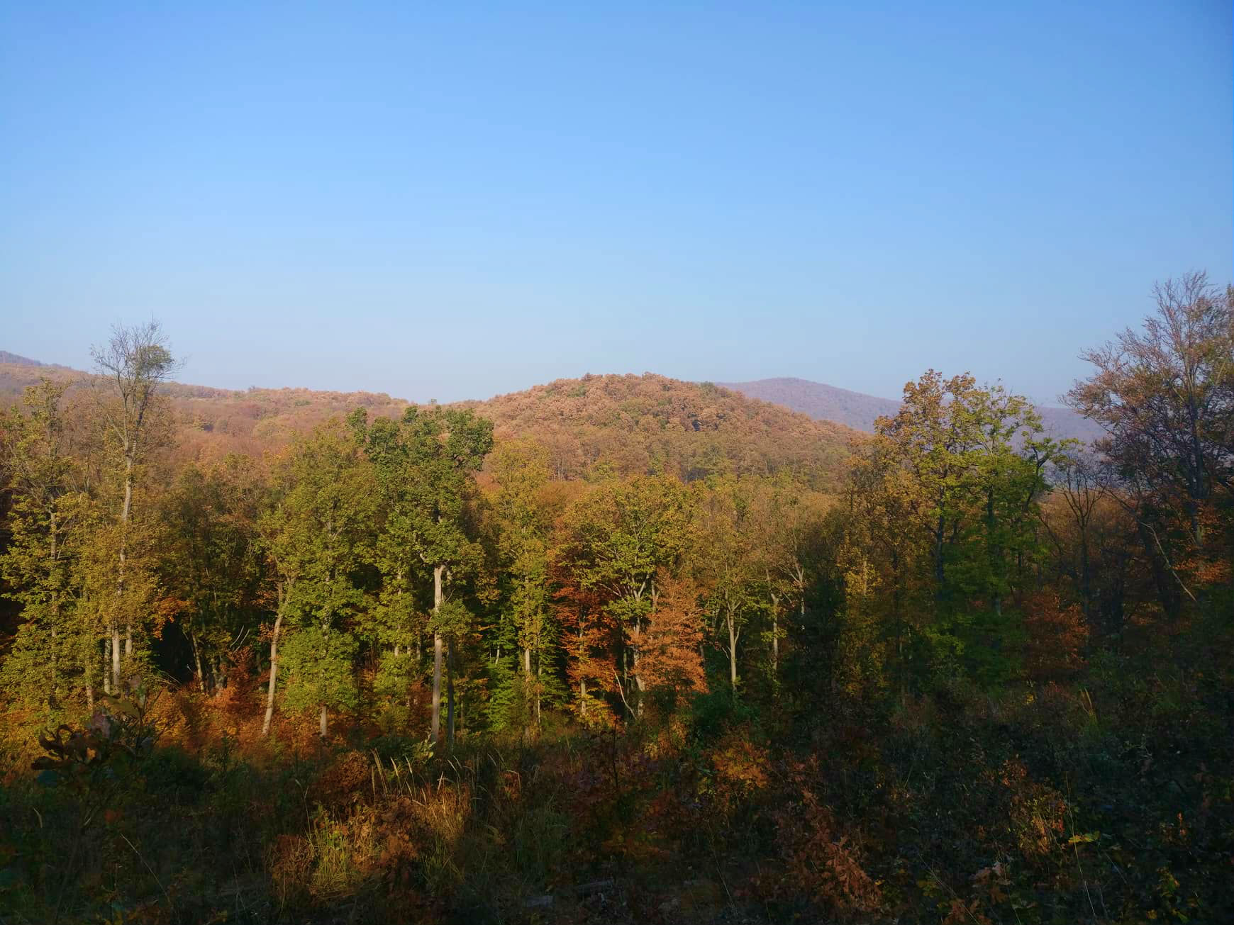
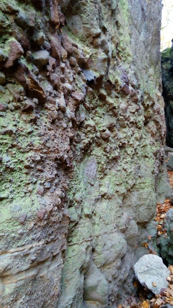
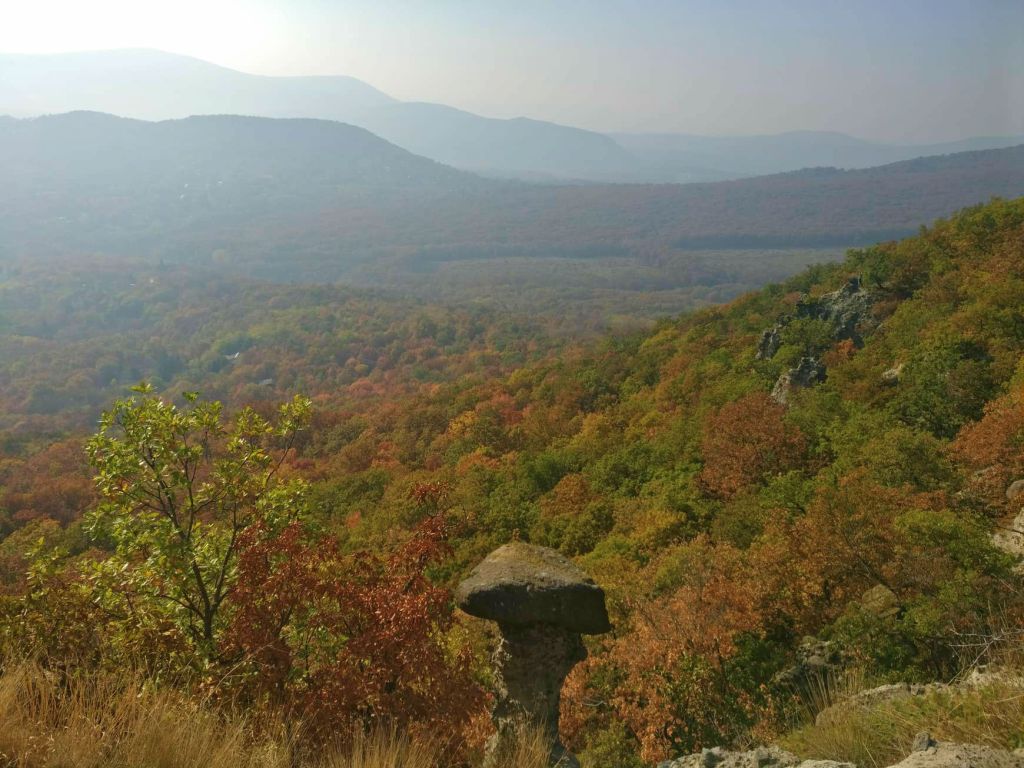
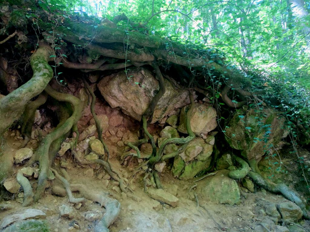
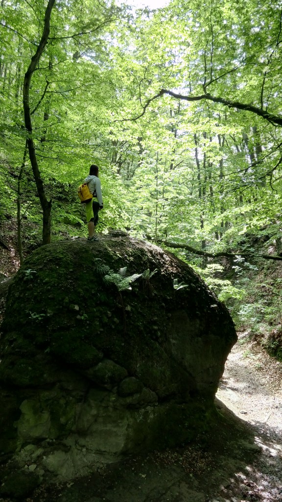
The gorge had an ancient athmosphere and I felt so little and inconsequential compared to the great rocks, formed by unimaginable forces a long, long time ago. 


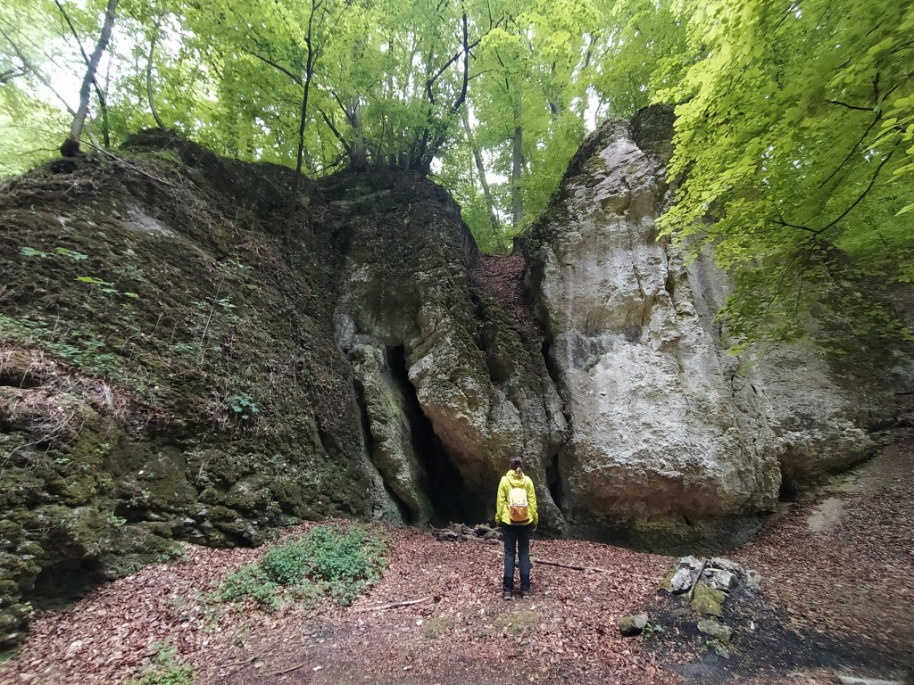
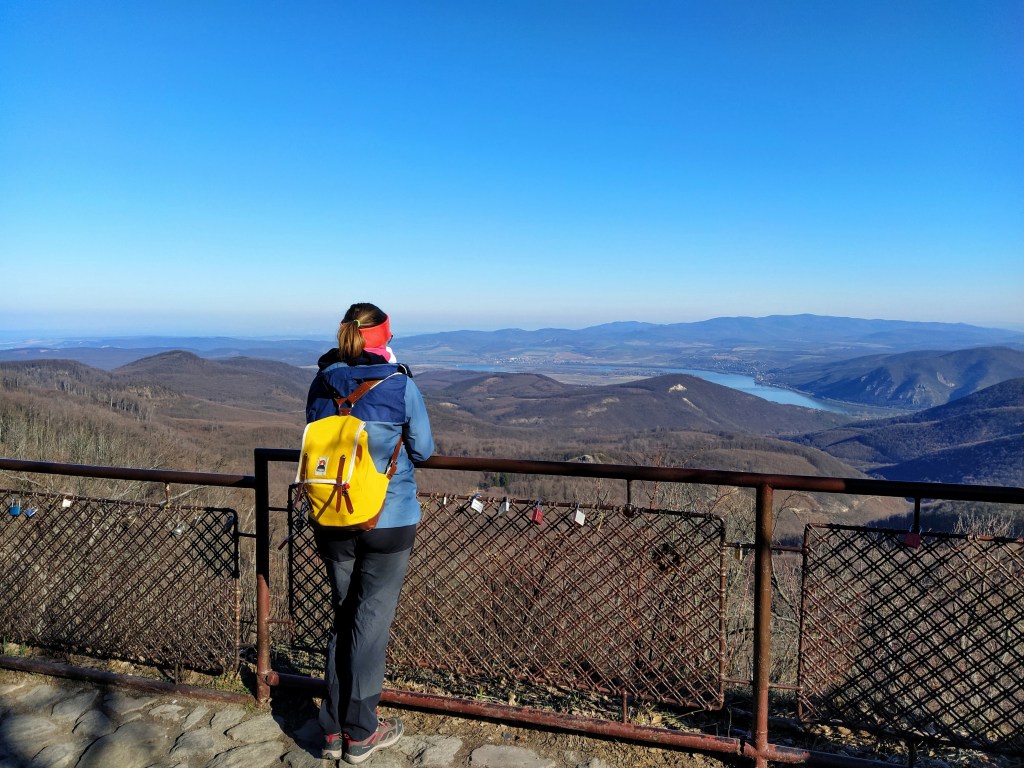
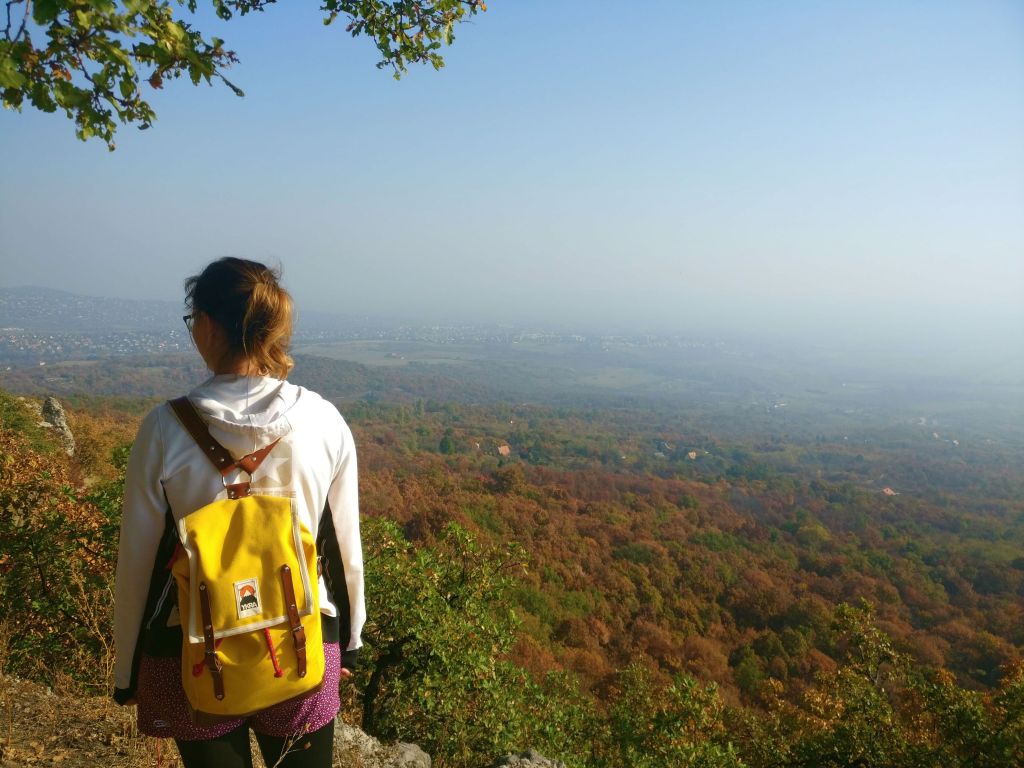
I really loved this outing, I can understand why this is called one of the most picturesque ravines in Hungary. Give it a try if you can. 

Pes-kő-barlang: A cave with a view

Details of the walk:

Distance: 5 kilometres
Route:http://out.ac/ozjdr (GPX and KML formats are available)
How to get there: By public transport: bus 8406 from Tatabánya
By car: Parking next to the road between Vértestolna and Tarján

We did a short outing ( 4,8 kilometres so I wouldn’t even call it a hike )to discover a hidden spot tucked away in the countryside.Our destination was a cave hidden in the Gerecse mountain, around a 1 hour car ride from Budapest. You might wonder, why drive for an hour for a short walk when the prize at the end is only a cave. Keep reading and you will see that this is no ordinary cave.
We left our car (a.k.a the Small Red Fireball) next to the road between the villages of Tarján and Vértestolna. The spot is hard to miss as it’s an intersection for several hiking routes so watch out for the yellow path signs.

The path leading to the cave is not an official hiking route but someone sprayed an omega sing on two trees at the intersections to show the way ( plus we’re living in a modern, digital age so we had the GPX route on our phone). As we walked along the wide dirt path, I was like a child wandering around a candy shop, every nook of the place held a new discovery: a cute little flower,a rabbit hiding among the trees, a dung beetle labouring tirelessly.


The trees recently donned their brand new, 2020 dresses, the young leaves had that lush, green colour that we only see during spring. The whole forest was alive with sounds- not men-made ones as we were the only ones there – birds were eager to show off their repertoire, bees and all kinds off flying things were buzzing.
We left the dirt road after a clearing with two hunting stands at each side and walked deeper into the forest on a narrow and somewhat overgrown path.
Among the trees we could already see the fields stretching in the distance so we knew that we’re close to our destination. A narrow stone corridor led us to the edge of mountain and suddenly I didn’t know where to look. In the distance we could see the mountains of the Vértes and emerald fields stretched before our feet.


Now, without further ado let me introduce you the Pes-kő-barlang (Pes Stone Cave) situated in limestone wall of the Gerecse and reachable via a narrow stone ledge. At around 350 metres, the height is not staggering on paper but when looking down from the edge it seemed much more so we we walked cautiously toward the cave.

Someone was obviously living there or judging by the amount of little, brown “stones” all over the place and the strong animal smell, multiple someones. Therefore to avoid any awkward encounters, we didn’t venture deeper.

We spent around 45 minutes at the ledge to allow ourselves enough time to take in all the view and to take a few hundred pictures ( you can never have enough photos in my opinion, although my Google Drive would beg to differ but I try to exclude such negativity from my life), then we went back to the car on the same route.

Dobogó-kő – The beating heart of the Earth

Yellow backpack and the view from Dobogó-kő

On a crisp March Sunday morning we set out to conquer Dobogókő and the surrounding area.As this is a popular destination during the weekends, we arrived early to avoid the crowds. We were not wrong in our thinking, in the morning we had the whole place almost to ourselves, later when we got back it was swarming with people.
Dobogó-kő with a hyphen (in literal translation Beating Stone or Stage Stone) is the highest peak of the Visegrádi mountains and of the Danube band with 699 meters. On a clear day one can see as far as the Tatras in Slovakia.
It’s unclear where the naming comes from, some say it’s a natural podium to gaze around, according to others, the Earth’s heartbeats can be heard from here. Naming aside, there is no doubt about one thing: the view of the surrounding mountains and the ribbon of the Danube river, paired with the unbelievably blue sky is absolutely breathtaking. I could have spent days there without getting bored of the panorama.

Despite the sunlight, the weather was quite chilly so after admiring the scenery, we took a little detour at the tourist house. I was quite taken with the interiors, old photographs, vintage hiking apparel mounted on the walls, it felt like travelling back a 100 years.

After a quick warm up (me) and a coffee (my boyfriend) we were ready to get the hike started.
Although soon as we stepped out of the tourist house, I got distracted by a group of cute little green birds, as a wannabe ornithologist I spent – to my boyfriend’s great pleasure- 10 minutes trying to shoot a nice photo of them but it was not meant to be. I’m guessing they were greenfinches but without photographic evidence, we will never know for sure.
After this struggle, we finally started our hike by taking briefly the path behind the tourist house then turning left at the wooden gate that led us down to the Mary Shrine of the Deaf.

From here the trail descends slowly into the valley below Dobogó-kő. Ancient beech trees surrounded us as silent sentinels and the area was dotted with cone-shaped rocks, the results of long ago volcanic activity.
Of course, I couldn’t miss the opportunity and climbed on to one of them, I am really like a child sometimes, I have to climb up everywhere and in the excitement I ignore the fact that I’m scared of heights.

At the base of one of the rock cones, where the green and the yellow path part ways, we took green one and continued our descent as the forest slowly changed around. Still beech trees but relatively younger ones and whole lot more of them. At this point, I already knew that we will have to pay the price of all this walking downwards when we would have to mount back.

A little while later, we arrived at the clearing of the Nagyboldogasszony spring, which had in my opinion a cute but according to my boyfriend an eerie, well house. 
The sun was streaming through the trees, birds were announcing that spring is around the corner as we strolled along the valley and then on a wide dirt road towards the Rám hill.

The ‘entrance’ to the hill is marked with a lovely carved wooden gate. A short but steep upwards hike later, we reached the bare hill top. Nice view, but in my opinion it can’t beat the one from Dobogó-kő. Although, if photographed from below, the rocks had a Lion King feel to it. ♫ Naaaants ingonyama bagithi Baba ♫ Sorry got carried away for a moment.

The next leg of the hike took us through the area of the Three Springs, as the name suggest we crossed over three brooks. Due to the dry weather there wasn’t much water in them, so getting over was not a big thing. We were directly ‘above’ the Rám precipice which is one of the most popular natural attractions in Hungary, and a star of student field trips. If all goes as planned, we will go there this summer at the crack of dawn, cause I don’t want to stand in line during a hike. Anyway, back to our trip, where was I… oh yes, the Three Springs.
After successfully crossing all three of them, we arrived at an intersection, where we kept following the green sign in the direction of the Szakó nyereg ,Szakó (mountain)saddle. Not long after the junction, we crossed over the upper part the Lukács Trench. The descent is facilitated by wooden stairs and I loved it, I have no idea why but these ‘natural’ stairs always give me a buzz, I guess it’s one of my strange perversions.

Right after the trench, we had a chance to quench our thirst at the Júlia spring. I love the taste of fresh water and yes, it does have a taste, I don’t care what the infidels say, so I took the opportunity to drink as much as I could. 

After the refreshment, the time of reckoning came as we started to climb back up to the mountain top, eventually leaving the green path for the red one that would take us back to our starting point. Thankfully, on the hike up we found to resting  areas, first the Ilona pihenőpont at the foot of the Tost rocks, then at the obelisk mounted in the memory of Tost Gyula. I’m not sure why the rocks were named after him, so if you have more information on that, let me know.

We made our way back to Dobogókő and closed our roundtrip with another lookout point, named after Rezső Tirts ( an activist of the Hungarian tourist movement) and we were rewarded with another magnificent panorama of the surrounding area.

Details of the walk

Distance: 8,2 kilometres
Elevation: 297 metres
Route: http://out.ac/ozjdr (GPX and KML formats are available)
How to get there: By public transport: bus 860 from the HÉV station at Pomáz
By car: Just enter Dobogókő into the GPS

National Blue Trail –  Hike and the City

We finally started the Blue Trail (Országos Kéktúra), which is a rather well known hiking route in Hungary. Before I dive into our hike, I’d like to write briefly about the Blue Trail itself. In a nutshell, a path of 1168.7 kilometres runs through the northern part of the country, the main aim is to better acquaint the hungarian countryside, the local sights and of course to entice people to spend more time outdoors. Divided into 27 parts, the hikers collect stamps along the way in the dedicated Blue Trail notebook as a proof of achivement. Each stamp is different, the image depicts the place where it is placed.
Let me tell you, stamping is really satisfying and the collector in me rejoiced everytime we added a new one.

As we just started this “quest”, we chose the shortest leg (only 14.3 kilometers) which is also the closest to where we live in Budapest. A wise decision as we are still in couch potato mode after the winter months of eating and sleeping.

Blue Trail sign on a rock

Itinerary

This blog post will be different from the previous ones as the blue routes are so well marked, I see no point on telling the exact directions, but rather an account of my experiences.The part of the trail that we completed, goes from Hűvösvölgy( Budapest) to the Rozália brick factory at Üröm.We started from the station of the Children’s Railway and immediately collected our first stamp and you know what they say, you never forget your first one.


After watching the cute, old train leaving the station , we started the hike by crossing the road and then off we went into the forest. I immediately felt better, nature really is a balm for the soul. A few birds were already calling for spring with their song, a woodpecker was working away on a tree somewhere, the plants already started to sprout. 

The path went along the edge of the glider airport, that morning the vast field was not used by gliders but dogs and their humans. At the edge of the field, we found a city border marker back from 1879 and a little bit further on another marker telling that the wildlife park of King Matthias used to be here. 

Our next stop was the Árpád viewpoint, from where we enjoyed the beautiful view of the city.  The viewpoint, which has a  Transylvanian vibe was built on 1929 and it’s a popular hiking destination in Budapest as it’s reachable with an easy walk and view is quite something. I couldn’t find anywhere the reason for naming it Árpád, as neither the designer, nor the sponsor was called thus. Then in a Wikipedia article I happened upon the information that supposedly the tomb of chieftain Árpád is at the base of the mountain. So, we will go with this one.

The next part of the hike was really exciting to me as we climbed up to the Hármashatár mountain (although I feel a bit silly calling these mountains as the highest point is 495 meters, so maybe very high hills?) and I got a closer look on the radio tower, the one I have been watching from my appartment’s window for the last 5 years. It feels good to know what’s up there plus now I have a tale to tell to whoever comes over.

The literal translation of Hármashatár is triple border as until 1873, the mountain top was the common border of Buda, Óbuda and Pesthidegkút.
Up on the top can be found another viewpoint in the shape of octagon, named after Glucker Károly. Another bird’s eye view of the city, a different part this time, a one closer to home as we watched the district where we live from above.


In the last part of our hike, we first went down and then up to Csúcs-hegy (Peak mountain) I would have preferred to skip to going down and then up again after climbing up to Hármashatár mountain, but without climbing up, you can’t enjoy the view (I’m such a wise woman).

It felt exhilarating to leave the four walls and to stretch out our limbs,  even though we’re sadly out of shape. My legs felt like they were made of metal by the end and I was craving something sugary.The weird thing is that a year ago I wasn’t really into hiking and now I’m hooked and addicted to them. If we skip several weekends,  I start to become edgy and not so nice to live with.  Thankfully, we have 1154 kilometres of trail to complete, so we won’t get bored.

See you at the next leg of the Blue Trail and don’t forget: Feeling Blue? Hike the Blue!

Stamps in the Blue Trail notebook
The stamps we collected during the 14th part of the Trail

Vasas-precipice where the mountain swallows you up

Autumn is full-on with it’s eye-pleasing colors and with a weather that is ideal to get out from between the four walls and have an invigorating hike in nature.
I was searching for our next destination in the region and happened upon one with several springs, fascinating rock formations and a narrow precipice, my interest was piqued straight away. The hike itself did not disappoint, I was buzzed up all along the way.

Details of the walk:

Distance: 8,1 kilometres
Elevation: 270 metres
Route: http://out.ac/ebbWa (GPX and KML formats are available)
How to get there? By public transport with bus 868 from Szentendre. Check the timetable as it only passes by once a day in each direction. By car on a bumpy road from Szentendre, enter Lajos-forrás in the GPS to get there.

Itinerary

The round trip starts from the Lajos Spring, an intersection of 6 different hiking trails. According to the legend King Louis (Lajos) the Great liked to hunt in the region, but the spring wasn’t named after him. The basin of the spring was built in 1908 and was named after baron Lajos Podmaniczky, owner of the area and the hunting lodge.Next to the spring stands a now-abandoned tourist house where we start our walk on the yellow path.

Shortly after the tourist house the trail turns left and after a few stairs overgrown by plants, reaches an immense clearing dotted with campfire spots. We crossed the clearing and continued on the yellow trail into the wood.

The sunlight filtering through the vibrantly yellowing crowns of the tall trees, the crisp autumn air, the sound of the leaves softly falling from the branches, I had the feeling of walking in a still-life painting. No other human being could be seen or heard, a fact that only enhanced the incredibly calming experience.

A short while after crossing the asphalt road, opens the yellow+ trail that turns to the left leading to Cseresznyés-Völgy ( Cherry Valley) but our route continues on the yellow sign. Winding through the colored forest, I was in awe of all the shades of my favorite color, yellow (surprise, surprise).
The yellow O trail leads the second spring of our hike, the Csepel Spring. The name pays tribute to the workers of the Weiss Manfréd Acél- és Fémművek (Manfréd Weiss Steel and Metal Works), or colloquially Csepel Művek (“Csepel Works”) who used to hike here frequently. It is nested in a small valley between towering beech trees and giant horsetails. On the beech trees along the path, we found carvings from the 70s.

A few minutes after returning to the yellow trail, reaching another intersection, we took a little detour on the yellow Ω track to the Vasas- szakadék (Vasas-precipice). For me, this was the highlight of the hike. The formation is made of 8 meters high andesitic tuff and you get ‘swallowed ‘ by the earth if you walk into it. The sides of the ravine are less than 2 meters apart so by extending my arms I could reach both of them. Places such as Vasas szakadék, bring out the not so deeply buried child in me, I just want to explore them and discover more of their hidden secrets.

 After we have sufficiently checked every nook of the precipice, we went back to the yellow path and continued our hike up to the Kő-hegy ( Stone Hill).

On the top, we found a lovely tourist house that has been open and serving the hikers since 1933. The inside of the house is also charming with old signs and hiking accessories from the past. To refill our batteries, we decided to sample their kitchen and have a little rest, I really recommend their goose greasy bread with red onions ( Hungarian specialty) and crépes.

The plateau gives a great view to Szentendre, or so I’ve read because on the day of our hike, the town was hidden by a thin layer of fog.With our bellies full, we pushed on to complete the second half of the trip.
Across the clearing starts the green signed trail that took us to the rock formations and the Petőfi viewpoint. According to the memorial plaque the famous Hungarian poet, Sándor Petőfi took a brief rest here when he was hiking in the area with his friends. Even with the mist, the view was quite nice and the area’s most interesting rock formations can be seen here: Mushroom rock or more commonly known as Napoleon’s hat.

The green trail zigzagging down from Stone Mountain takes us into a valley, where we found our third spring of the day, named János Spring. Next to it we found a tiny wooden bridge that was painted like a colorful rainbow by the Hungarian Two-Tailed Dog Party.

After a short upwards walk, we turned right on to the blue cross trail, which was the final leg of our round trip. Sometimes the path goes on a wider dirt road, sometimes it goes up to the woods. Be prepared, the final kilometers of the hike elevate sneakily so you can complete your cardio workout as well.

The gorgeous yellow and copper brown colors of the trees made the hike incredibly stunning but nature is always beautiful no matter the time of the year so get your backpack and give it a go.

Dera gorge

Not a fan of longer hikes but still want to get out of the city and immerse yourself in nature? Dera gorge is the destination for you.


Details of the walk


Distance: 1,5km
Duration: 30 mins
How to get there? By car: Coming from Pomáz, on the left there will be an unmarked asphalt road to the left, 3-4 meters after the 15 kilometers signpost
By public transport: HÉV until Pomáz then bus 860,861 until the first stop in Pilisszentkereszt ( in this case you will start your hike from the village until the other end of the gorge)

Signpost near the car park
Signpost showing the way from the car park


As confessed in a previous blog post, I have an inexplicable attraction to gorges, so after finding out that Moonlight-dike (Interested? Check out the post of our hike )is not the only one in the vicinity of Budapest, it went straight on to my bucket list.
The name itself means chams and was given by the serb minority living in the area.
The walk takes us along the Dera stream’s (less known name Kovács stream) bed on a well-trodden path, through charming wooden bridges. The whole gorge has a fairy tale feeling to it, with the big limestone rocks and the trees growing everywhere. The place could easily be a backdrop for a Snow White movie. As we went there in the middle of summer,the stream itself could only be seen in a few places, the soft gurgle of the water enhanced the calm, romantic atmosphere and the canopy of the trees provided a much needed shelter from the scorching sun.

This is also a short blog post, just as the hike itself, and unlike our previous treks, this is not a round trip, from here if you wish, you can continue on the trail and walk a little more until the village of Pilisszentkereszt or go up to the tourist house of mountain Som.

Tihany Peninsula, a unique natural treasure hiding in plain sight

Tihany is not unknown to tourists as it’s a popular destination famous for the Abbey, the quaint little houses and the lavender fields. However, the peninsula has much more to offer and the weaving net of hiking trails makes it easy to discover every part of it.
We wanted to pack as many sights into one day as possible so we chose the long route that snakes around the peninsula. I had my doubts before we set off as 13 kilometers with hill climbing seemed quite ambitious for a beginner hiker but we completed the route within 4.5 hours and the whole experience was highly rewarding.
 We, Hungarians love to say that the Balaton is the Hungarian Sea, which I thought to be a boring cliché but I stand corrected as throughout the day I had the feeling that we’re walking alongside the sea. The unbelievably blue water sparkling in the sunlight and dotted with white sailboats and the cicada chorus reminded me of Croatia or Greece.
We experienced varied geological scenery, lakes, fascinating rock formations, hills and a landscape that is bursting with life, rare plants, butterflies and dragonflies.  What more do you need? Let’s explore the area, this route is only one of the many you can choose from, so ready, steady, go!

Details of the walk

Important: Maybe it goes without saying, but sunscreen and some sort of cap is highly recommended during the summer period as the trail doesn’t always go in the shadow of the trees and the sun does not mess around these days
Distance: approx. 14 km 
Route:
http://out.ac/dLHOx (GPX file is available)
Duration: 4,5-5 hours in a confortable walking speed

The itinerary: 

We set off from the Inner Lake and right away had a slight detour as we spotted a Hungarian Grey Cattle herd (an ancient breed of domestic beef cattle indigenous to Hungary) and of course I had to get a closer a look. 

 The first stop of our hike was the Akasztó-domb, (Gallows hill)The name speaks for itself, this was the spot where the gallows pole was erected. Today, the hill gives a nice view of the bay below. 
We got to the Akasztó-domb by walking along the Aranyház street, crossed the main road and from the parking place (with a few little wooden cabins as a farmer’ market is located here) we took the green line trail.

Walking up to the Gallows Hill


We followed the trodden path that led us back to the main road, which we crossed little further down to the left at the sign Ferenc Pince csárda and we kept following the green line sign straight ahead. There are marked intersections at regular intervals so no matter which hiking trail you decided to take, you won’t get lost.
As we didn’t want to miss to geyser formations,we followed the signs leading to the Aranyház (Golden House), which is one of the most well-known of the geyser formations.

After around 20 minutes from crossing the main road, we reached the geyser field area with several geyser cones, created by volcanic activity a million years ago. The cones take all kind of shapes and sizes and I’m fascinated by their cute names: Peastone cone, Hatted Cone, Tunnel Cone,Badger’s Castle (Borsóköves-kúp,Kalapo-kúp,Átjáró-kúp,Borzvár in Hungarian). The highest one, referred to as the Golden House due to the yellow moss that grows on the surface, gives a spectacular view of the peninsula.

From here, we followed the yellow cross sign leading to Hálóeresztő(couldn’t find a decent translation of this word, it basically means ‘let the net down’). On our way, we passed another interesting geyser cone, the Borzvár( Badger’s Castle) and after arriving to Hálóeresztő at the Half-Cut Cone, we turned right to the yellow line path, which took us to Csúcs-hegy (Peak Mountain).

The path led up and down, through the Szarkádi-erdő (Szarkádi forest) with tantalizing glimpses of the cool Balaton water. At one point, we reached a forest school, where we turned left on the stone road and then to the right following the marked path up to Gurbicza peak, which rewarded us with breathtaking views (literally as we had climb to 174 meters).

Just before we reached the peak of Peak Mountain ( please don’t hate me for the bad pun), we stumbled upon a cave, which according to the folklore was used by the famous outlaw, Jóska Sobri. Before you reach the cave, there’s a junction, take the trail to the left. 

We continued along Nyereg-hegy (Saddle Mountain), which is a narrow cliff ridge connecting the Peak mountain to the Apáti mountain.
Here, I enjoyed a Lion King moment with my new buddy Mr. Dragonfly, 10 points if you can find him in the picture. 


Soon after, we reached Őrtorony Lookout Tower from which we enjoyed a birds eye view of the area and had a much needed rest in the cool breeze. 

Panorama from the Lookout Tower
Őrtorony Lookout Tower

Then we started the final leg of our hike, crossing through the fields between the Outer and Inner Lake, finally reaching a lavender field. I did not particularly enjoy this part as at this point we were craving fresh water not just to drink but also to wash down the dirt of the road. When at last we dragged ourselves up to the village of Tihany, salvation arrived in the form of an ice cream, one of the best I had in my entire life.All in all, we had a wonderful day with scenic views and relaxing bird chirping.

Moonlight-dike, a mystical place hidden within the forest

For some reason, I always had an inexplicable affinity for gorges, loved to explore them when we went abroad but never really thought that I can find one so close to my home. Therefore I got really excited upon discovering the Moonlight-dike ( Holdvilág-árok in Hungarian): a beautiful forest, fascinating rock formations, proximity to Budapest; the ingredients for a great excursion. So I packed my yellow backpack and we ventured out of the city to explore a place that looked gorgeous on the photos. The pictures don’t do justice to the Moonlight-dike, in reality it’s even more enthralling.
Crossing the stream on small rocks and fallen tree branches, walking along the gorge ‘corridor’ surrounded by steep walls, passing by trees with their roots visible. The whole place has an enchanted forest feeling, which is no surprise as long ago it was a sacred place and a burial site. Supposedly, here stood the city of Attila The Hun and Árpád (the head of the confederation of the Hungarian tribes) was buried here as well. 
I’m not a religious person but the forest did have a peculiar atmosphere, as if a fairy might pop out from behind one the trees at any moment. Sadly this did not happen but one can always hope.

Details of the walk: 

Important: Not advised to visit the gorge on rainy days or after a rainy period as the trails get slippery and the stream level rises. My bum wishes we would have heeded this advice because we did the hike after a few days of heavy rain and I slipped. Result: a quite muddy backside and a few scratches here and there. Conclusion: keep the advice of the hiking websites, they do know what they are talking about.
Distance: 5.3 km 
Duration: 2-2.5 hours with a comfortable walking pace

How to get there?
By car from the Pomáz-Dobogókő road approximately 400 meters after the Csobánka junction turn right. It’s a small, unmarked road, with a car park at the end ( although it would be closer to the truth if I described it as a clearing where you can leave the car but these are just semantics).
By bus, take the line from Pomáz to Pilisszentlászló, get off at the Csikóváraljai turistaház stop.

The itinerary
From the road,we took the path marked with the red line sign, the first part of the trail is quite overgrown but don’t let that discourage you.

Moonlight-dike, start of the path
Start of the red line trail

We followed this clearly-marked track that at one point took a right turn leading deeper in the woods. After about 15 minutes we reached an intersection with a sign reminding the hikers that everyone takes the walk at their own risk.

Moonlight-dike entry sign
Entry sign

At this intersection, we say goodbye to the red line sign and start to follow the red cross that leads us to the heart of the gorge. By following the stream, we arrived at a clearing, here a small sign told us that the Moonlight-dike is one of the 13 Hungarian Religious Memorial Points of the country.

After a short walk, we reached the Domini spring where we could quench our thirst with clear, fresh water.

Domini spring

From here, the trail becomes more adventurous and challenging, the gorge becomes narrower, the rocks bigger and the hikers have to tackle more and more wooden stairs and natural obstacles. This was one of my favourite parts of the walk as climbing around, up-down on the rocks, I felt like a little girl again. About a 1 km after the Domini spring, the red cross sign goes left up on the hill but you should continue on the trail within the gorge, otherwise you won’t see the most fascinating part of the whole walk. We foolishly followed other hikers thus missing the cave, the white rock walls and the climb up on the Meteor ladder. We re-joined the track at the top of the ladder.

The walk continued over a wooden bridge and then even though it seems the narrow canyon between the rocks is not passable, we kept on going as we’re badass ( also we had a map but let’s stick with the badass adjective). The canyon continues for 50-60 meters and going through it is a real adventure, especially if you cross it after a rainy period, I involuntarily tested the waterproof property of my new shoes several times.

Canyon start

At the end of the canyon, we took the stairs up to a small clearing, a few paces away we started to follow the green cross trail markers. The path starts to go down, crossing several times a wide forestry road. 10-15 minutes later we took the path marked with the green circle, which led us to another spring called Gyopár but don’t count on filling up your water bottles here, as the water only trickles from the spring. To the right of the spring, we followed the green square sign that led us back to the car park.