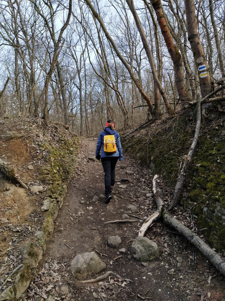
We finally started the Blue Trail (Országos Kéktúra), which is a rather well known hiking route in Hungary. Before I dive into our hike, I’d like to write briefly about the Blue Trail itself. In a nutshell, a path of 1168.7 kilometres runs through the northern part of the country, the main aim is to better acquaint the hungarian countryside, the local sights and of course to entice people to spend more time outdoors. Divided into 27 parts, the hikers collect stamps along the way in the dedicated Blue Trail notebook as a proof of achivement. Each stamp is different, the image depicts the place where it is placed.
Let me tell you, stamping is really satisfying and the collector in me rejoiced everytime we added a new one.
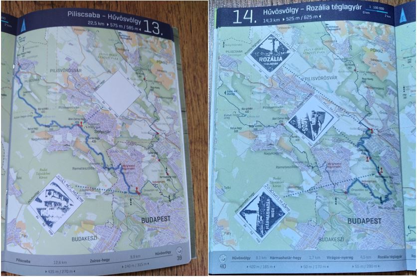
As we just started this “quest”, we chose the shortest leg (only 14.3 kilometers) which is also the closest to where we live in Budapest. A wise decision as we are still in couch potato mode after the winter months of eating and sleeping.
Itinerary
This blog post will be different from the previous ones as the blue routes are so well marked, I see no point on telling the exact directions, but rather an account of my experiences.The part of the trail that we completed, goes from Hűvösvölgy( Budapest) to the Rozália brick factory at Üröm.We started from the station of the Children’s Railway and immediately collected our first stamp and you know what they say, you never forget your first one.
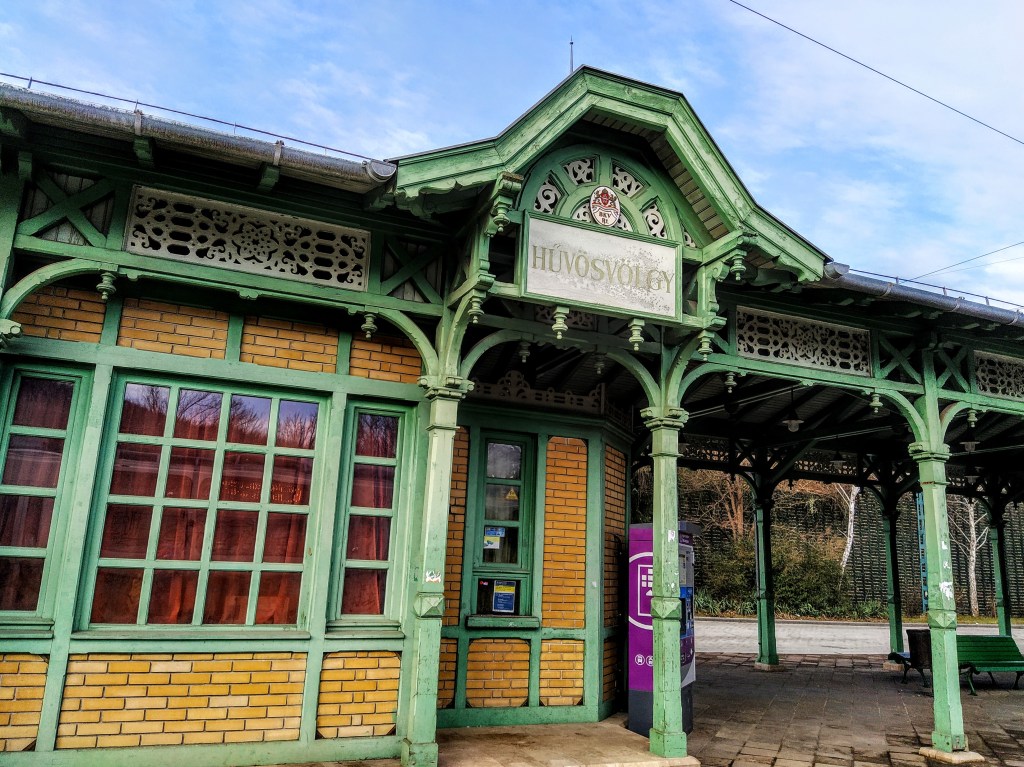
The public transport station at Hűvösvölgy 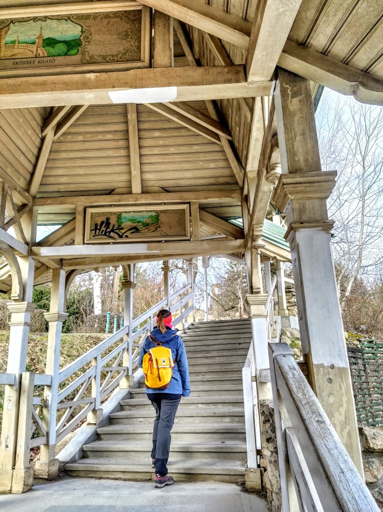
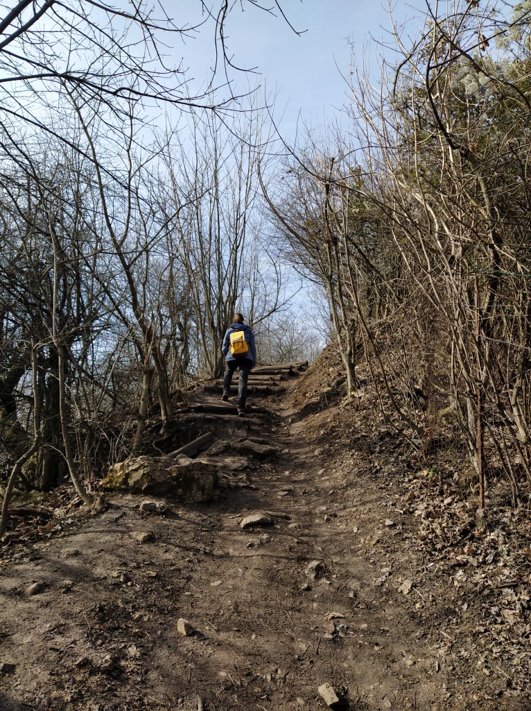
Stairway leading to the stamping point 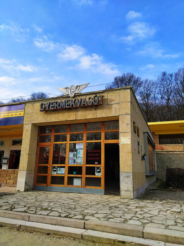
Retro vibes at the train station 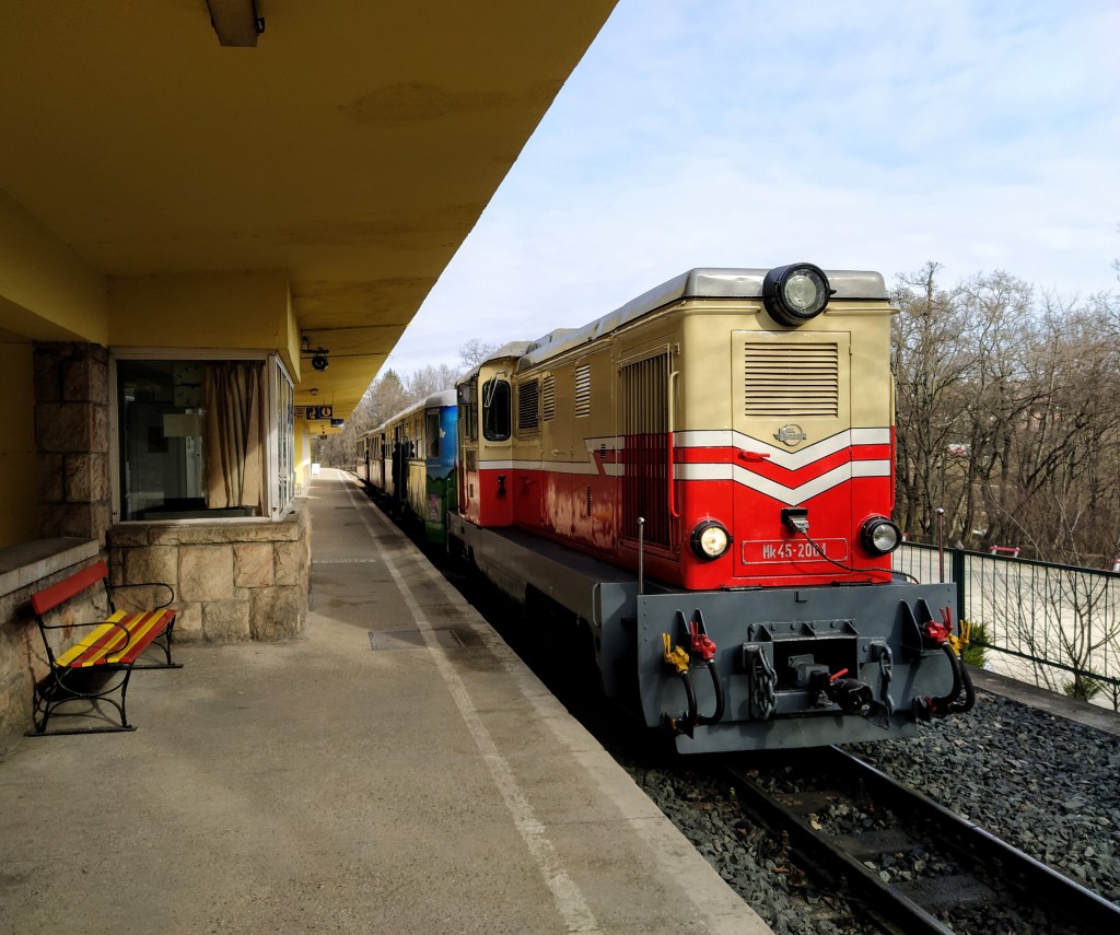
The train leaving the station 
Getting ready for my first stamp
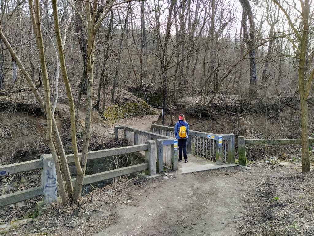
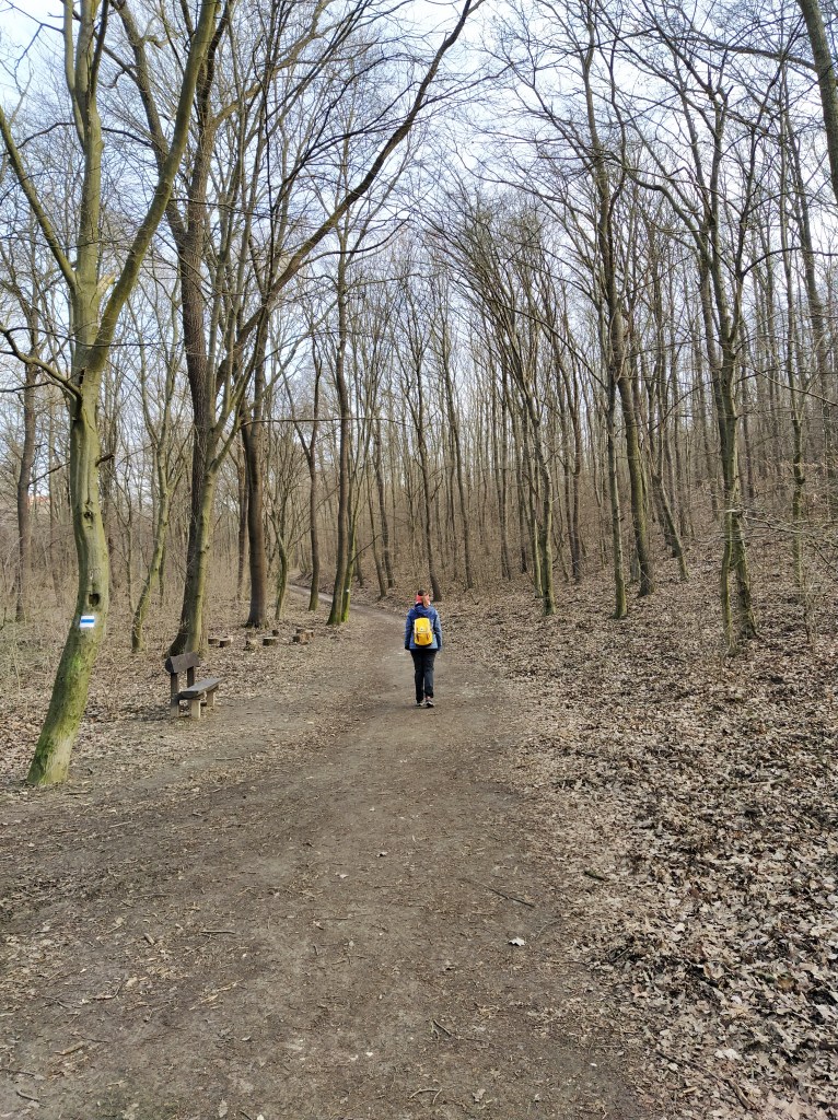
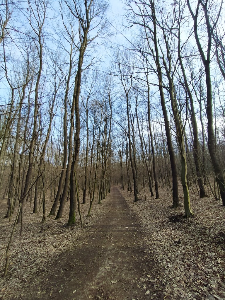
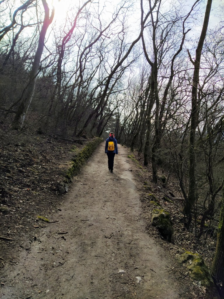
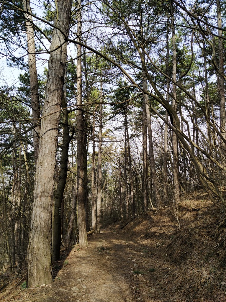
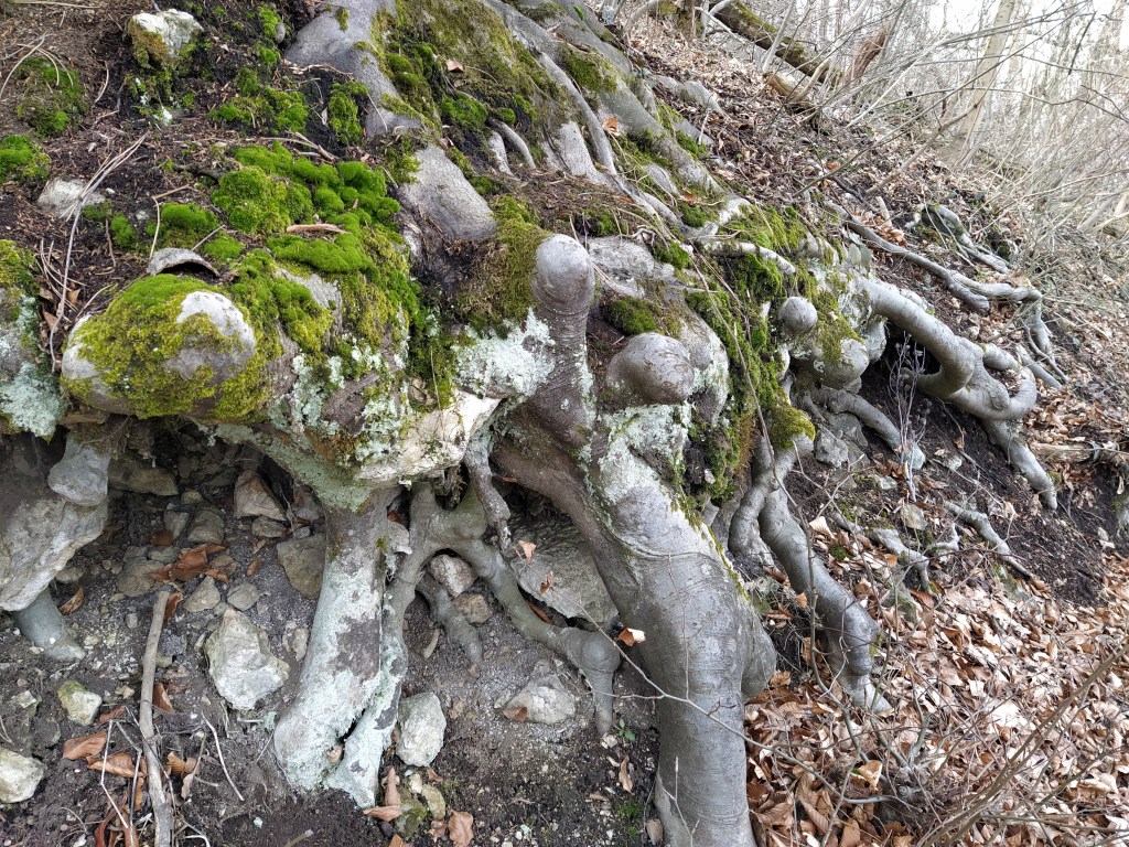
After watching the cute, old train leaving the station , we started the hike by crossing the road and then off we went into the forest. I immediately felt better, nature really is a balm for the soul. A few birds were already calling for spring with their song, a woodpecker was working away on a tree somewhere, the plants already started to sprout.
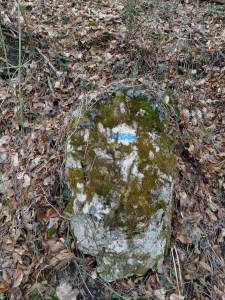
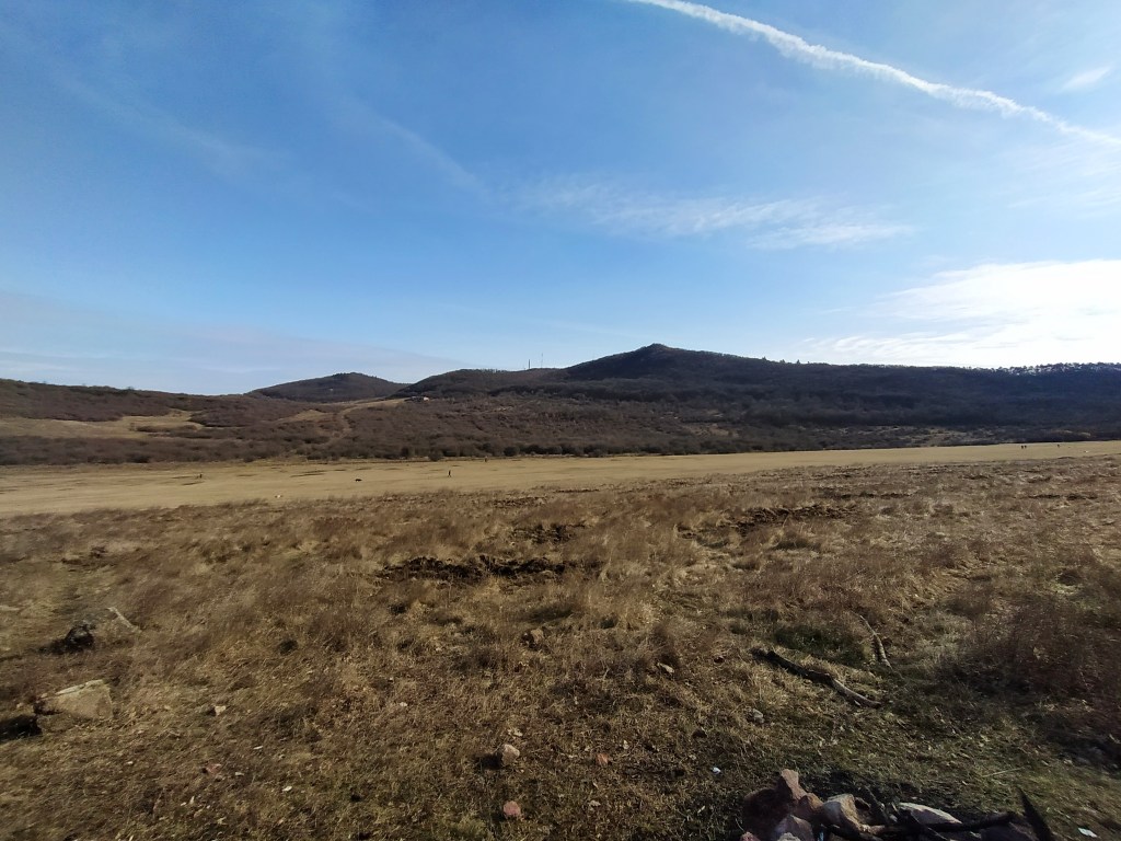
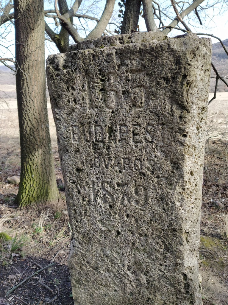
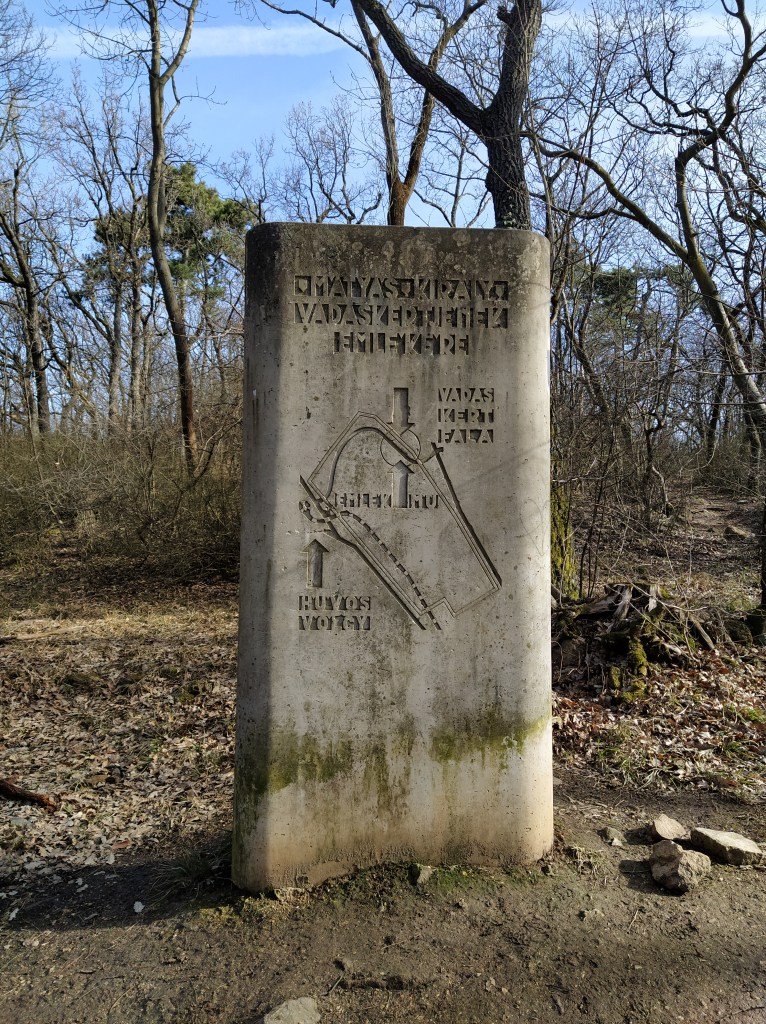
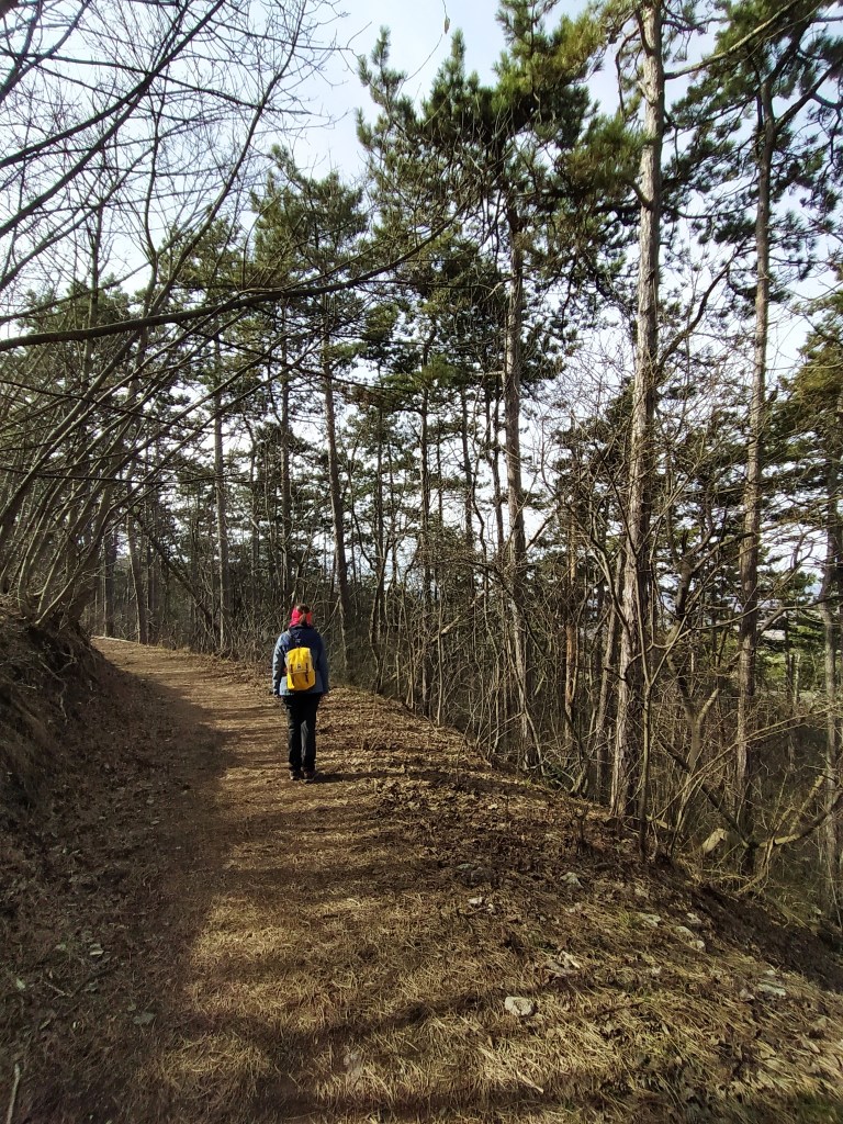
The path went along the edge of the glider airport, that morning the vast field was not used by gliders but dogs and their humans. At the edge of the field, we found a city border marker back from 1879 and a little bit further on another marker telling that the wildlife park of King Matthias used to be here.
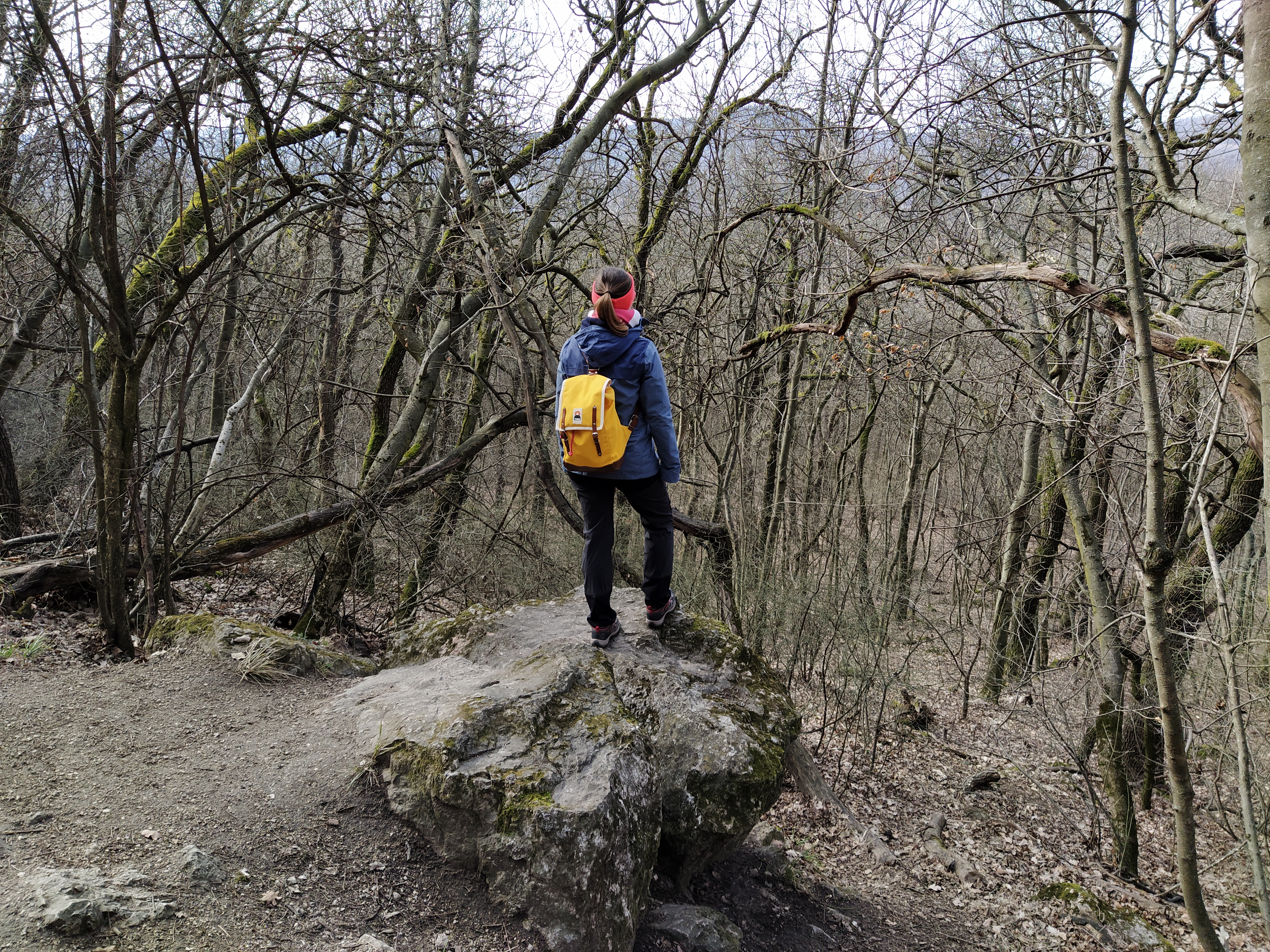
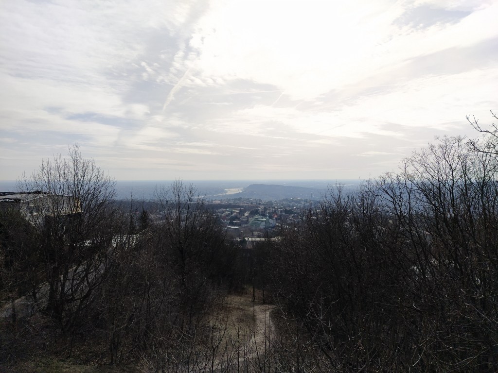
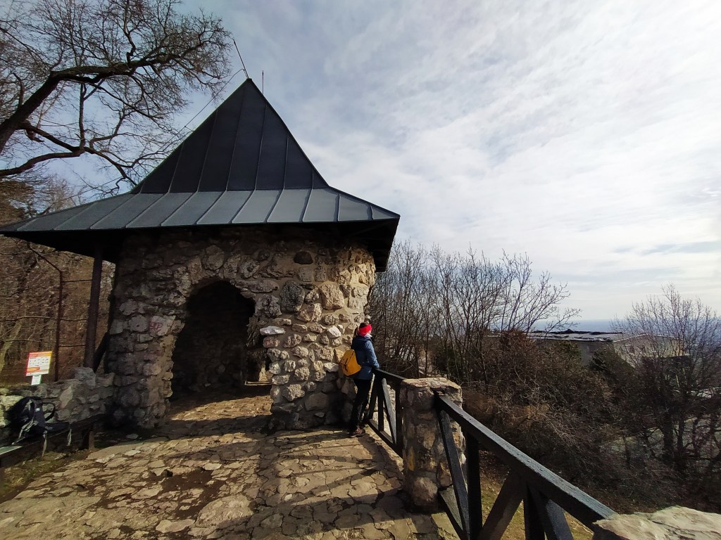
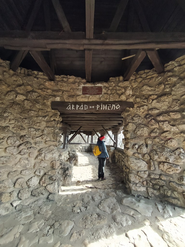
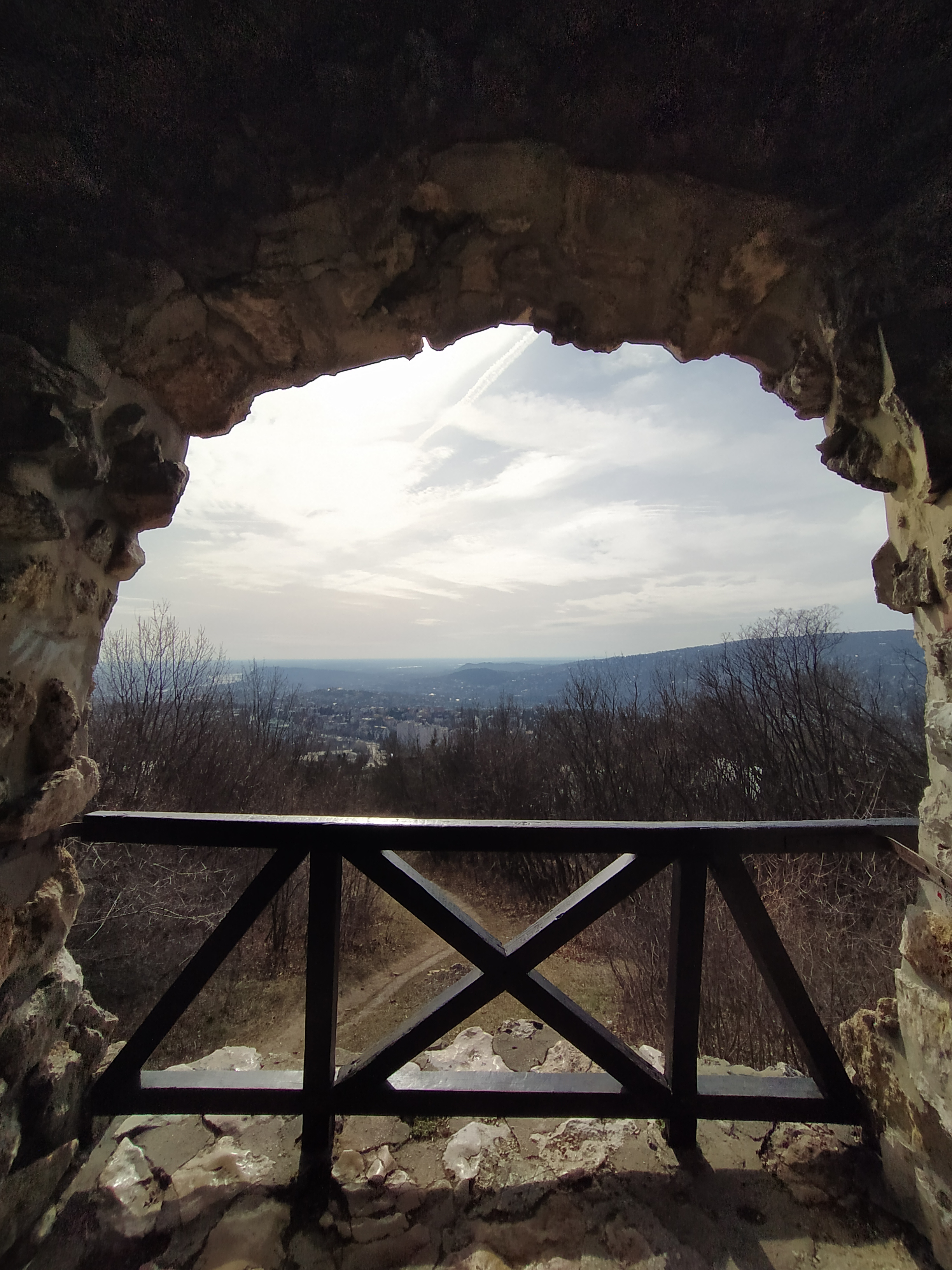
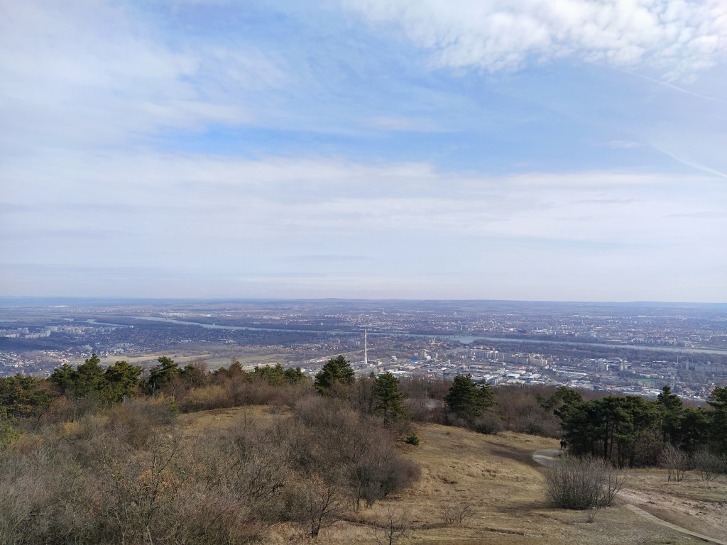
Our next stop was the Árpád viewpoint, from where we enjoyed the beautiful view of the city. The viewpoint, which has a Transylvanian vibe was built on 1929 and it’s a popular hiking destination in Budapest as it’s reachable with an easy walk and view is quite something. I couldn’t find anywhere the reason for naming it Árpád, as neither the designer, nor the sponsor was called thus. Then in a Wikipedia article I happened upon the information that supposedly the tomb of chieftain Árpád is at the base of the mountain. So, we will go with this one.
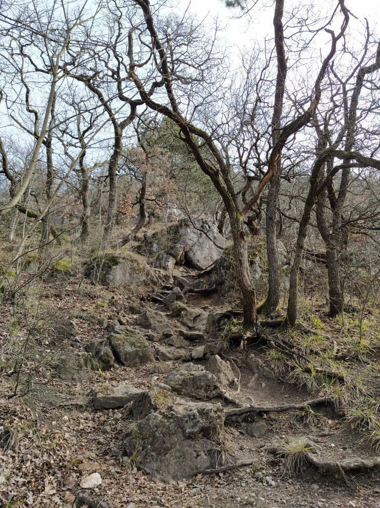
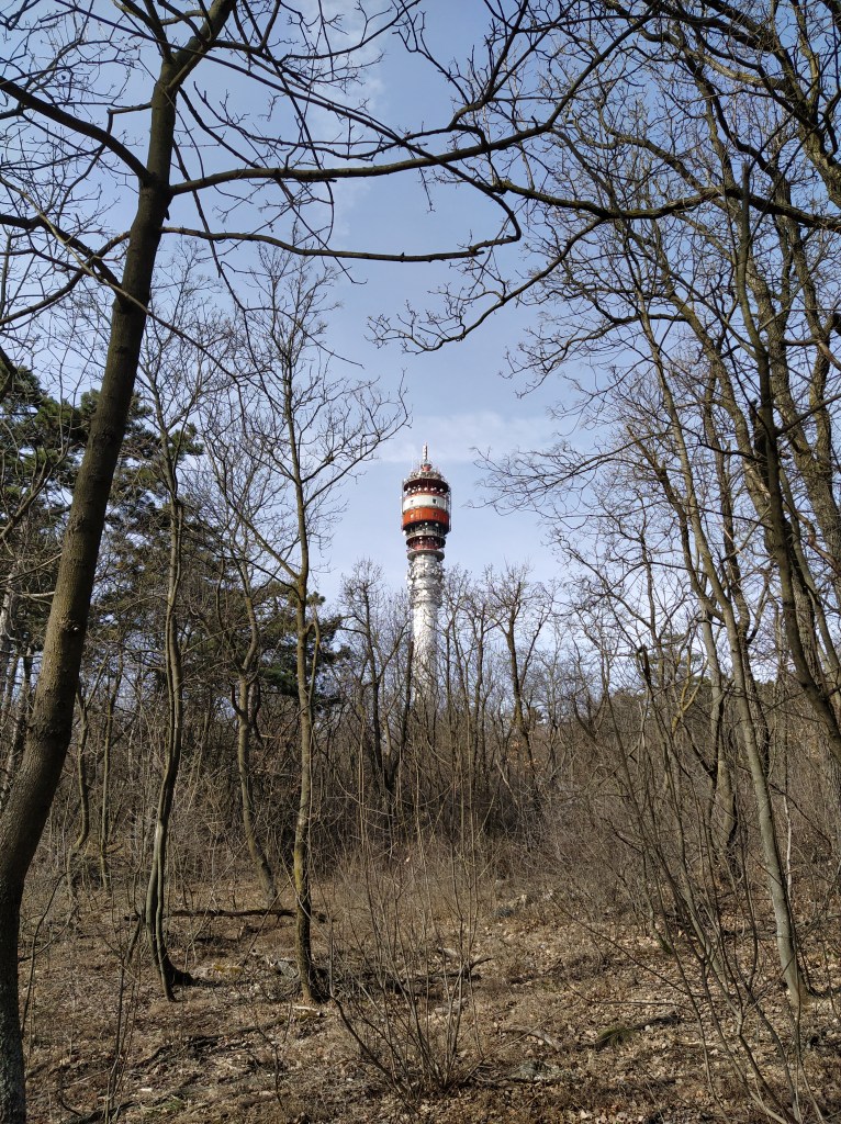
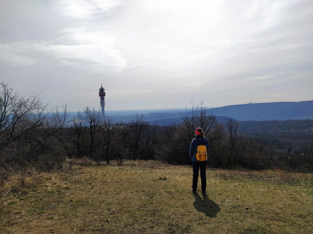
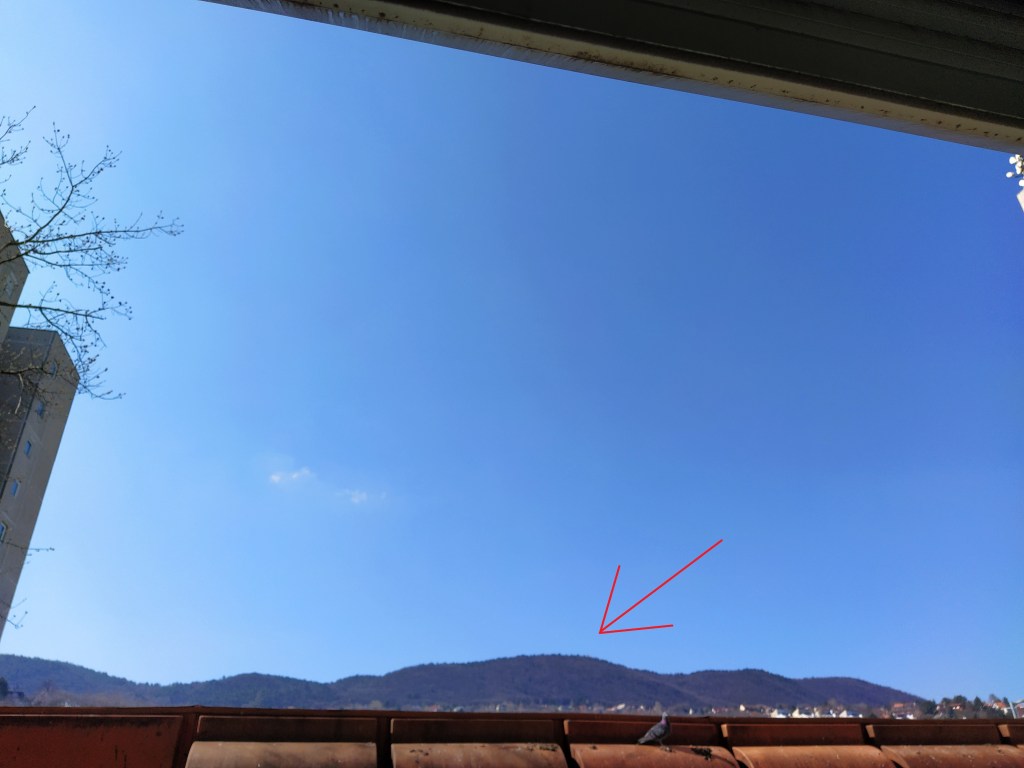
The next part of the hike was really exciting to me as we climbed up to the Hármashatár mountain (although I feel a bit silly calling these mountains as the highest point is 495 meters, so maybe very high hills?) and I got a closer look on the radio tower, the one I have been watching from my appartment’s window for the last 5 years. It feels good to know what’s up there plus now I have a tale to tell to whoever comes over.
Up, up, up we go 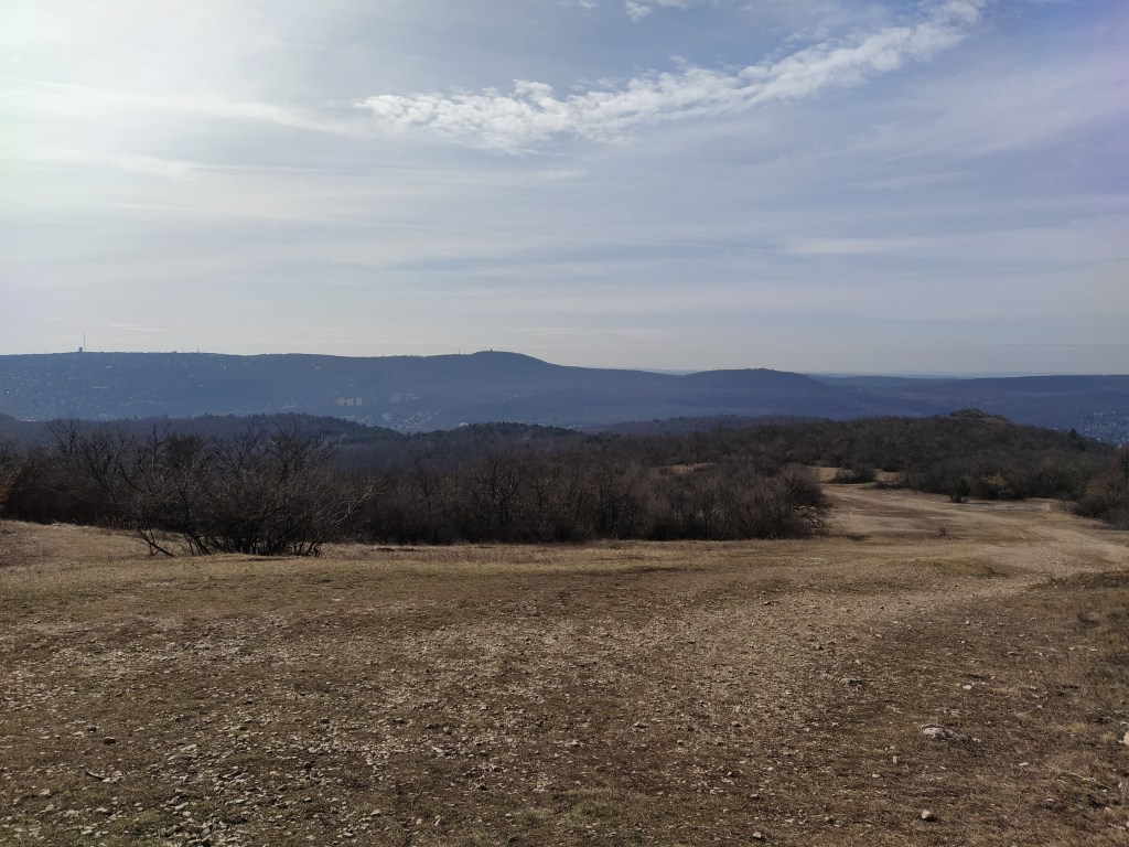
We finally meet 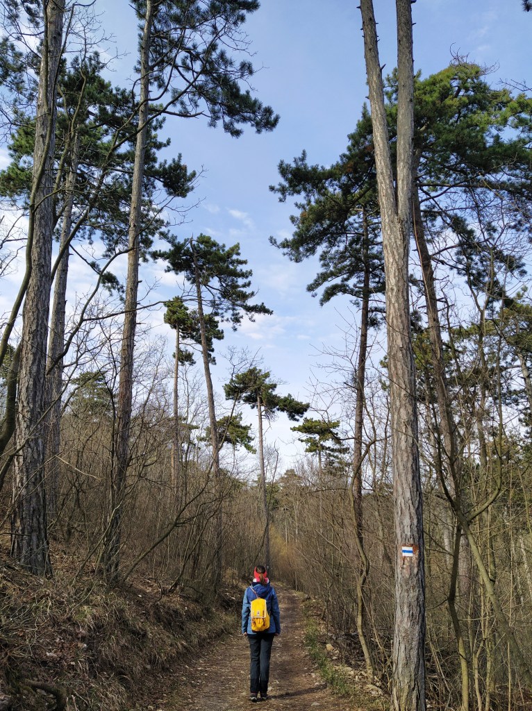
We were up there
The literal translation of Hármashatár is triple border as until 1873, the mountain top was the common border of Buda, Óbuda and Pesthidegkút.
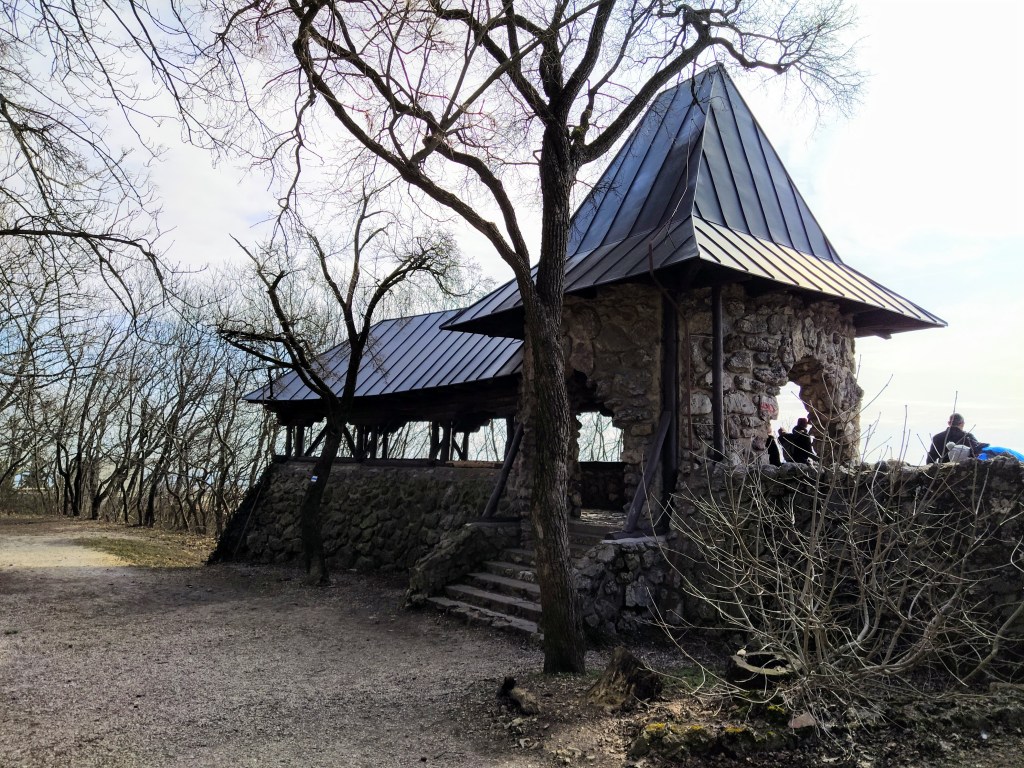
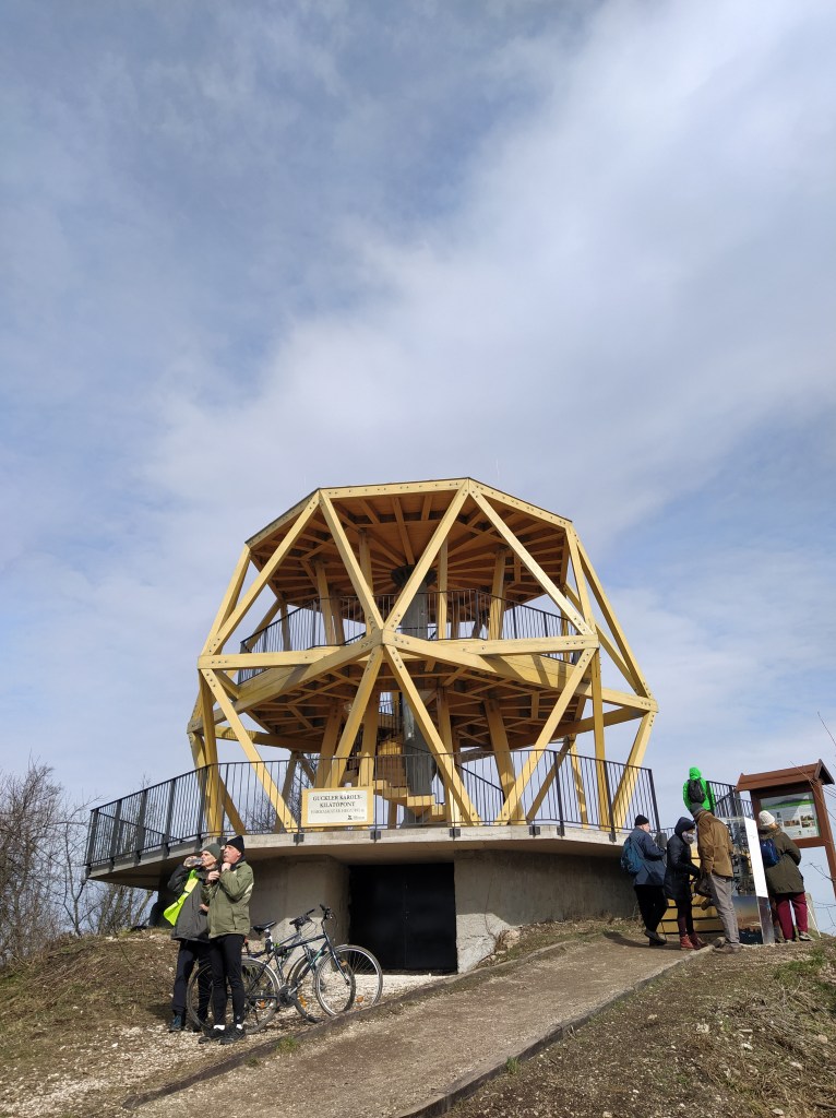
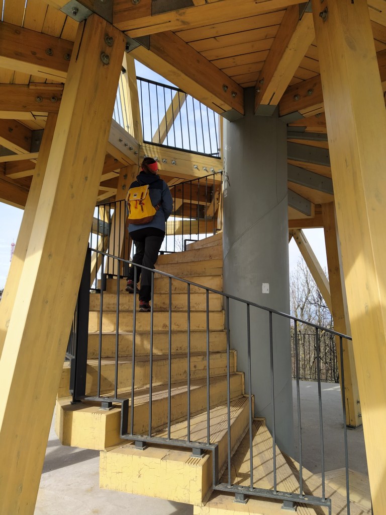
Up on the top can be found another viewpoint in the shape of octagon, named after Glucker Károly. Another bird’s eye view of the city, a different part this time, a one closer to home as we watched the district where we live from above.
Look to the left 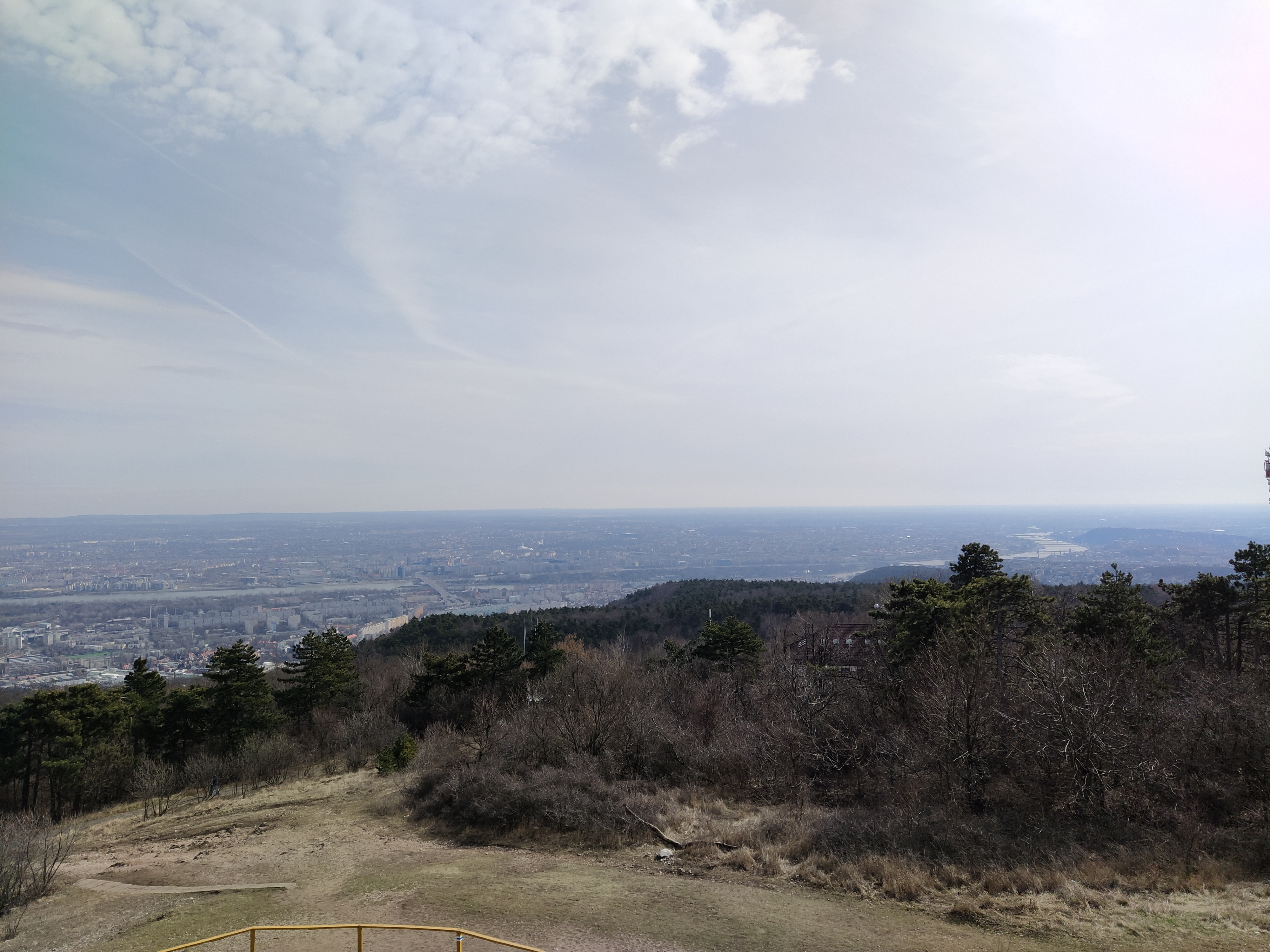
Look to the right
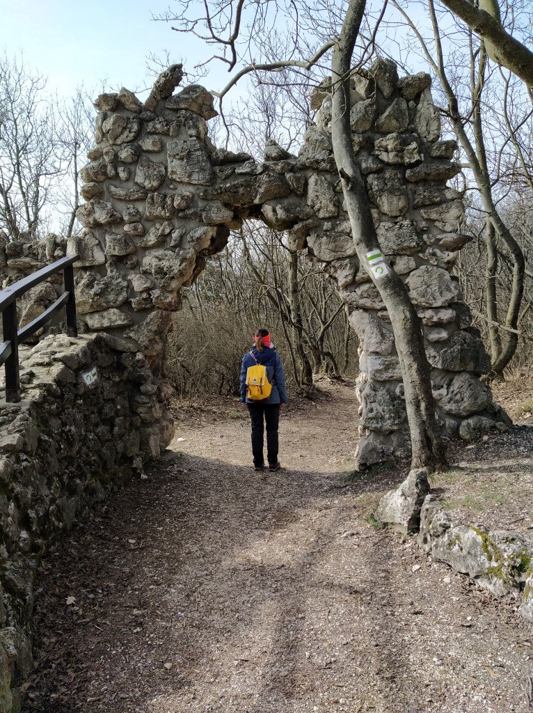
In the last part of our hike, we first went down and then up to Csúcs-hegy (Peak mountain) I would have preferred to skip to going down and then up again after climbing up to Hármashatár mountain, but without climbing up, you can’t enjoy the view (I’m such a wise woman).
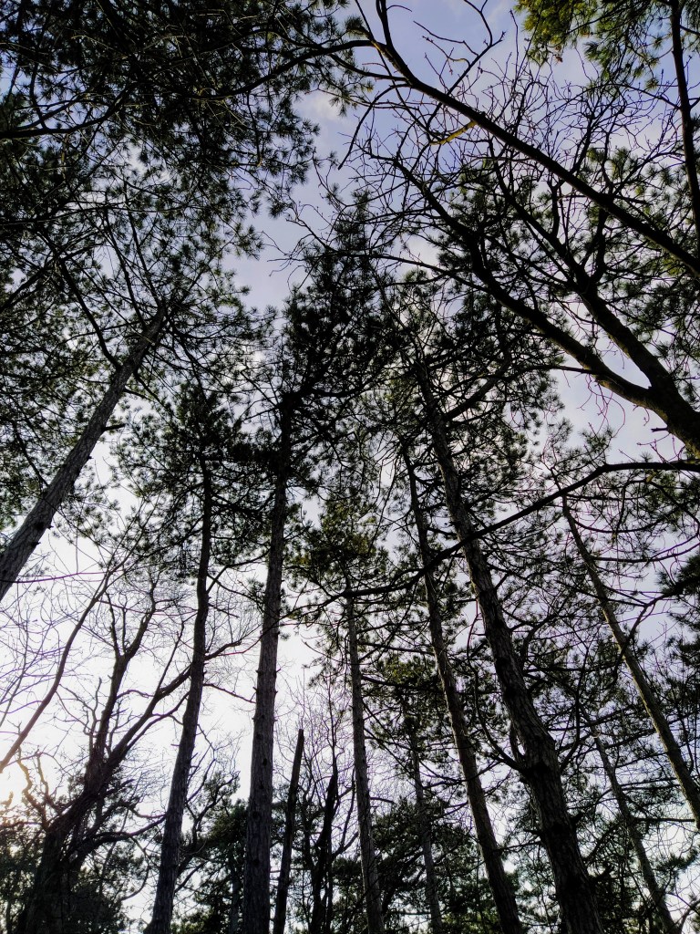
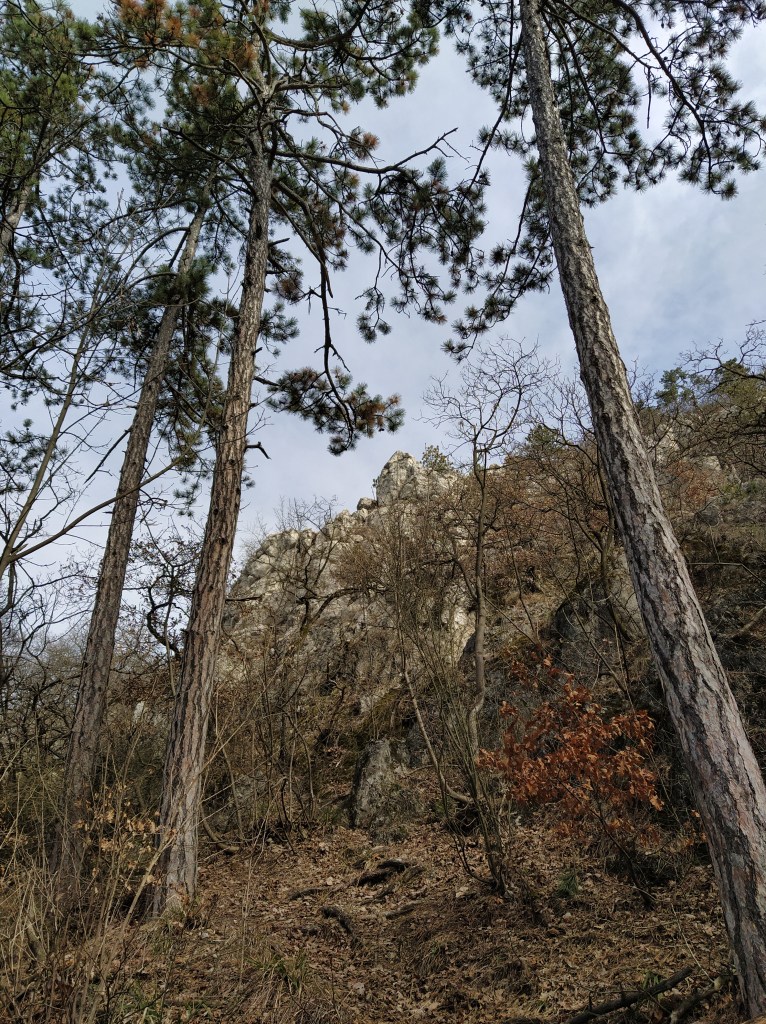
Don’t forget to look up… 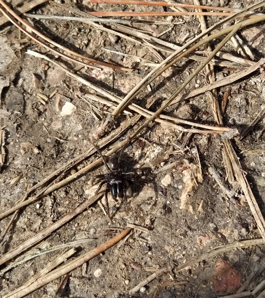
and to look down
It felt exhilarating to leave the four walls and to stretch out our limbs, even though we’re sadly out of shape. My legs felt like they were made of metal by the end and I was craving something sugary.The weird thing is that a year ago I wasn’t really into hiking and now I’m hooked and addicted to them. If we skip several weekends, I start to become edgy and not so nice to live with. Thankfully, we have 1154 kilometres of trail to complete, so we won’t get bored.
See you at the next leg of the Blue Trail and don’t forget: Feeling Blue? Hike the Blue!