On the trail of long lost villages, lookouts, a forest cemetery and a castle ruin, all these during a roundtrip in the Vértes mountain.
Details of the walk:
Distance: 15.6 kilometres
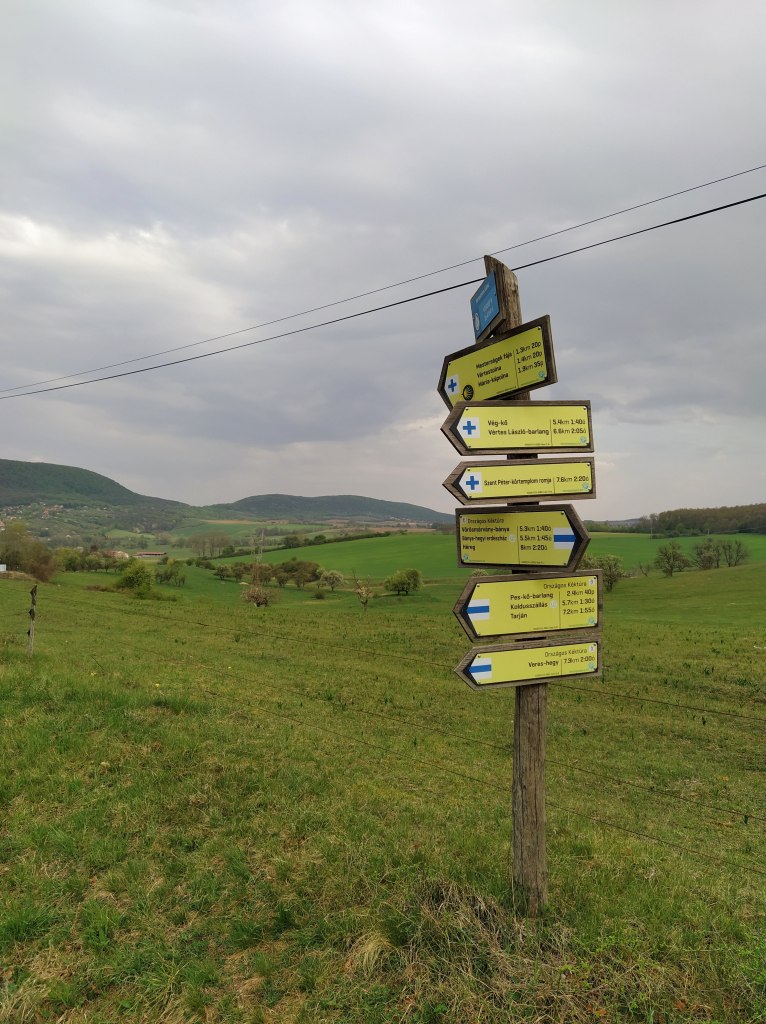
Route: https://out.ac/ykbRP
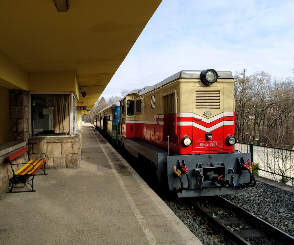
How to get there: By public transport: Bus nr 767 from Budapest or from Tatabánya
By car: Parking at Bika Csárda
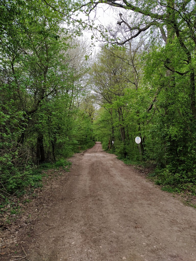
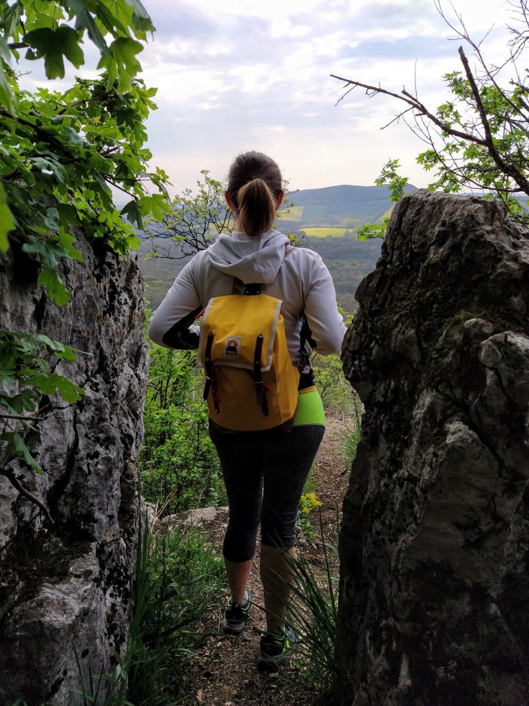
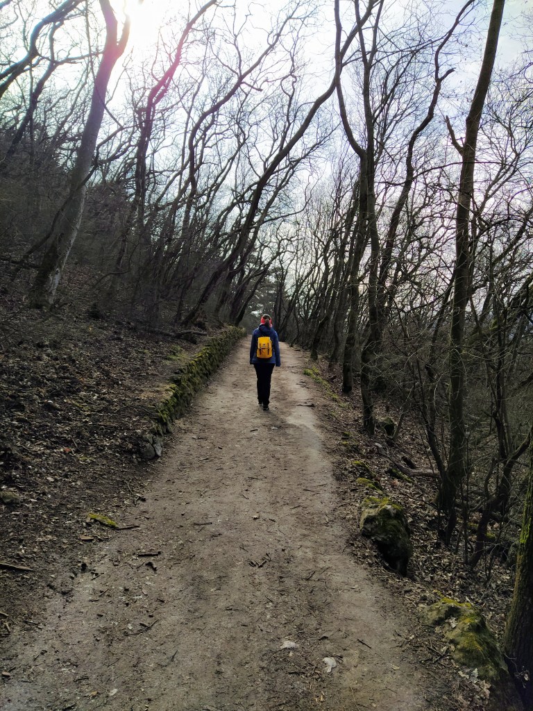
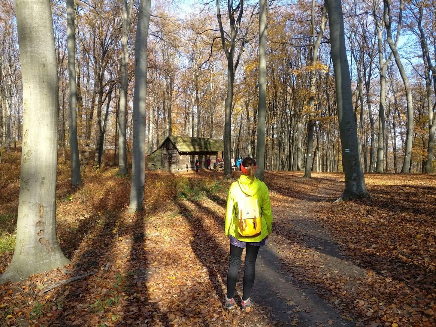
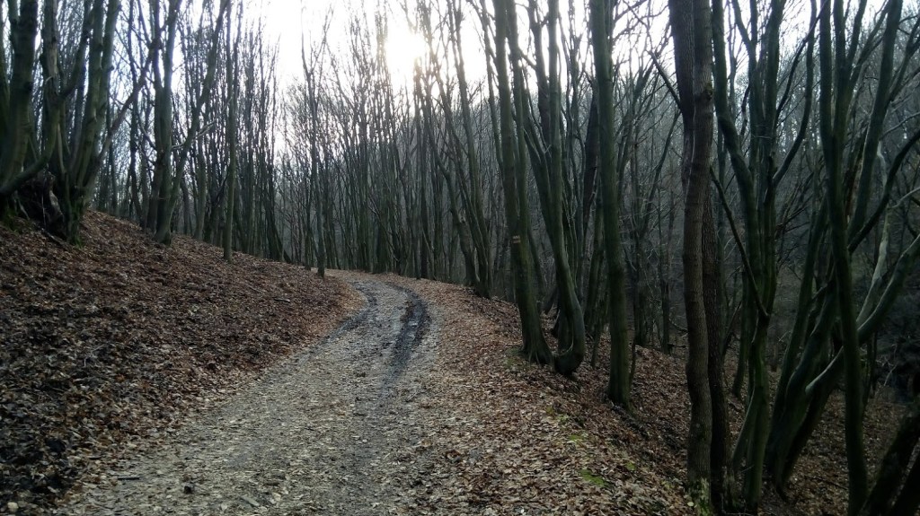
On a spring weekend we ventured a little further from the capital to do a hike on one of the classic routes of the Vértes mountain.The starting and end point of the tour was an abandoned restaurant by the side of the road outside of Tatabánya.
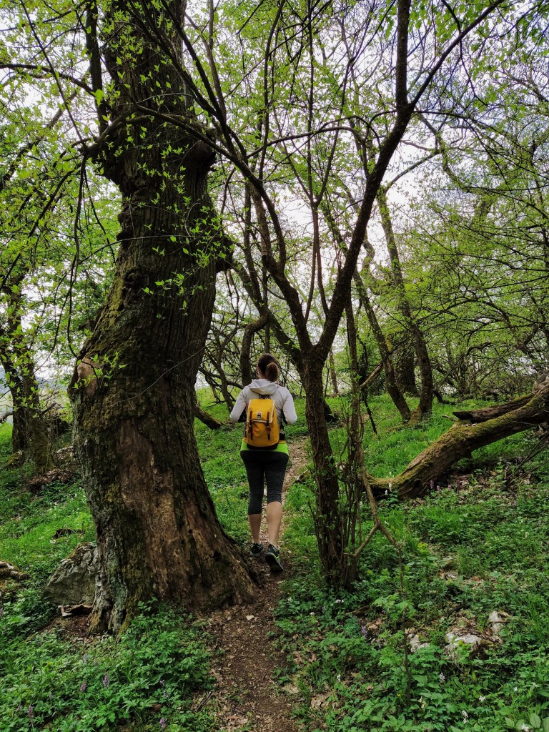
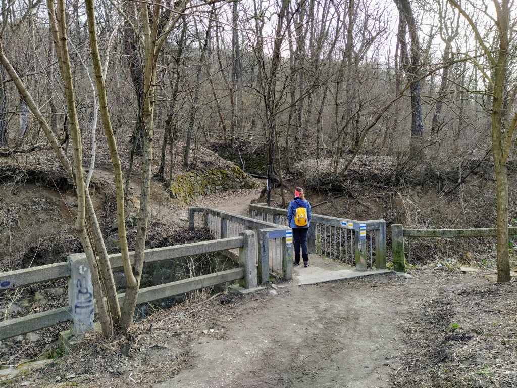
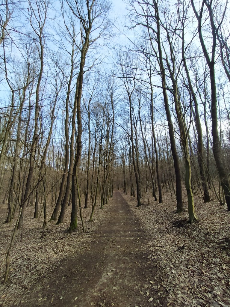
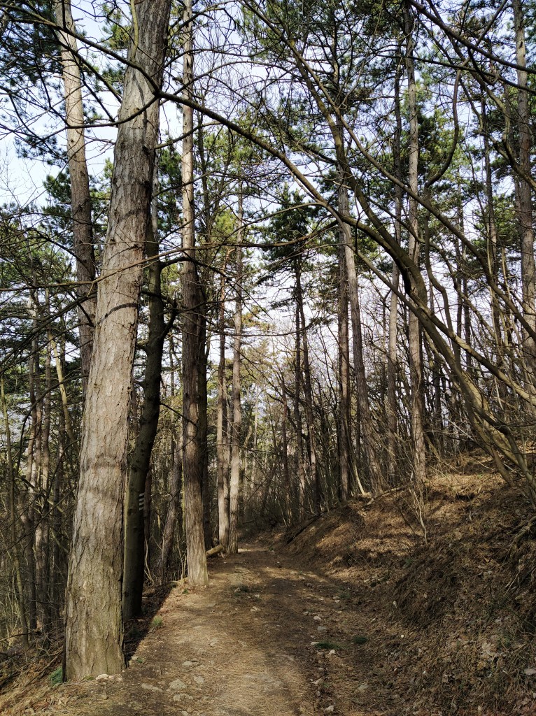
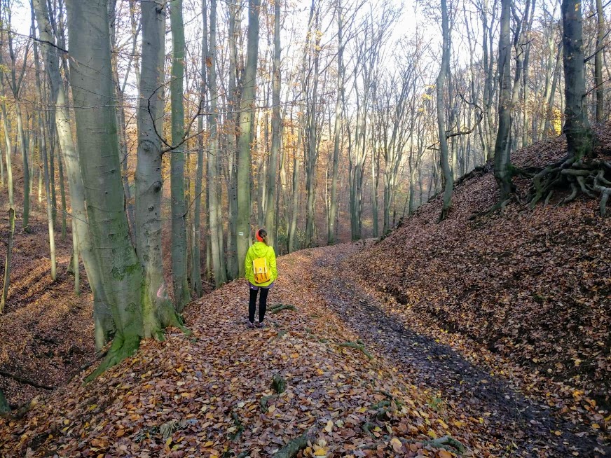
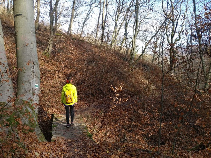
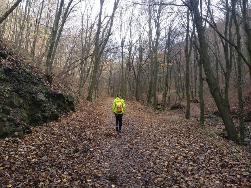
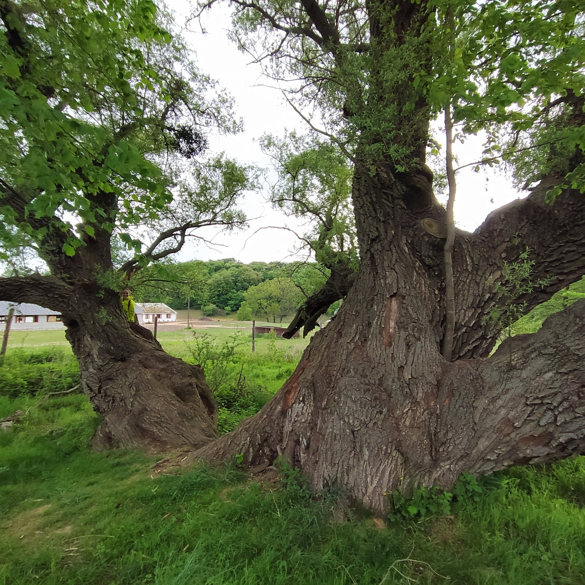
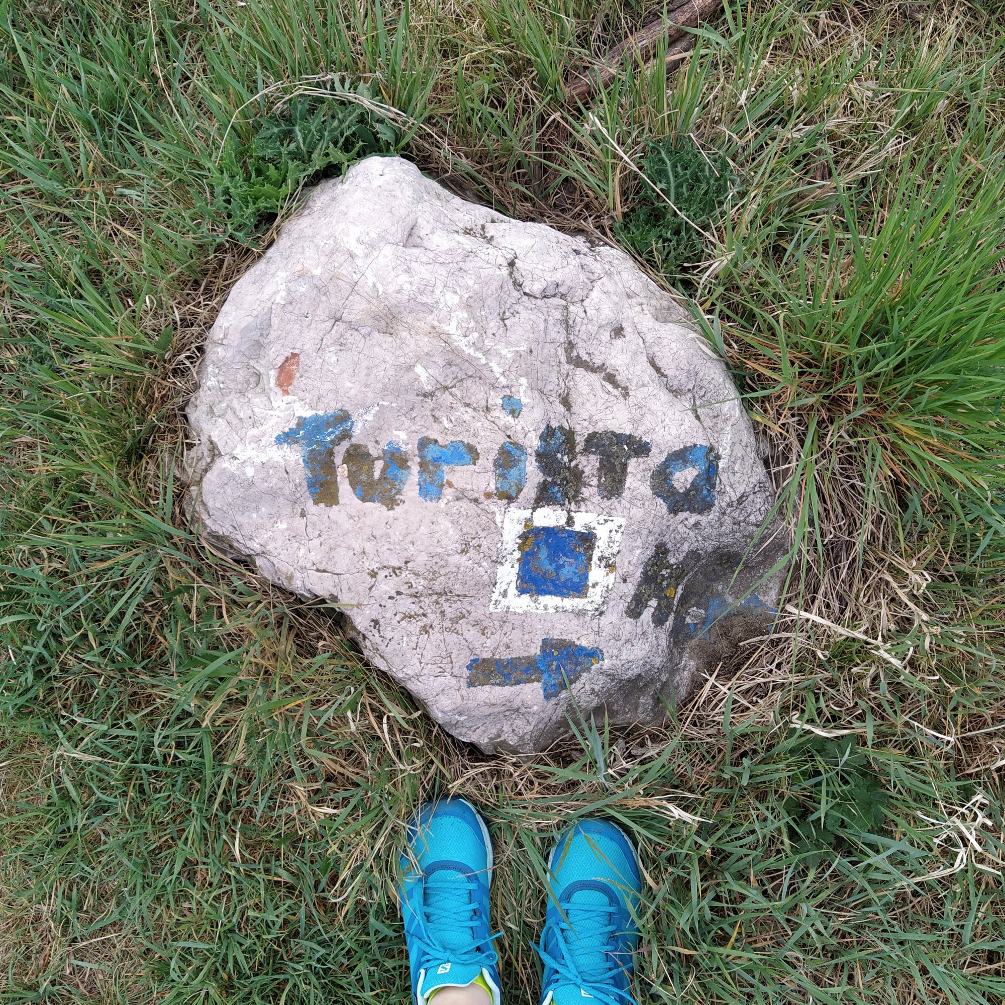
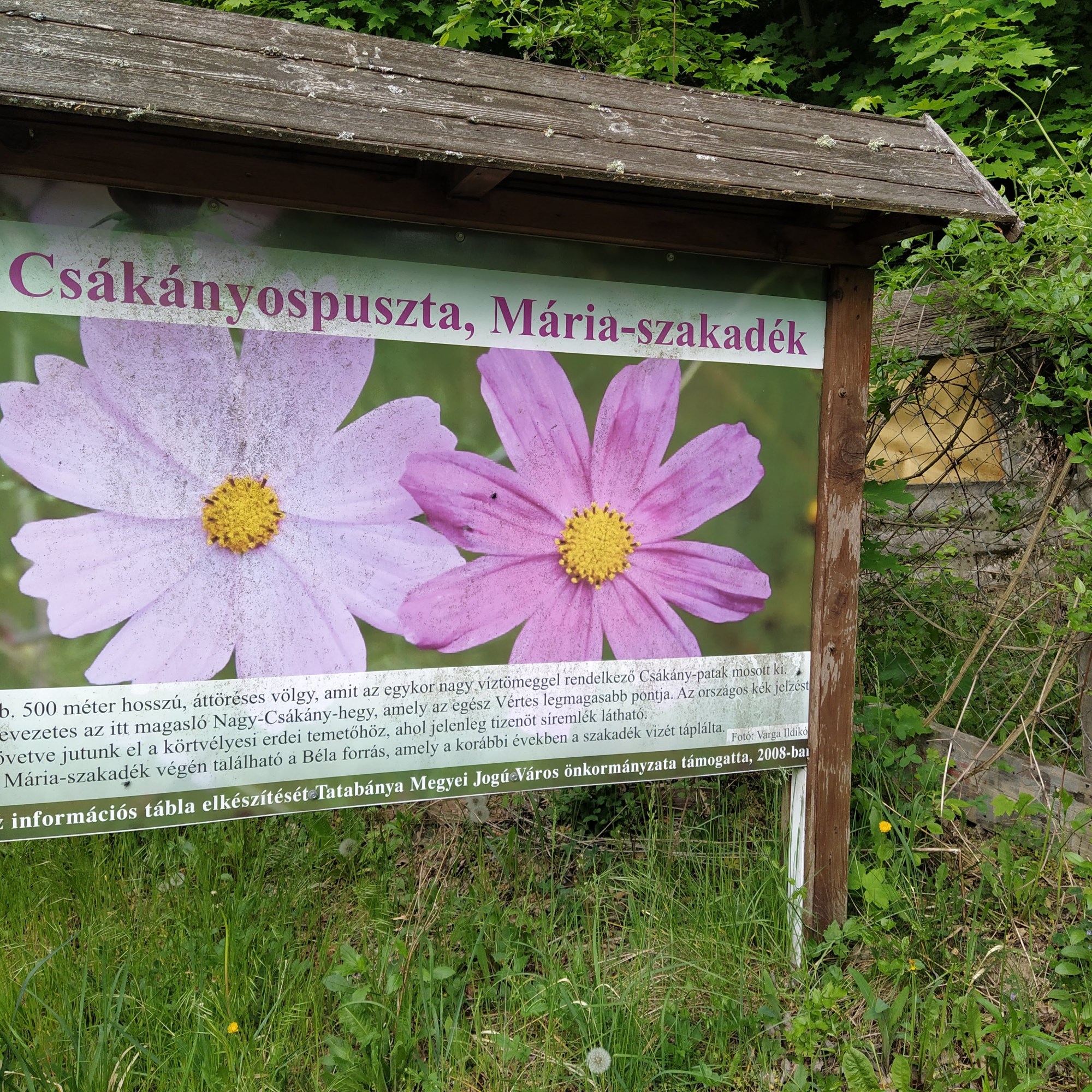
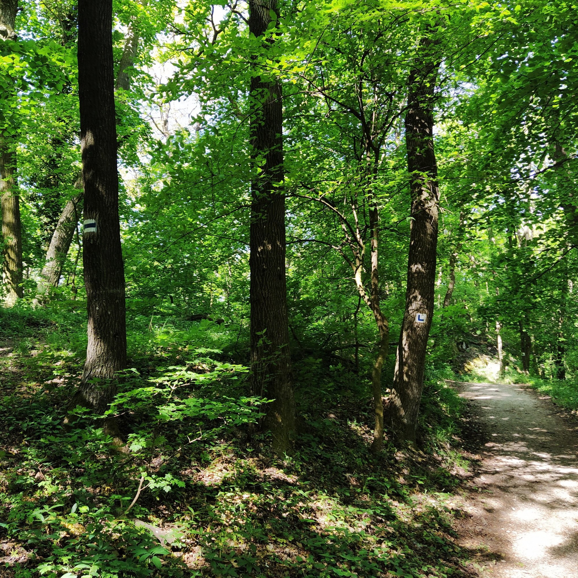
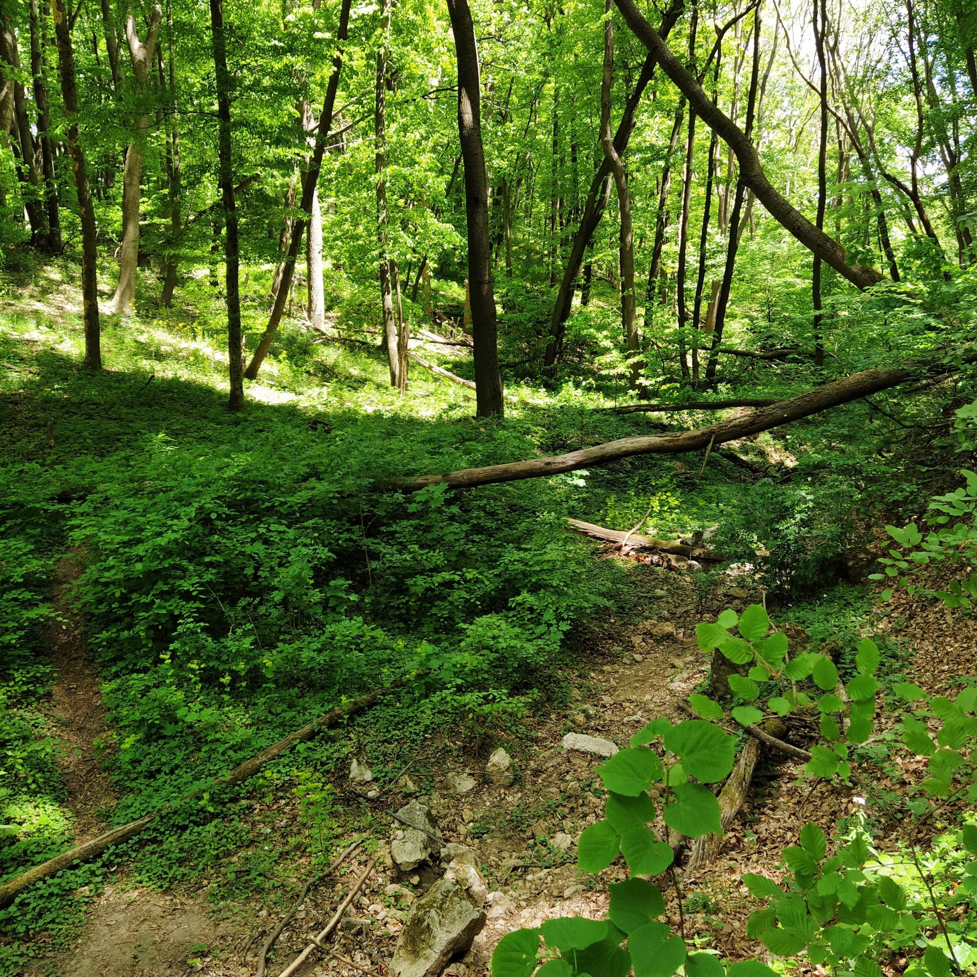
After walking up a bit on the blue + road and reached the scarse houses of Csákányospuszta, we turned at an ancient willow-tree with a huge trunk. I wonder what kind of things it saw during its long lifetime. The path leads through meadows and passes the ruins of a temple. In the middle age, a small village used to be here but the ruins are the only sign of it today.
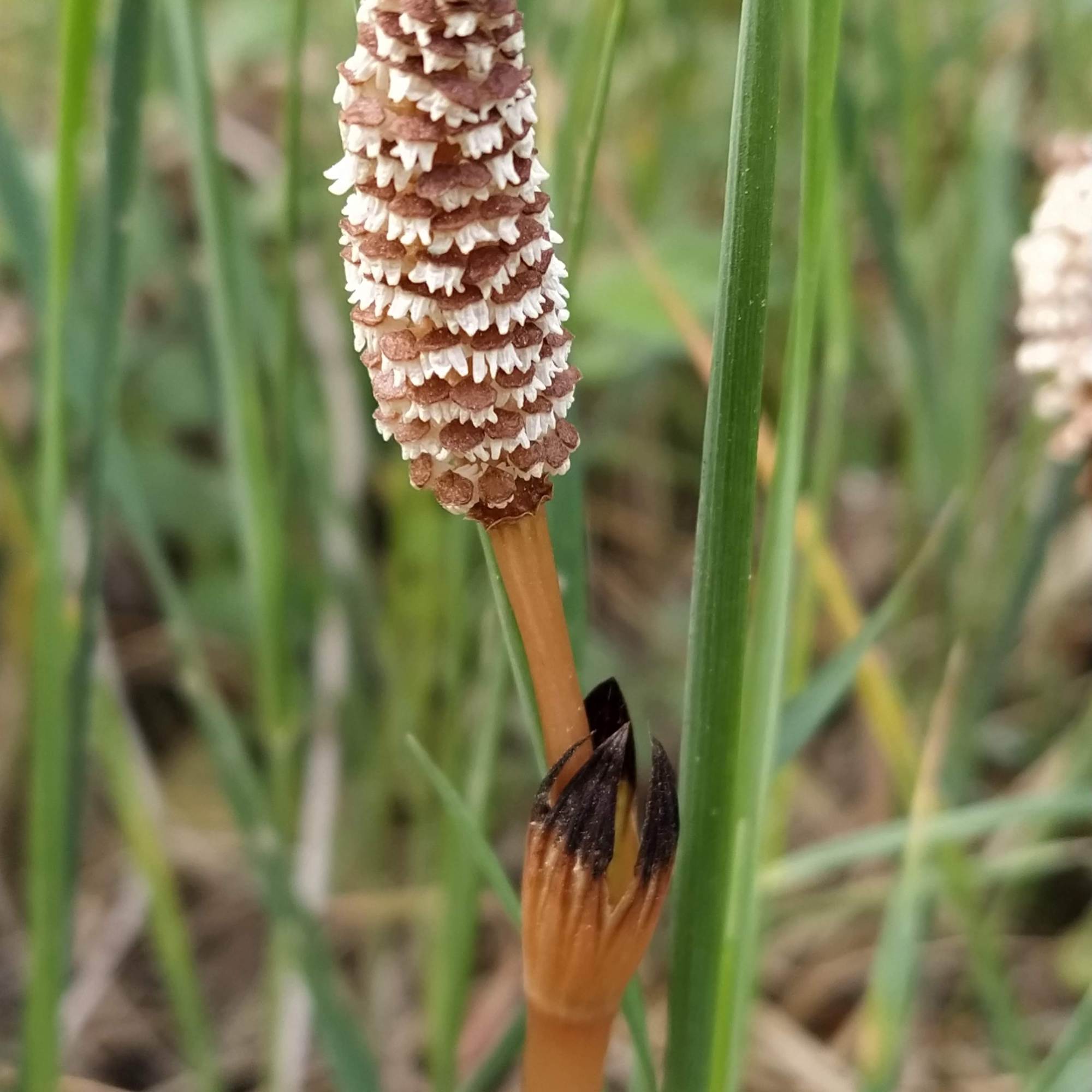
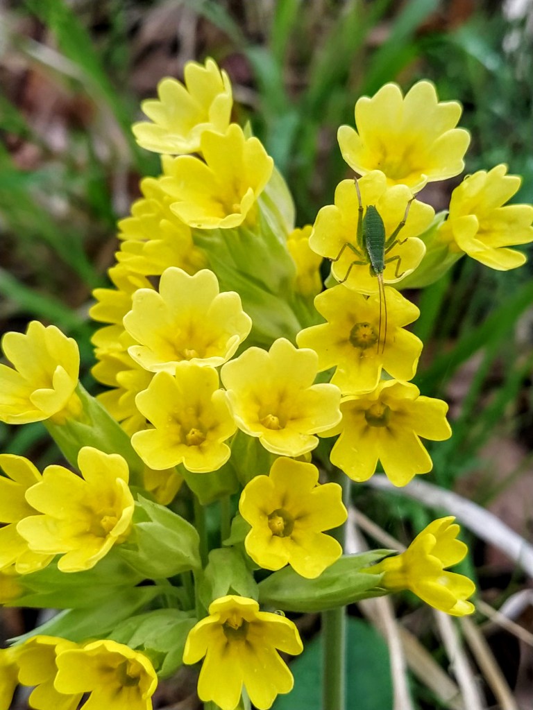
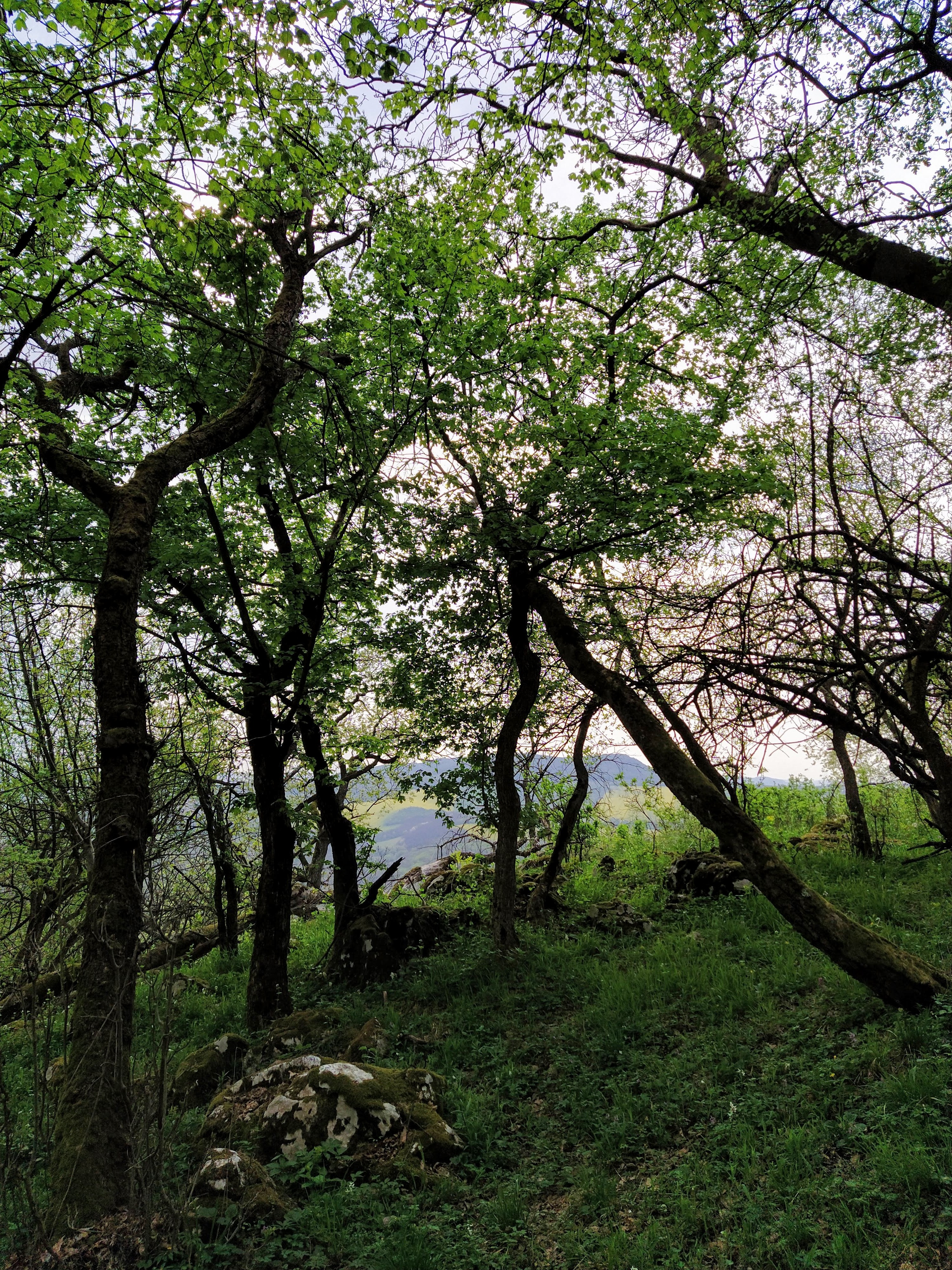
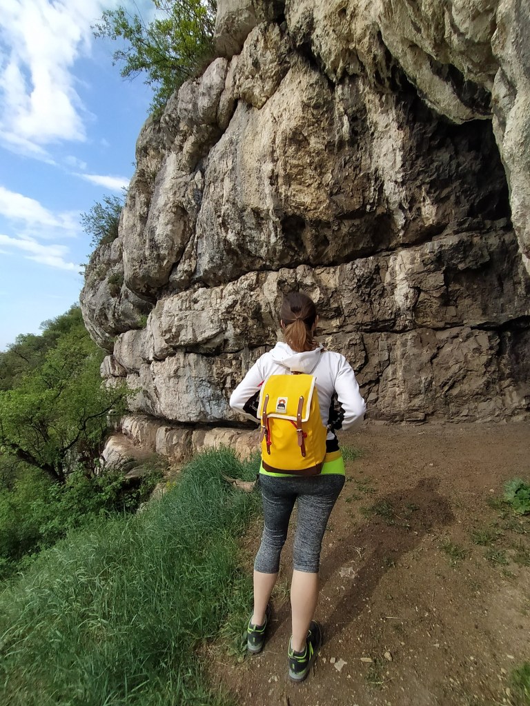
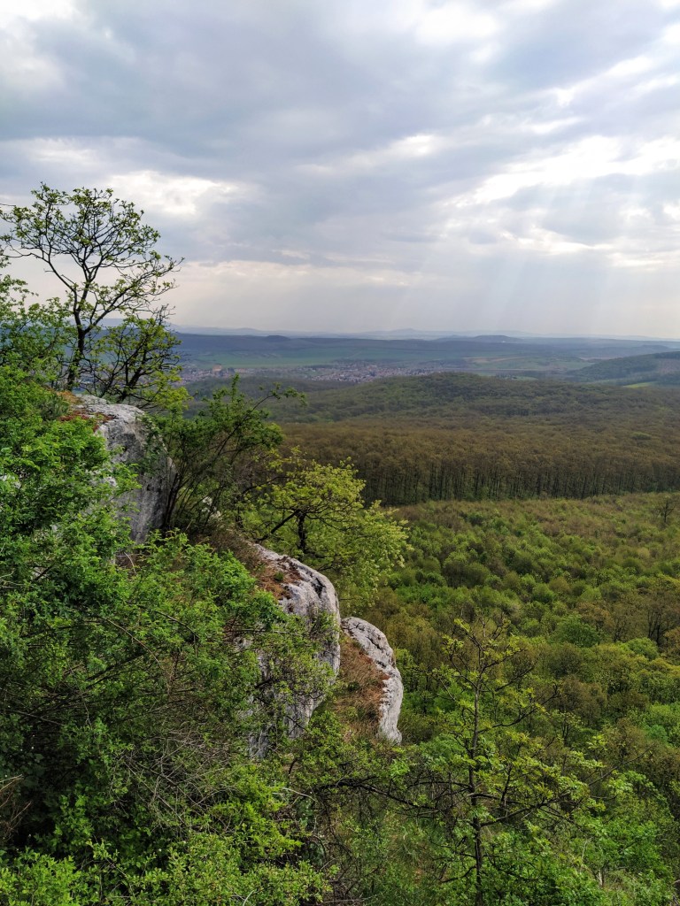
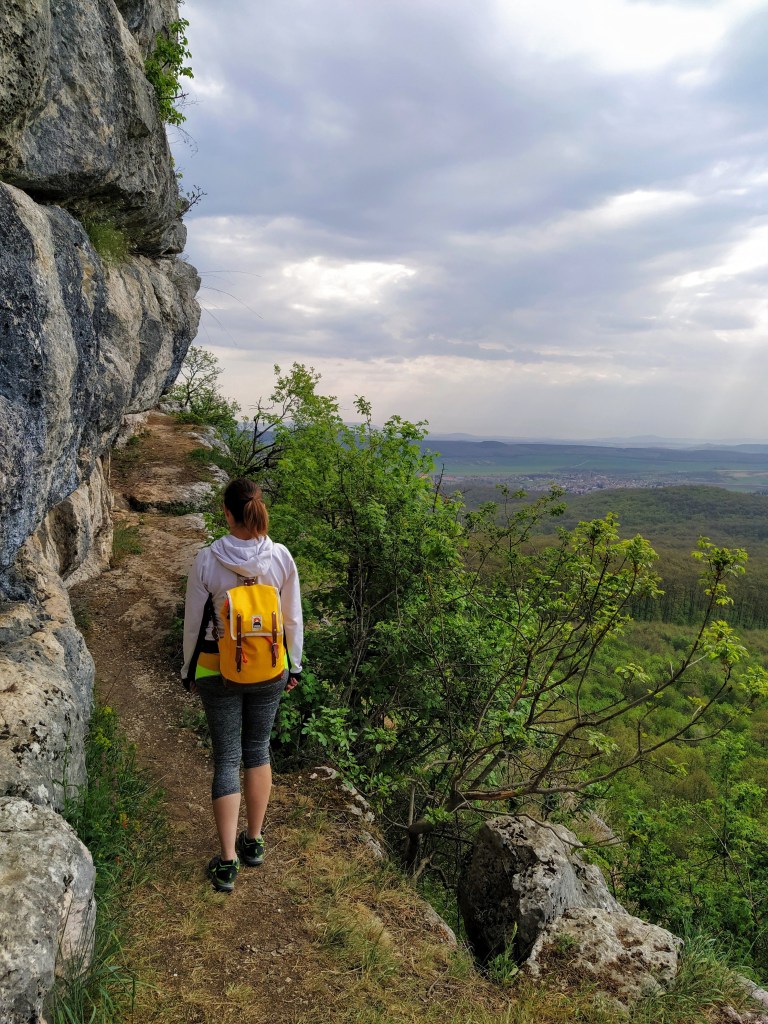
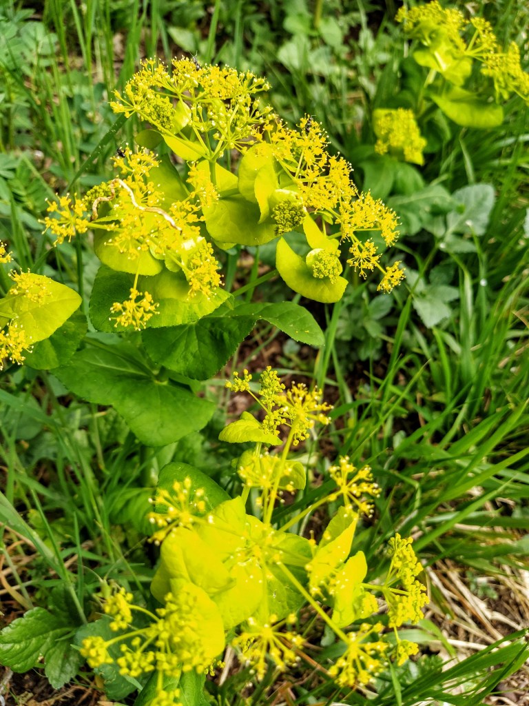
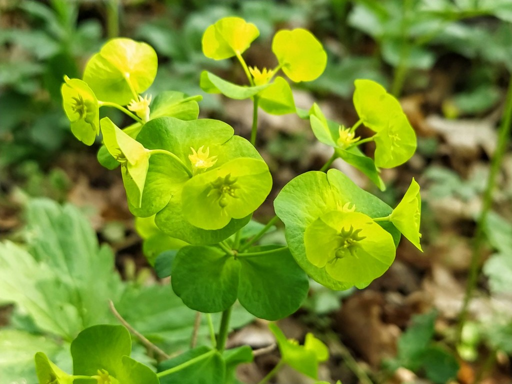
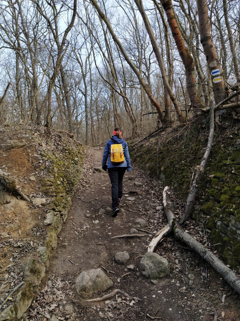
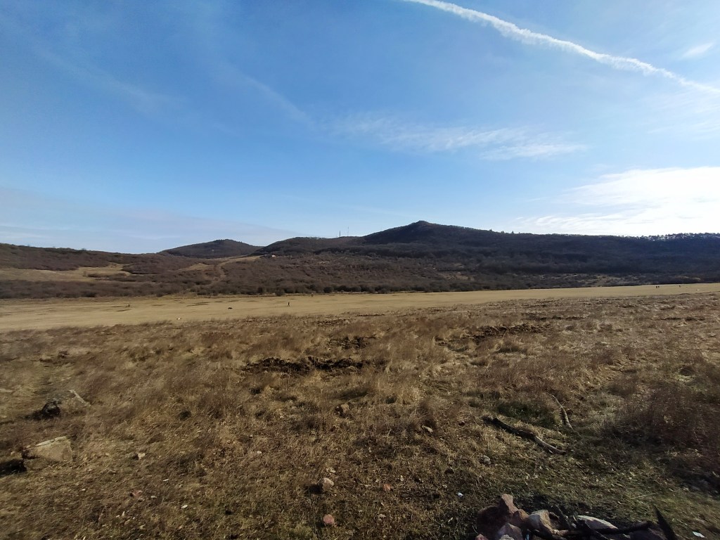
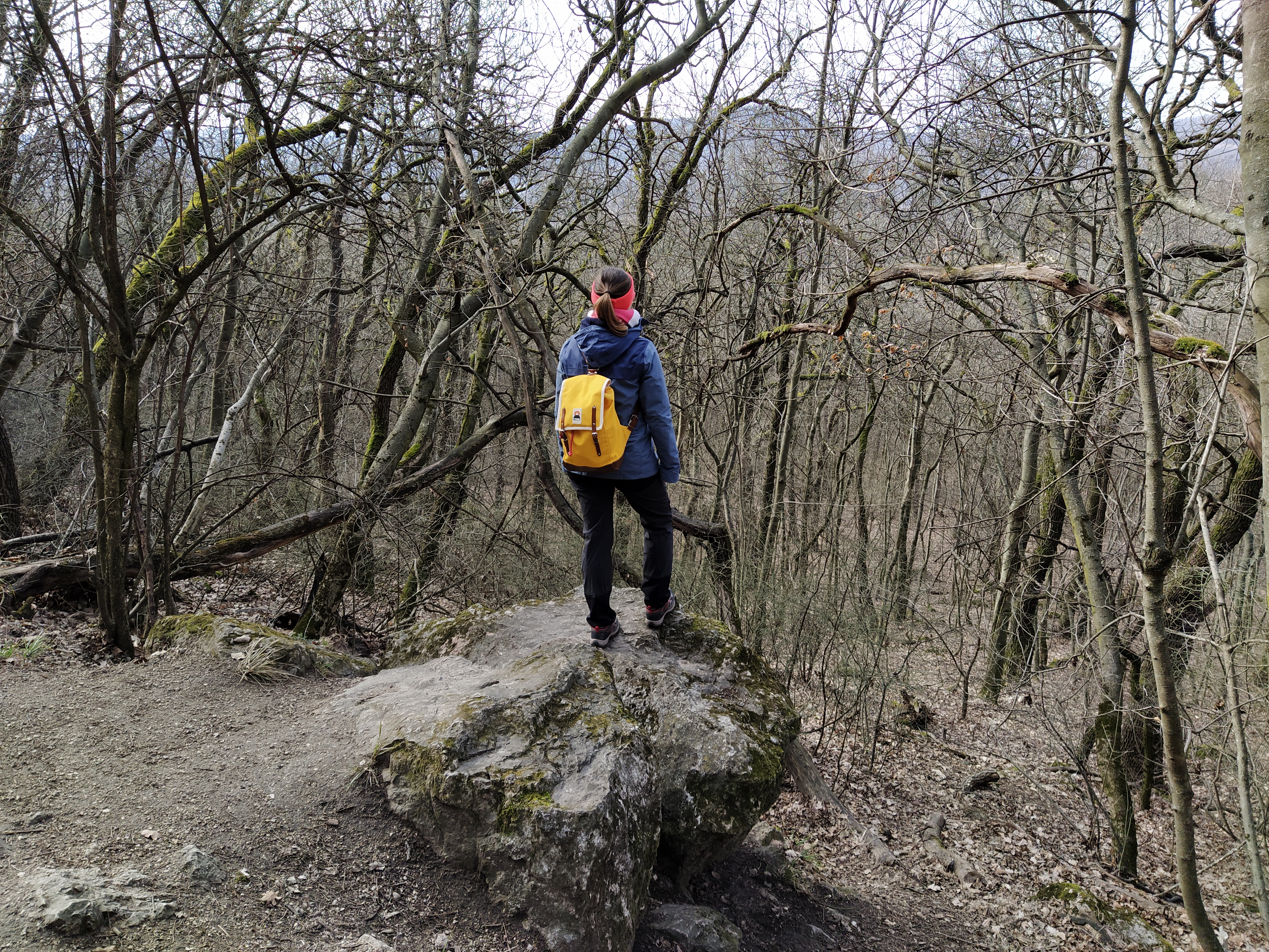
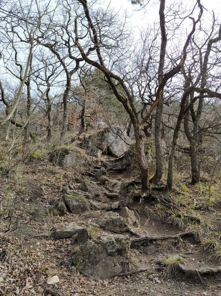
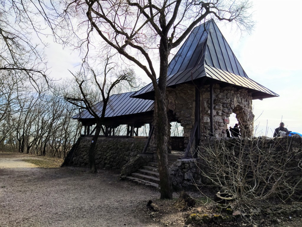
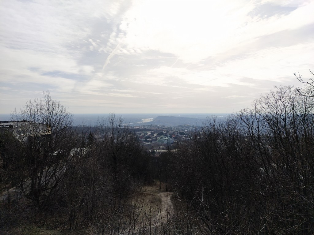
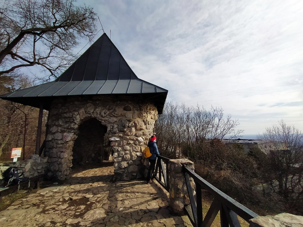
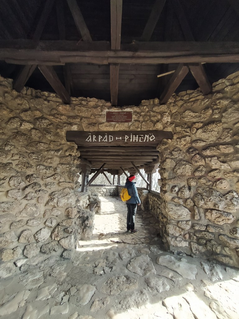
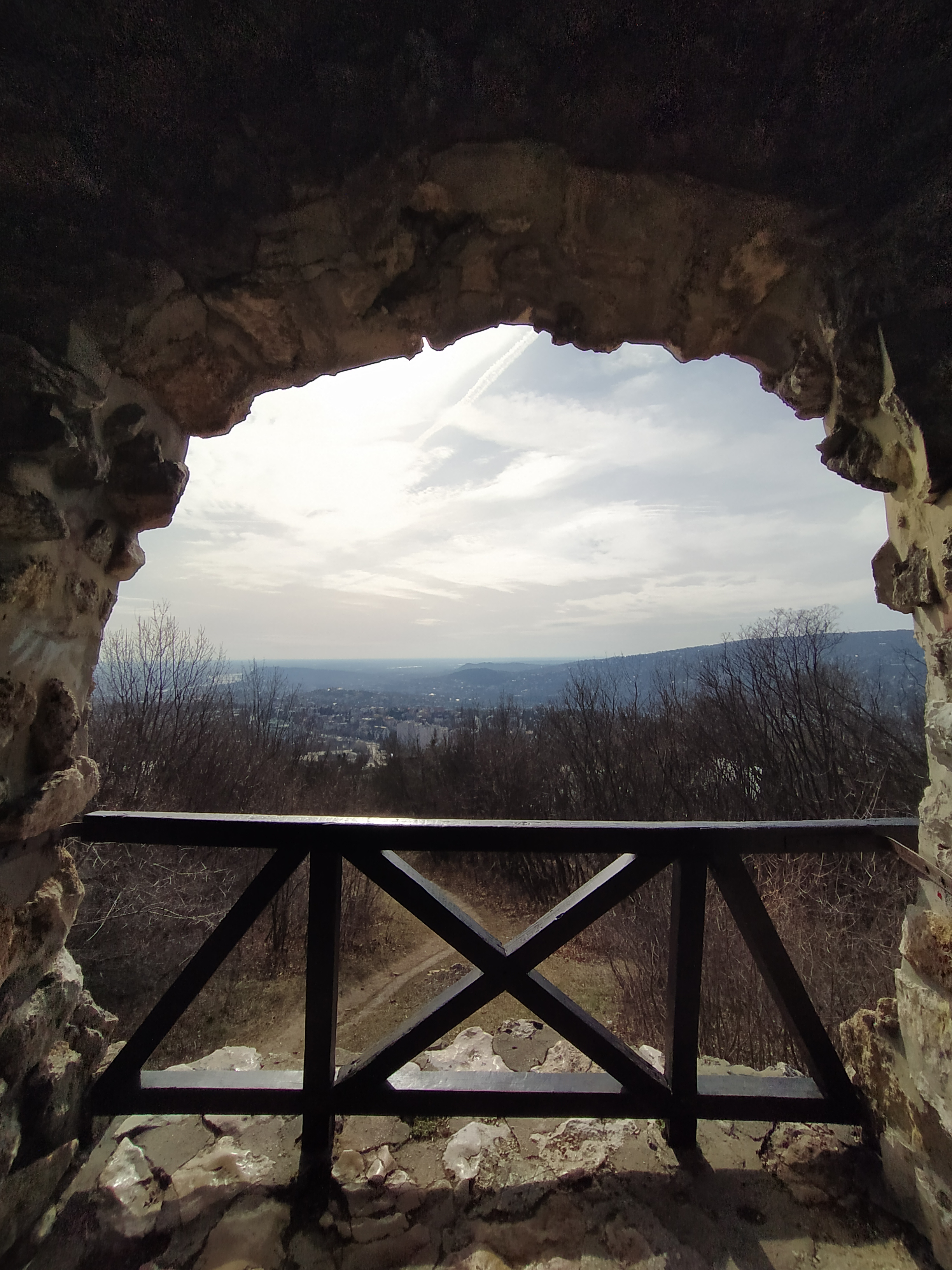
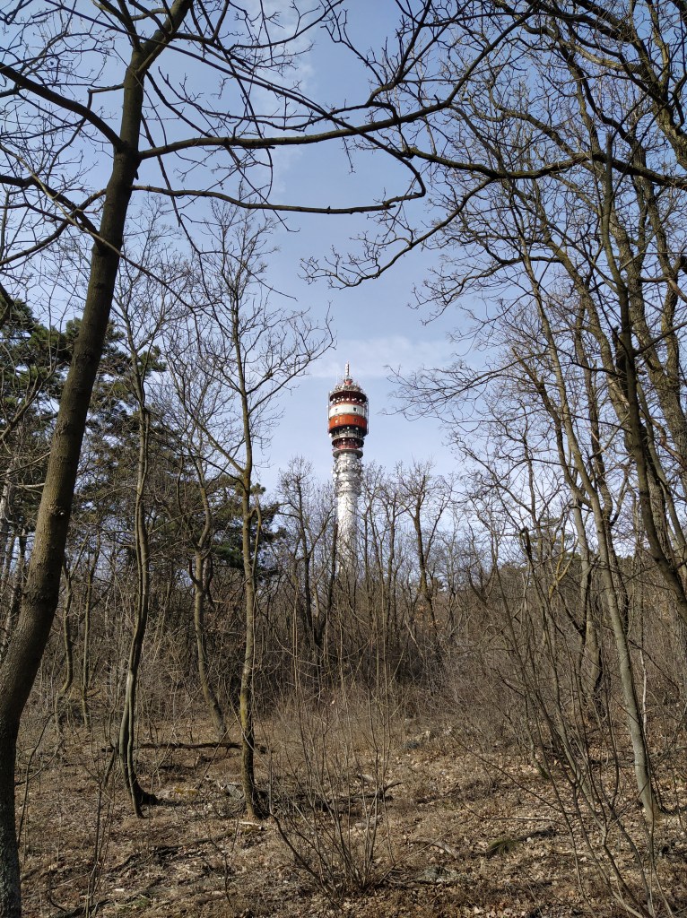
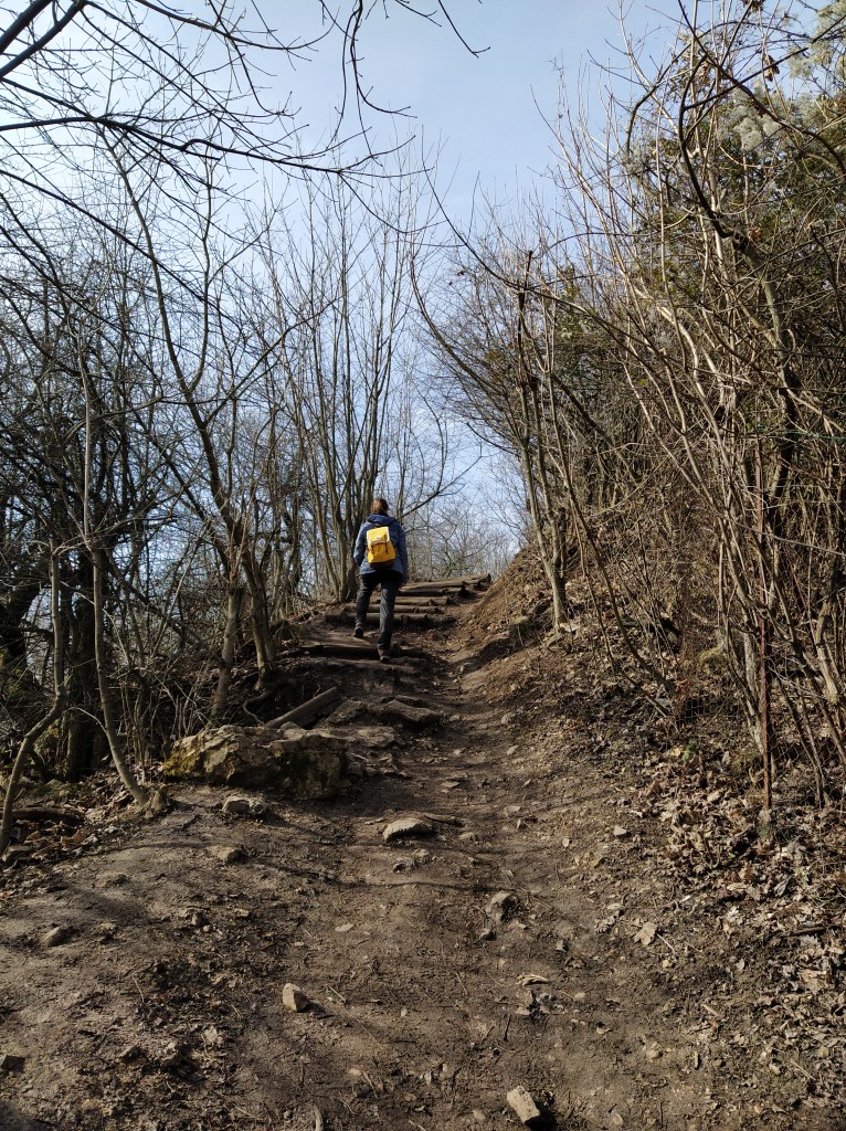
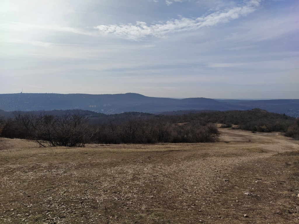
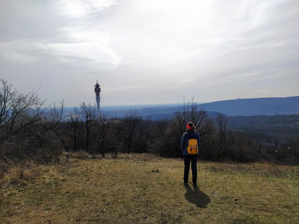
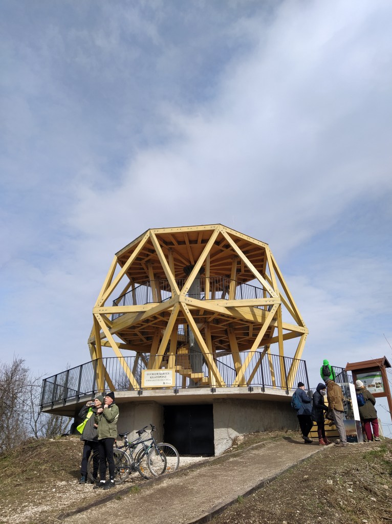
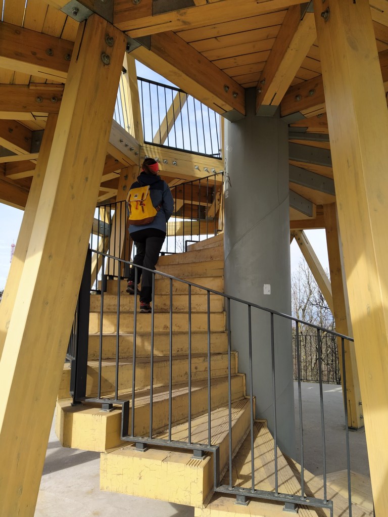
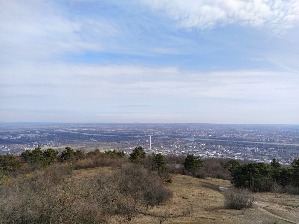
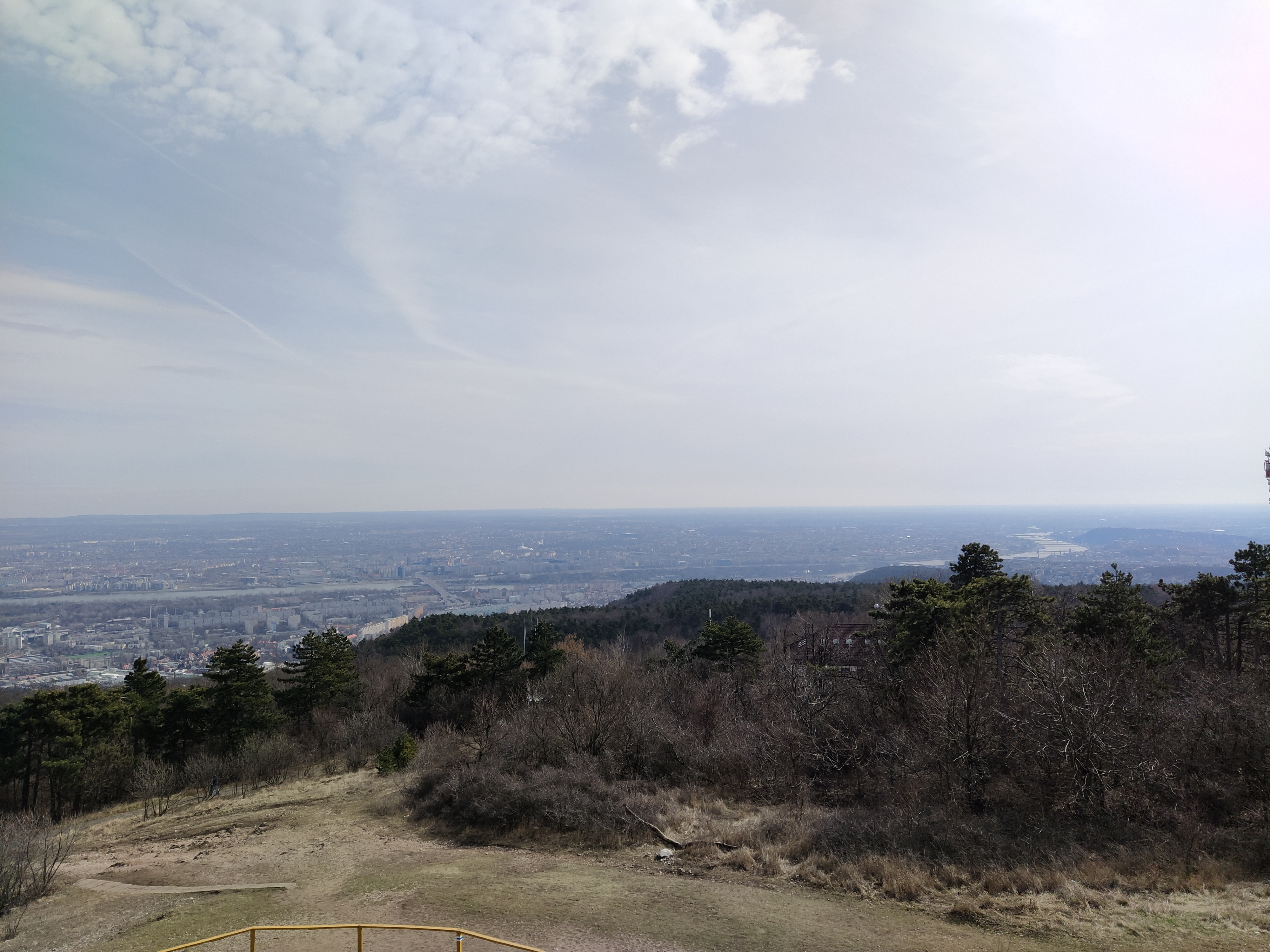
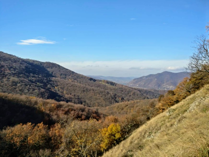
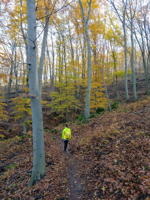
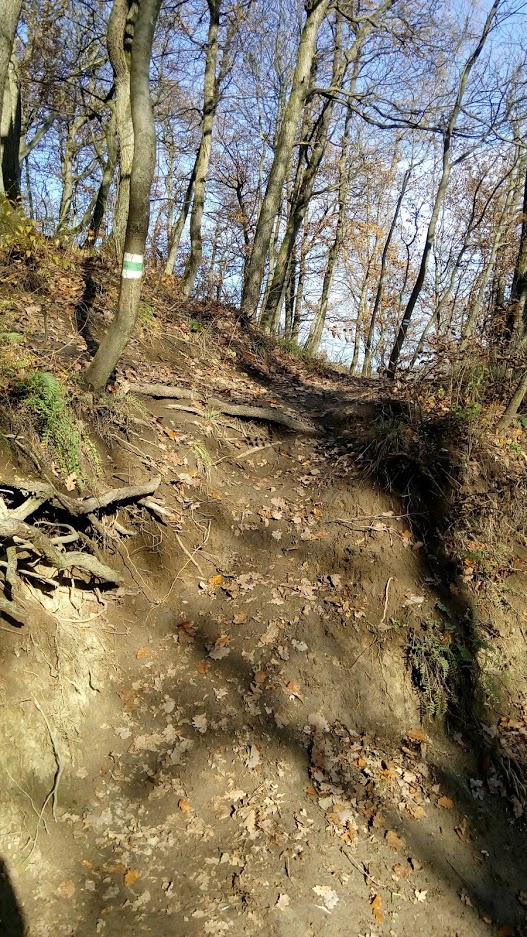
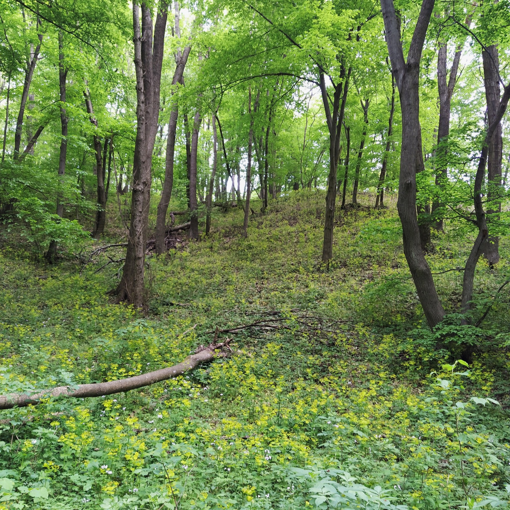
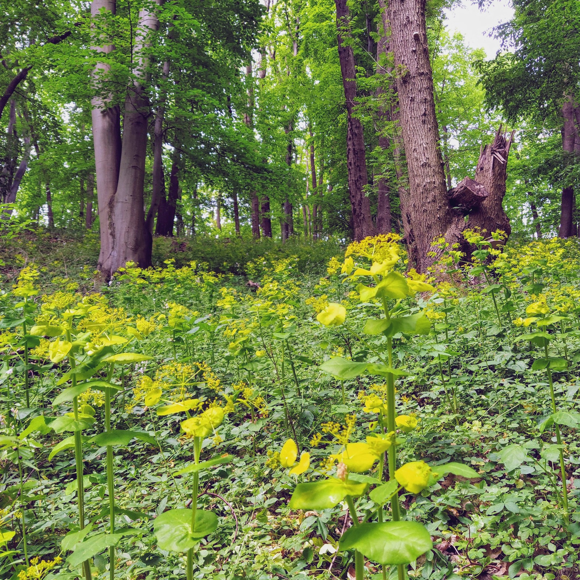
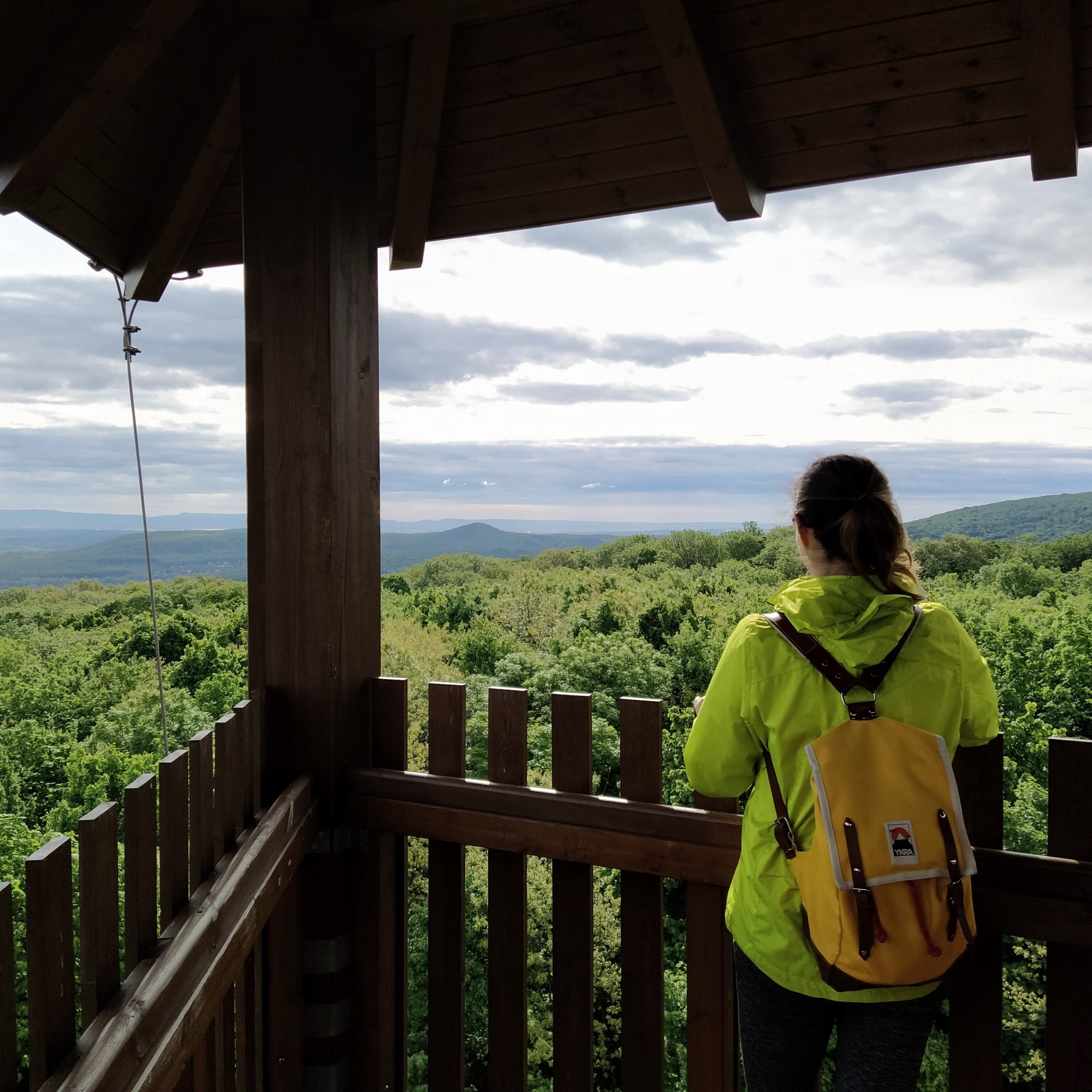
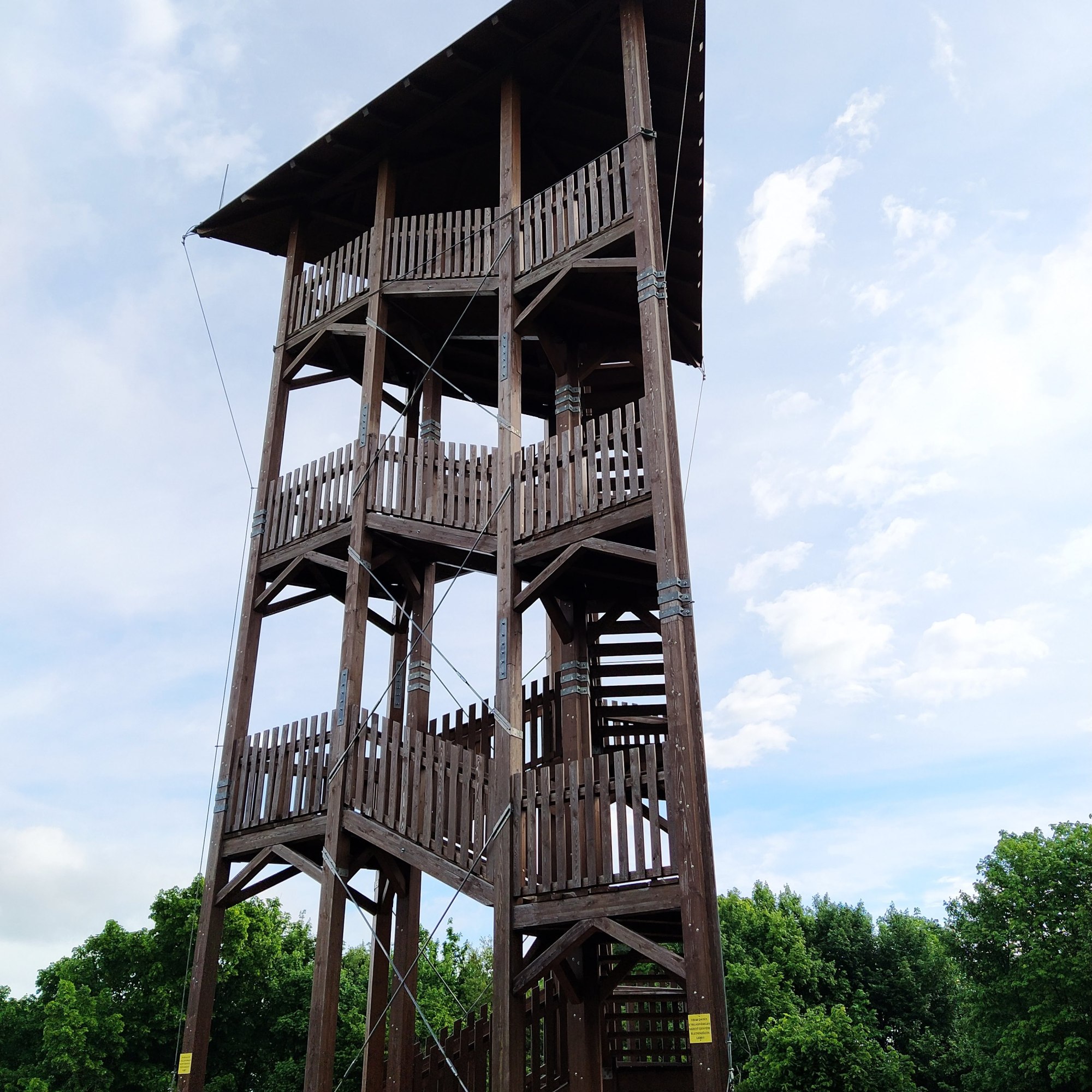
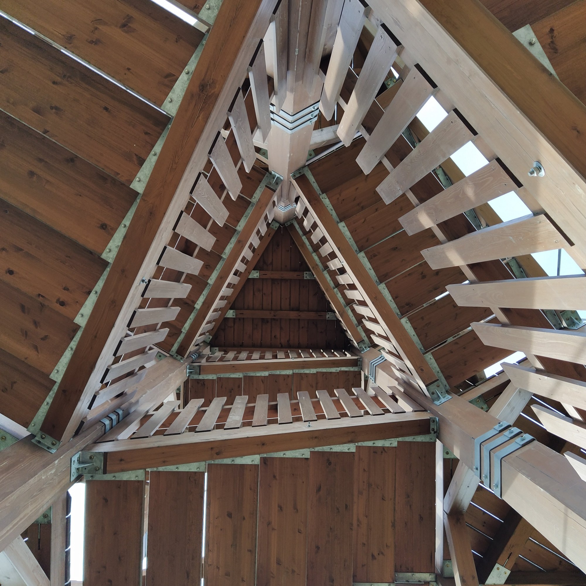
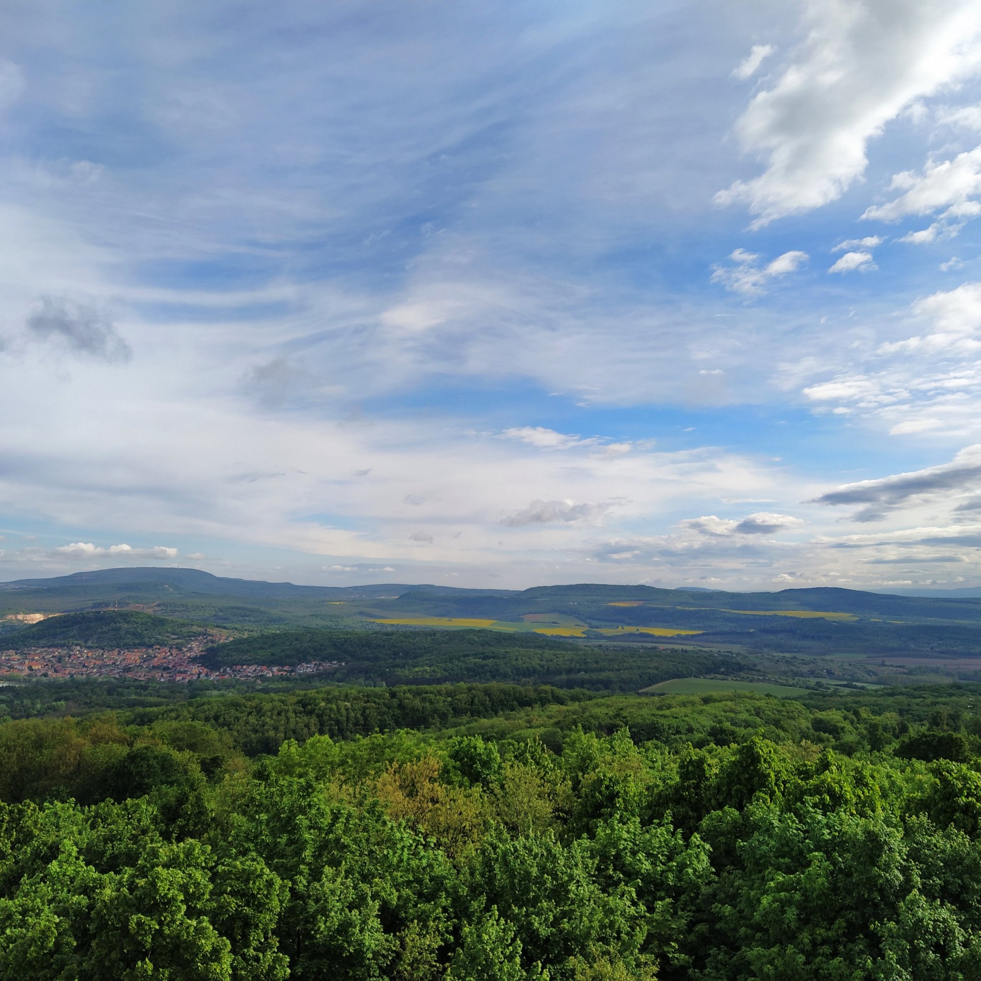
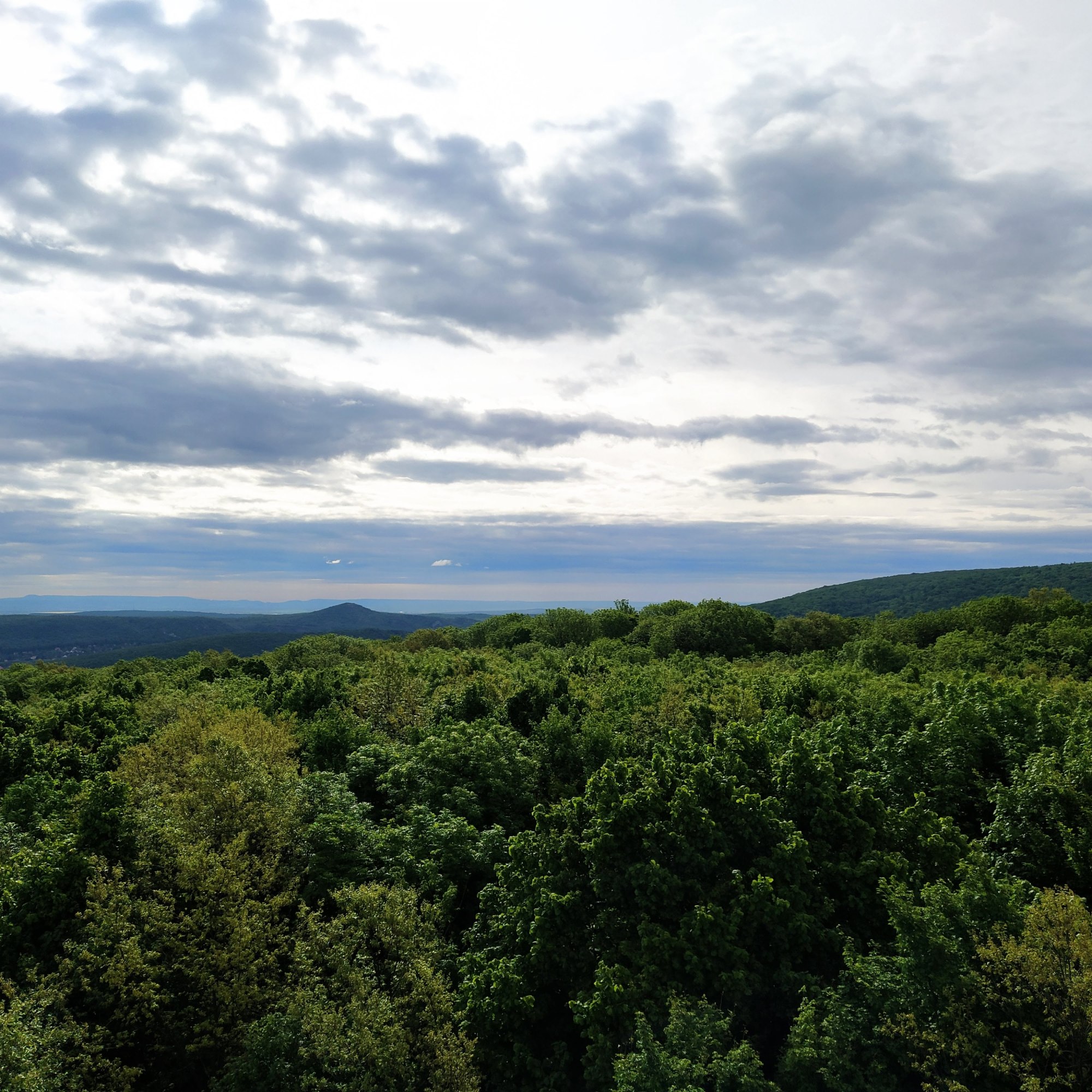
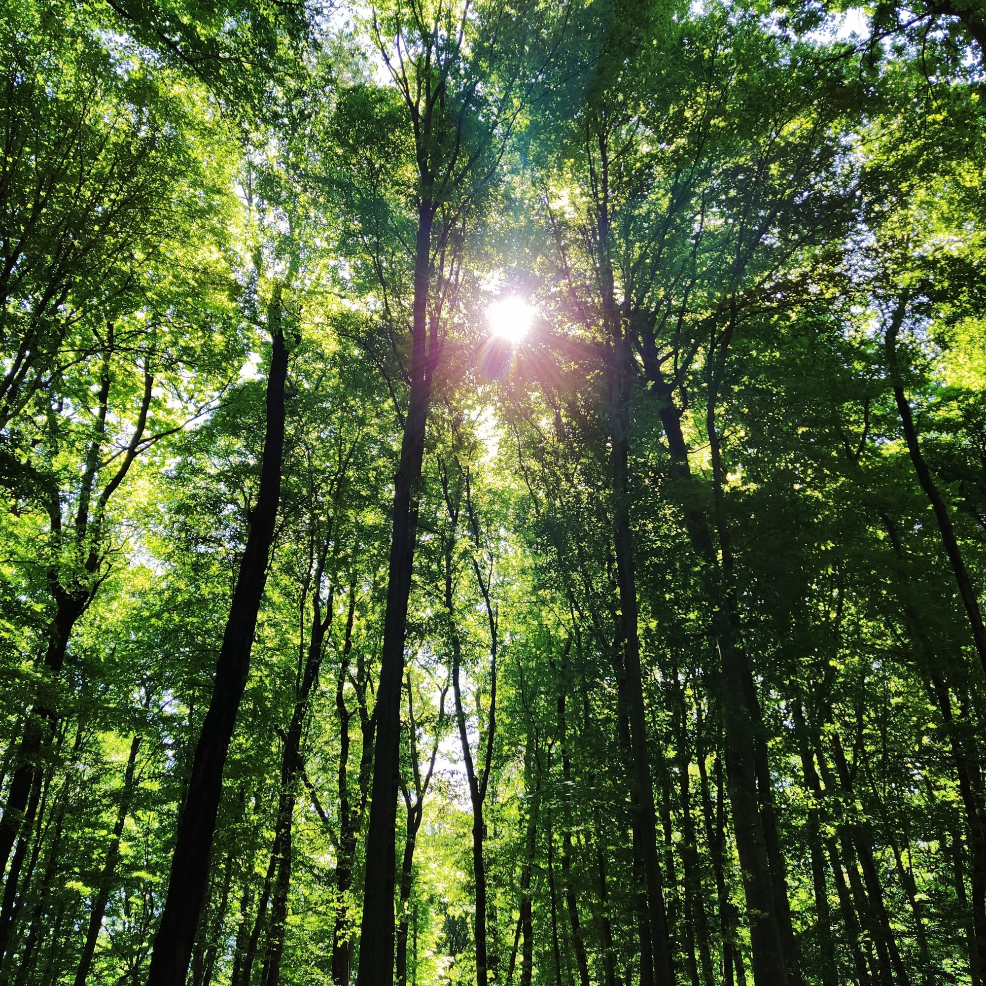
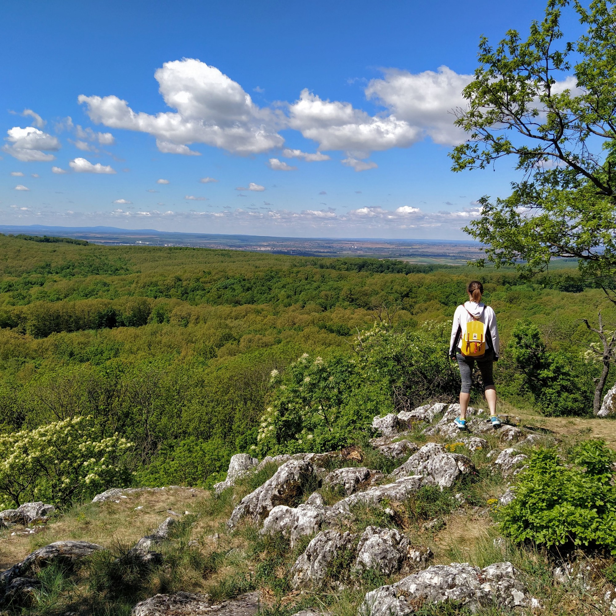
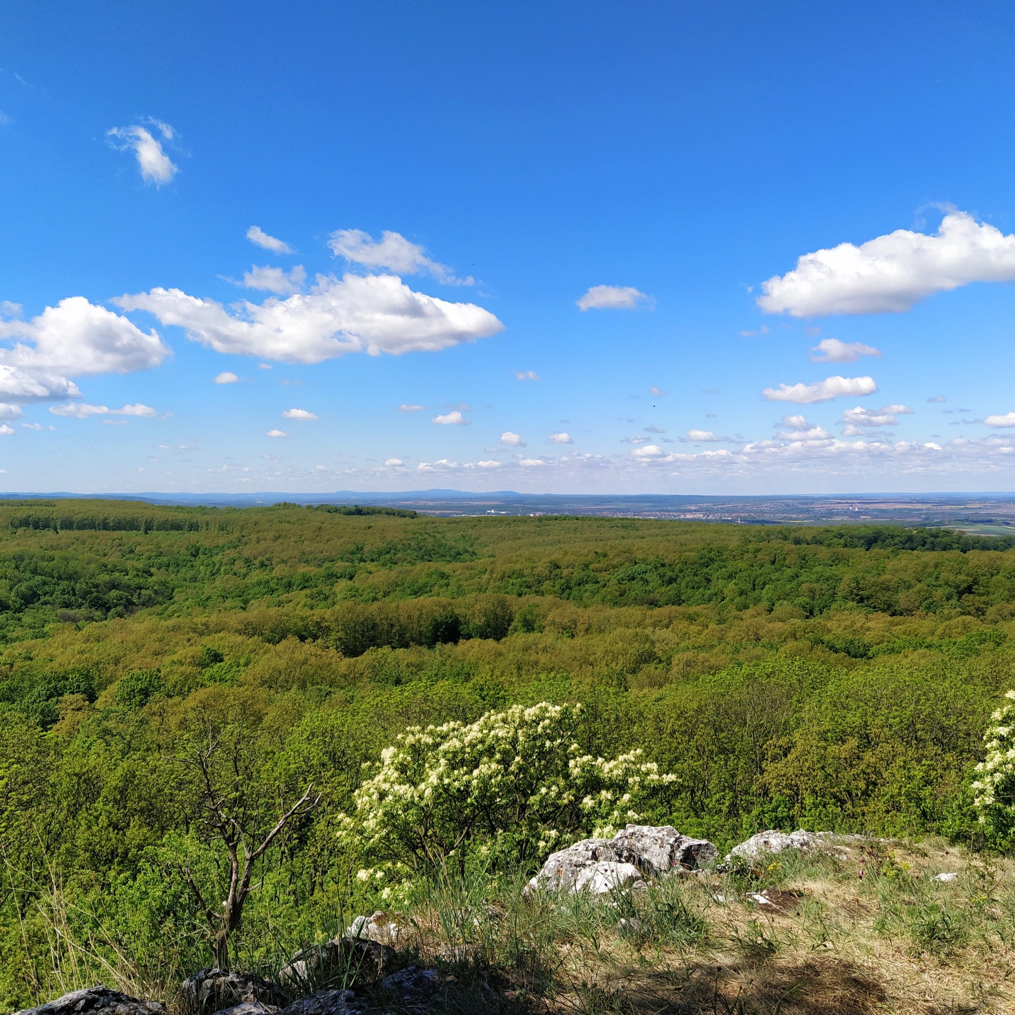
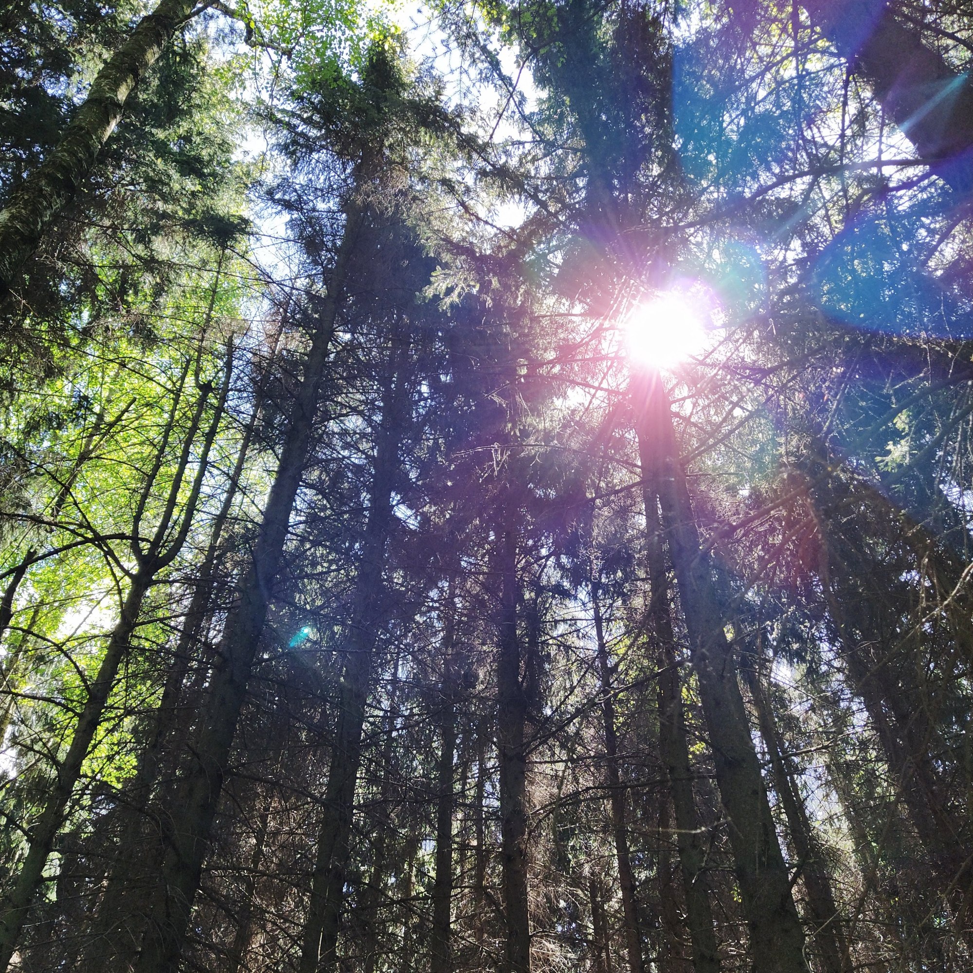
We reached the side of the forest at a tourist house, where a sign shows that the Mária Gully is close by. Our route would circle back to the gully, so we started to hike up to reach the lookout tower. The valley reminded me of a natural temple as we strolled under the dome canopy of the trees and the forest floor was carpeted with hundreds of yellow flowers.The rise up to the Kis-Kopasz-hegy (Smaller Bald Mountain if I was to translate it word by word, but who comes up with these names?) was relatively short but quite steep. All this trudging uphill better make my backside fabulous or I will be pissed.
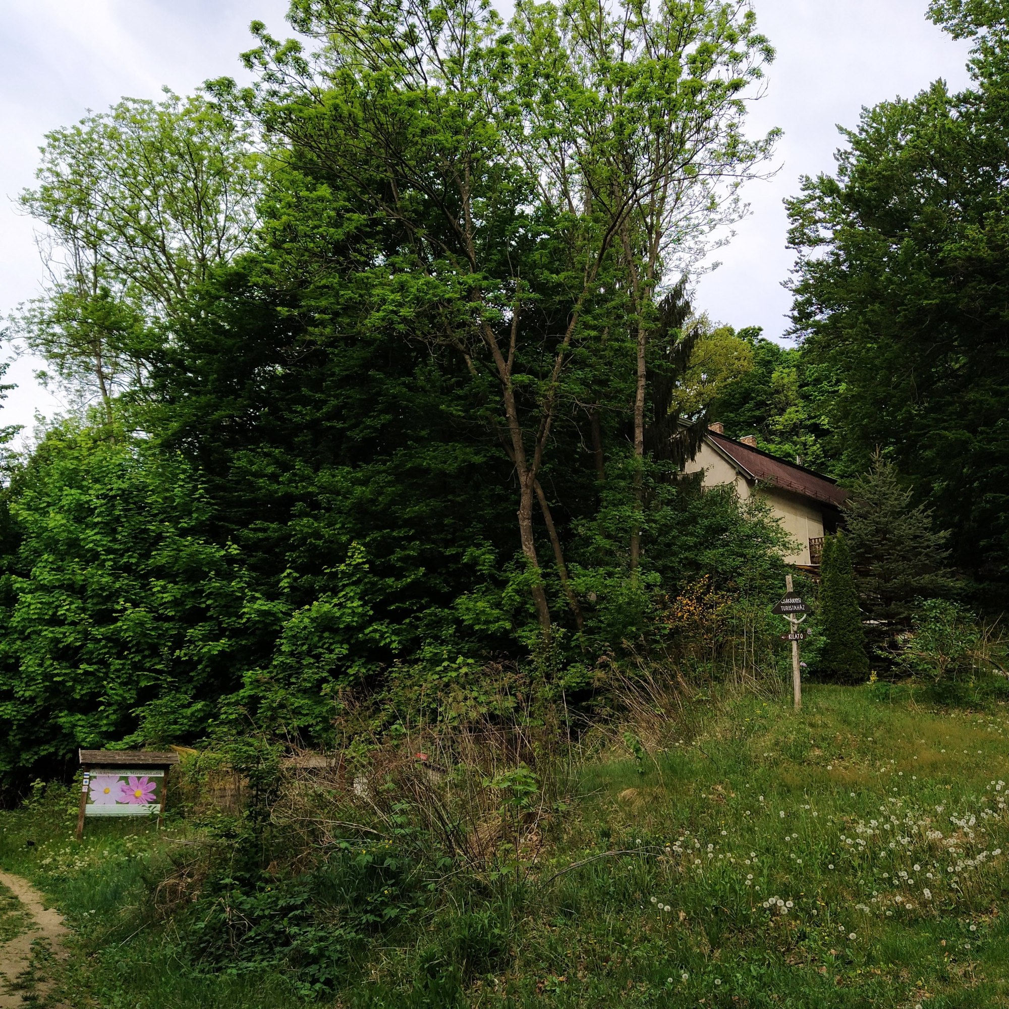
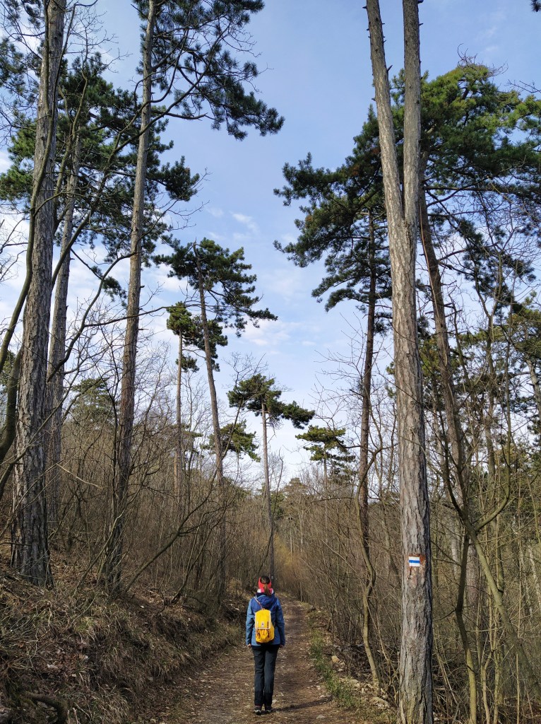
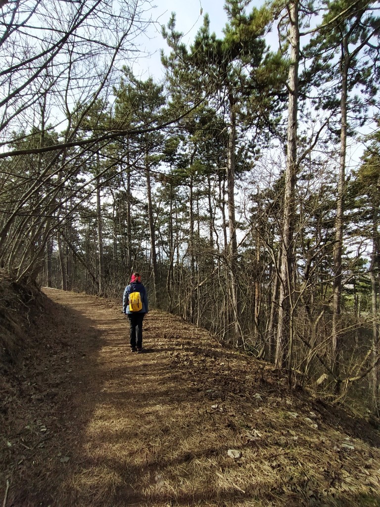
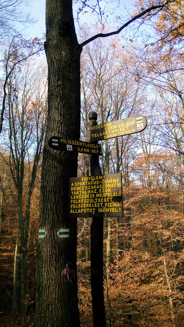
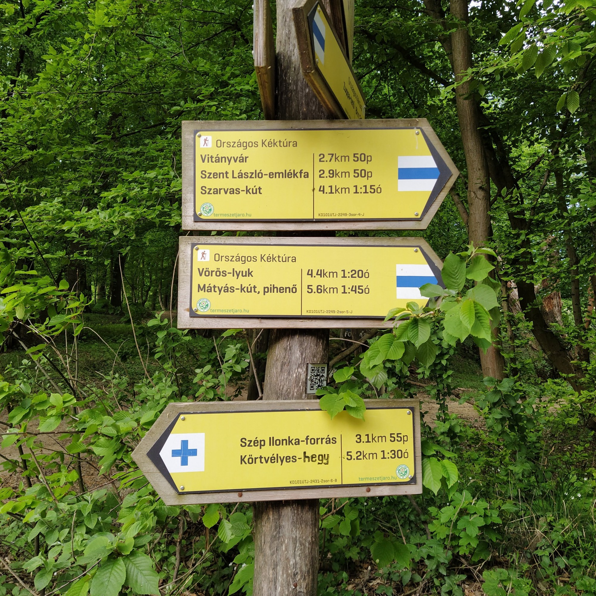
Up until this point we followed the blue + path, however to get to the the lookout tower we did a small detour on the blue triangle.
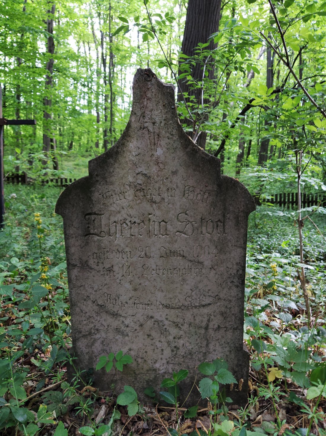
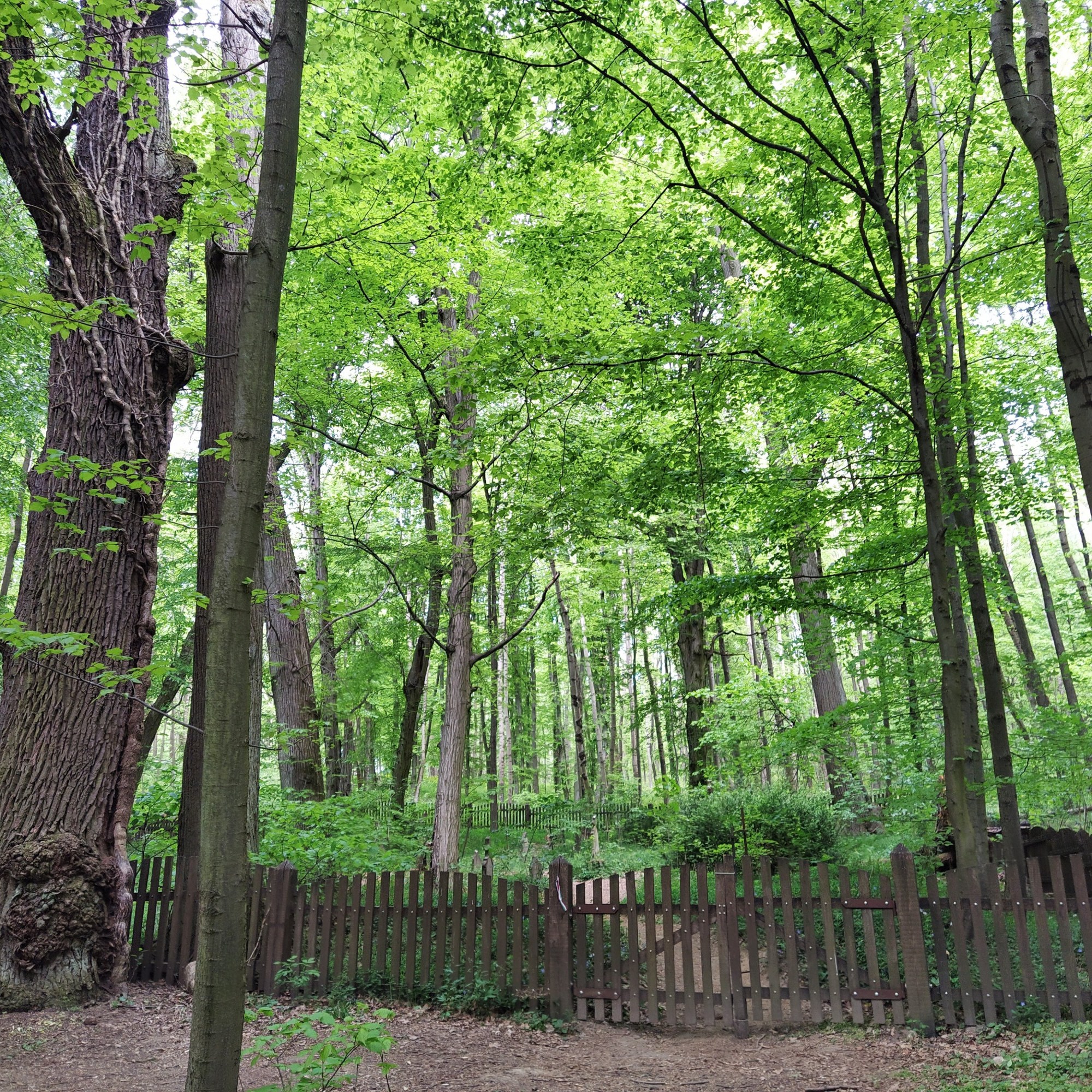
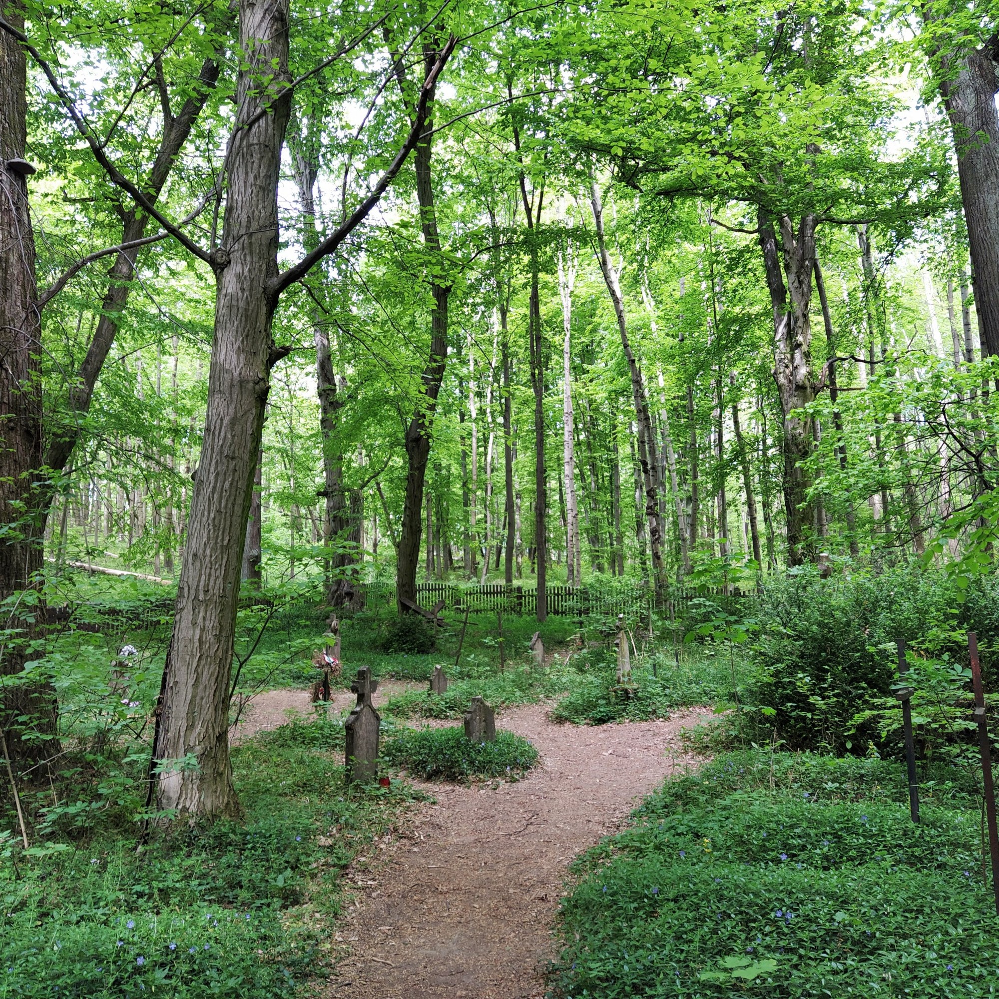
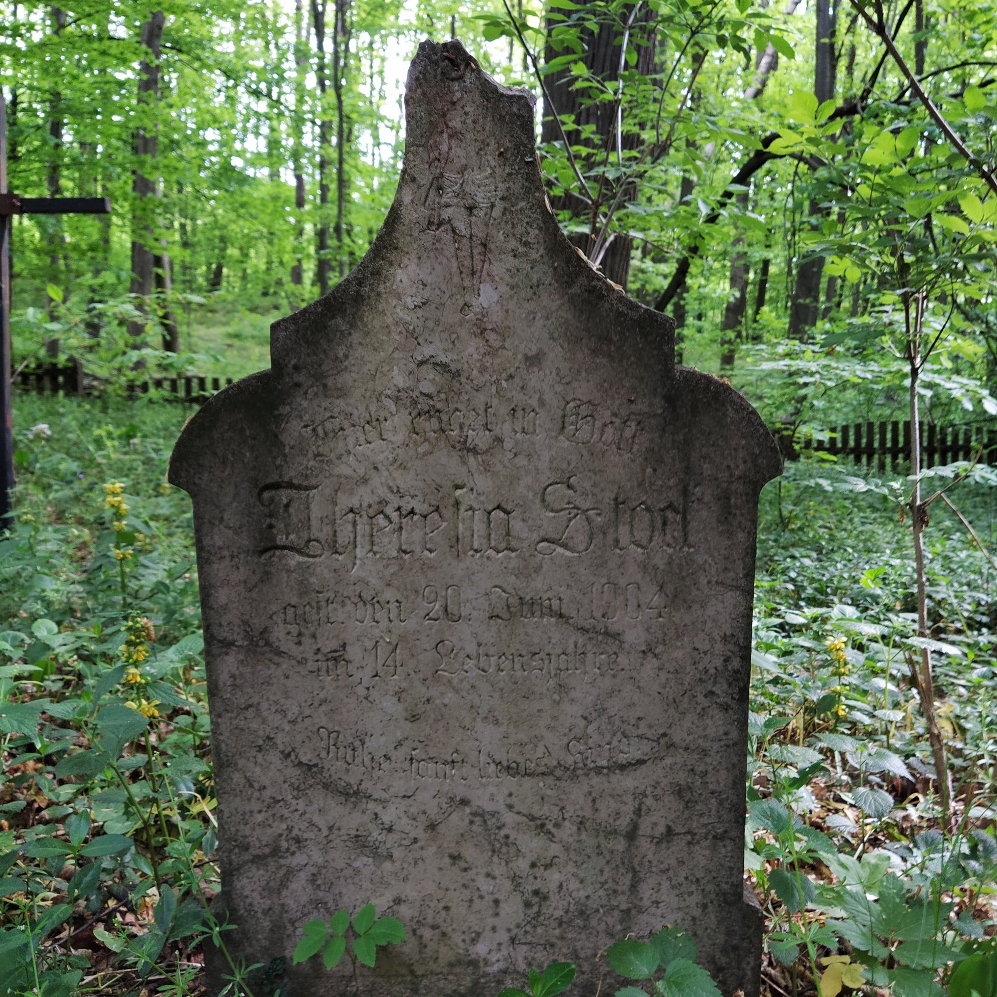
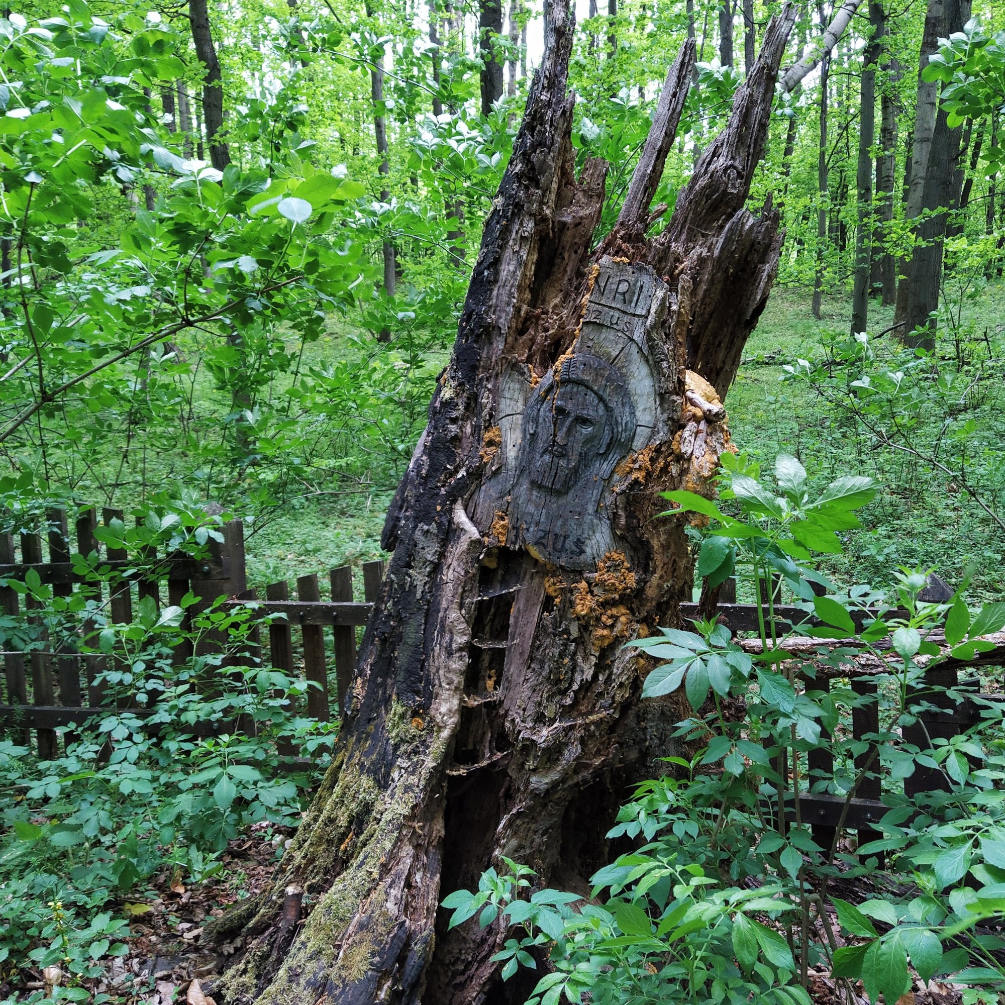
Filled up with the beautiful panorama, we carried on to our next destination, a forest cemetery that once belonged to the village of Körtvélyes. The light was filtered by the leaves giving a soft, green hue to the tiny graveyard. What a final resting place for those few souls, they became one with nature again. Seeing this cemetery was a unique experience, a little enchanted spot: mystical, utterly calm but with the feeling of decay.
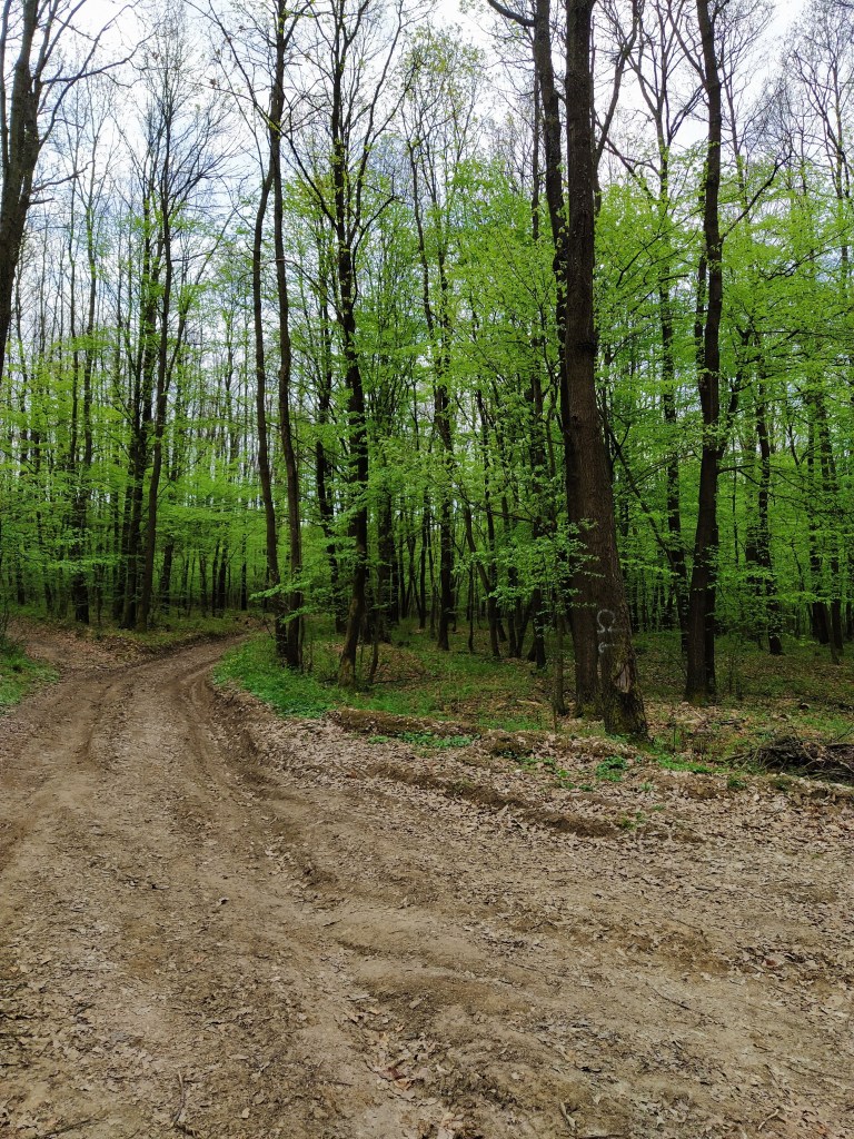
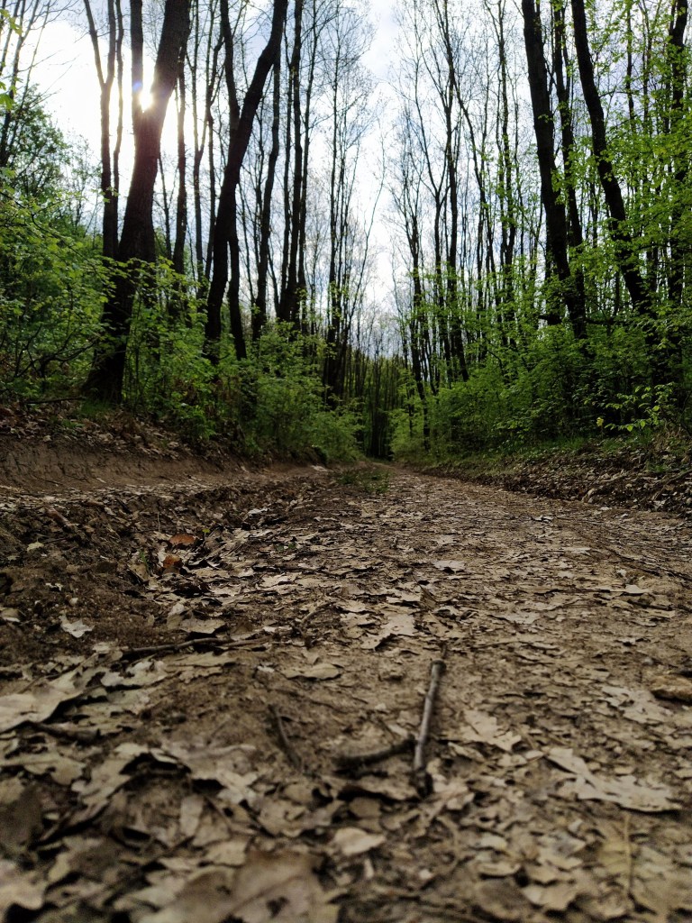
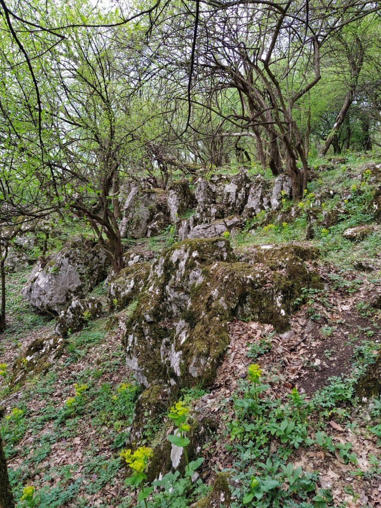
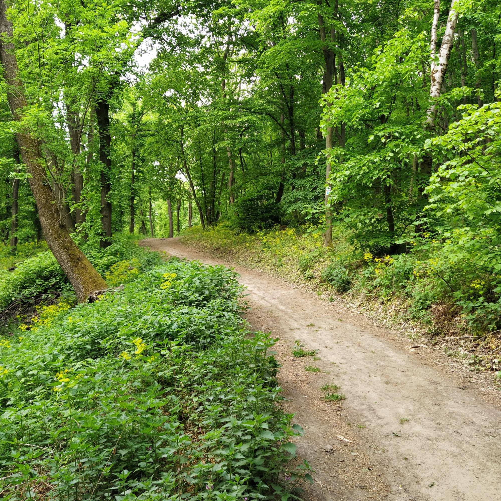
Next, we reached a T-shaped junction and turned right on the blue trail. The next part was quite depressing, the forest is ravaged by logging, whole patches were cut clear, other parts on the verge of being cut down. I felt sad, angry and helpless. Why is mankind is so intent on destroying?
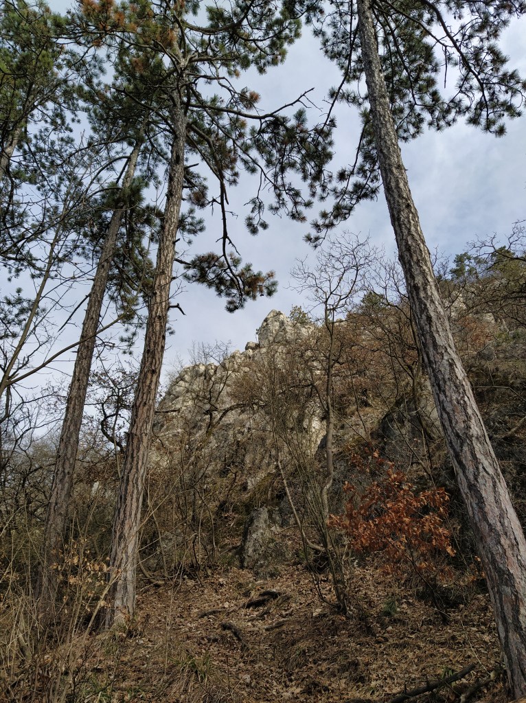
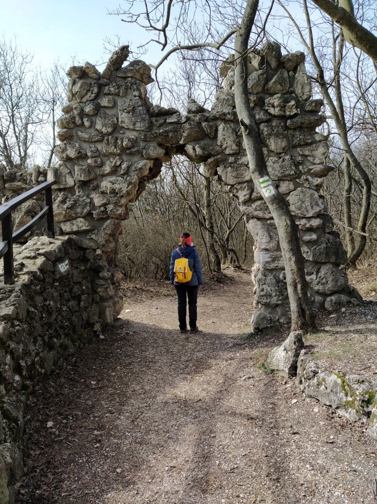
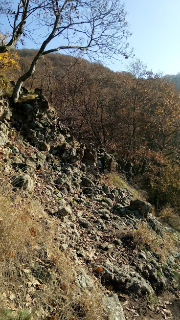
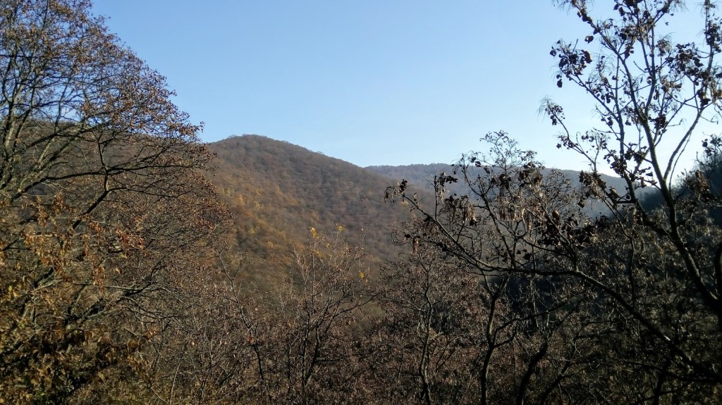
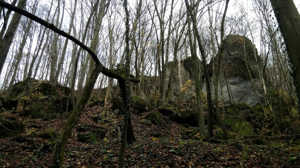
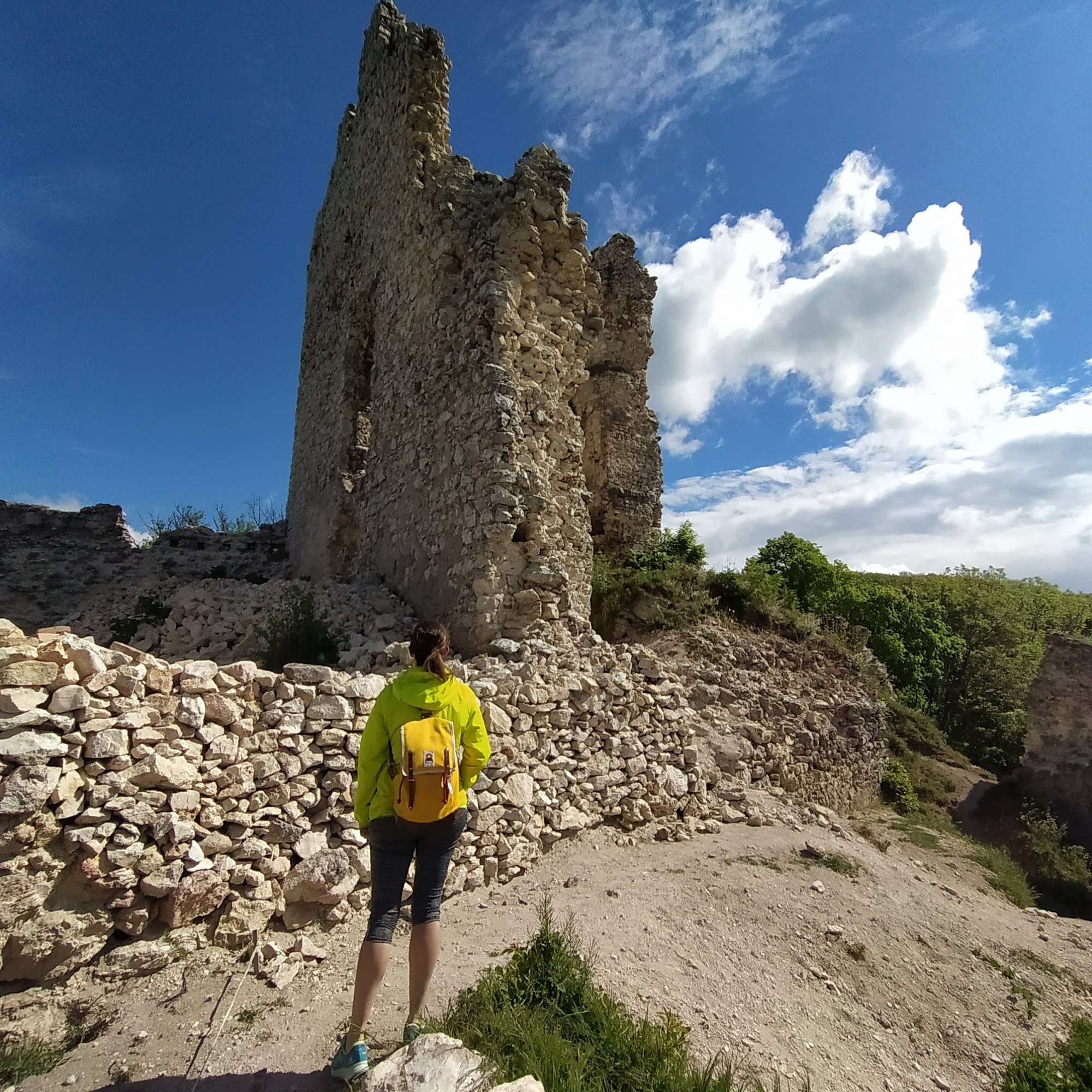
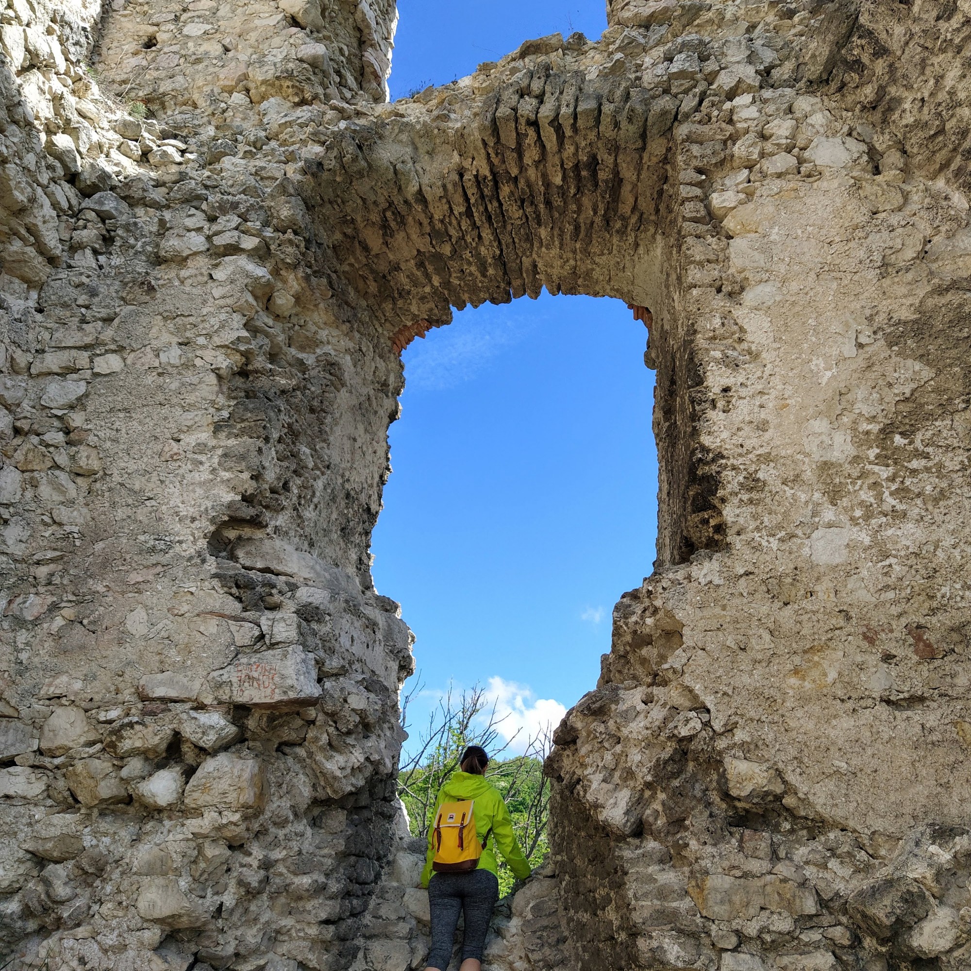
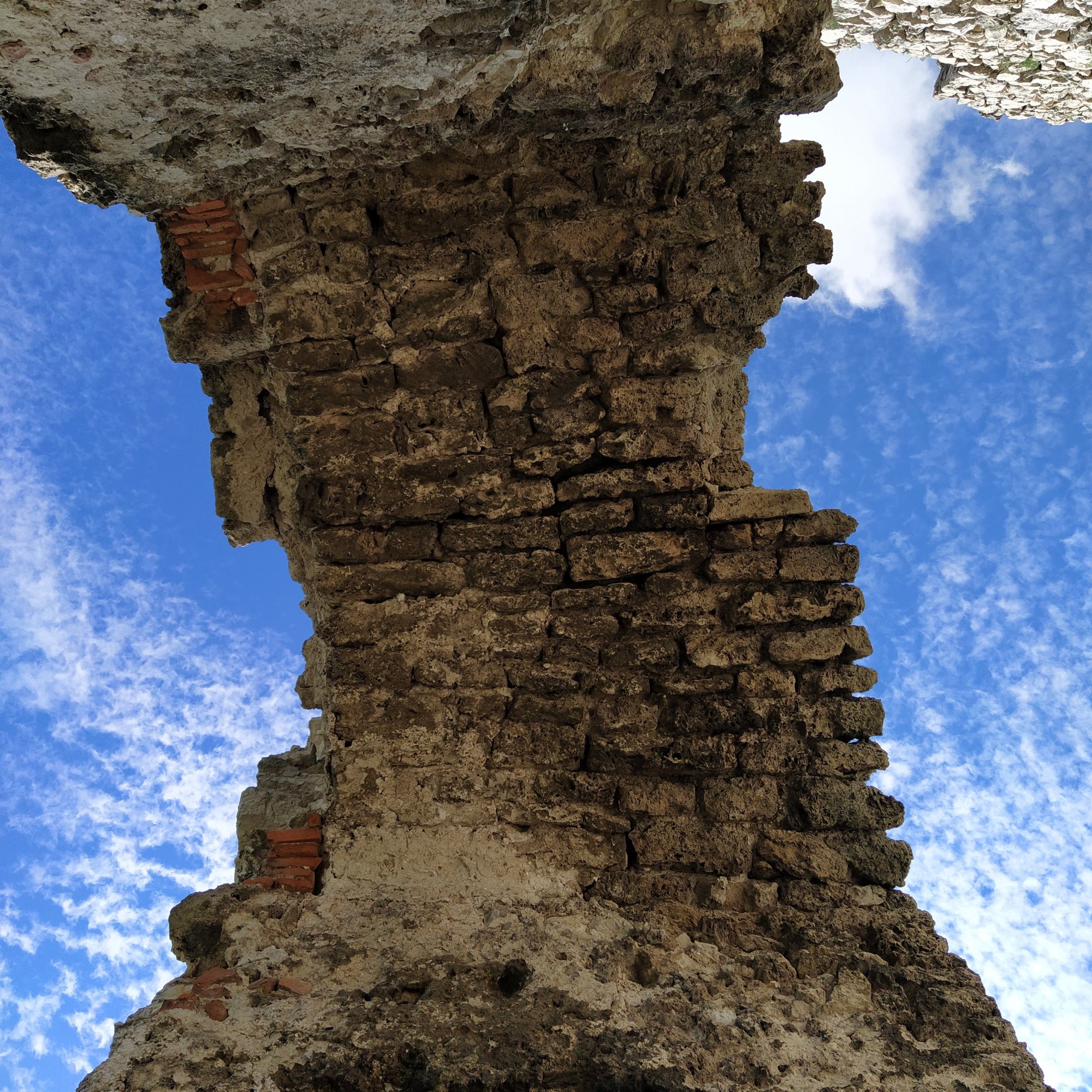
We slowly left behind the devastation on our way to the ruins of Vitány castle. Presumably it was built in the 13th century, during the Turk invasion it bounced between the Hungarians and Ottomans, finally in 1598, the Hungarians blew it up so it wouldn’t end up in Turkish hands. Then the rocks of the fortress were taken and re-used by the locals, despite it’s troubled history, today it still cuts an imposing figure, the sand coloured blocks contrasting nicely with the blue sky.
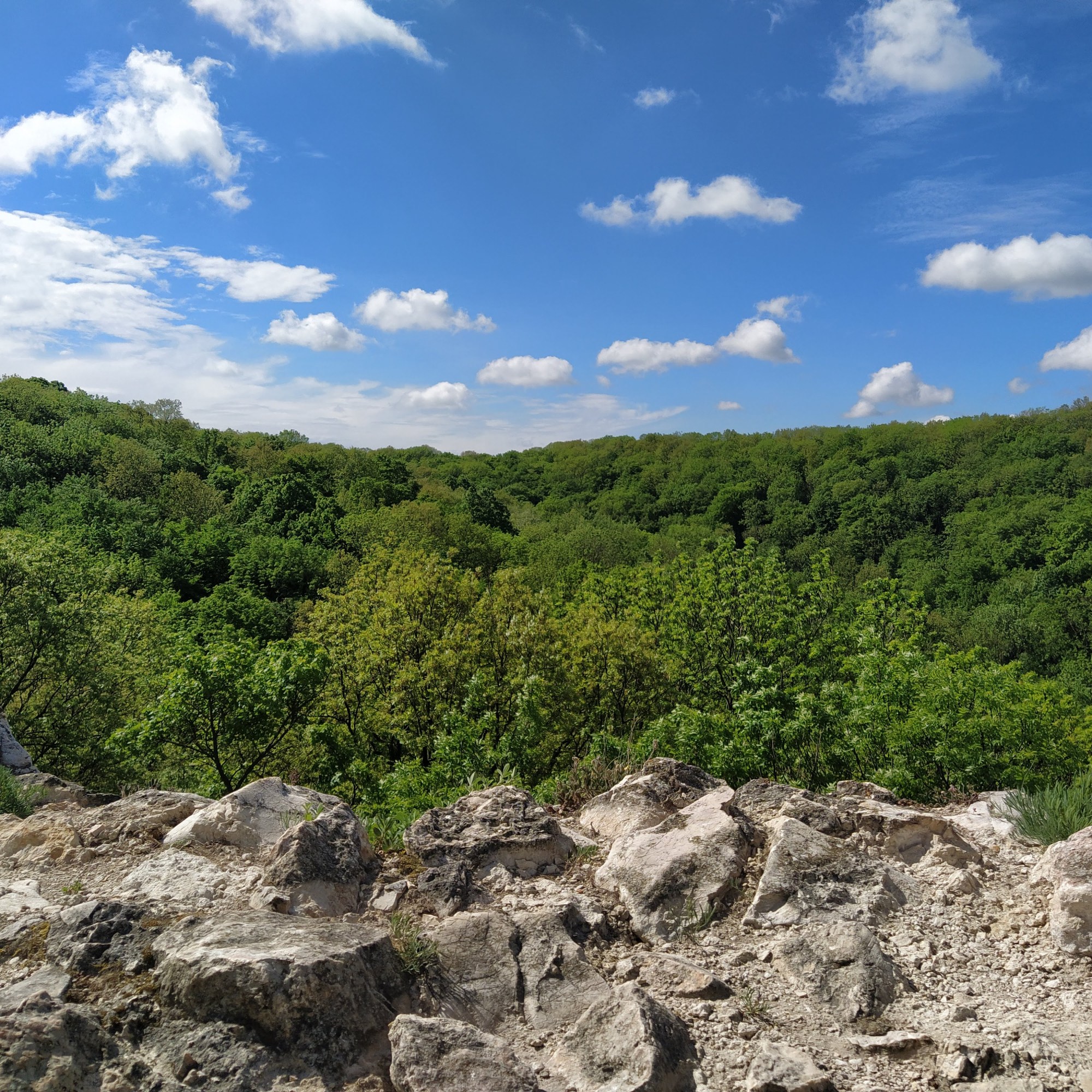
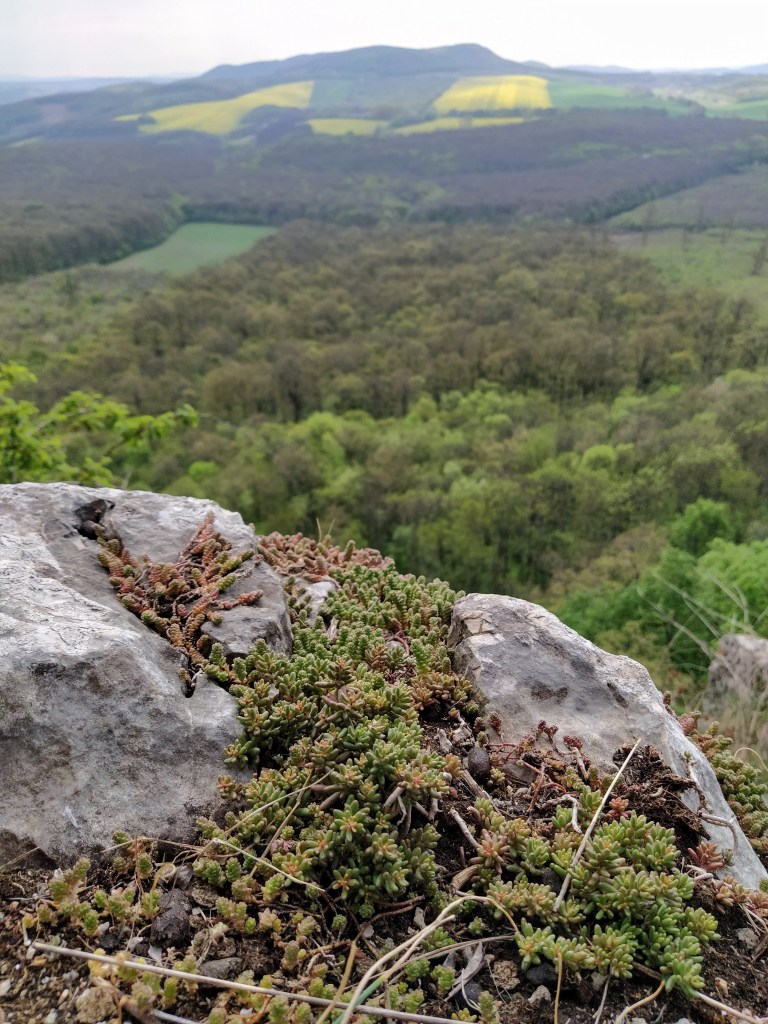
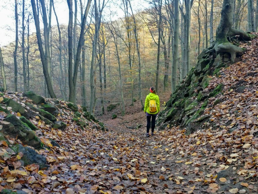
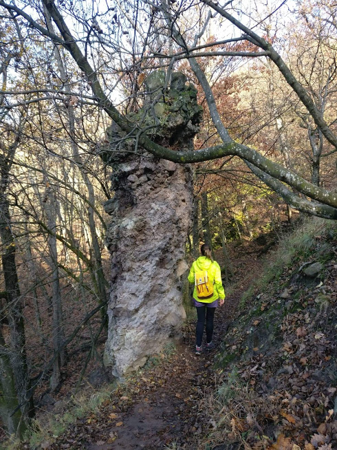
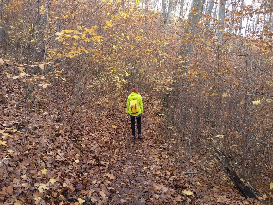
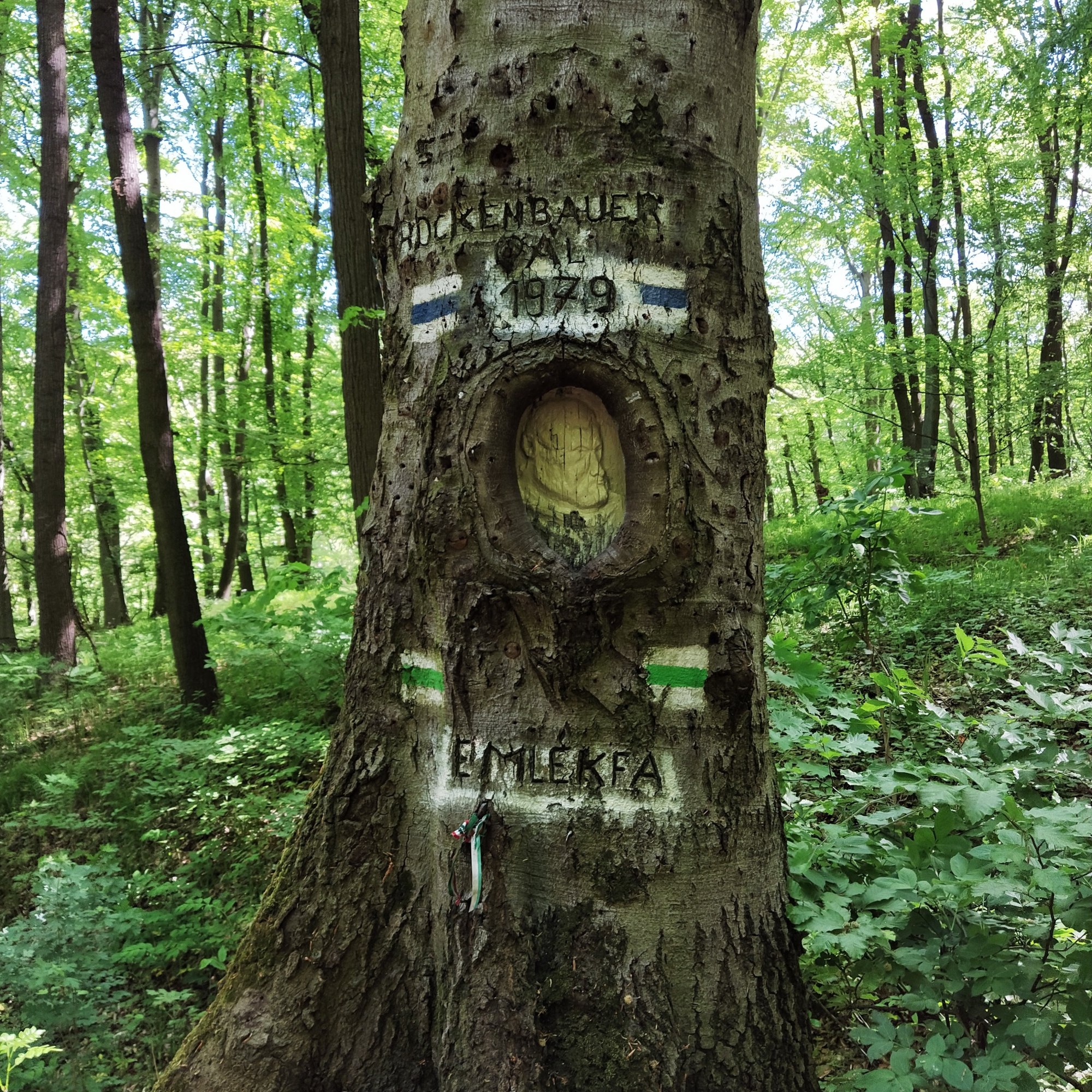
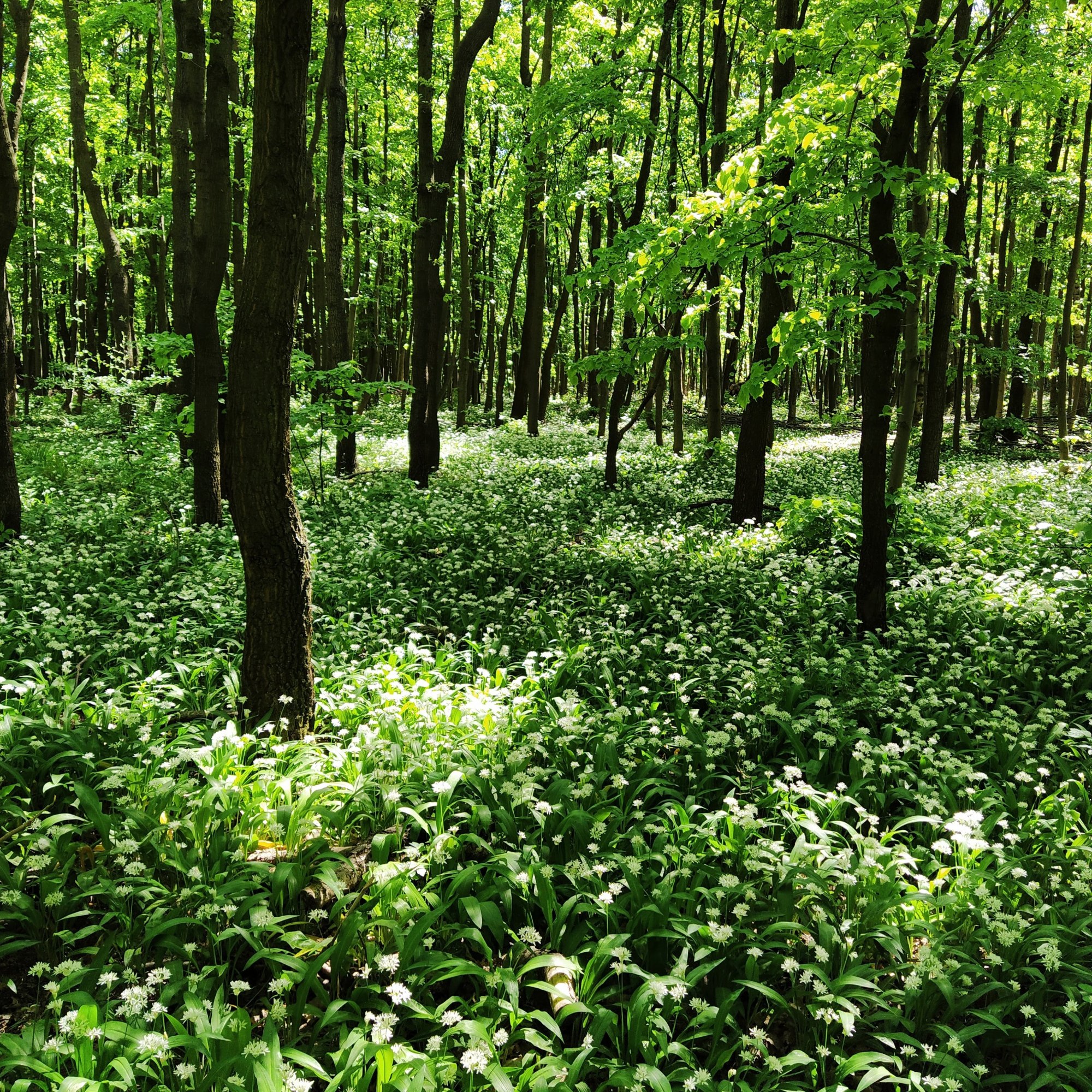
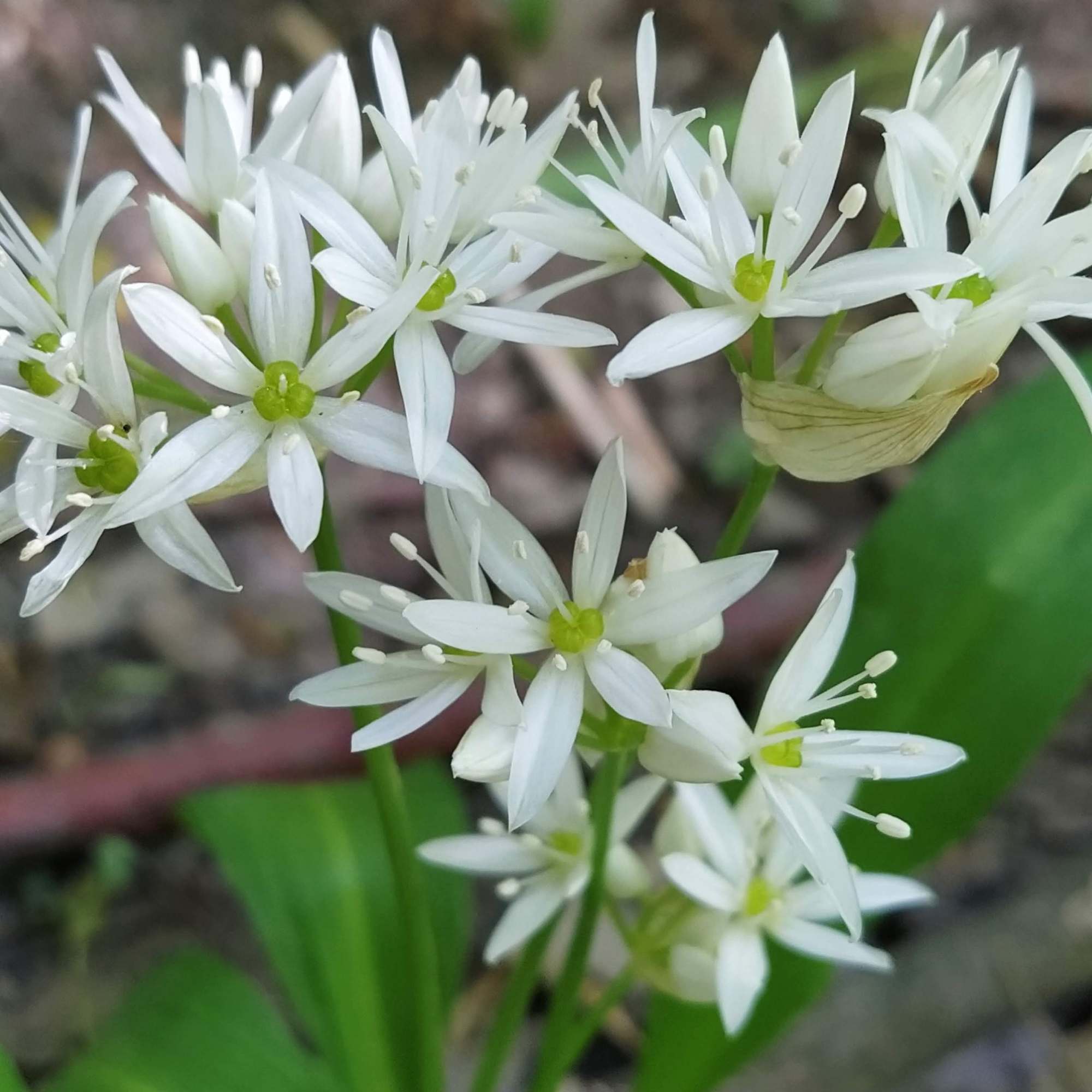
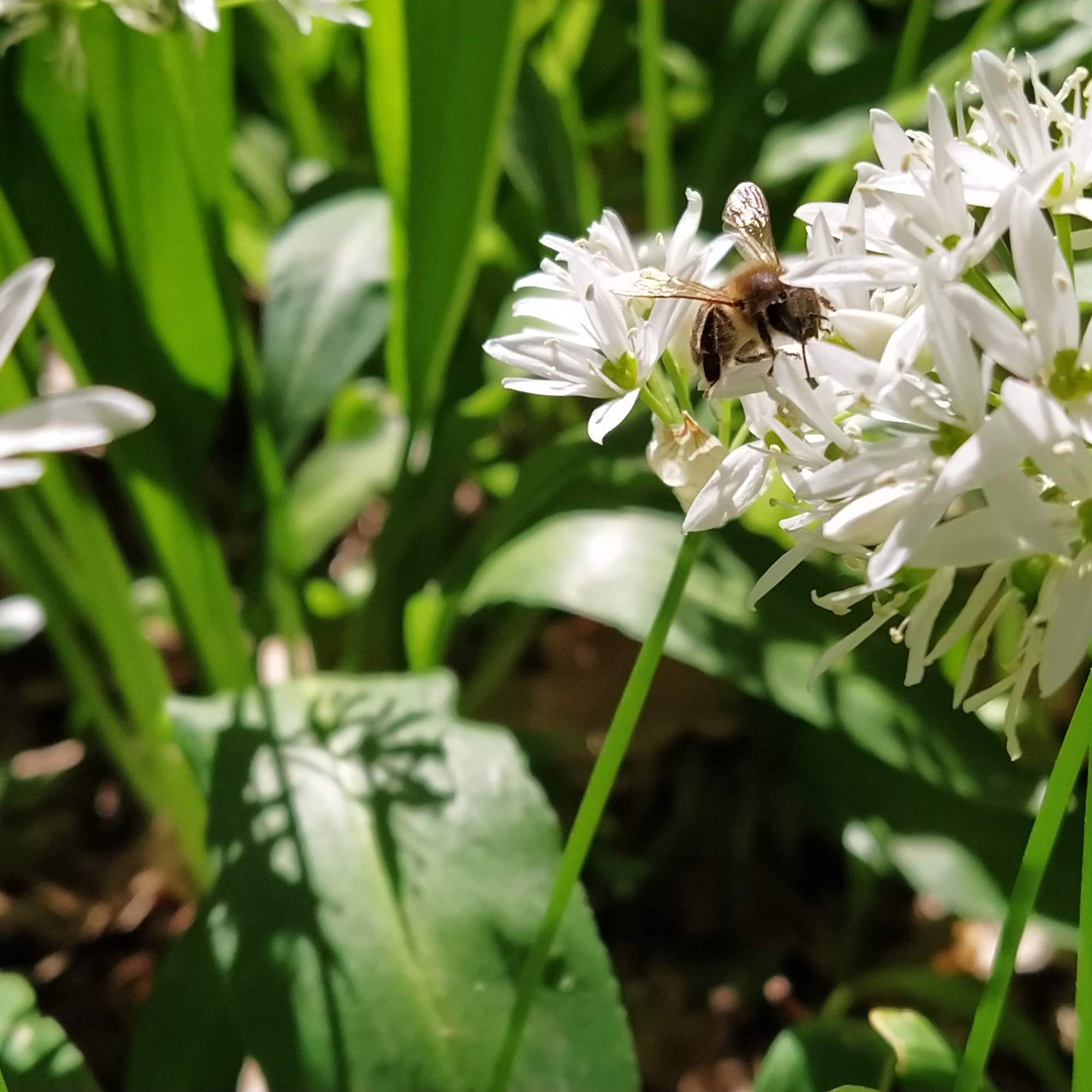
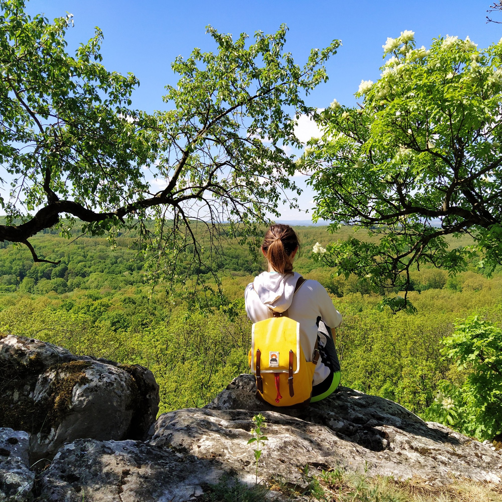
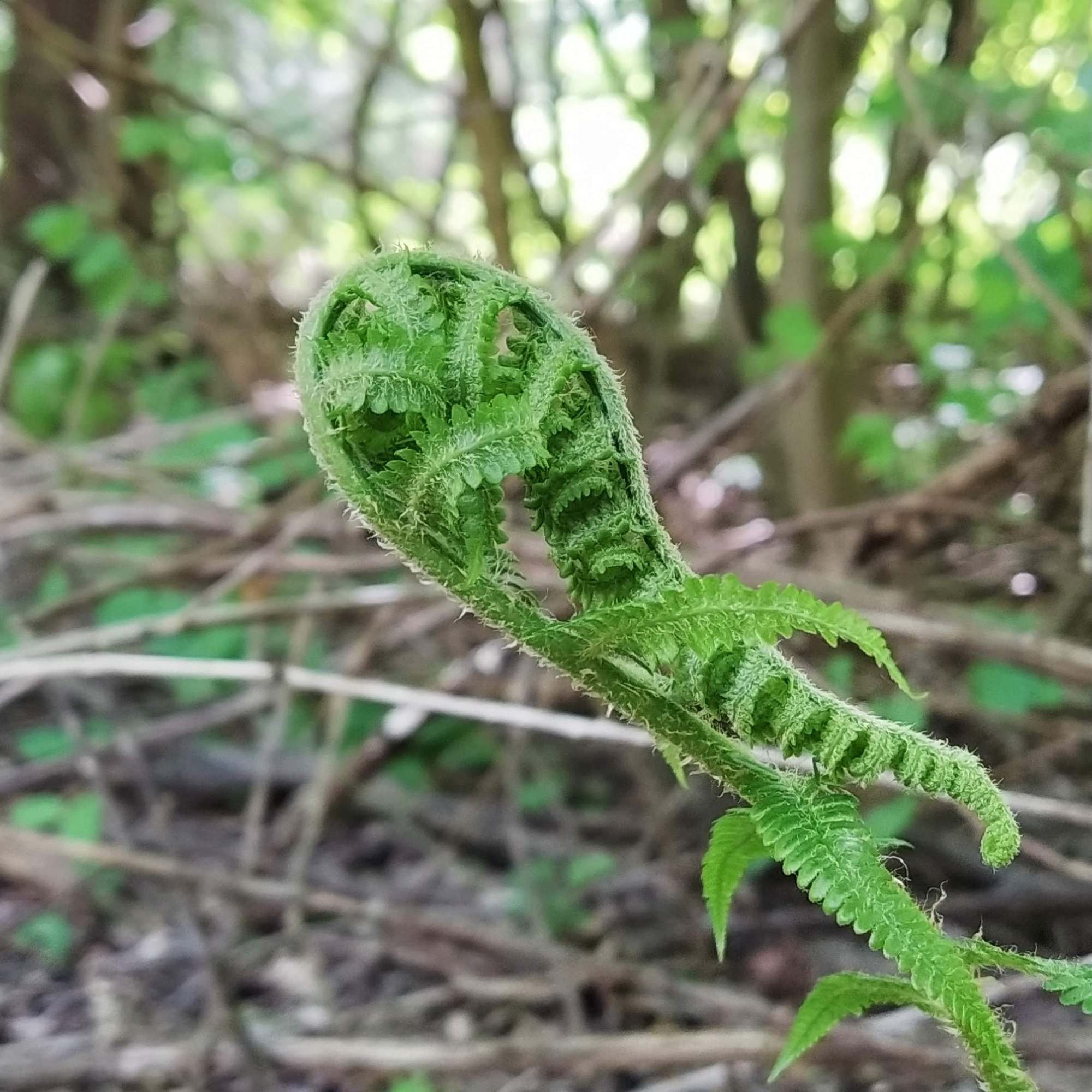
We descended into the valley, the trees along the path were decorated by someone with artistic aspirations, Hungarian crowns and guiding signs were carved into the trees. Shortly after passing the Rockenbauer memory tree (the founding figure of nature filming in Hungary ), the green and blue trail splits and we took the green one but only for a short time, then we continued on an unmarked path that leads to the Gráciák Bérce (Crag of the Graces’), rock formations at the edge of the mountain with a wonderful view. I was on the lookout for wild garlic as I read that there’s a large patch somewhere on this trail. I was already preparing myself for disappointment when we spotted the white carpet of the wild garlic flowers. As we got closer, we hit a wall of garlicky perfume, it made my mouth water, but they don’t taste good after blooming so we didn’t pick any, maybe next year.
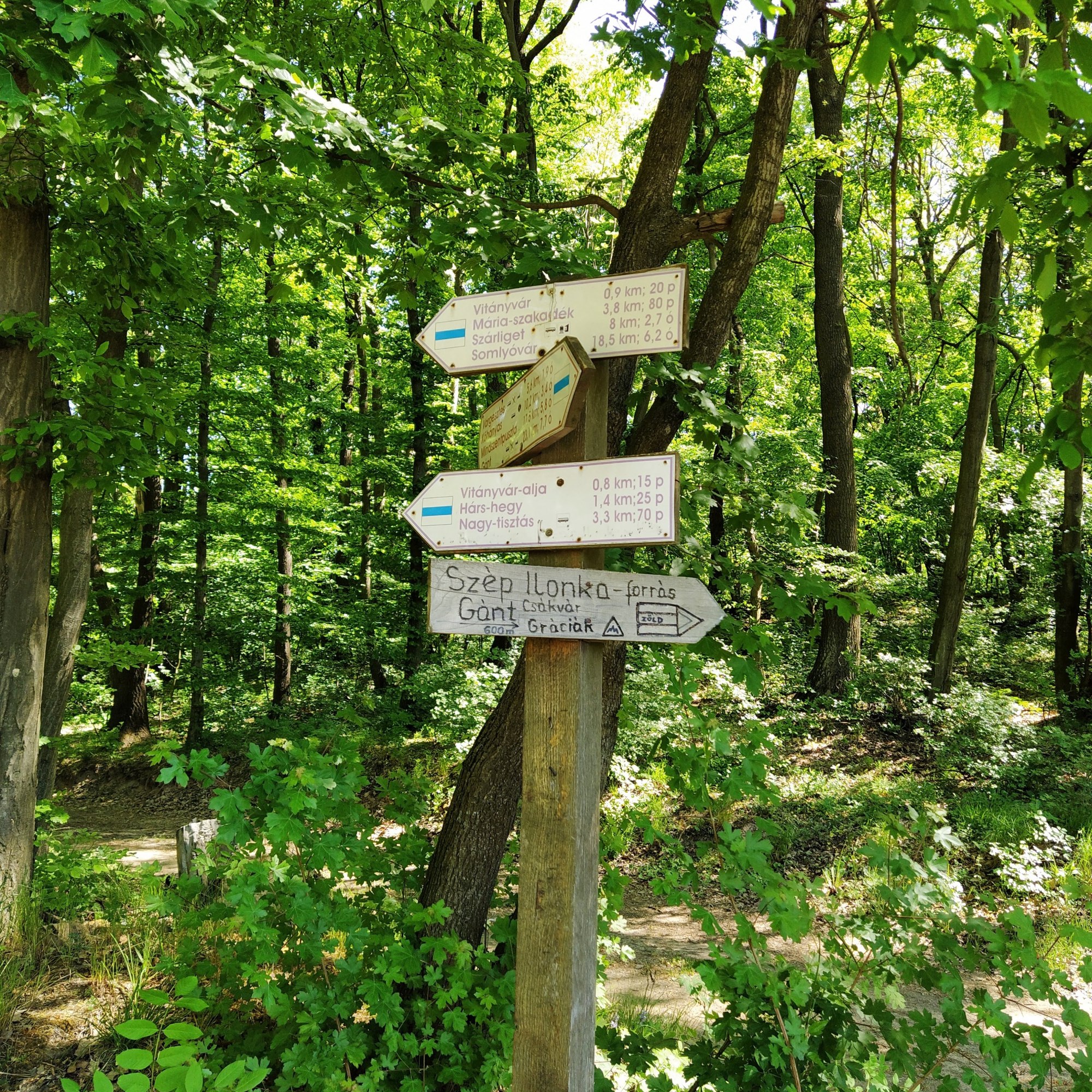
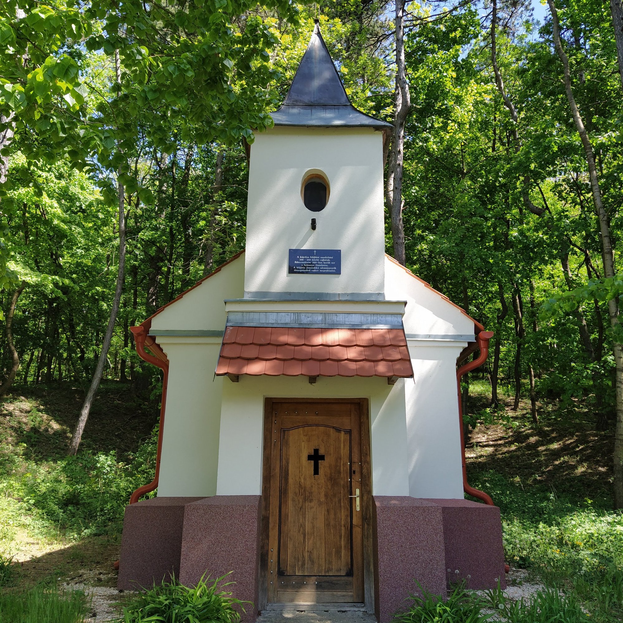
Two sandwiches and hundred photos later, we carried on with the hike and descended to the Szép Ilonka spring, which was a bit of a let down for me ( I even forgot to take a photo), especially since we came down so far into the valley only to check it out and had to climb back on the steep path . As we approached the T-shaped junction again (where we turned right to reach Vitány Castle) , we passed along a few patches of pine trees that looked a little ominous – I wouldn’t be surprised if the witch’s gingerbread house was hidden somewhere the trees – and a quaint little chapel.
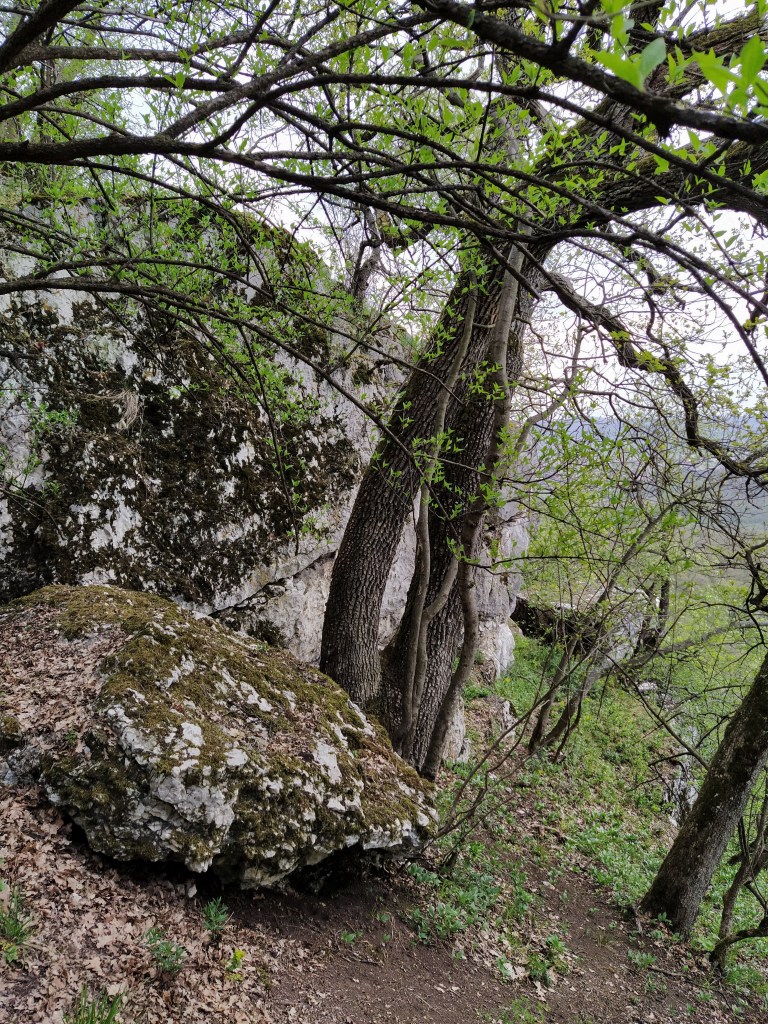
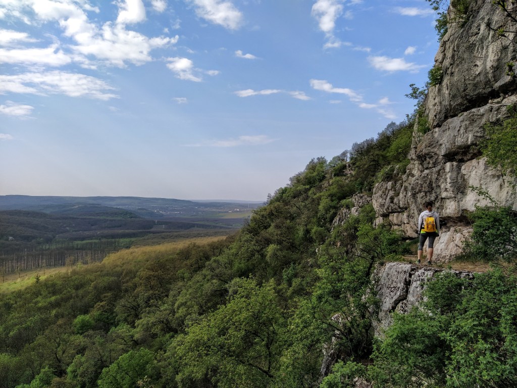
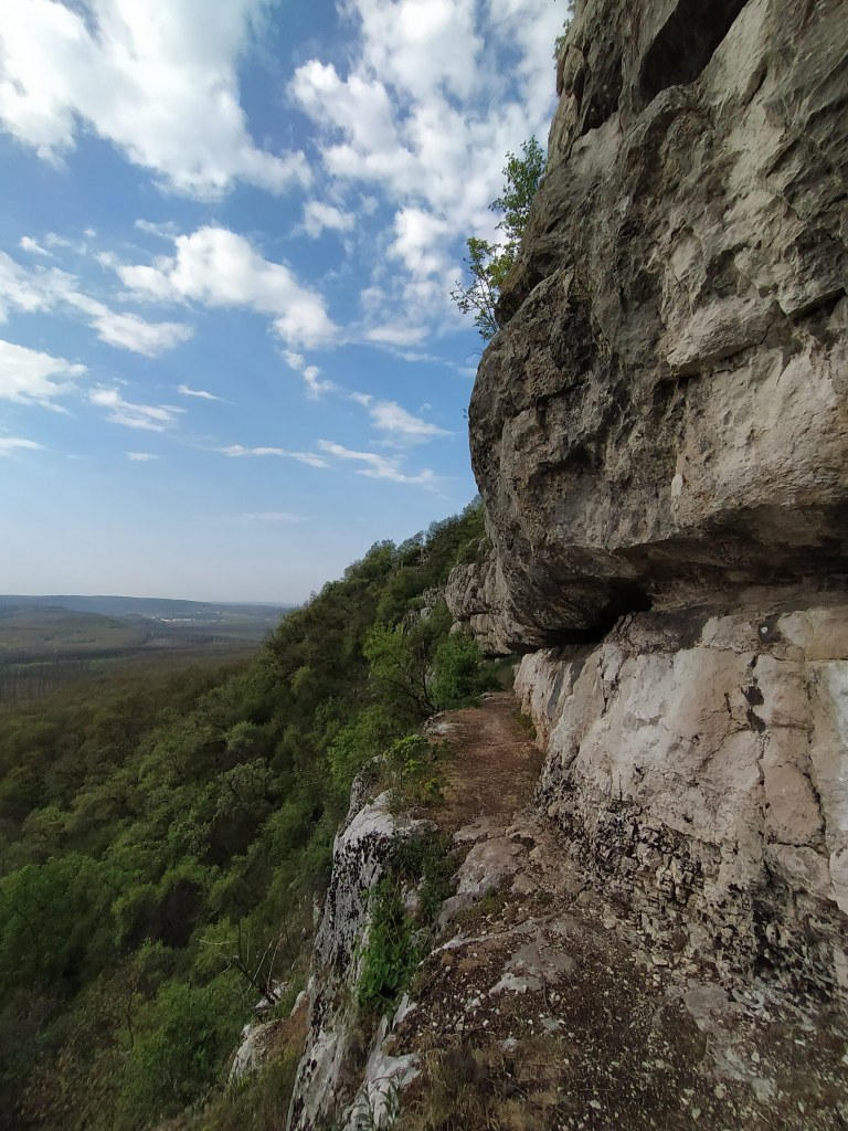
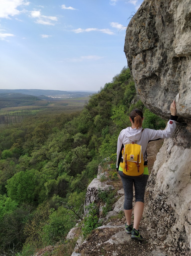
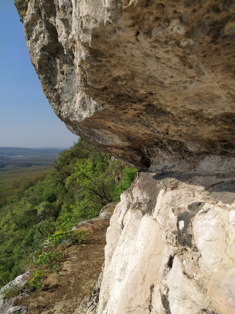
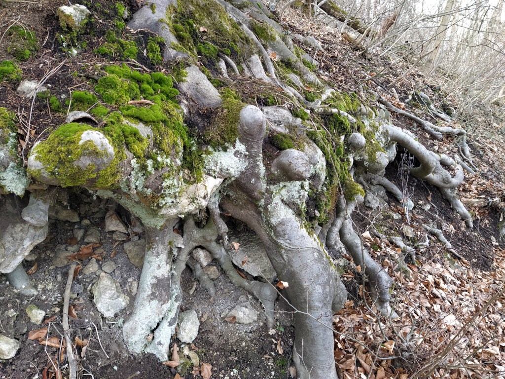
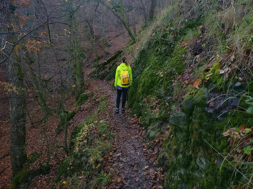
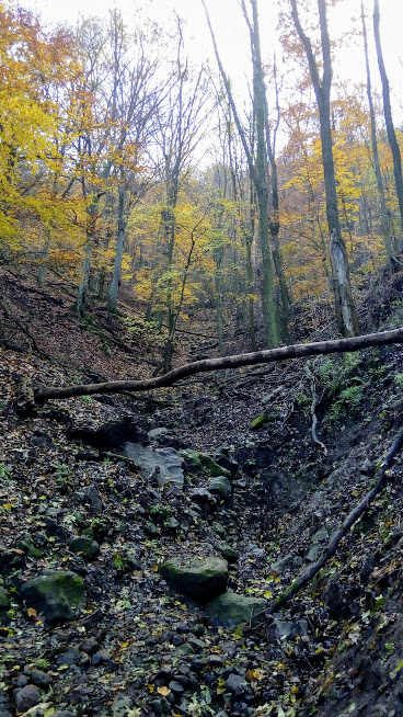
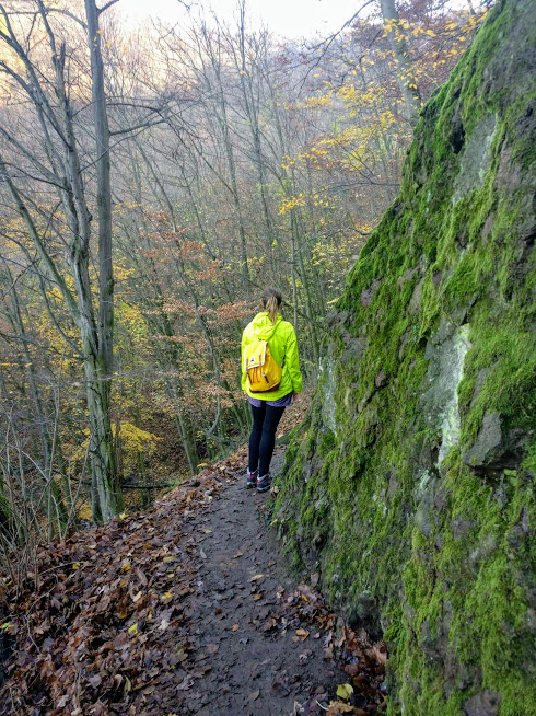
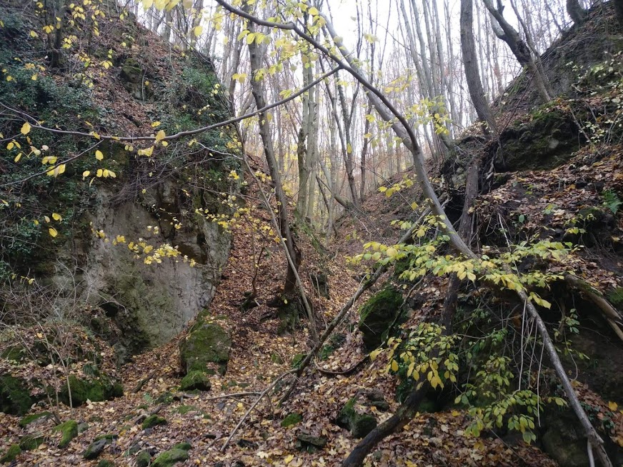
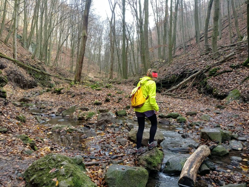
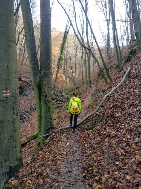
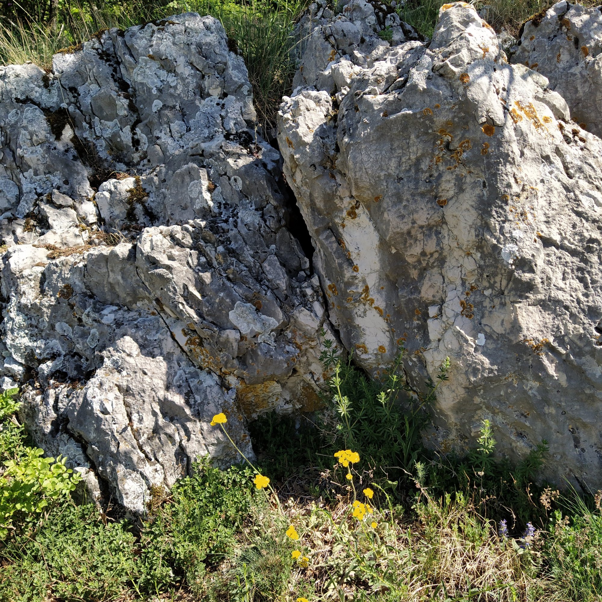
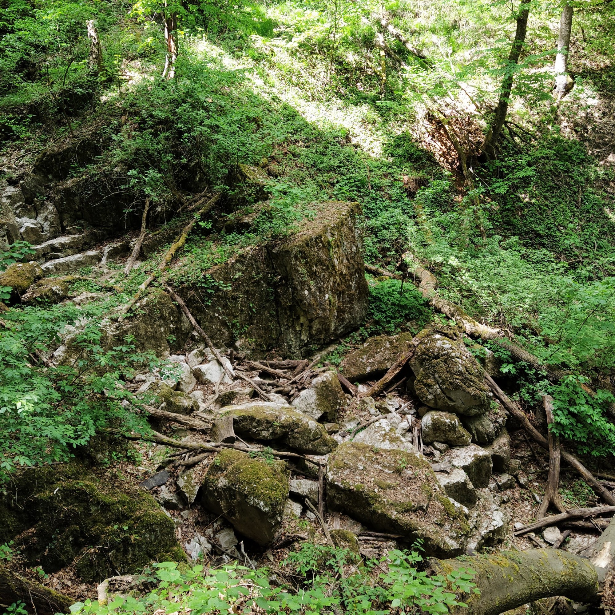
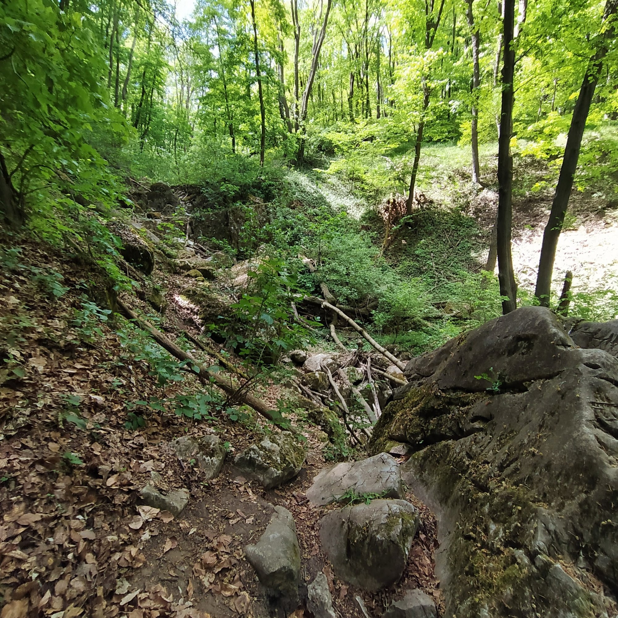
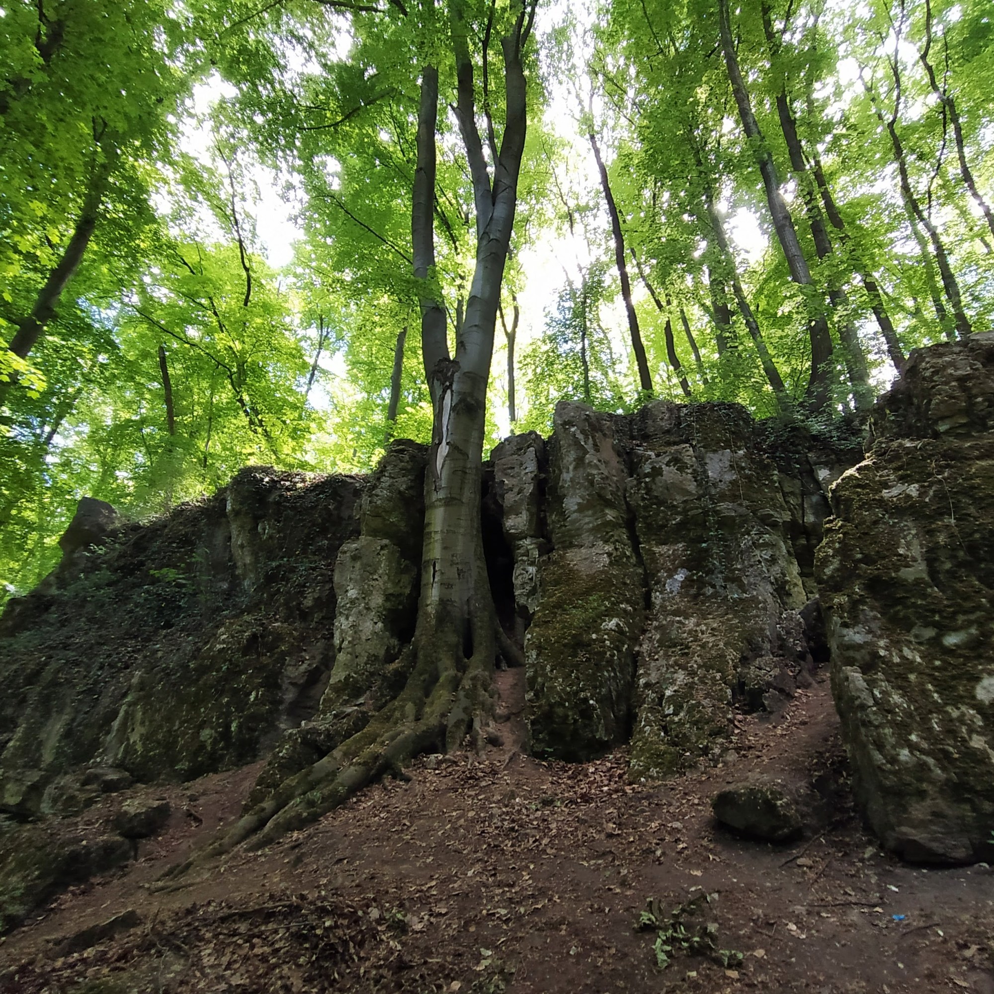
We walked along the Mária Gully on a narrow path and our progress made slower by fallen trees blocking the way, the trench below us became deeper and deeper. Halfway through great, white limestone steps can be found where once upon a time water rushed along but sadly it’s dry as a desert nowadays. Next to the limestones, when we looked up to our right we saw a moss covered grey rock wall with ivy snaking around, looking like an entrance to an ancient Inca city. Maybe the rift in the wall would have taken us to El Dorado, but it looked a little too narrow for a person my size, we will go back and try to go through once my beach body is ready… so never.
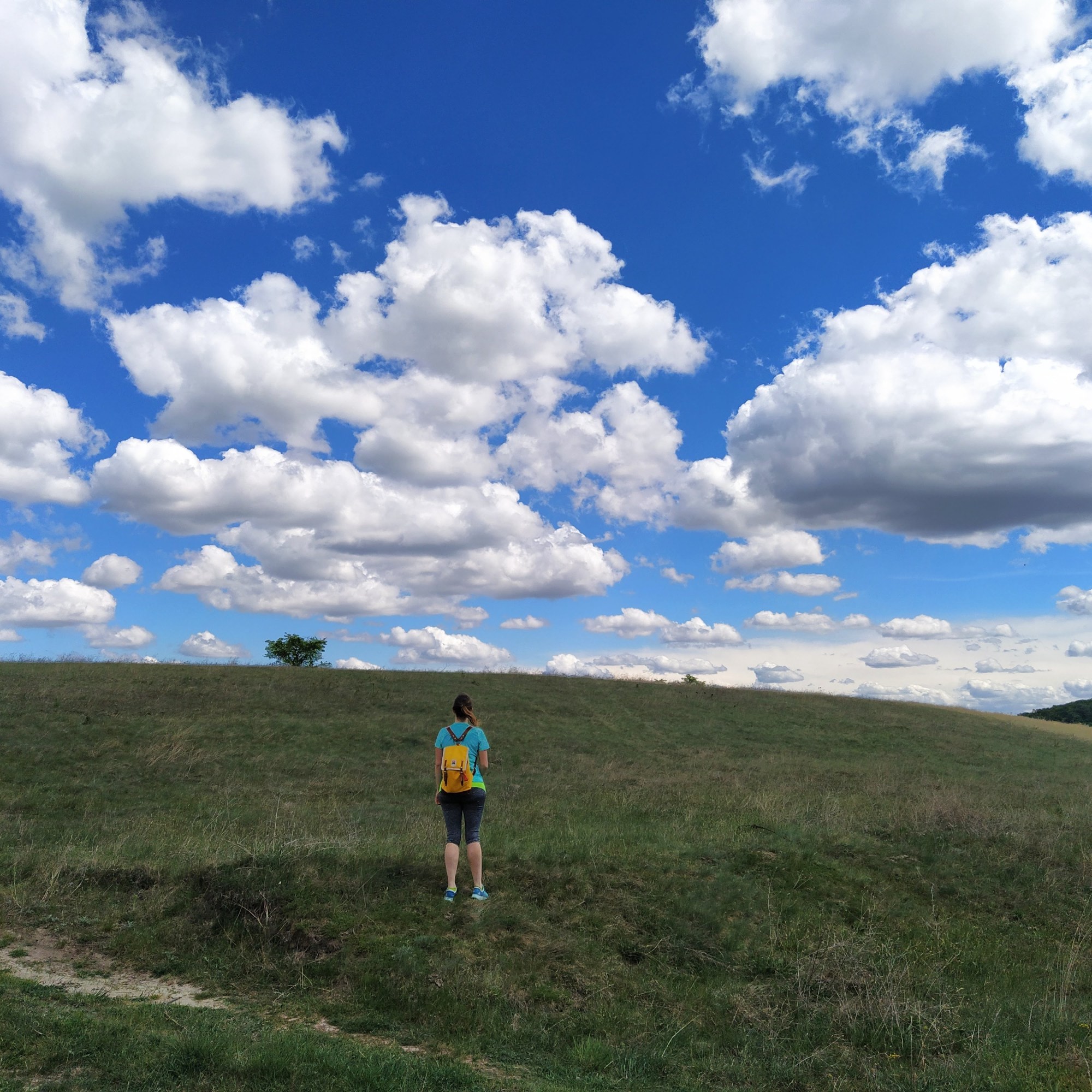
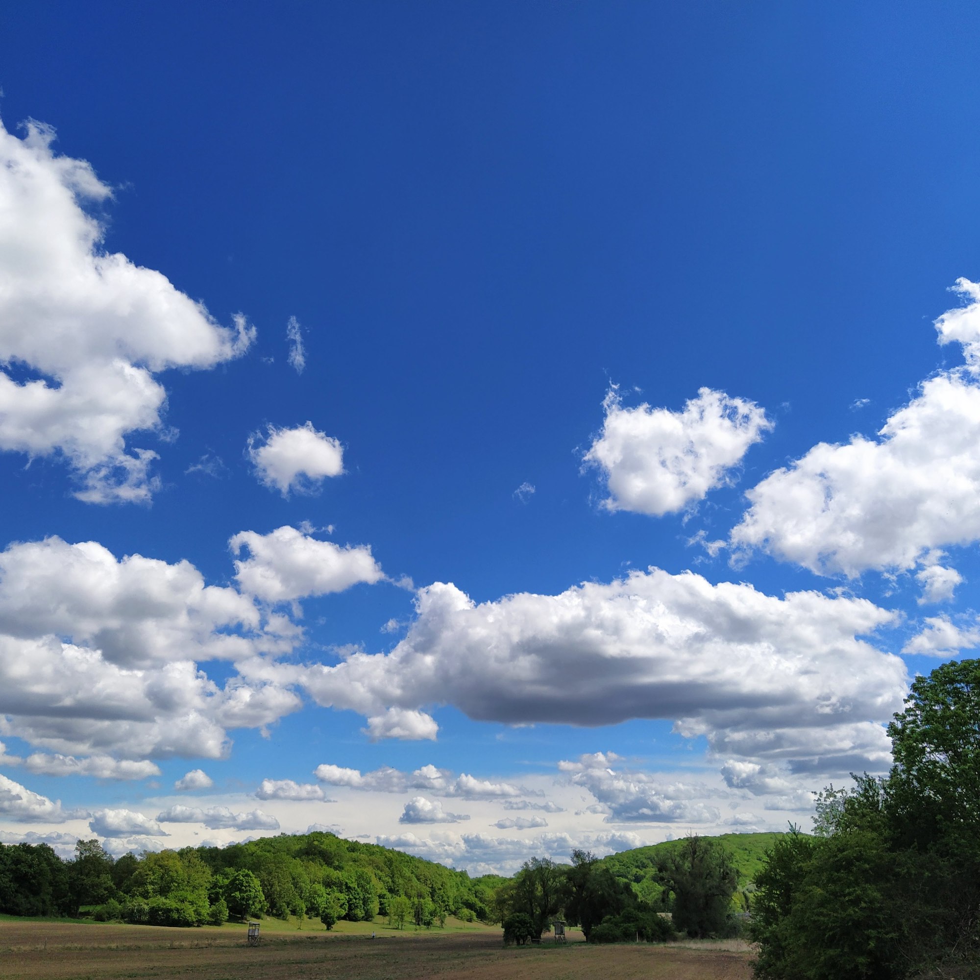
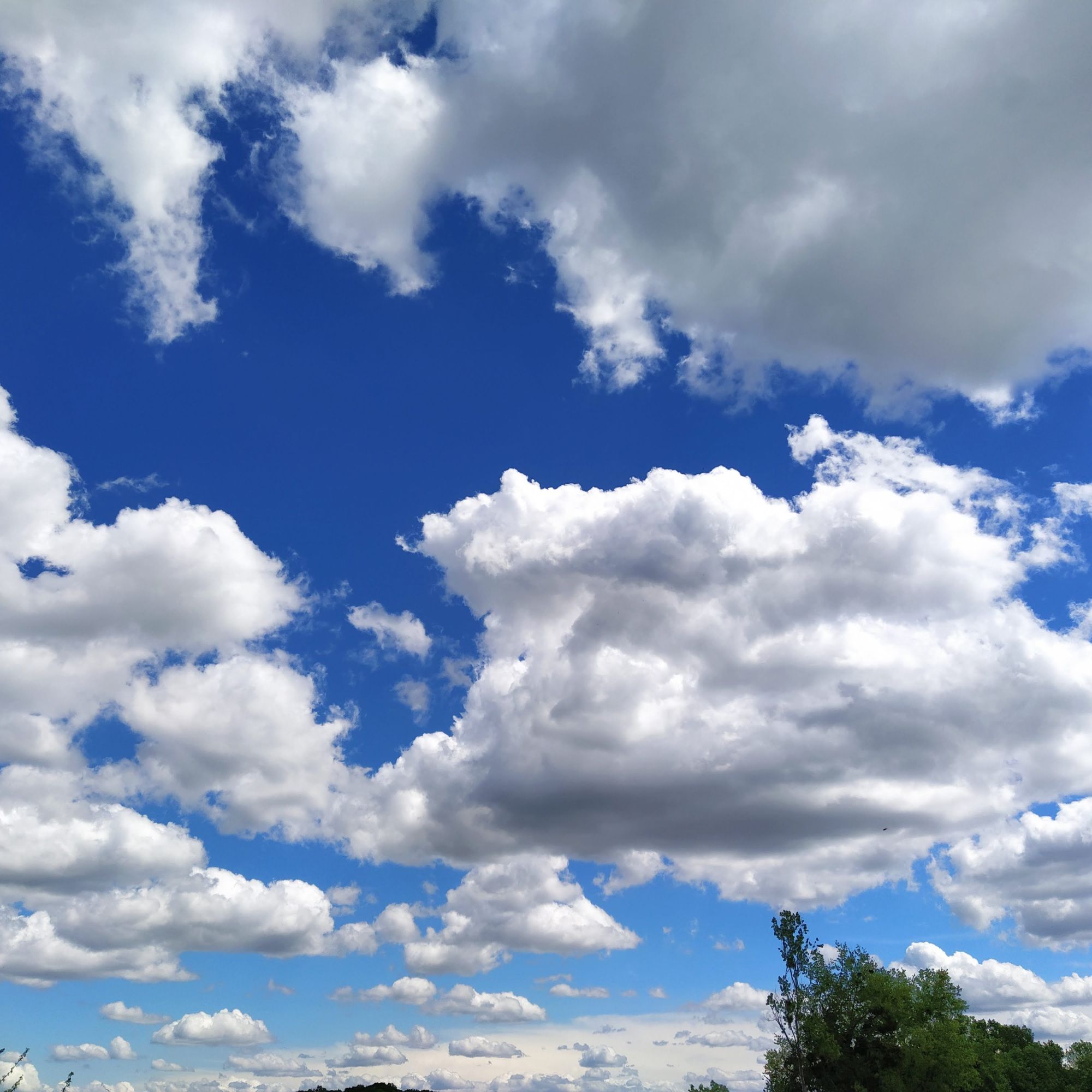
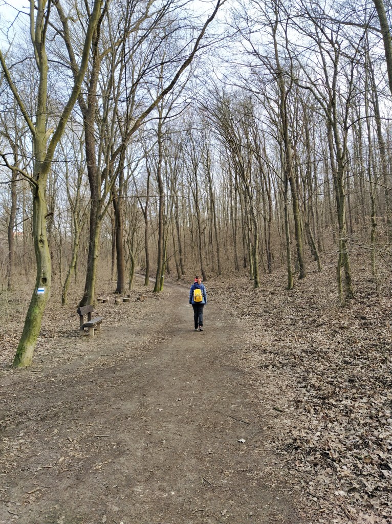
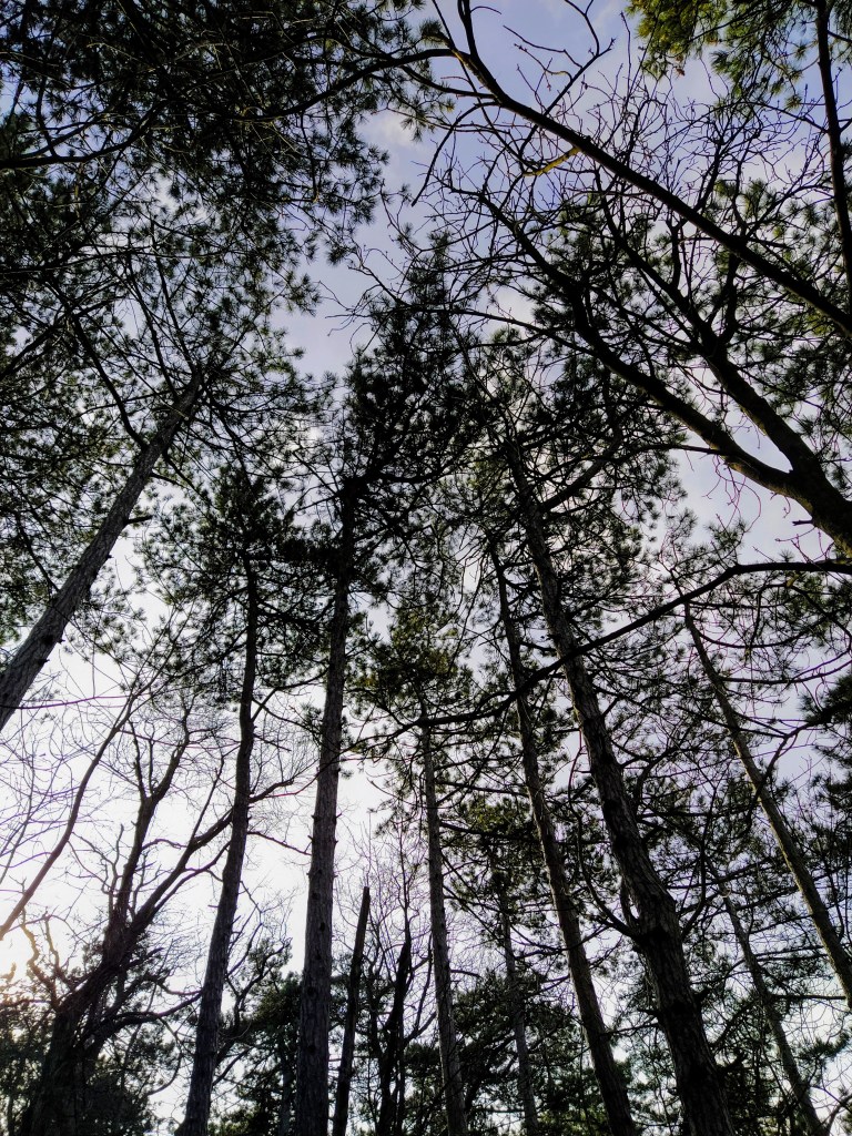
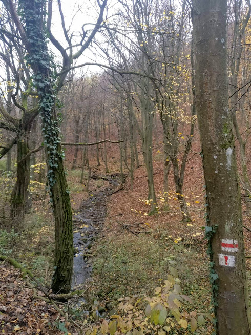
We slowly left the gorge and arrived back to the tourist house and made our way back to the car … but first I made a ‘few’ photos of the lovely fleecy clouds sailing across the blue sky. In Hungarian, we call them lamb clouds because they are so fluffy and white like lambs, although they remind me of yummy candies that would taste like marshmallows. With that whimsical parting thought, see you in the next post.