

On a crisp March Sunday morning we set out to conquer Dobogókő and the surrounding area.As this is a popular destination during the weekends, we arrived early to avoid the crowds. We were not wrong in our thinking, in the morning we had the whole place almost to ourselves, later when we got back it was swarming with people.
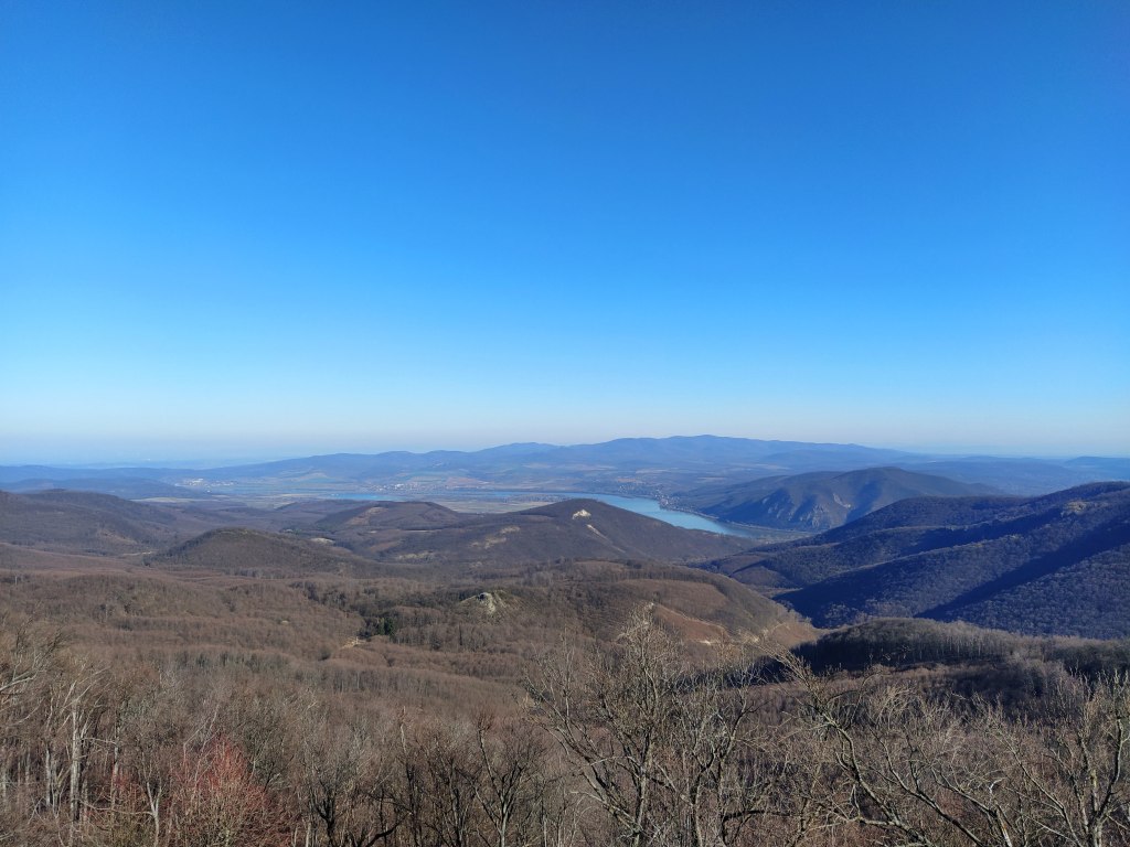
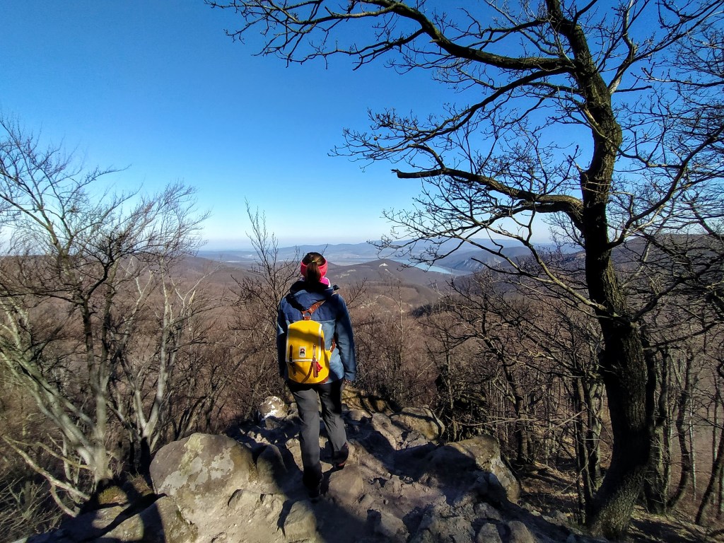
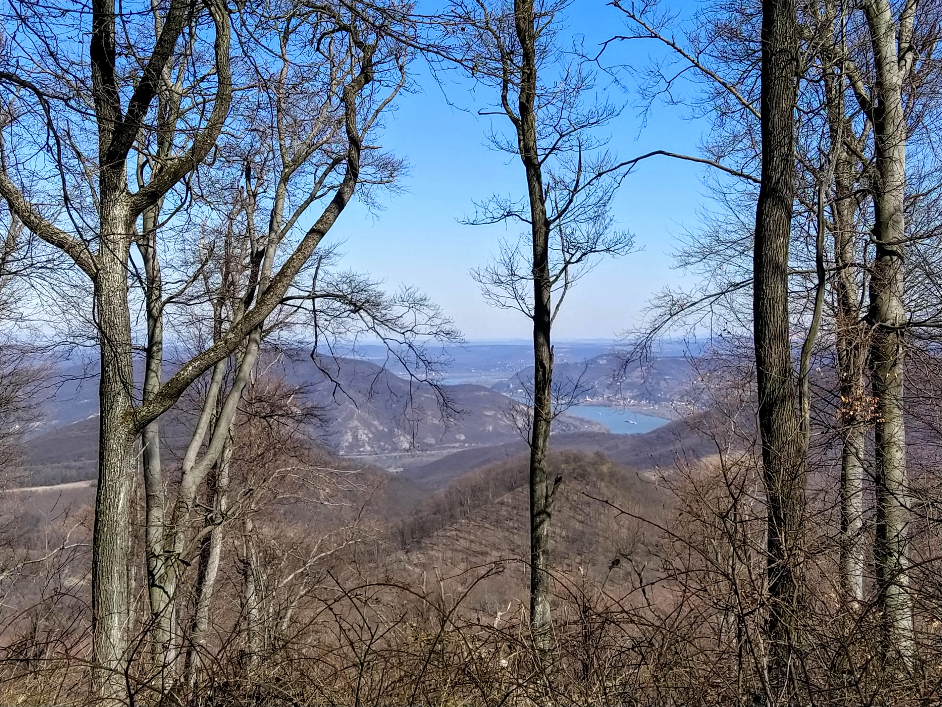
Dobogó-kő with a hyphen (in literal translation Beating Stone or Stage Stone) is the highest peak of the Visegrádi mountains and of the Danube band with 699 meters. On a clear day one can see as far as the Tatras in Slovakia.
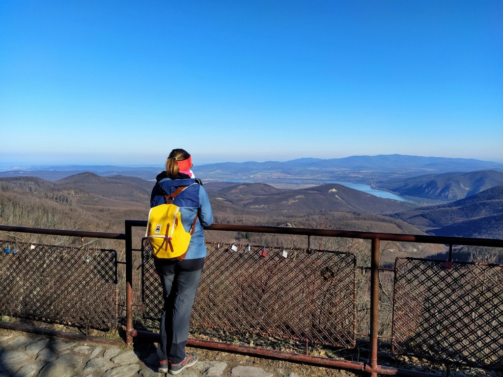
It’s unclear where the naming comes from, some say it’s a natural podium to gaze around, according to others, the Earth’s heartbeats can be heard from here. Naming aside, there is no doubt about one thing: the view of the surrounding mountains and the ribbon of the Danube river, paired with the unbelievably blue sky is absolutely breathtaking. I could have spent days there without getting bored of the panorama.
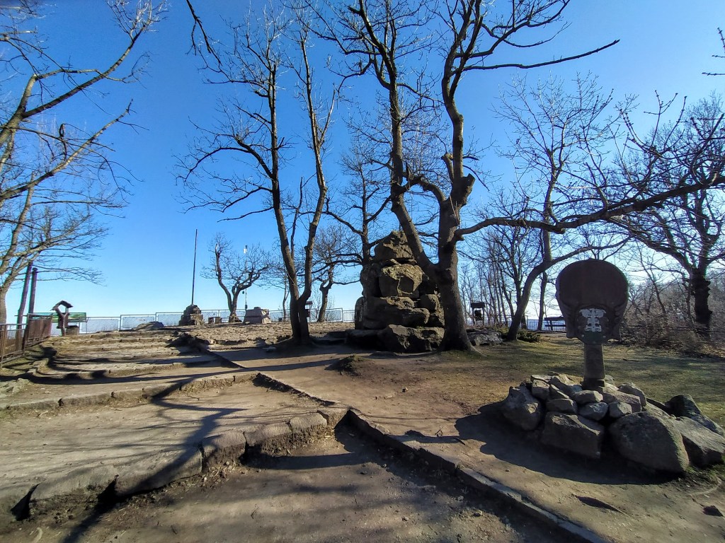
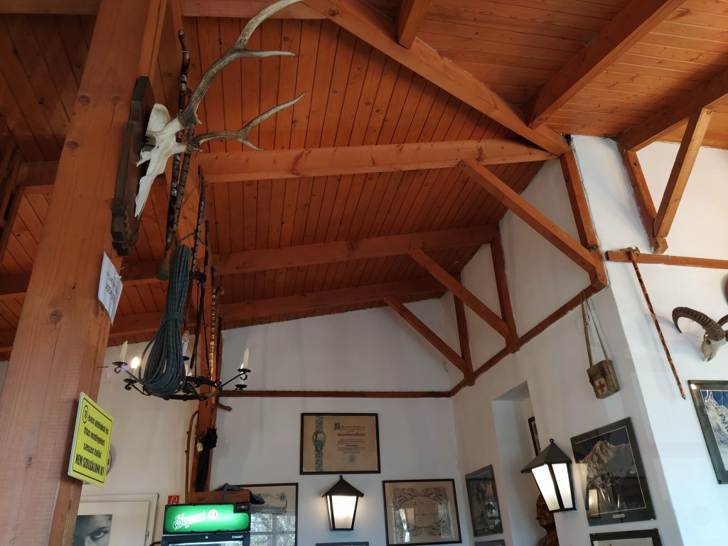
Despite the sunlight, the weather was quite chilly so after admiring the scenery, we took a little detour at the tourist house. I was quite taken with the interiors, old photographs, vintage hiking apparel mounted on the walls, it felt like travelling back a 100 years.

After a quick warm up (me) and a coffee (my boyfriend) we were ready to get the hike started.
Although soon as we stepped out of the tourist house, I got distracted by a group of cute little green birds, as a wannabe ornithologist I spent – to my boyfriend’s great pleasure- 10 minutes trying to shoot a nice photo of them but it was not meant to be. I’m guessing they were greenfinches but without photographic evidence, we will never know for sure.
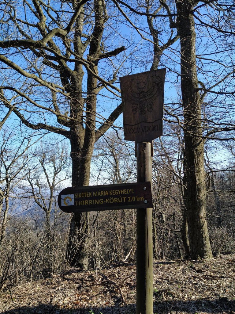
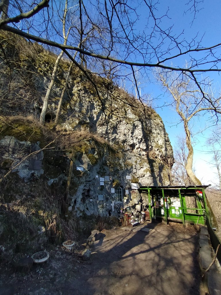
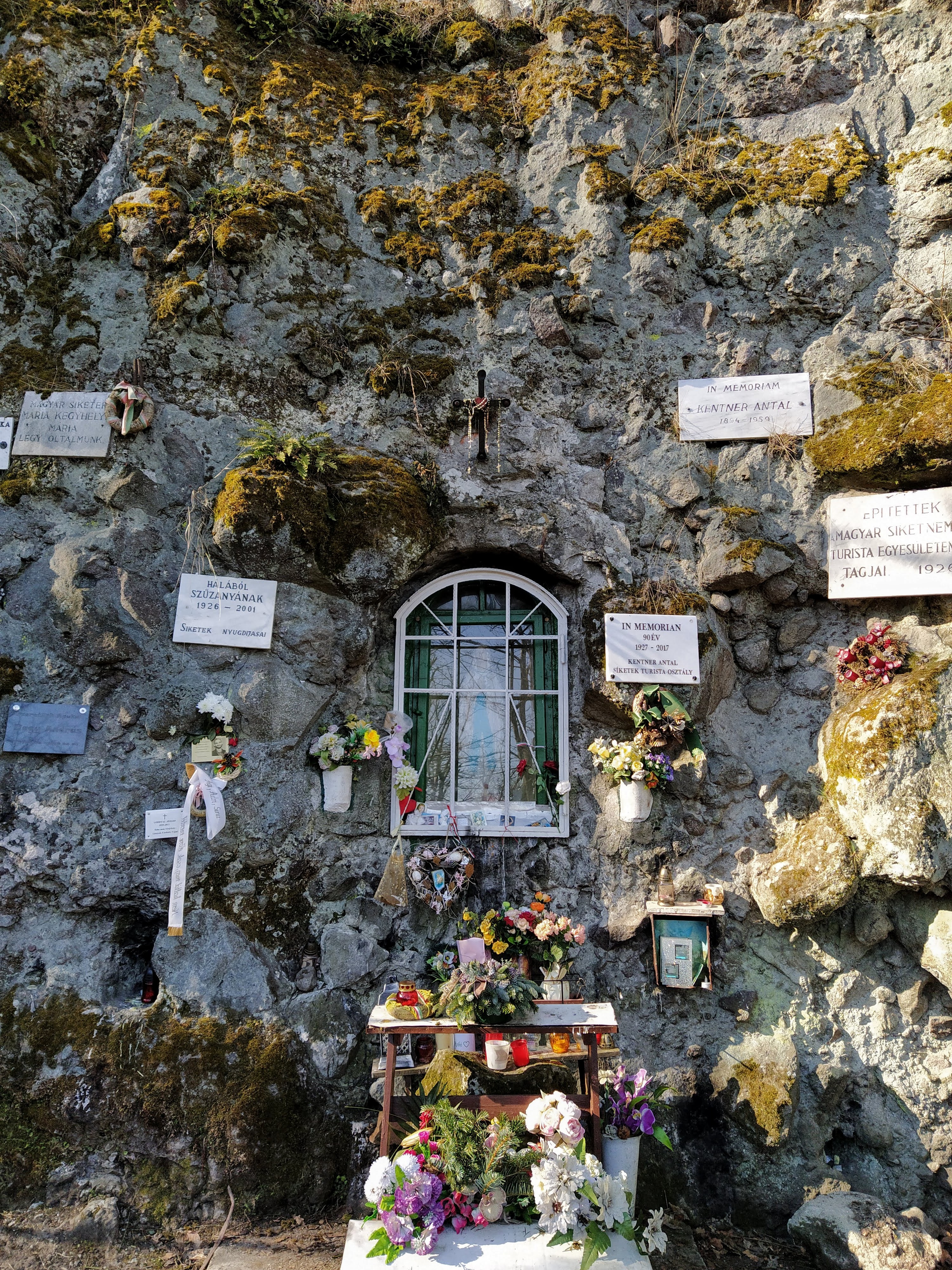
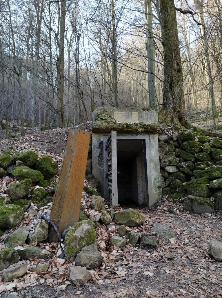
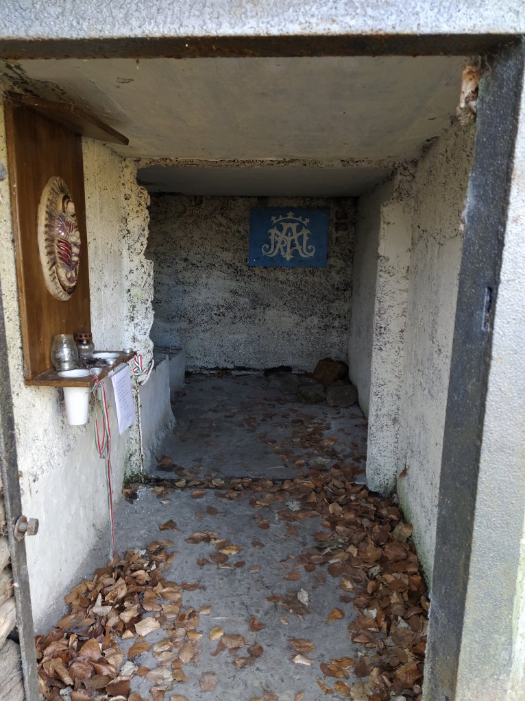
After this struggle, we finally started our hike by taking briefly the path behind the tourist house then turning left at the wooden gate that led us down to the Mary Shrine of the Deaf.
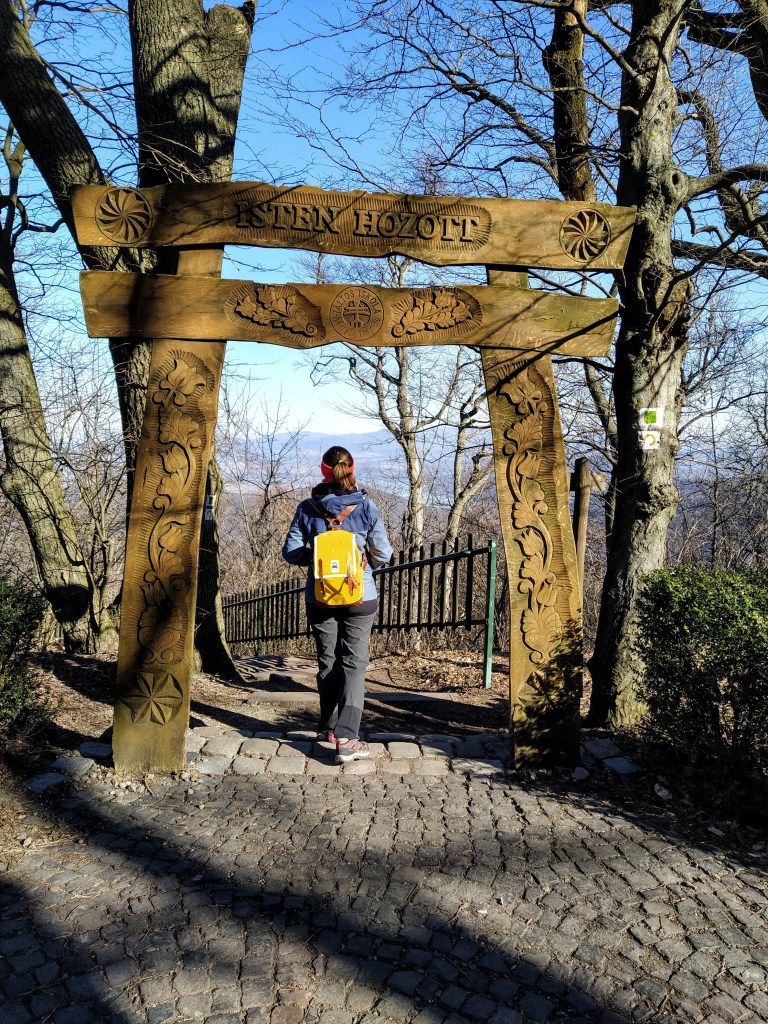
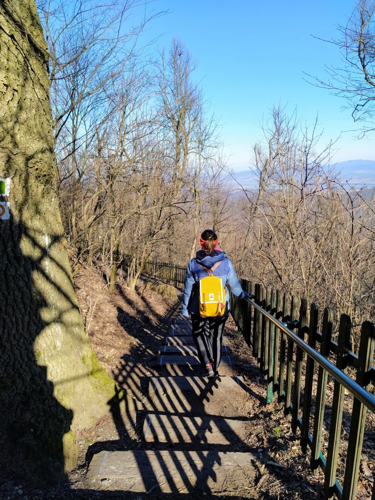
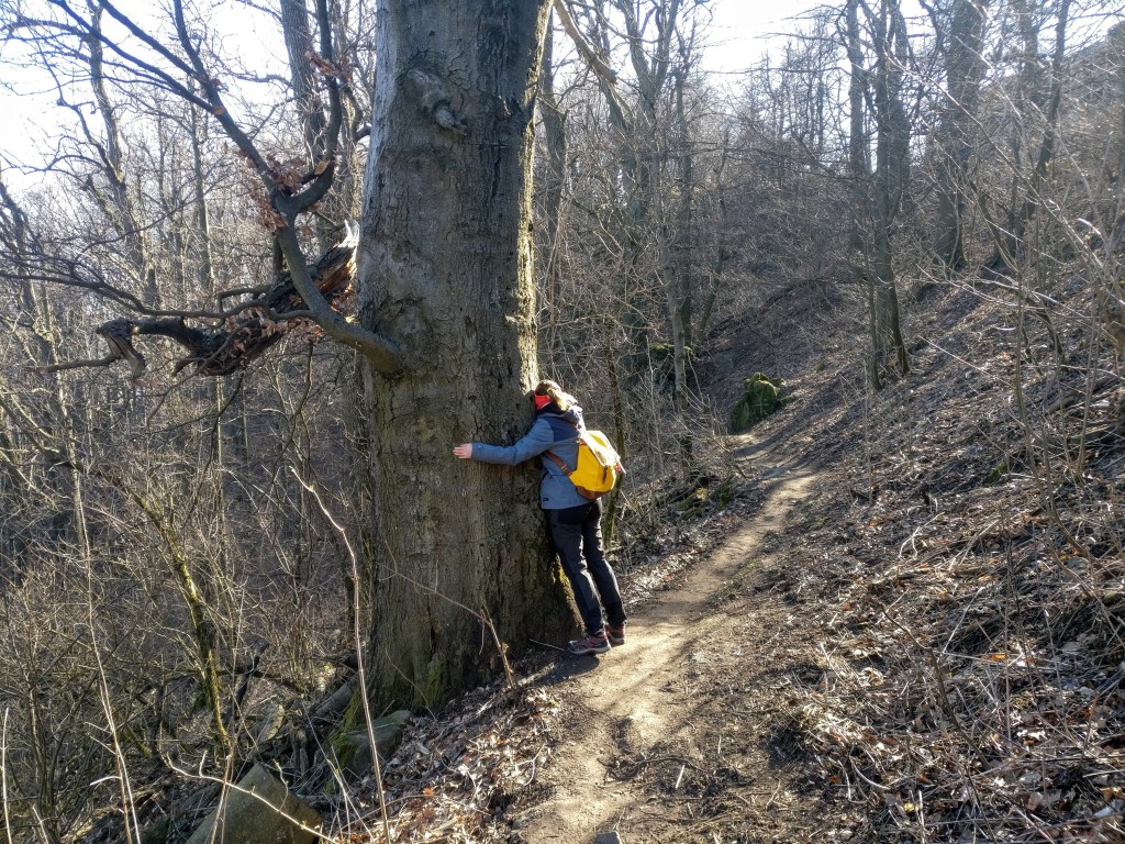
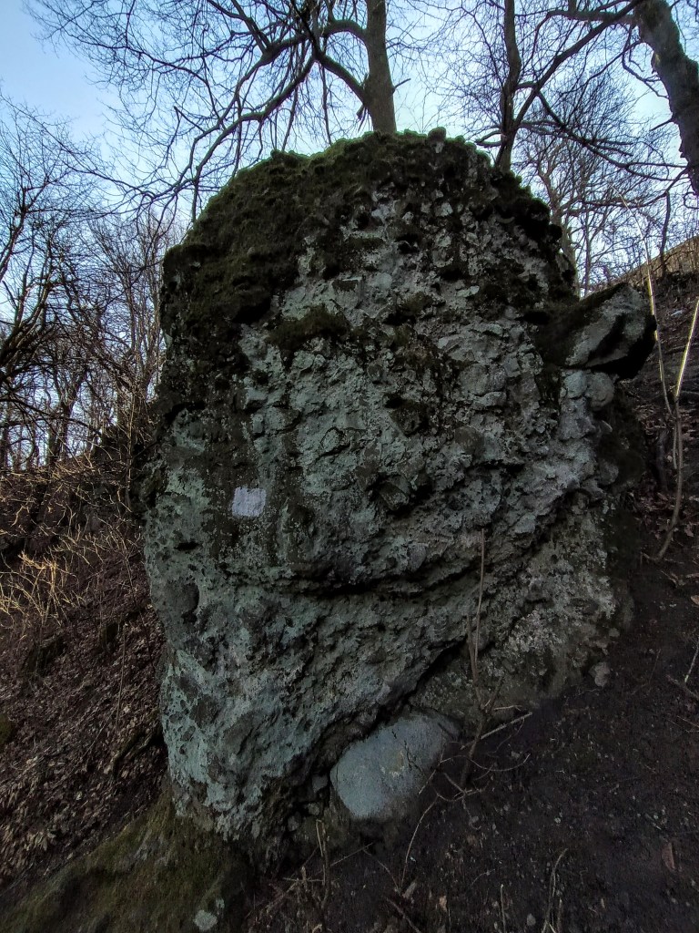
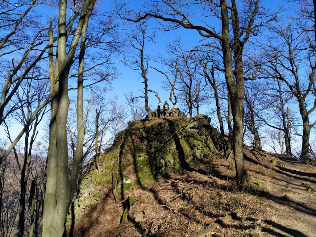
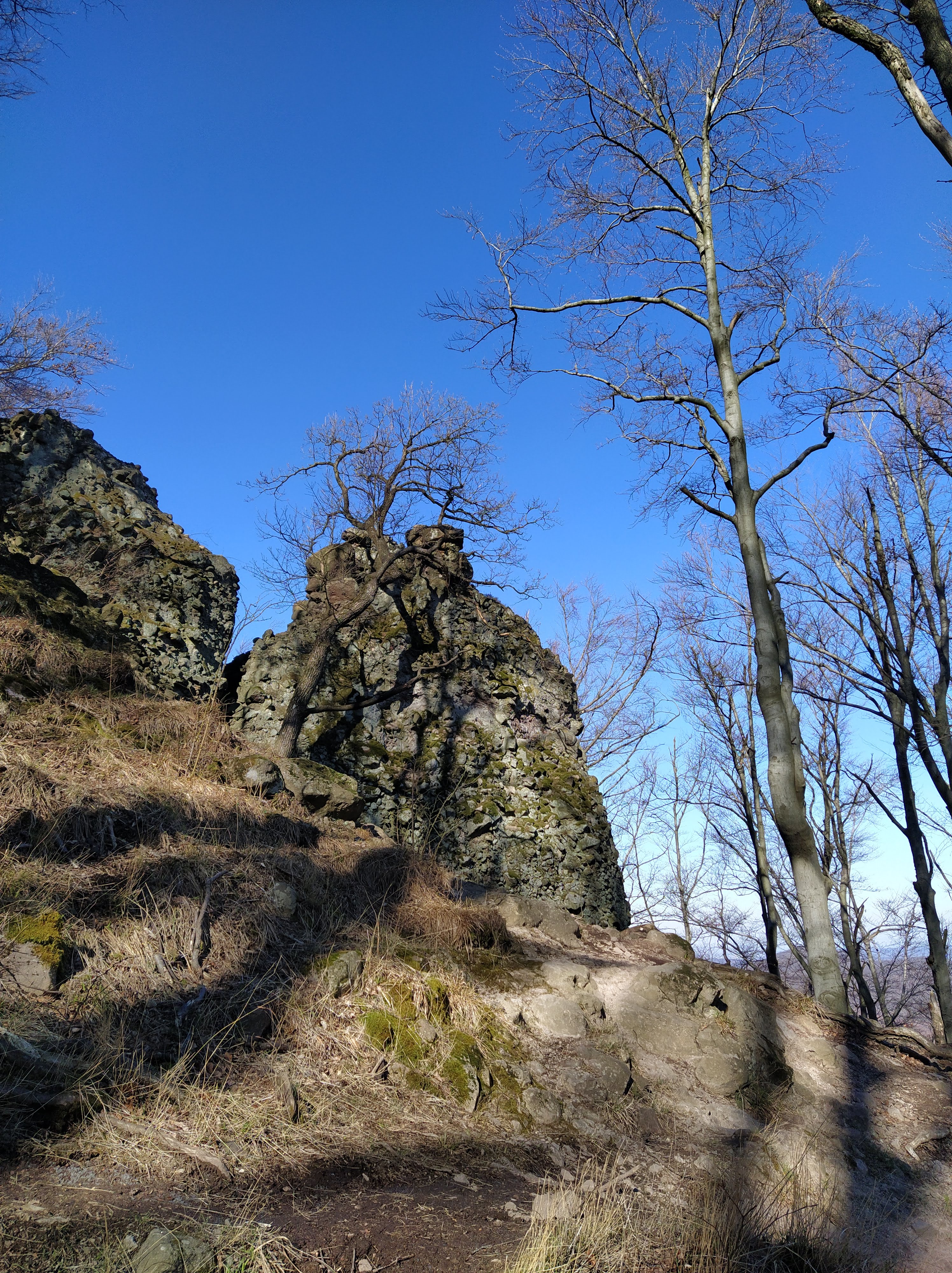
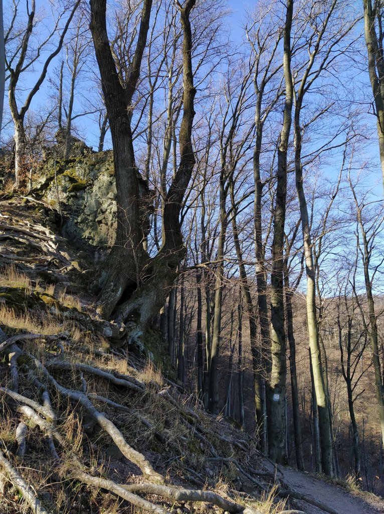
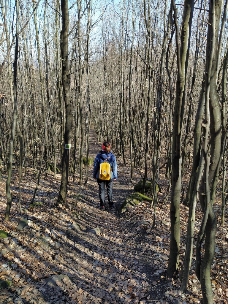
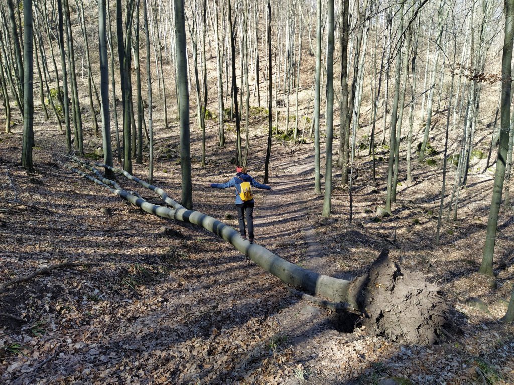
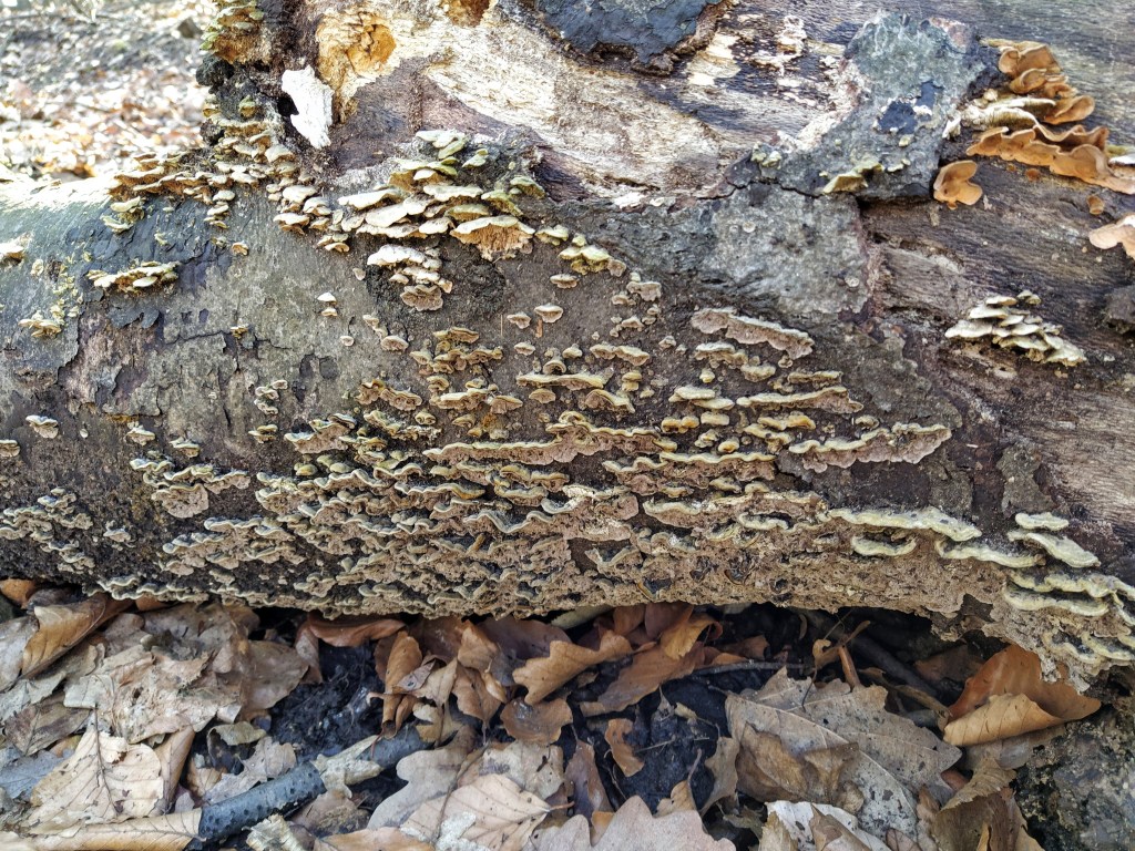
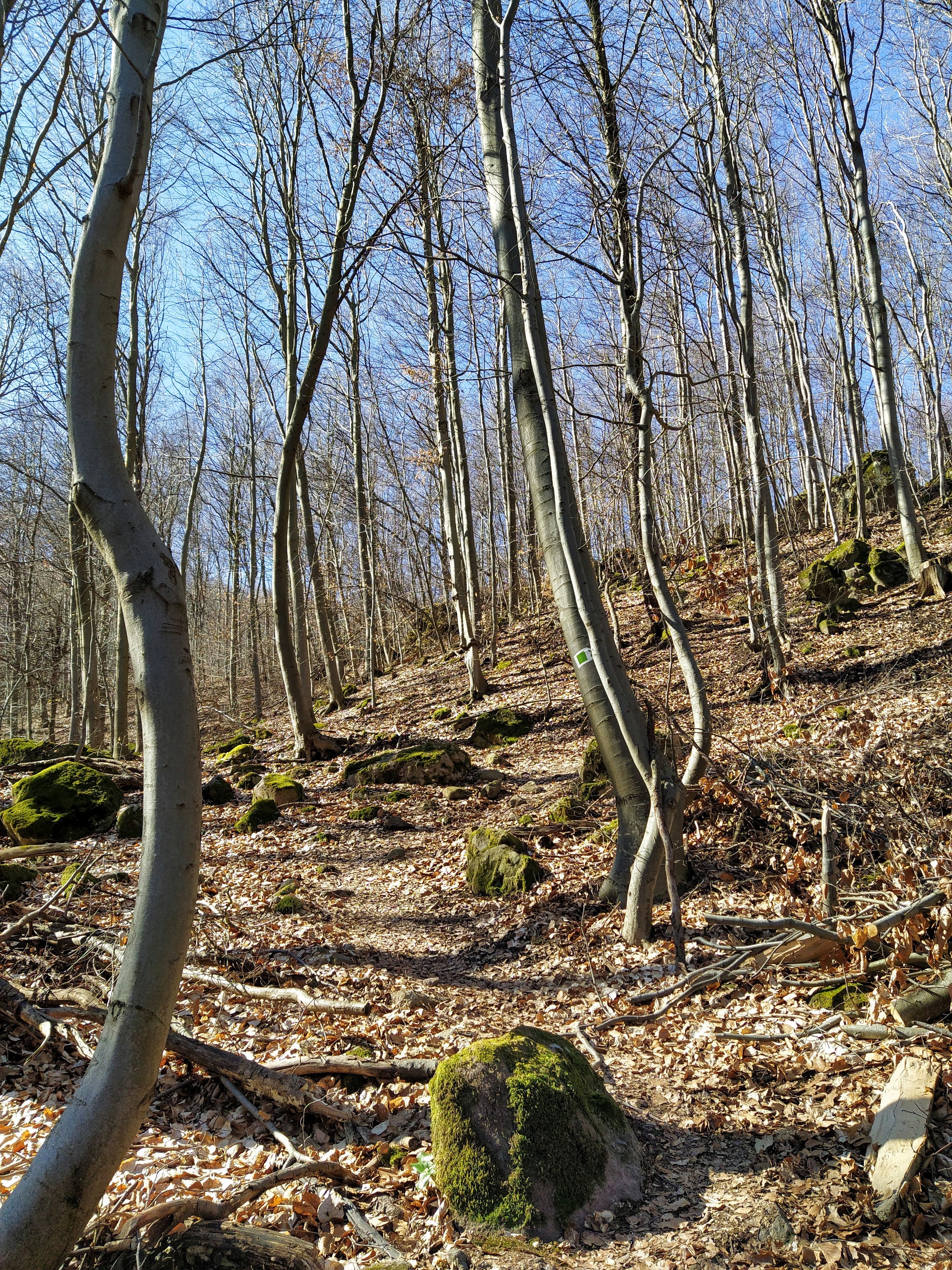
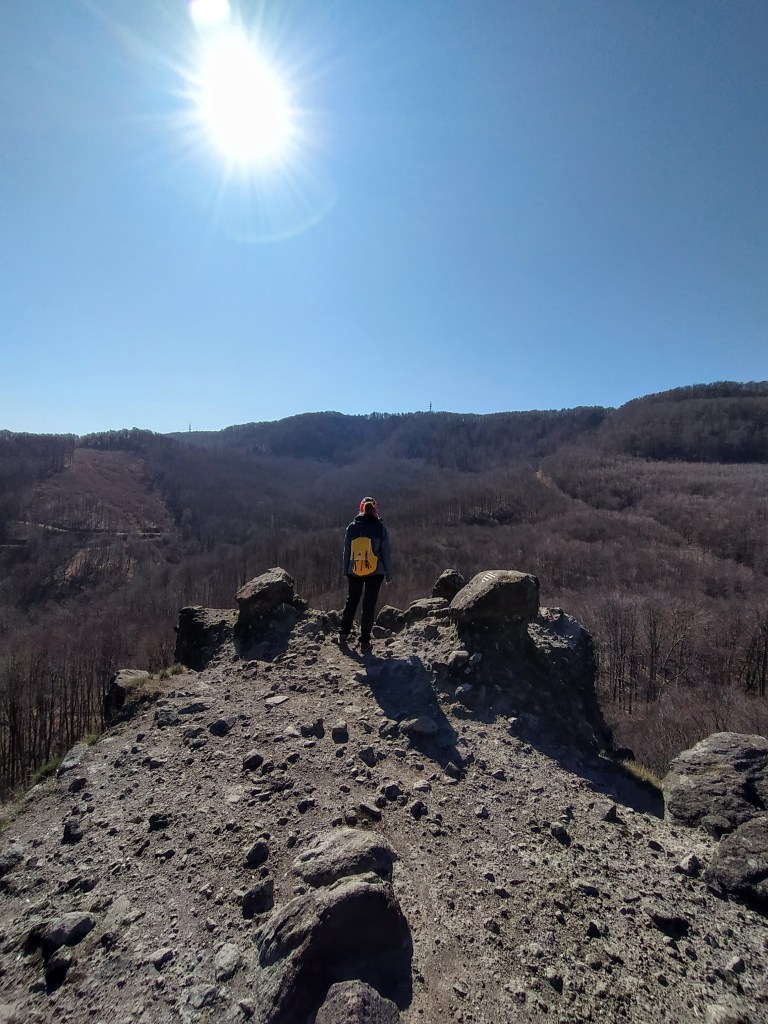
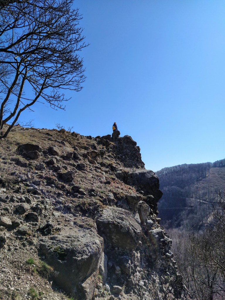
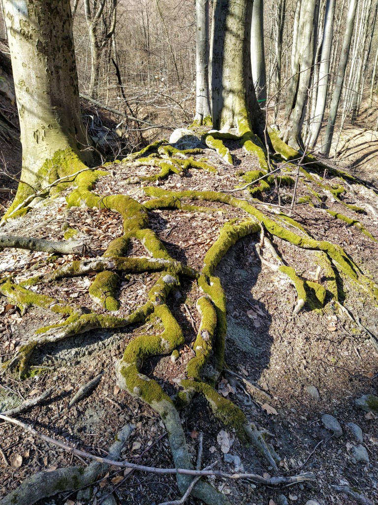
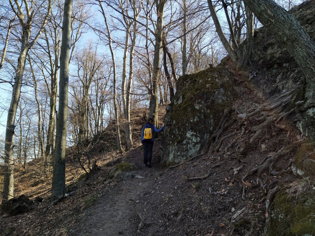
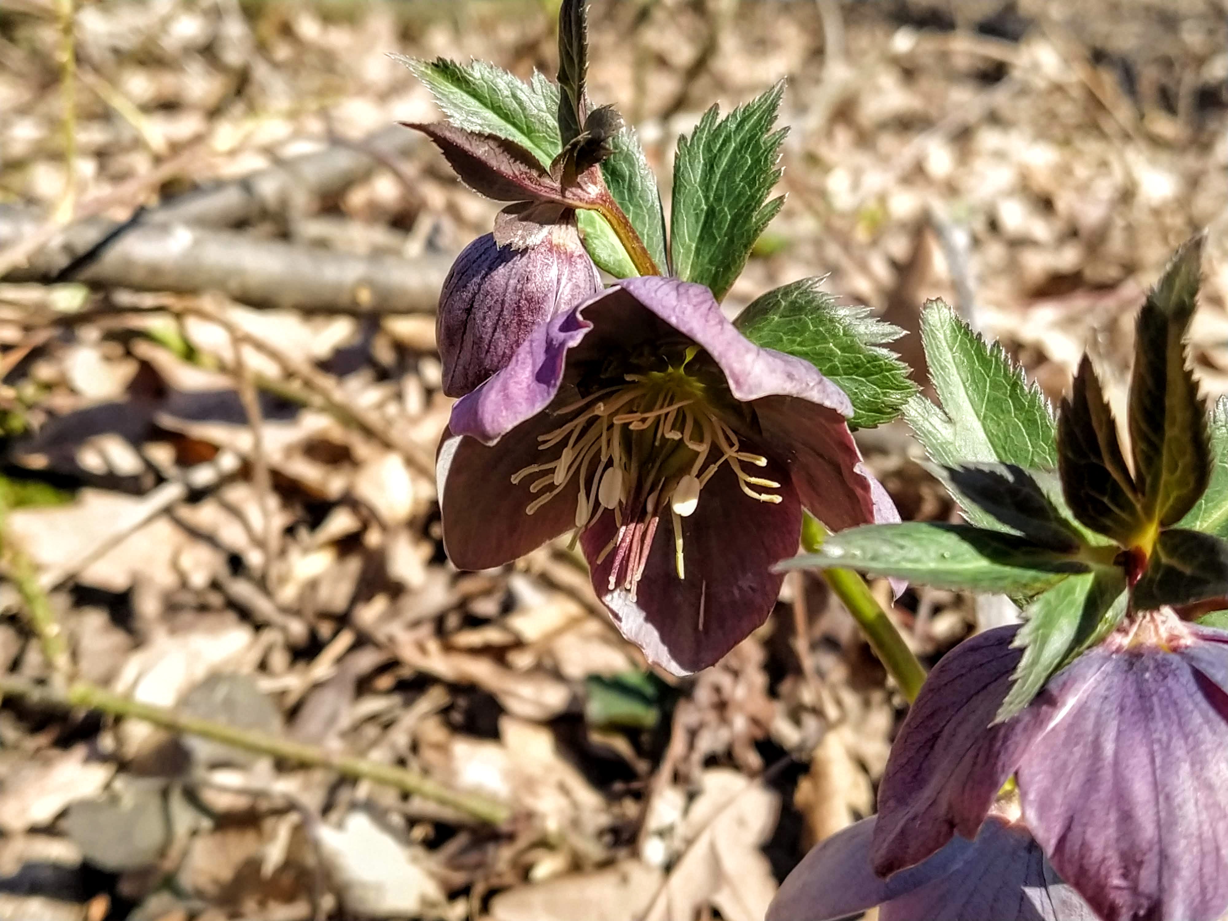
From here the trail descends slowly into the valley below Dobogó-kő. Ancient beech trees surrounded us as silent sentinels and the area was dotted with cone-shaped rocks, the results of long ago volcanic activity.
Of course, I couldn’t miss the opportunity and climbed on to one of them, I am really like a child sometimes, I have to climb up everywhere and in the excitement I ignore the fact that I’m scared of heights.
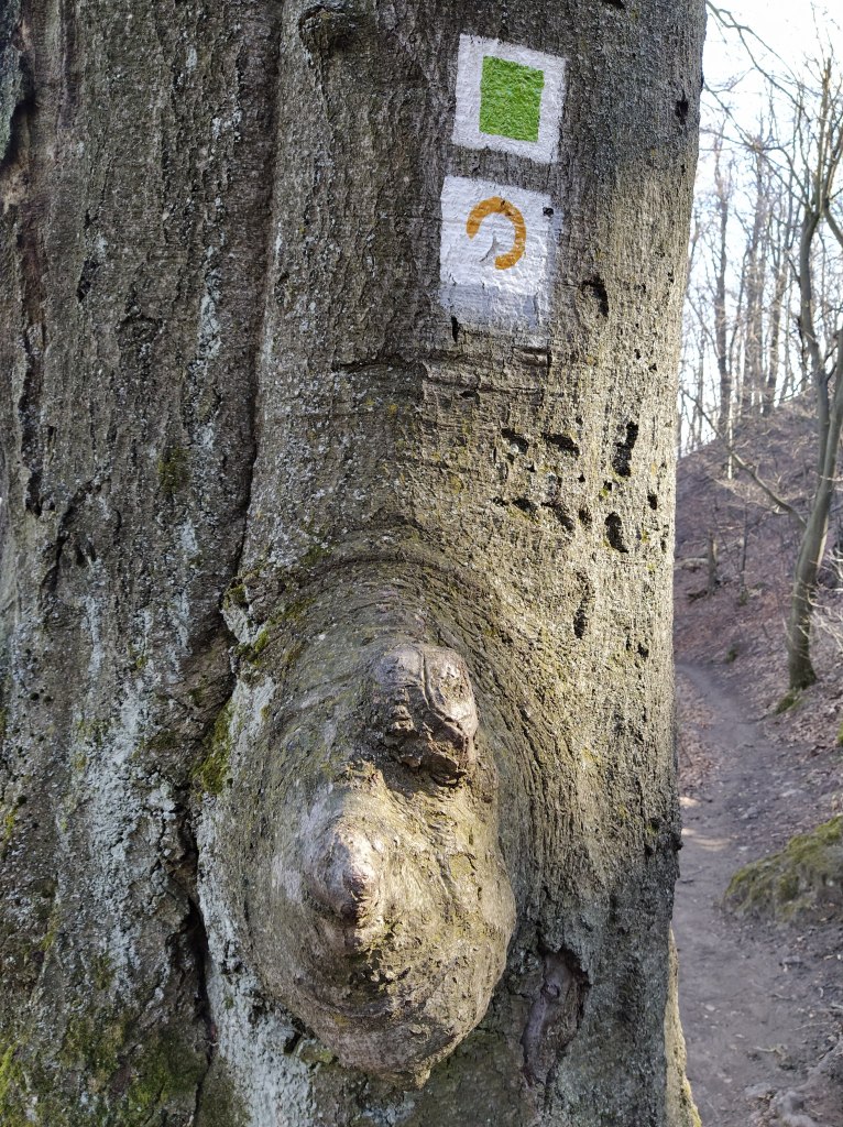
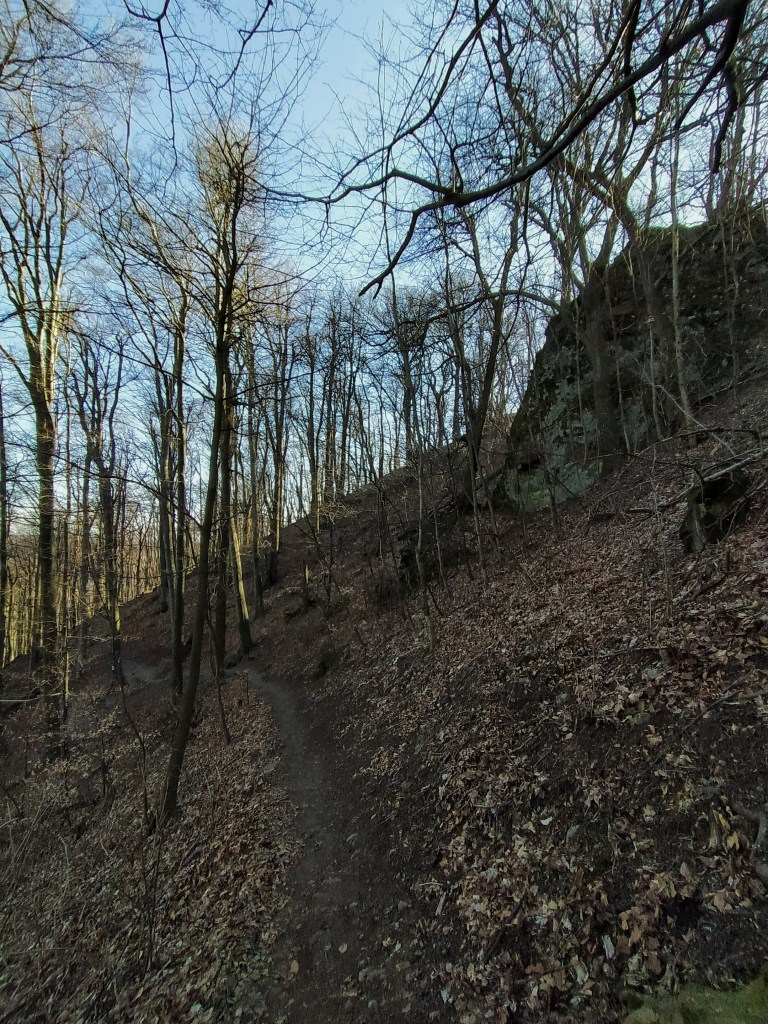
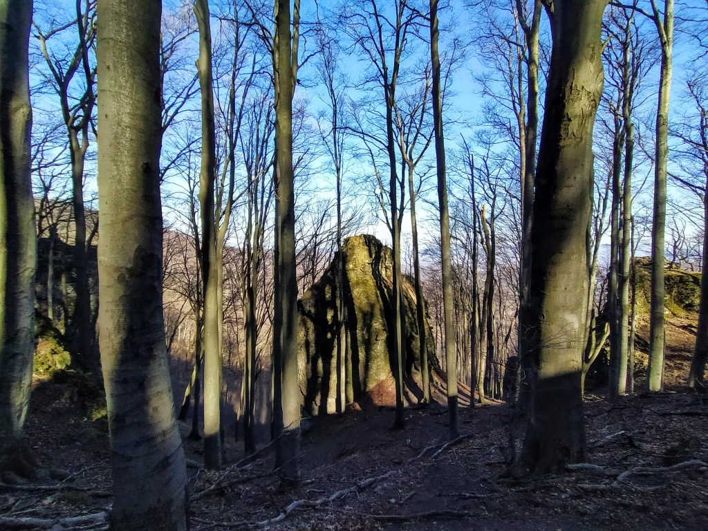
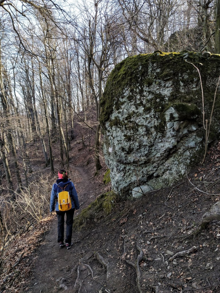
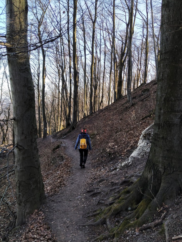
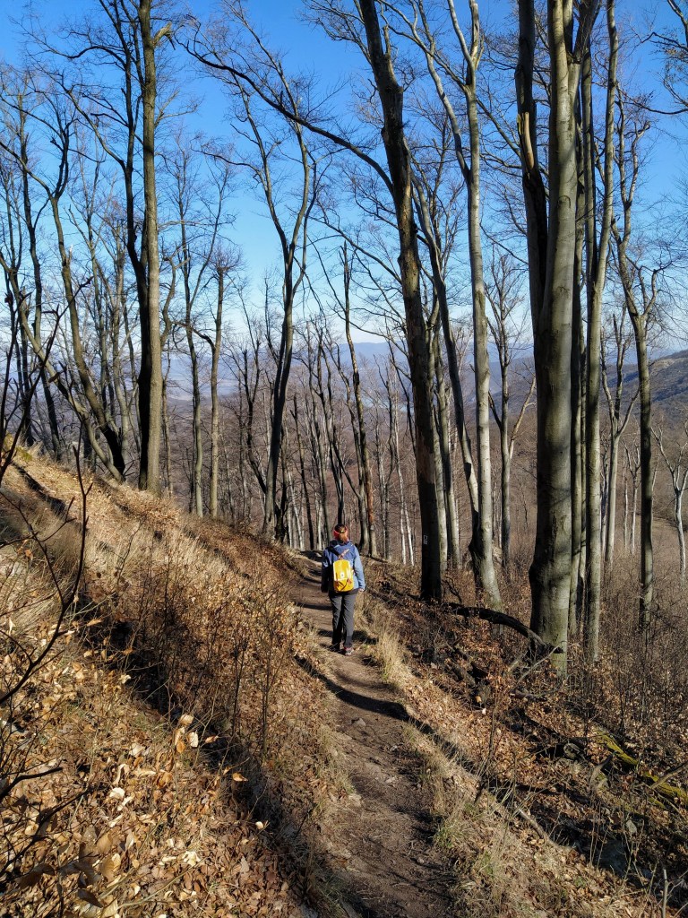
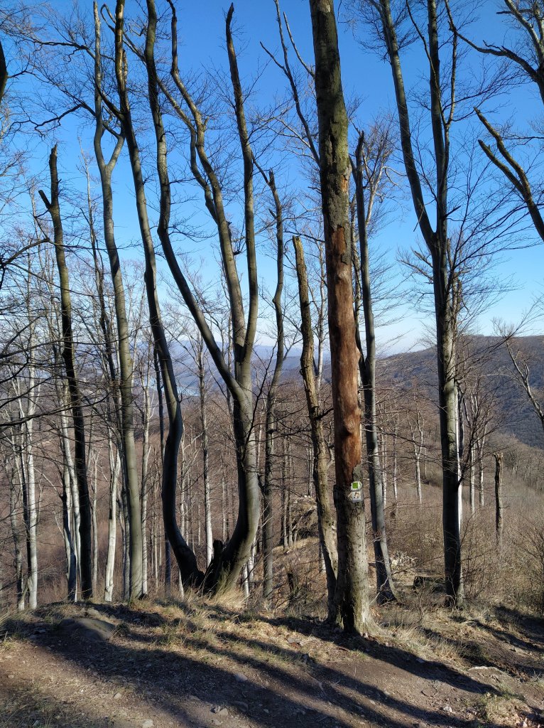
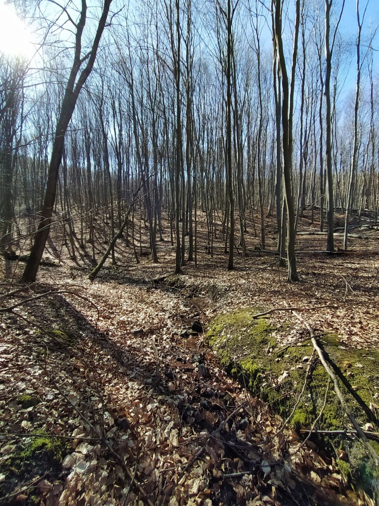
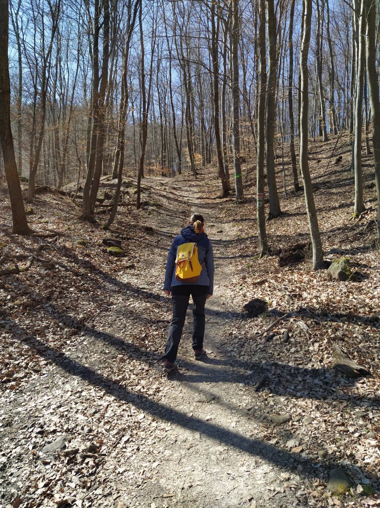
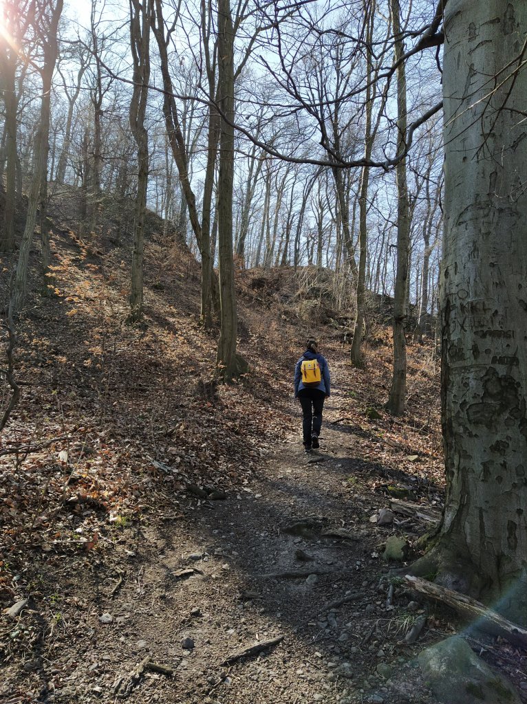
At the base of one of the rock cones, where the green and the yellow path part ways, we took green one and continued our descent as the forest slowly changed around. Still beech trees but relatively younger ones and whole lot more of them. At this point, I already knew that we will have to pay the price of all this walking downwards when we would have to mount back.
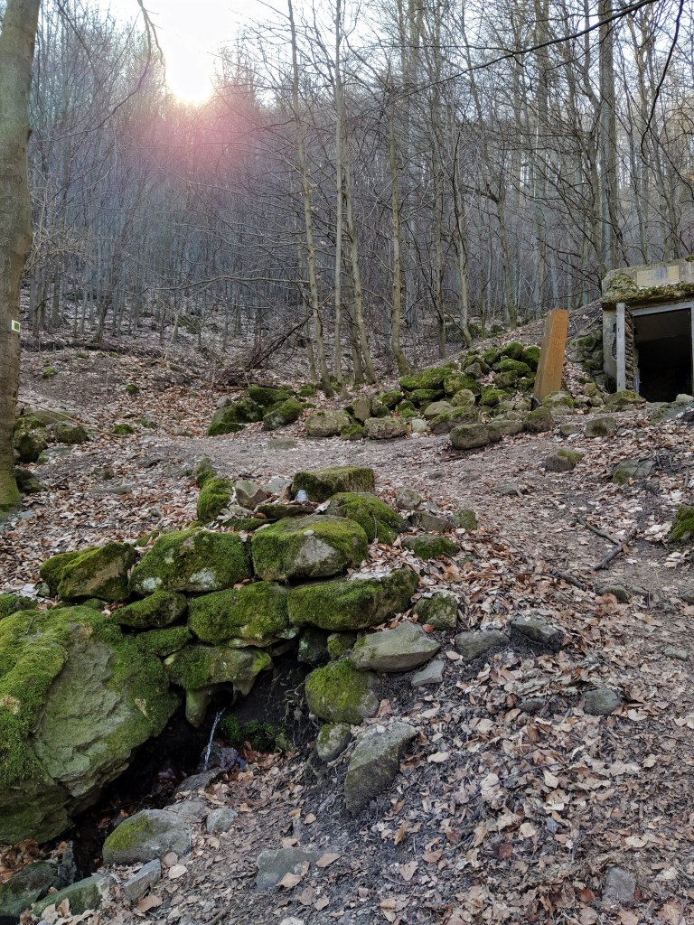
A little while later, we arrived at the clearing of the Nagyboldogasszony spring, which had in my opinion a cute but according to my boyfriend an eerie, well house.
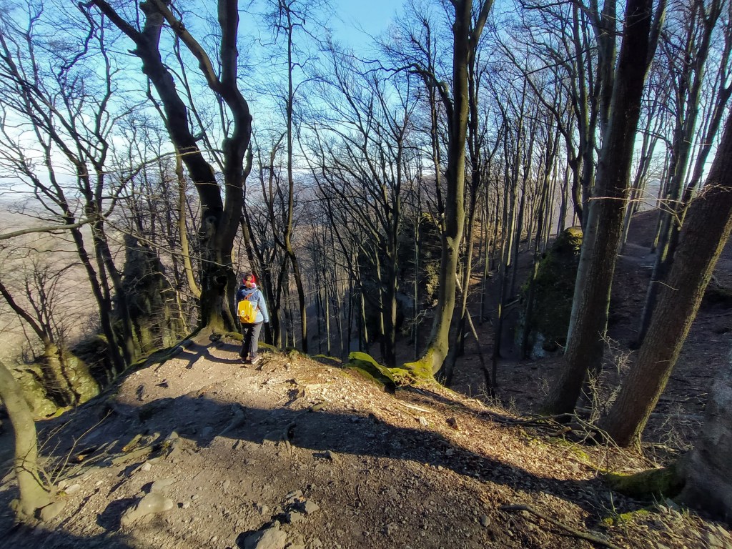
The sun was streaming through the trees, birds were announcing that spring is around the corner as we strolled along the valley and then on a wide dirt road towards the Rám hill.
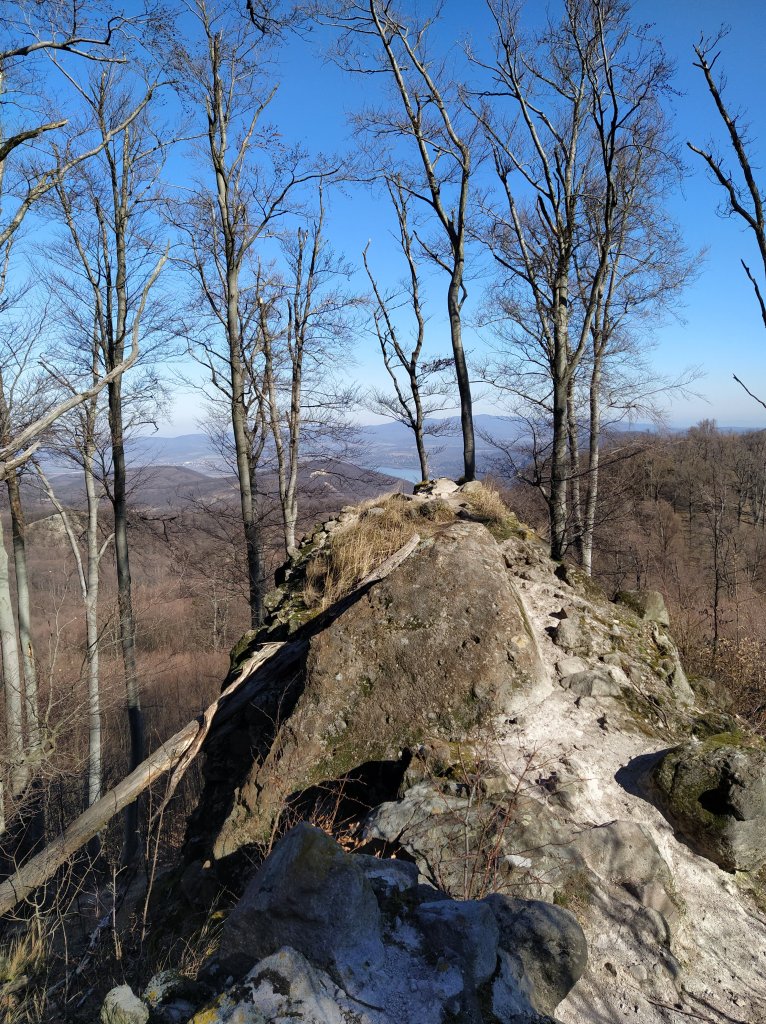
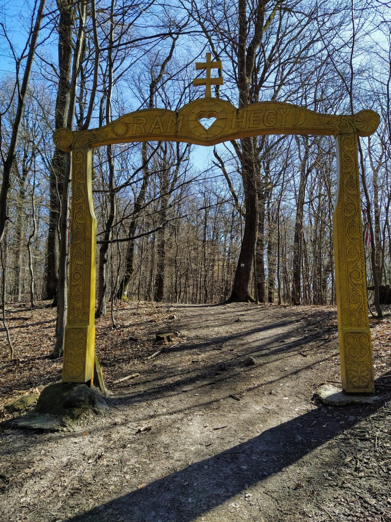
The ‘entrance’ to the hill is marked with a lovely carved wooden gate. A short but steep upwards hike later, we reached the bare hill top. Nice view, but in my opinion it can’t beat the one from Dobogó-kő. Although, if photographed from below, the rocks had a Lion King feel to it. ♫ Naaaants ingonyama bagithi Baba ♫ Sorry got carried away for a moment.
Where’s a lion cub when you need one? 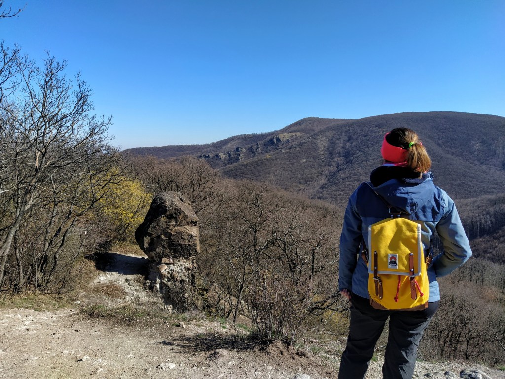
The next leg of the hike took us through the area of the Three Springs, as the name suggest we crossed over three brooks. Due to the dry weather there wasn’t much water in them, so getting over was not a big thing. We were directly ‘above’ the Rám precipice which is one of the most popular natural attractions in Hungary, and a star of student field trips. If all goes as planned, we will go there this summer at the crack of dawn, cause I don’t want to stand in line during a hike. Anyway, back to our trip, where was I… oh yes, the Three Springs.
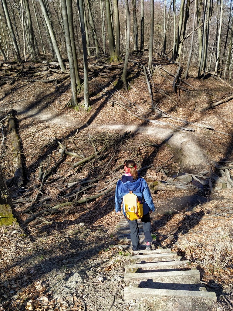
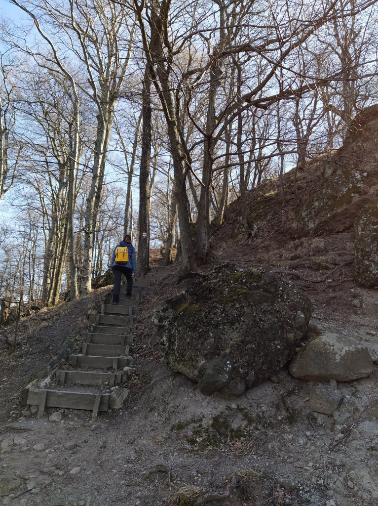
After successfully crossing all three of them, we arrived at an intersection, where we kept following the green sign in the direction of the Szakó nyereg ,Szakó (mountain)saddle. Not long after the junction, we crossed over the upper part the Lukács Trench. The descent is facilitated by wooden stairs and I loved it, I have no idea why but these ‘natural’ stairs always give me a buzz, I guess it’s one of my strange perversions.
One, 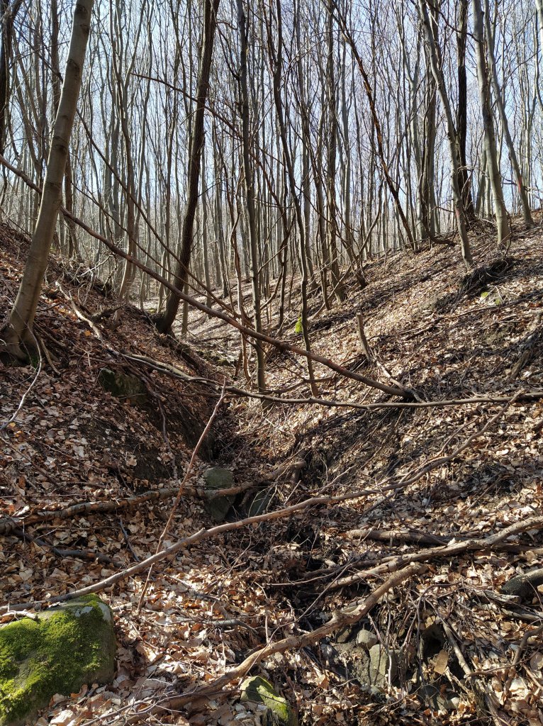
two 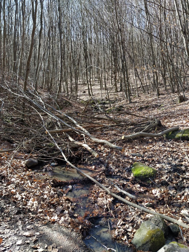
and three 
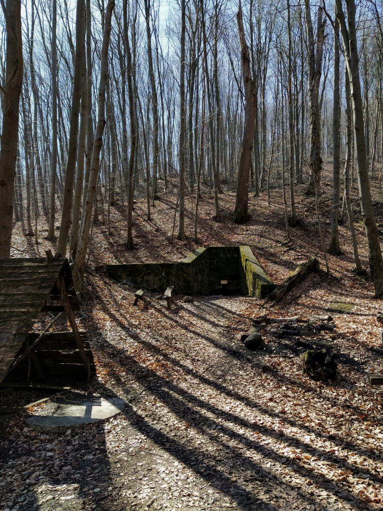
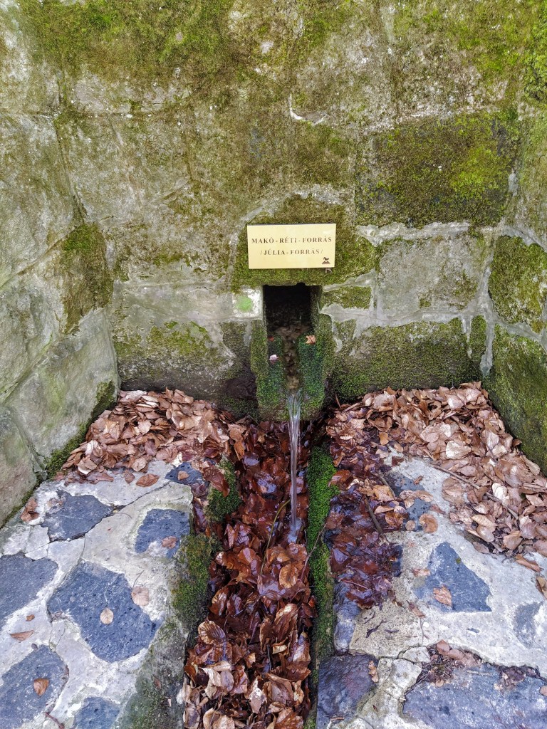
Right after the trench, we had a chance to quench our thirst at the Júlia spring. I love the taste of fresh water and yes, it does have a taste, I don’t care what the infidels say, so I took the opportunity to drink as much as I could.
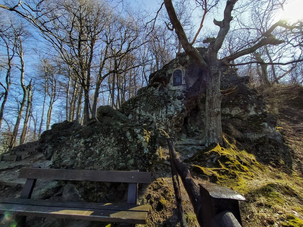
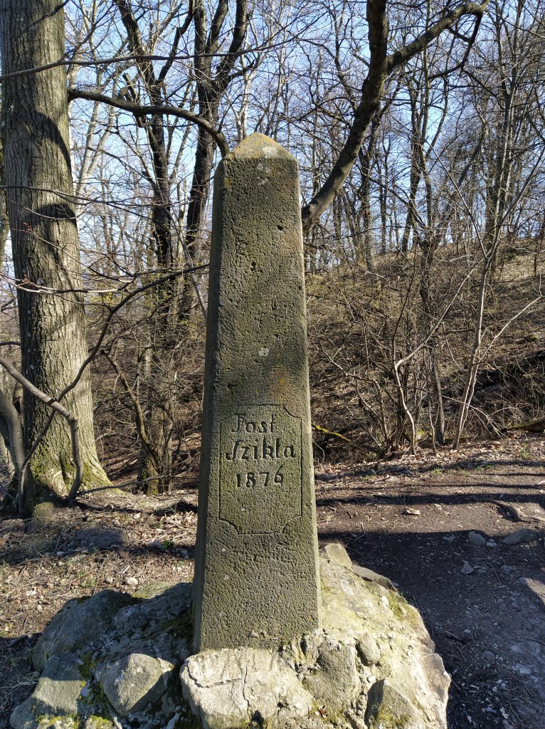
After the refreshment, the time of reckoning came as we started to climb back up to the mountain top, eventually leaving the green path for the red one that would take us back to our starting point. Thankfully, on the hike up we found to resting areas, first the Ilona pihenőpont at the foot of the Tost rocks, then at the obelisk mounted in the memory of Tost Gyula. I’m not sure why the rocks were named after him, so if you have more information on that, let me know.

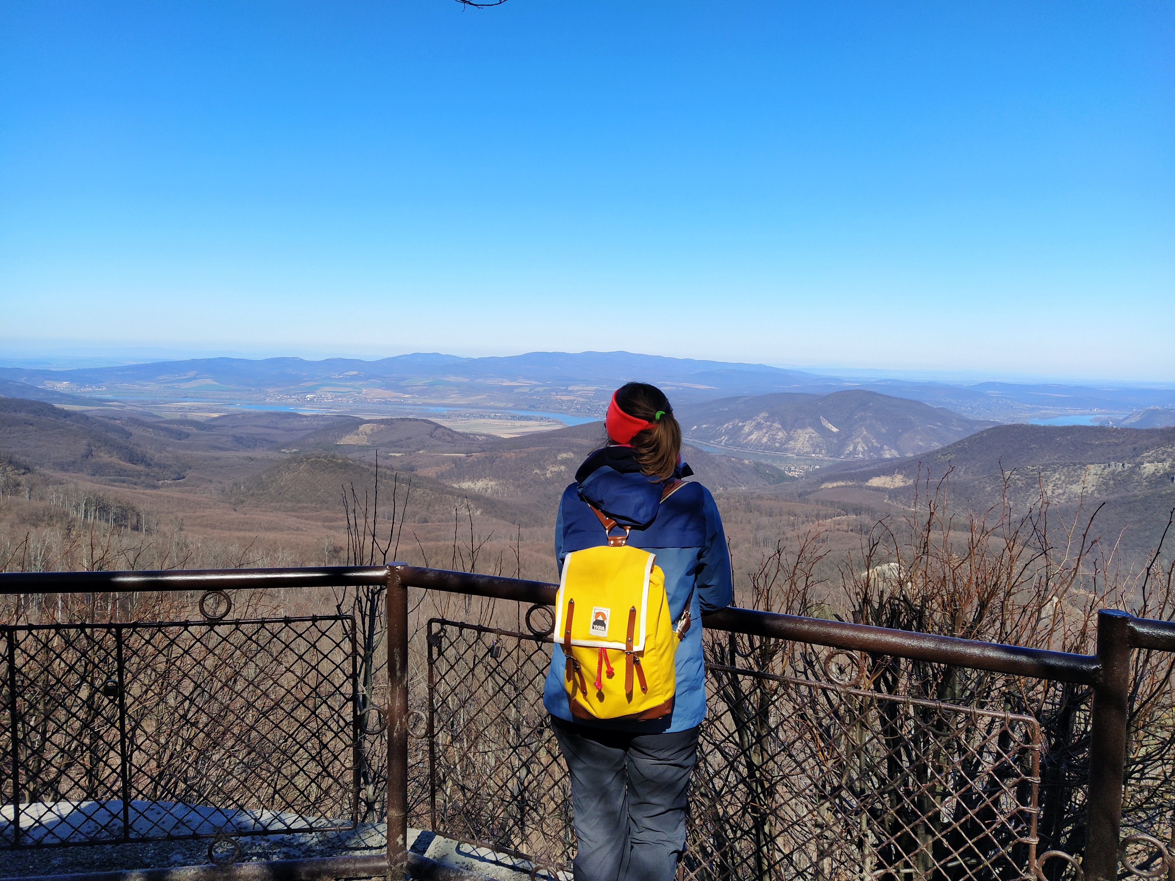
We made our way back to Dobogókő and closed our roundtrip with another lookout point, named after Rezső Tirts ( an activist of the Hungarian tourist movement) and we were rewarded with another magnificent panorama of the surrounding area.
Details of the walk
Distance: 8,2 kilometres
Elevation: 297 metres
Route: http://out.ac/ozjdr (GPX and KML formats are available)
How to get there: By public transport: bus 860 from the HÉV station at Pomáz
By car: Just enter Dobogókő into the GPS
